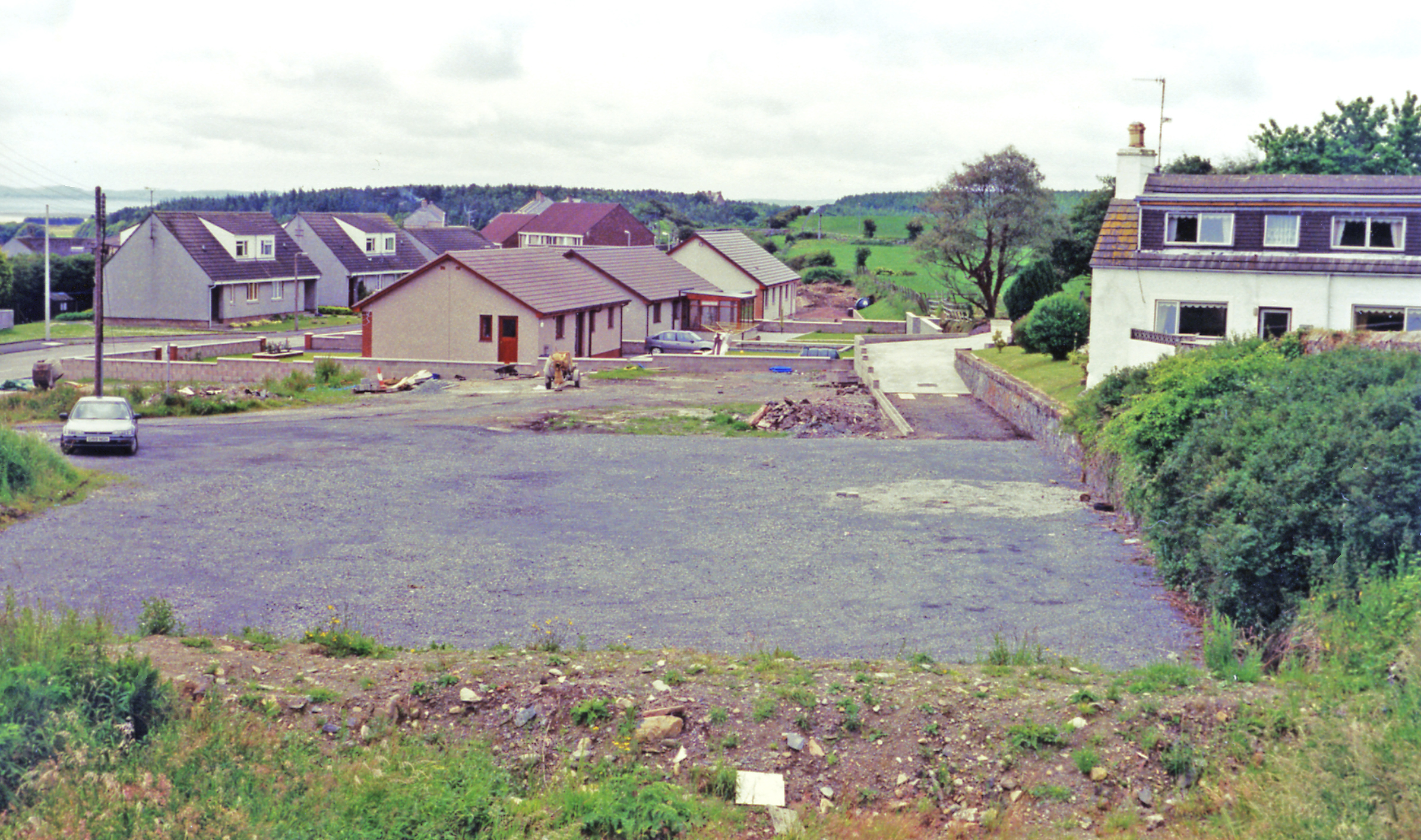
Barlockhart Plantation

Wood, Forest in Wigtownshire

Scotland

Barlockhart Plantation

Norheim On the coast south of Glenluce.
Norheim Credit: Russel Wills

Barlockhart Plantation is a picturesque woodland located in Wigtownshire, Scotland. Covering an extensive area, it is renowned for its natural beauty and tranquil atmosphere. The plantation is situated near the village of Kirkcowan, making it easily accessible for visitors who wish to explore its enchanting surroundings.

The woodland consists predominantly of native tree species, including oak, birch, and Scots pine, creating a diverse and thriving ecosystem. The dense foliage provides a haven for a wide variety of wildlife, such as red squirrels, roe deer, and a plethora of bird species, making it a popular spot for nature enthusiasts and birdwatchers.

Visitors can enjoy a range of activities within Barlockhart Plantation. There are well-maintained walking trails that meander throughout the woodland, allowing visitors to immerse themselves in the peaceful ambiance and take in the breathtaking views. The trails cater to all levels of fitness, with options for both leisurely strolls and more challenging hikes.

The plantation also offers a picnic area, where visitors can relax and enjoy a meal amidst the natural surroundings. For those seeking a longer stay, there are camping facilities available nearby, providing an opportunity to truly immerse oneself in the tranquility of the woodland.

Barlockhart Plantation is a true gem in Wigtownshire, offering a perfect blend of natural beauty, wildlife, and recreational opportunities. Whether one is seeking a peaceful walk, a chance to observe wildlife, or simply a place to unwind and connect with nature, Barlockhart Plantation is a must-visit destination.

If you have any feedback on the listing, please let us know in the comments section below.

Barlockhart Plantation Images

Images are sourced within 2km of 54.861081/-4.7854376 or Grid Reference NX2155. Thanks to Geograph Open Source API. All images are credited.

Norheim On the coast south of Glenluce.
Norheim
On the coast south of Glenluce.
Slipway at Stairhaven Into Luce Bay.
Slipway at Stairhaven
Into Luce Bay.
The beach at Stairhaven The Barnsallie Burn runs into Luce Bay.
The beach at Stairhaven
The Barnsallie Burn runs into Luce Bay.
Looking toward Kilfillan Point Grassland running down to rocky coast.
Looking toward Kilfillan Point
Grassland running down to rocky coast.
Kilfillan Cottage Overlooking Luce Bay and Luce Sands when the tide is out!
Kilfillan Cottage
Overlooking Luce Bay and Luce Sands when the tide is out!
Balcarry Holdings Above Luce Bay.
Balcarry Holdings
Above Luce Bay.
Ideal cycling country Flattish, quiet roads with good views.
Ideal cycling country
Flattish, quiet roads with good views.
Approaching South Milton on National Cycle Network Route 73 This is a 63.7-km point-to-point trail near Newton Stewart, Dumfries and Galloway. Generally considered a moderately challenging route, it takes an average of 15 h 2 min to complete. This trail is great for birding, camping, and hiking. The trail is open year-round and is beautiful to visit anytime.
<span class="nowrap"><a title="https://www.alltrails.com/trail/scotland/dumfries-and-galloway/national-cycle-network-route-73-from-newton-stewart" rel="nofollow ugc noopener" href="https://www.alltrails.com/trail/scotland/dumfries-and-galloway/national-cycle-network-route-73-from-newton-stewart">Link</a><img style="margin-left:2px;" alt="External link" title="External link - shift click to open in new window" src="https://s1.geograph.org.uk/img/external.png" width="10" height="10"/></span>
Approaching South Milton on National Cycle Network Route 73
This is a 63.7-km point-to-point trail near Newton Stewart, Dumfries and Galloway. Generally considered a moderately challenging route, it takes an average of 15 h 2 min to complete. This trail is great for birding, camping, and hiking. The trail is open year-round and is beautiful to visit anytime. LinkExternal link
Near Crews Beside the A747.
Near Crews
Beside the A747.
Barnsallie Fell Fields beside the A747.
Barnsallie Fell
Fields beside the A747.
A747, Barnsallie
A747, Barnsallie
A747 Barlockhart Moor wind farm.
A747
Barlockhart Moor wind farm.
Barlockhart Moor wind farm
Barlockhart Quarry
Barlockhart Quarry
Barlockhart Quarry
Barlockhart Quarry
Mast at Fell Wood, Glenluce Viewed from Main Street in Glenluce.
Mast at Fell Wood, Glenluce
Viewed from Main Street in Glenluce.
Gate to Farmland, Glenluce With view of wind turbines on Barlockhart Moor.
Gate to Farmland, Glenluce
With view of wind turbines on Barlockhart Moor.
Wind Turbines at Rest On Barlockhart Moor, viewed from the A747.
Wind Turbines at Rest
On Barlockhart Moor, viewed from the A747.
Show me another place!

Barlockhart Plantation is located at Grid Ref: NX2155 (Lat: 54.861081, Lng: -4.7854376)

Unitary Authority: Dumfries and Galloway

Police Authority: Dumfries and Galloway

What 3 Words

///enough.reserved.shield. Near Stranraer, Dumfries & Galloway

Nearby Locations

Barlockhart Plantation

Related Wikis

Old Luce

Old Luce is a civil parish in Dumfries and Galloway, Scotland. It lies in the Machars peninsula, in the traditional county of Wigtownshire. The parish...

Glenluce

Glenluce (Scottish Gaelic: Clachan Ghlinn Lus) is a small village in the parish of Old Luce in Wigtownshire, Scotland. It contains a village shop,a caravan...

Glenluce railway station

Glenluce station was a station open in 1862 on the former Port Road that was constructed on the Portpatrick and Wigtownshire Joint Railway. It served...

Castle of Park

The Castle of Park is a 16th-century L-plan tower house near Glenluce, in the historic county of Wigtownshire in Dumfries and Galloway, Scotland. It...

Nearby Amenities

Located within 500m of 54.861081,-4.7854376
Power: pole
Lat/Long: 54.8570725/-4.7875715
Power: pole
Lat/Long: 54.8579714/-4.7880407
Power: pole
Lat/Long: 54.8588487/-4.7884989
Power: pole
Lat/Long: 54.8596829/-4.7889346
Power: pole
Lat/Long: 54.8604882/-4.7893552
Power: pole
Lat/Long: 54.8612009/-4.7897483
Power: pole
Lat/Long: 54.8618918/-4.7901139
Power: pole
Lat/Long: 54.8626654/-4.7902449
Power: pole
Lat/Long: 54.8633988/-4.7903632
Power: pole
Lat/Long: 54.8644034/-4.7905407
Power: pole
Lat/Long: 54.8588436/-4.7882943
Power: pole
Lat/Long: 54.8588229/-4.790061
Power: pole
Lat/Long: 54.8588071/-4.7913163
The data included in this document is from www.openstreetmap.org. The data is made available under ODbL.

Have you been to Barlockhart Plantation?

Leave your review of Barlockhart Plantation below (or comments, questions and feedback).