Glenside Wood
Wood, Forest in Ayrshire
Scotland
Glenside Wood
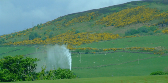
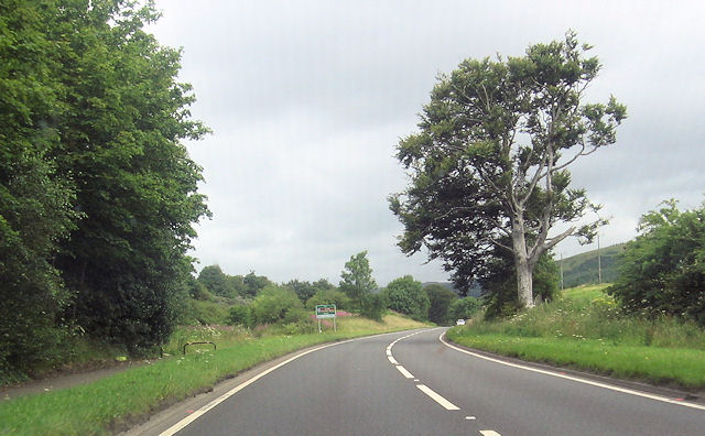
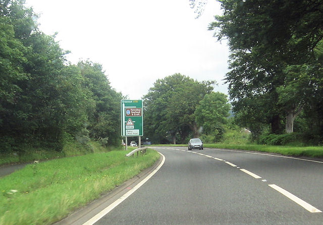
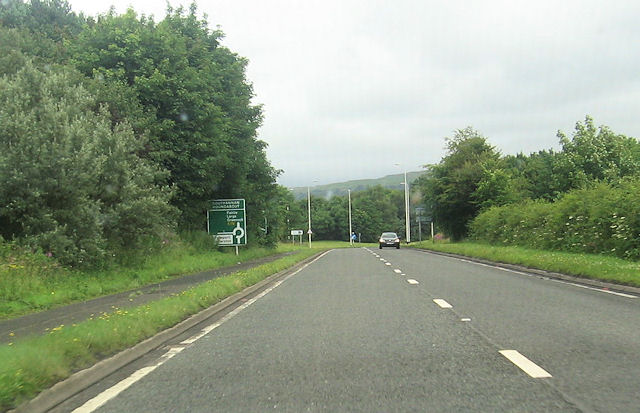
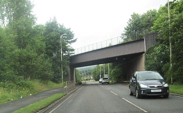
Glenside Wood is a picturesque woodland located in Ayrshire, Scotland. Covering an area of approximately 100 hectares, the wood is a popular destination for nature enthusiasts and outdoor lovers alike. The forest is situated in close proximity to the town of Kilwinning, making it easily accessible to visitors.
The wood is characterized by its diverse range of tree species, including oak, beech, and birch. These towering trees provide a rich canopy, creating a serene and peaceful atmosphere within the forest. The undergrowth is lush and varied, with an abundance of ferns, wildflowers, and mosses, adding to the wood's natural beauty.
Glenside Wood is home to a wide variety of wildlife, making it an ideal location for birdwatchers and animal enthusiasts. Visitors may catch a glimpse of woodpeckers, owls, and various songbirds, as well as squirrels, badgers, and foxes. The woodland is also known for its rich insect life, with butterflies, dragonflies, and beetles being commonly spotted.
The wood offers several hiking trails and pathways, allowing visitors to explore its natural wonders at their own pace. These trails provide stunning views of the surrounding countryside and glimpses of the nearby Glengarnock Castle ruins, adding a touch of history to the wood's charm.
Glenside Wood is not only a place of natural beauty but also an important ecological site. It is a designated Local Nature Reserve, aiming to protect its unique flora and fauna. The wood provides an opportunity for both relaxation and education, making it a must-visit destination for anyone seeking a tranquil escape in the heart of Ayrshire.
If you have any feedback on the listing, please let us know in the comments section below.
Glenside Wood Images
Images are sourced within 2km of 55.733041/-4.8465027 or Grid Reference NS2152. Thanks to Geograph Open Source API. All images are credited.


Glenside Wood is located at Grid Ref: NS2152 (Lat: 55.733041, Lng: -4.8465027)
Unitary Authority: North Ayrshire
Police Authority: Ayrshire
What 3 Words
///buckets.withdraws.perfectly. Near Fairlie, North Ayrshire
Nearby Locations
Related Wikis
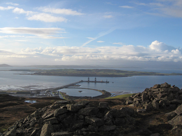
Hunterston Terminal
Hunterston Terminal, in North Ayrshire, Scotland, was an iron ore and coal-handling port located at Fairlie on the Firth of Clyde, operated by Clydeport...
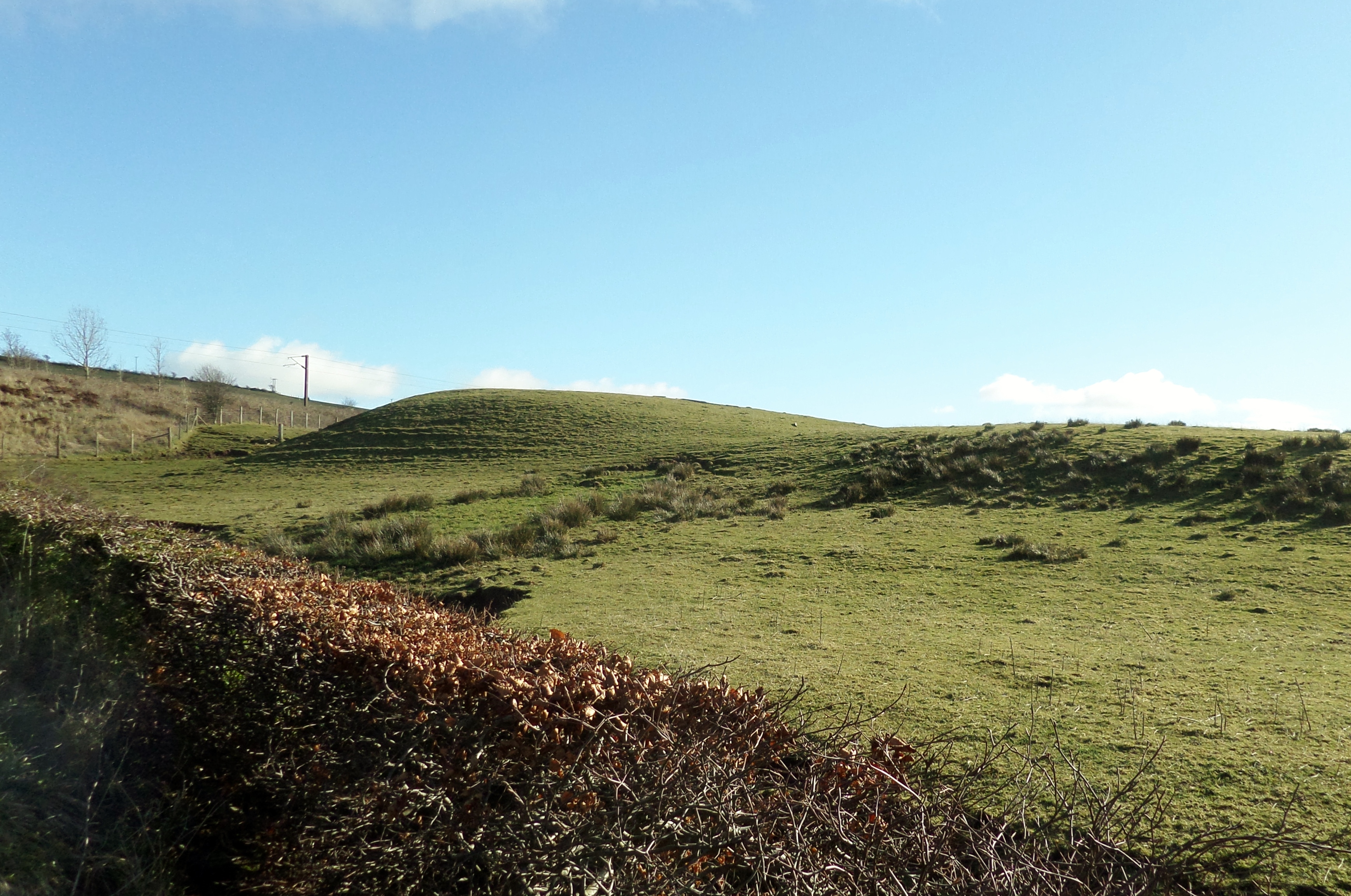
Castle Knowe, Kilruskin
The Castle Knowe (NS20365081), is a prominent mound located slightly to the west of North Kilruskin Farm on the Kilruskin Toll Road, West Kilbride, North...

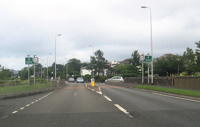
Fairlie railway station
Fairlie railway station serves the village of Fairlie, North Ayrshire, Scotland. The station is managed by ScotRail and is on the Ayrshire Coast Line....

Hunterston
Hunterston, by the Firth of Clyde, is a coastal area in Ayrshire, Scotland. It is the seat and estate of the Hunter family. As an area of flat land adjacent...
Nearby Amenities
Located within 500m of 55.733041,-4.8465027Have you been to Glenside Wood?
Leave your review of Glenside Wood below (or comments, questions and feedback).