Tauchet Wood

Wood, Forest in Ayrshire

Scotland

Tauchet Wood

Turnberry Lighthouse and castle ruins Viewed on a lovely late-January afternoon. Turnberry Castle, shown on both sides of the lighthouse, is the birth-place of Robert the Bruce.
Turnberry Lighthouse and castle ruins Credit: Mary and Angus Hogg

Tauchet Wood is a picturesque forest located in Ayrshire, Scotland. Covering an area of approximately 100 hectares, it is a haven for nature enthusiasts and outdoor adventurers alike. The wood is situated near the village of Tarbolton, offering easy access to visitors from both nearby towns and farther afield.

The woodland is predominantly composed of native broadleaf trees, including oak, birch, and ash. These majestic trees create a dense canopy, providing shelter and habitat for a diverse range of wildlife. Birdwatchers can spot various species, such as woodpeckers, tits, and finches, flitting among the branches. The forest floor is adorned with a rich carpet of wildflowers and ferns, adding to the enchanting atmosphere.

Several well-maintained walking trails crisscross the wood, allowing visitors to explore its beauty at their own pace. These paths lead through tranquil glades, babbling streams, and over wooden bridges, offering stunning views of the surrounding countryside. In spring, the forest bursts into life with vibrant displays of bluebells, while in autumn, the changing foliage creates a kaleidoscope of colors.

Tauchet Wood is also home to an abundance of wildlife. Red squirrels can be spotted darting between tree trunks, while roe deer occasionally graze in the open clearings. For those with a keen eye, evidence of badgers and foxes can be found in the form of tracks and burrows.

Overall, Tauchet Wood is a hidden gem in Ayrshire, offering visitors a chance to immerse themselves in the beauty of nature. Whether it's a leisurely stroll, a birdwatching expedition, or simply a peaceful retreat, this woodland provides a tranquil escape from the hustle and bustle of everyday life.

If you have any feedback on the listing, please let us know in the comments section below.
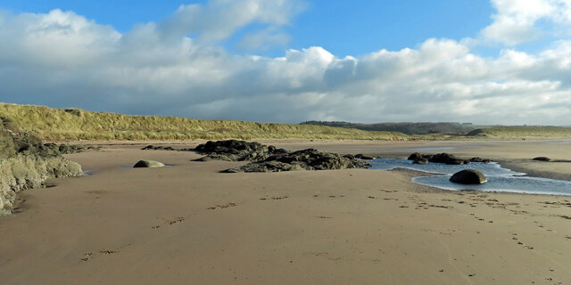
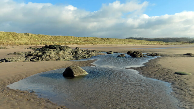
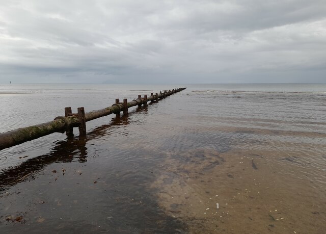
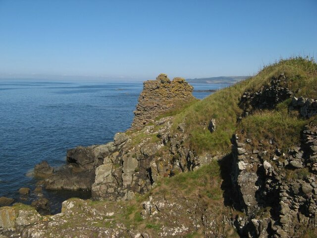
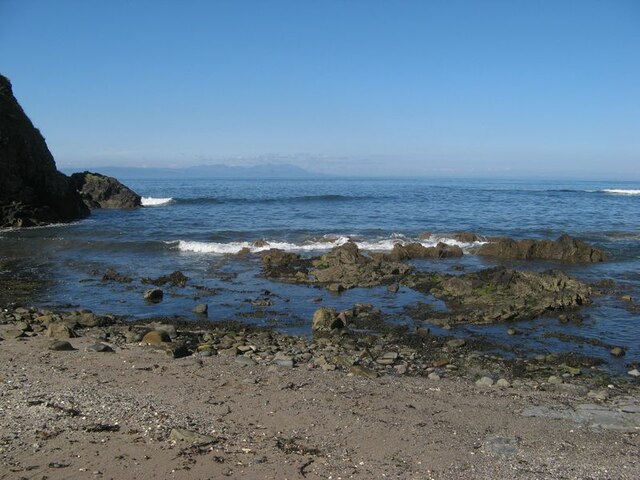
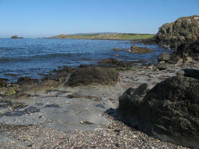
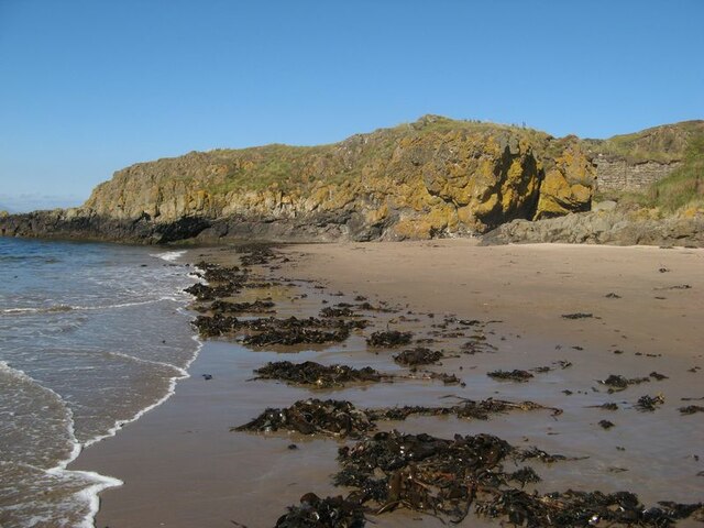
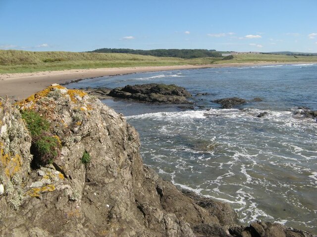
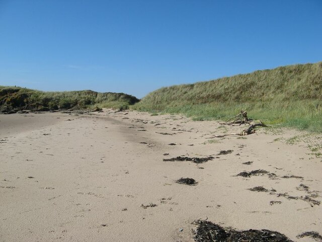
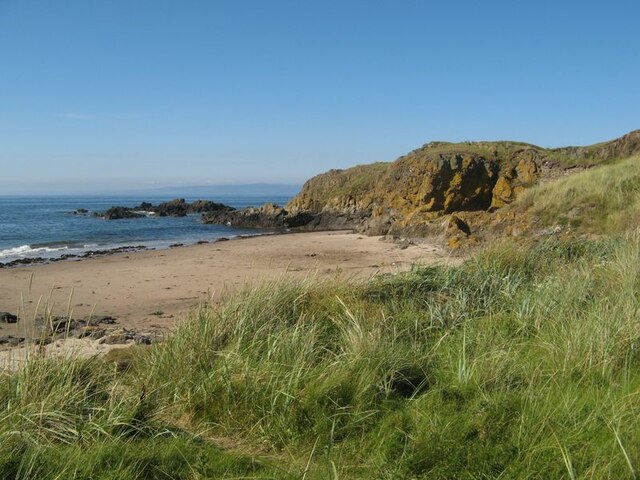
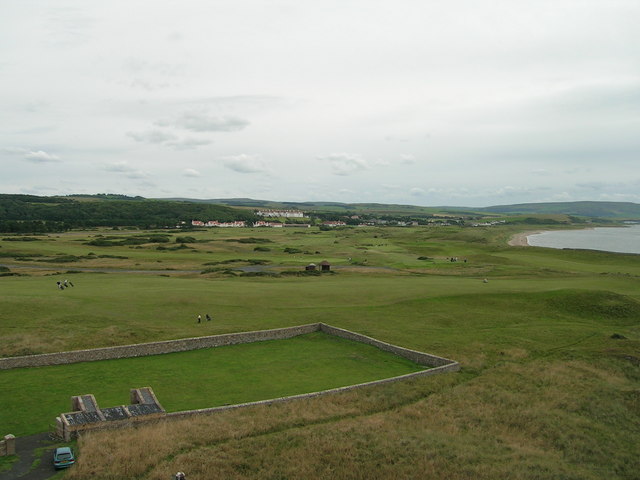
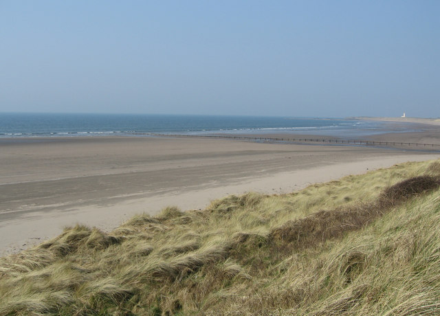
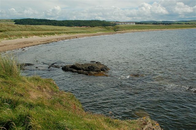
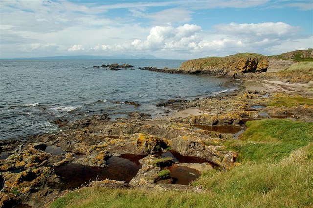
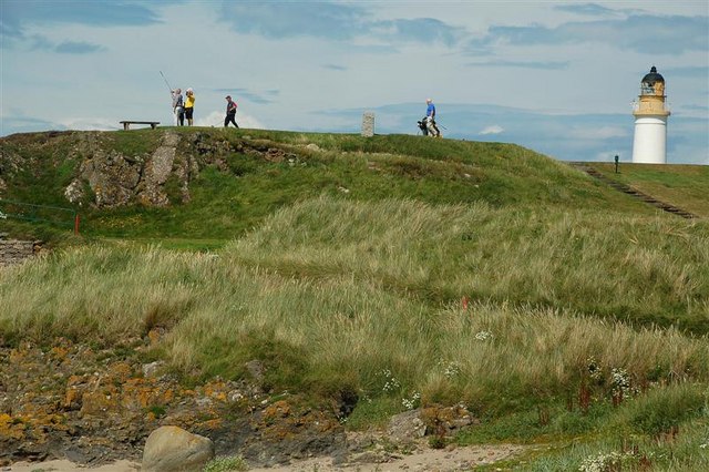
Tauchet Wood Images

Images are sourced within 2km of 55.317339/-4.8185116 or Grid Reference NS2106. Thanks to Geograph Open Source API. All images are credited.

Turnberry Lighthouse and castle ruins Viewed on a lovely late-January afternoon. Turnberry Castle, shown on both sides of the lighthouse, is the birth-place of Robert the Bruce.
Turnberry Lighthouse and castle ruins
Viewed on a lovely late-January afternoon. Turnberry Castle, shown on both sides of the lighthouse, is the birth-place of Robert the Bruce.
Turnberry Bay view The northern end of Turnberry Bay viewed with the tide well out on a lovely late-January afternoon.
Turnberry Bay view
The northern end of Turnberry Bay viewed with the tide well out on a lovely late-January afternoon.
Low tide at Turnberry Bay The tide reveals a large expanse of firm sand and wide empty spaces. The Ayrshire Coastal Path follows the shoreline here before crossing the golf course a little further north.
Low tide at Turnberry Bay
The tide reveals a large expanse of firm sand and wide empty spaces. The Ayrshire Coastal Path follows the shoreline here before crossing the golf course a little further north.
Old sewage outfall pipe, Turnberry Old sewage outfall pipe, Turnberry.
Old sewage outfall pipe, Turnberry
Old sewage outfall pipe, Turnberry.
Turnberry Castle headland The ruins of the castle situated upon a headland comprising two generations of basaltic rock - the Devonian Carrick Volcanic Formation, which is also intruded by a Palaeogene dyke. Altogether, this is a fine site for a defensive structure with good visibility from the sea, and for the subsequent lighthouse.
Turnberry Castle headland
The ruins of the castle situated upon a headland comprising two generations of basaltic rock - the Devonian Carrick Volcanic Formation, which is also intruded by a Palaeogene dyke. Altogether, this is a fine site for a defensive structure with good visibility from the sea, and for the subsequent lighthouse.
View from Castle Port Castle Port is a small inlet to the east of Turnberry Castle, which is situated on top of crags seen to rise from the sea at the left of the image. A fine view of Arran is seen on the distant horizon.
View from Castle Port
Castle Port is a small inlet to the east of Turnberry Castle, which is situated on top of crags seen to rise from the sea at the left of the image. A fine view of Arran is seen on the distant horizon.
View to Cross Ports The rocky summit of Turnberry Point drops to a gentle shore with the even grass of the golf course. In the distance the rocky shore starts again in the area called Cross Ports, which also has an offshore stack clearly seen in the image.
View to Cross Ports
The rocky summit of Turnberry Point drops to a gentle shore with the even grass of the golf course. In the distance the rocky shore starts again in the area called Cross Ports, which also has an offshore stack clearly seen in the image.
Turnberry Lighthouse Seen from the north side of Turnberry Point.
Turnberry Lighthouse
Seen from the north side of Turnberry Point.
Turnberry Point Turnberry Point seen across Lochan Port with a notable landing of kelp ripped up by recent rough weather.
Turnberry Point
Turnberry Point seen across Lochan Port with a notable landing of kelp ripped up by recent rough weather.
Turnberry Bay The wide sweep of the fine bay with its dunes which drop down to admit a small burn to drain through to the sea.
Turnberry Bay
The wide sweep of the fine bay with its dunes which drop down to admit a small burn to drain through to the sea.
Sand dunes A fine stretch of sand with cast-up trees and seaweed in front of the dunes.
Sand dunes
A fine stretch of sand with cast-up trees and seaweed in front of the dunes.
Turnberry Point Looking from the dunes over Lochan Port to the lichen-encrusted rocks of Turnberry Point.
Turnberry Point
Looking from the dunes over Lochan Port to the lichen-encrusted rocks of Turnberry Point.
Turnberry Golf Course Turnberry Hotel and the Championship 'Ailsa' golf course, one of the three courses at Turnberry. The walled area is part of the Lighthouse property.
Turnberry Golf Course
Turnberry Hotel and the Championship 'Ailsa' golf course, one of the three courses at Turnberry. The walled area is part of the Lighthouse property.
Turnberry  Golf Course, Lighthouse and Ailsa Craig Facing South West
Turnberry Golf Course, Lighthouse and Ailsa Craig
Facing South West
Turnberry Dunes Turnberry lighthouse in the distance. Milton Burn outflow in middle distance.
Turnberry Dunes
Turnberry lighthouse in the distance. Milton Burn outflow in middle distance.
Turnberry Bay Viewed from Turnberry Point, with Turnberry Hotel <a href="https://www.geograph.org.uk/gridref/NS2005">NS2005</a> in the background. For a winter view, see <a href="https://www.geograph.org.uk/photo/5273413">NS1906 : Turnberry Bay</a>
Turnberry Bay
Viewed from Turnberry Point, with Turnberry Hotel NS2005 in the background. For a winter view, see NS1906 : Turnberry Bay
From Turnberry Point Looking across the Firth of Clyde towards Arran.
From Turnberry Point
Looking across the Firth of Clyde towards Arran.
Turnberry golfers Viewed from Turnberry Point.  Turnberry Lighthouse <a href="https://www.geograph.org.uk/gridref/NS1907">NS1907</a> is in the background.
Turnberry golfers
Viewed from Turnberry Point. Turnberry Lighthouse NS1907 is in the background.
Show me another place!

Tauchet Wood is located at Grid Ref: NS2106 (Lat: 55.317339, Lng: -4.8185116)

Unitary Authority: South Ayrshire

Police Authority: Ayrshire

What 3 Words

///reclaim.rods.newsreel. Near Girvan, South Ayrshire

Related Wikis

Turnberry railway station

Turnberry railway station was a railway station serving the Turnberry Golf Course and its associated hotel, South Ayrshire, Scotland. The station was part...

Battle of Turnberry

The Battle of Turnberry was a battle fought in February 1307 during the Scottish Wars of Independence near Turnberry, Ayrshire, Scotland. King Robert I...

1986 Open Championship

The 1986 Open Championship was a men's major golf championship and the 115th Open Championship, held from 17 to 20 July at Turnberry Golf Resort, Scotland...

2002 Women's British Open

The 2002 Women's British Open was held 8–11 August at the Ailsa Course at Turnberry Golf Club in South Ayrshire, Scotland. It was the 26th edition of the...

Related Videos

Ayrshire Walking Trail - Culzean Castle Route - Ghosts and Presidents

This walking trail starts at the camping and carvanning club site but an alternative route can be taken from one of the numerous ...

Redgates Holiday Park Maidens revisited and Elddis Avante 550 update

Another wonderful weekend at Redgates in Maidens and an update on our Elddis Avante 550.

A lot of firsts at Maidens (Scotland)

The firsts: - long trip after the 2021 lockdown in Scotland - visiting Maidens. Lovely small town with lots of routes for hikes - long ...

Nearby Amenities

Located within 500m of 55.317339,-4.8185116
Parking
Lat/Long: 55.3144188/-4.8132676
Power: pole
Lat/Long: 55.3146115/-4.8236445
Power: pole
Lat/Long: 55.3150053/-4.8215604
Power: pole
Lat/Long: 55.3152434/-4.8201576
Power: pole
Lat/Long: 55.315451/-4.8191544
Power: pole
Lat/Long: 55.3156204/-4.8181272
Power: pole
Lat/Long: 55.3161012/-4.8171106
Power: pole
Lat/Long: 55.3165469/-4.8160994
Power: pole
Lat/Long: 55.3169834/-4.8151445
Power: pole
Lat/Long: 55.3174688/-4.8140663
Power: pole
Lat/Long: 55.3179175/-4.8130336
Power: pole
Lat/Long: 55.3183738/-4.812052
Power: pole
Lat/Long: 55.3130347/-4.8196936
Power: pole
Lat/Long: 55.3135049/-4.8203883
Power: pole
Lat/Long: 55.3140864/-4.8212439
Power: pole
Lat/Long: 55.3149091/-4.8213217
Power: pole
Lat/Long: 55.3156998/-4.8213592
Power: pole
Lat/Long: 55.3162477/-4.8213914
Power: pole
Lat/Long: 55.316785/-4.8214504
Power: pole
Lat/Long: 55.3173024/-4.8214853
Power: pole
Lat/Long: 55.3179877/-4.8215336
Power: pole
Lat/Long: 55.3185417/-4.8207665
Power: pole
Lat/Long: 55.3190804/-4.8199859
Power: pole
Lat/Long: 55.3196451/-4.8192
Power: pole
Lat/Long: 55.3202236/-4.8183927
Power: pole
Lat/Long: 55.3212094/-4.8169719
Power: pole
Lat/Long: 55.3194428/-4.8120415
Power: pole
Lat/Long: 55.3199264/-4.8128088
Power: pole
Lat/Long: 55.3205161/-4.8138216
Power: pole
Lat/Long: 55.3211017/-4.8147825
Power: pole
Lat/Long: 55.3207118/-4.8176891
The data included in this document is from www.openstreetmap.org. The data is made available under ODbL.

Have you been to Tauchet Wood?

Leave your review of Tauchet Wood below (or comments, questions and feedback).