Liglartrie Wood
Wood, Forest in Ayrshire
Scotland
Liglartrie Wood
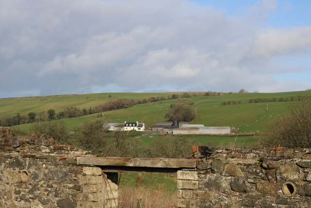
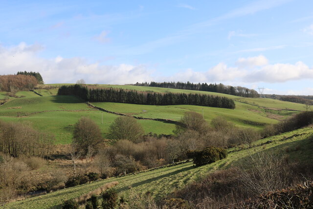
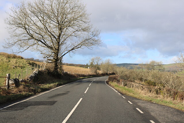
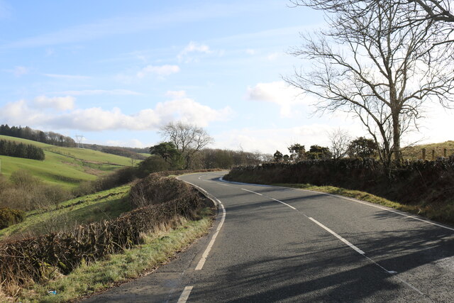
Liglartrie Wood is a picturesque woodland located in Ayrshire, Scotland. Covering an area of approximately 50 hectares, it is known for its diverse range of trees, wildlife, and tranquil atmosphere. The wood is situated near the town of Ayr, making it easily accessible to both locals and tourists.
The woodland is predominantly composed of native broadleaf trees, including oak, beech, ash, and birch. These trees create a dense canopy, providing shade and shelter for a variety of plant species that thrive beneath them. Bluebells, wood anemones, and wild garlic carpet the forest floor during the spring months, creating a stunning display of colors.
Liglartrie Wood is a haven for wildlife enthusiasts, as it is home to a wide range of animals. Visitors may spot red squirrels darting through the trees, while woodpeckers drumming on tree trunks can be heard in the distance. Roe deer are also frequently seen grazing in the grassy clearings within the woodland.
The wood offers several walking trails, allowing visitors to explore its beauty at their own pace. These paths wind through the trees, offering serene views of the surrounding countryside. Additionally, there are picnic areas and benches scattered throughout the wood, providing the perfect spot to rest and enjoy the peaceful surroundings.
Overall, Liglartrie Wood is a captivating destination for nature lovers and those seeking a peaceful retreat. Its rich biodiversity, stunning landscapes, and tranquil atmosphere make it a must-visit location in Ayrshire.
If you have any feedback on the listing, please let us know in the comments section below.
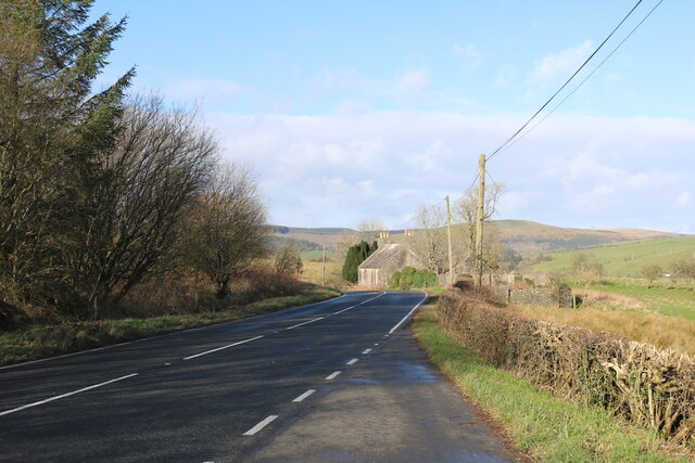
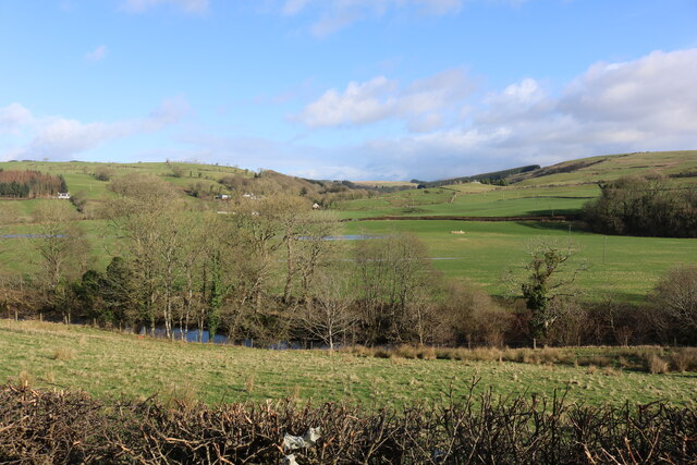
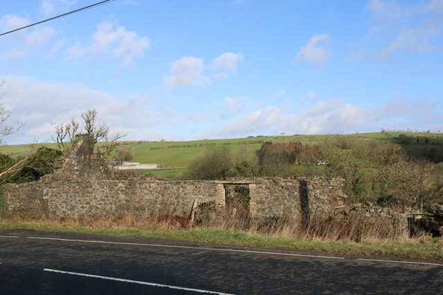
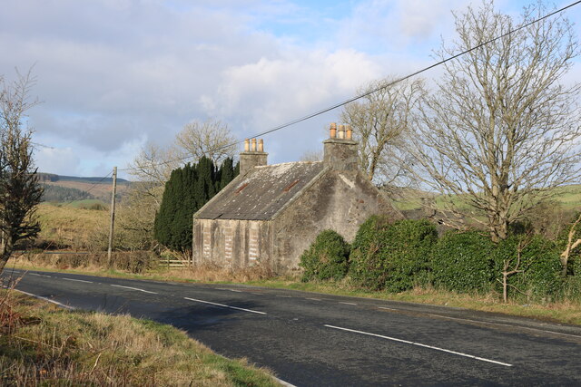
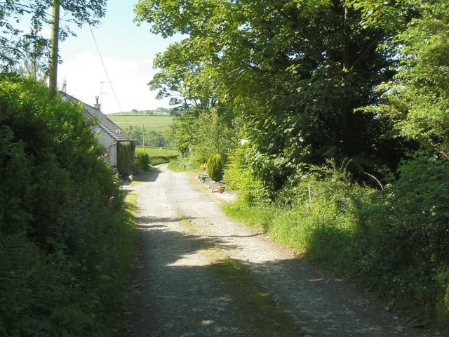
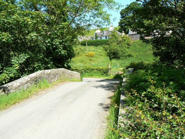
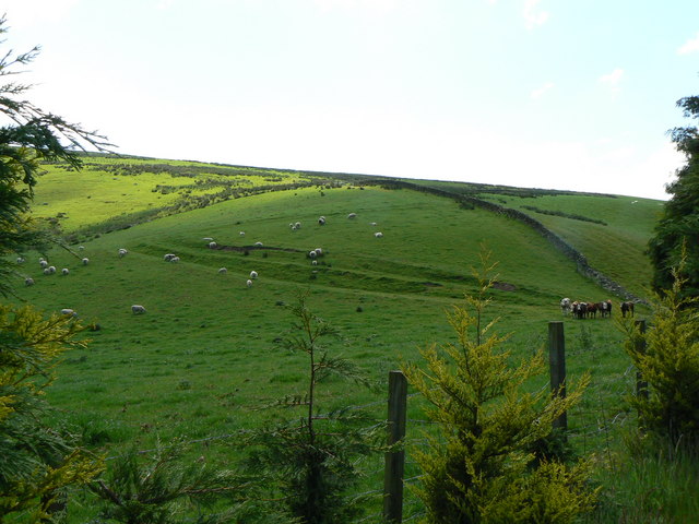
Liglartrie Wood Images
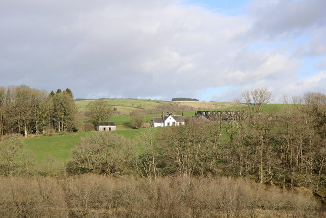
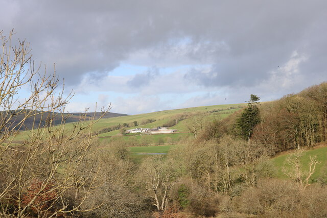
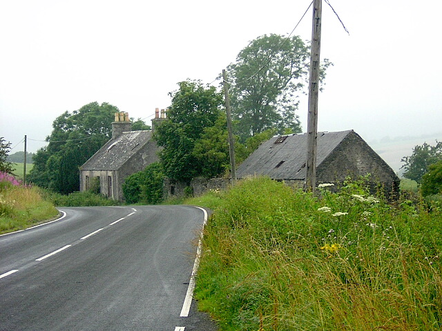
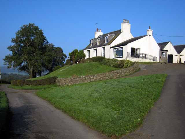
Images are sourced within 2km of 55.13811/-4.8062031 or Grid Reference NX2186. Thanks to Geograph Open Source API. All images are credited.


Liglartrie Wood is located at Grid Ref: NX2186 (Lat: 55.13811, Lng: -4.8062031)
Unitary Authority: South Ayrshire
Police Authority: Ayrshire
What 3 Words
///summaries.meatballs.hoops. Near Girvan, South Ayrshire
Nearby Locations
Related Wikis

Pinwherry
Pinwherry is a hamlet in the civil parish of Colmonell, in the council area of South Ayrshire, Scotland. It is 8 miles south of Girvan. In 1961 it had...

Pinwherry railway station
Pinwherry railway station served the village of Pinwherry, South Ayrshire, Scotland from 1887 to 1965 on the Girvan and Portpatrick Junction Railway....

Barrhill, South Ayrshire
Barrhill (Scots: Baurhill) is a village in South Ayrshire, Scotland with a population of approximately 400 in 2001.While the surrounding area is predominantly...

Barrhill railway station
Barrhill railway station is a railway station serving the village of Barrhill, South Ayrshire, Scotland. The station is managed by ScotRail and is on the...
Nearby Amenities
Located within 500m of 55.13811,-4.8062031Have you been to Liglartrie Wood?
Leave your review of Liglartrie Wood below (or comments, questions and feedback).