Haylie Brae
Wood, Forest in Ayrshire
Scotland
Haylie Brae
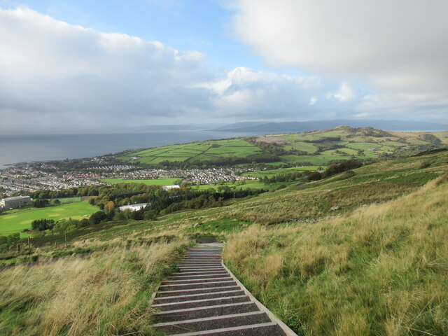
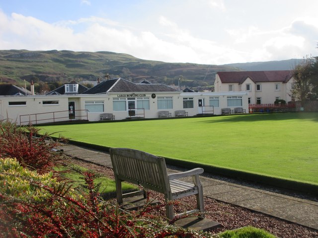
Haylie Brae is a picturesque area located in Ayrshire, Scotland. Situated on the outskirts of the town of Kilbirnie, this wood and forest area spans approximately 200 acres. It is renowned for its natural beauty and is a popular destination for nature enthusiasts and hikers.
The landscape of Haylie Brae is characterized by rolling hills, dense woodland, and charming meadows. The wood is predominantly made up of native Scottish tree species, including oak, birch, and rowan. These trees provide a habitat for a variety of wildlife, making it a haven for birdwatchers and nature photographers.
There are several walking trails that crisscross through Haylie Brae, offering visitors the opportunity to explore the area at their own pace. These well-maintained paths provide stunning views of the surrounding countryside and lead to hidden gems such as tranquil ponds and secluded picnic spots.
In addition to its natural beauty, Haylie Brae has a rich history. Ruins of a medieval castle, once home to the Earls of Glencairn, can still be found within the woods, adding an air of mystery and intrigue to the area. The castle ruins serve as a reminder of the region's past and attract history enthusiasts.
Overall, Haylie Brae in Ayrshire is a beautiful wood and forest area that offers a tranquil escape from the bustling modern world. Its stunning landscapes, diverse wildlife, and historical remnants make it an ideal destination for those seeking a peaceful and immersive nature experience.
If you have any feedback on the listing, please let us know in the comments section below.
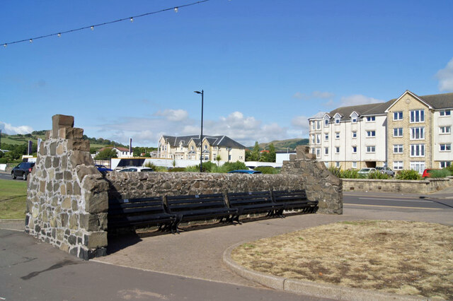
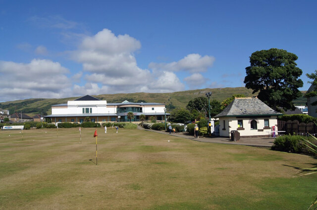
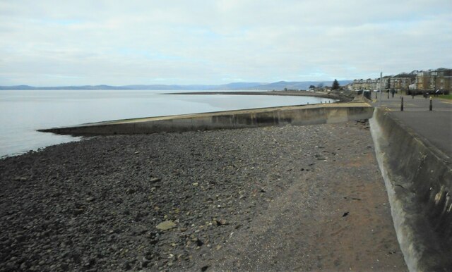
Haylie Brae Images
Images are sourced within 2km of 55.786346/-4.8546509 or Grid Reference NS2158. Thanks to Geograph Open Source API. All images are credited.
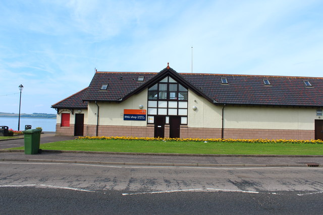
![Lifeboat Station, Largs A slipway [[[7424263]] is just to the left, out of view.](https://s1.geograph.org.uk/geophotos/07/42/42/7424249_bcb3587d.jpg)


Haylie Brae is located at Grid Ref: NS2158 (Lat: 55.786346, Lng: -4.8546509)
Unitary Authority: North Ayrshire
Police Authority: Ayrshire
What 3 Words
///ribcage.battling.remotes. Near Largs, North Ayrshire
Nearby Locations
Related Wikis
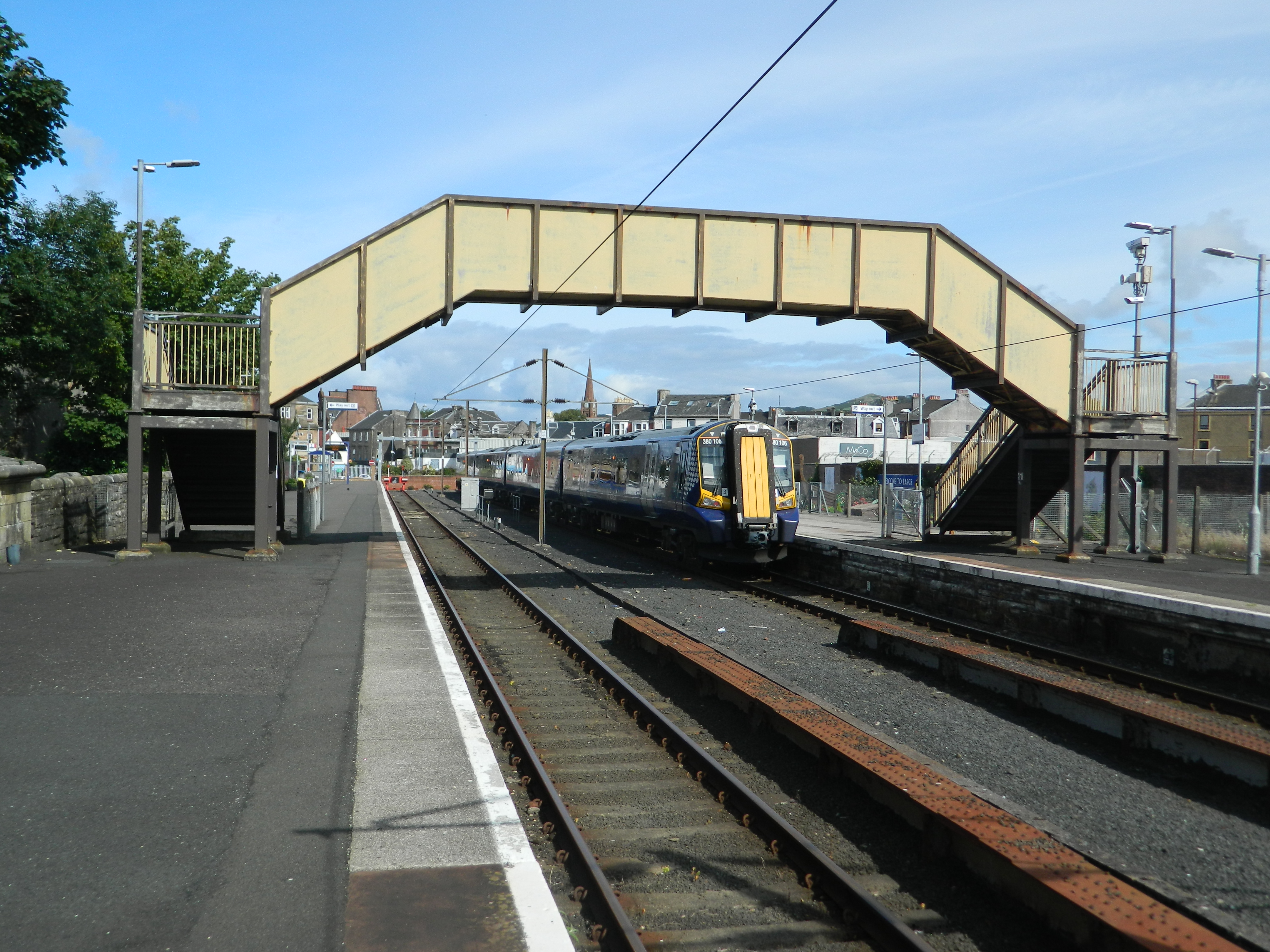
Largs railway station
Largs railway station is a railway station in the town of Largs, North Ayrshire, Scotland. The station is managed by ScotRail and is owned by Network Rail...

Battle of Largs
The Battle of Largs (2 October 1263) was a battle between the kingdoms of Norway and Scotland, on the Firth of Clyde near Largs, Scotland. The conflict...

Clark Memorial Church
The Clark Memorial Church is an active place of worship for the Church of Scotland in Largs, North Ayrshire, Scotland. It was designed by William Kerr...
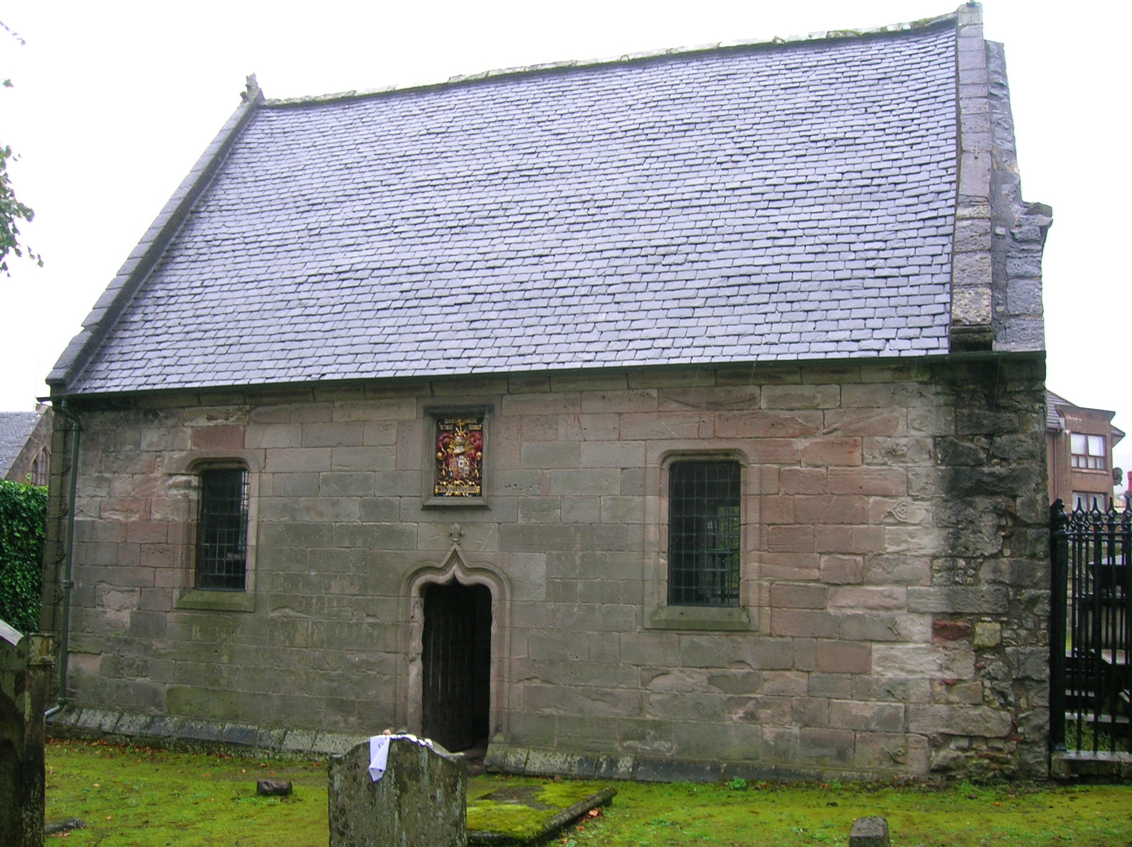
Skelmorlie Aisle
The Skelmorlie Aisle of Largs Old Kirk is the remains of a church in the town of Largs, Ayrshire, Scotland. == History == The majority of the kirk (church...
Nearby Amenities
Located within 500m of 55.786346,-4.8546509Have you been to Haylie Brae?
Leave your review of Haylie Brae below (or comments, questions and feedback).