Haylie Reservoir
Lake, Pool, Pond, Freshwater Marsh in Ayrshire
Scotland
Haylie Reservoir
Haylie Reservoir, located in Ayrshire, Scotland, is a freshwater reservoir that serves multiple purposes for the surrounding community. It is classified as a man-made lake and covers an area of approximately 100 acres. The reservoir was constructed in the mid-19th century to supply water to the local towns and villages, and it continues to serve as a vital water resource to this day.
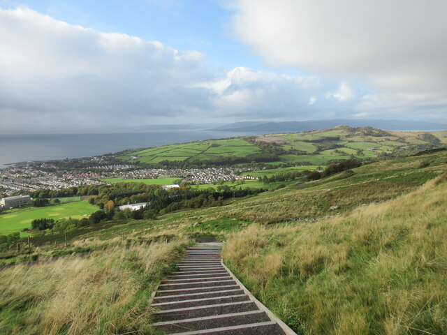
Haylie Reservoir is surrounded by picturesque landscapes, featuring rolling hills and lush greenery. The reservoir itself is relatively shallow, with an average depth of around 10 feet. It is fed by several small streams and springs, ensuring a constant flow of freshwater. The water quality is excellent, making it suitable for various recreational activities such as fishing and boating.
The reservoir is home to a diverse range of aquatic wildlife, including various species of fish, such as brown trout and perch. Anglers frequently visit Haylie Reservoir to enjoy fishing in its well-stocked waters. Additionally, the surrounding marshland provides a habitat for numerous bird species, making it a popular spot for birdwatching enthusiasts.
The reservoir is easily accessible, with well-maintained paths and trails for walkers and cyclists. It is a tranquil and peaceful location, attracting visitors who seek solitude and a connection with nature. The surrounding area offers ample parking facilities and picnic spots, making it an ideal destination for day trips and family outings.
Overall, Haylie Reservoir in Ayrshire is a valuable water resource that not only provides for the local community but also offers recreational opportunities and serves as a haven for wildlife.
If you have any feedback on the listing, please let us know in the comments section below.
Haylie Reservoir Images
Images are sourced within 2km of 55.783401/-4.8455822 or Grid Reference NS2158. Thanks to Geograph Open Source API. All images are credited.


Haylie Reservoir is located at Grid Ref: NS2158 (Lat: 55.783401, Lng: -4.8455822)
Unitary Authority: North Ayrshire
Police Authority: Ayrshire
What 3 Words
///optimally.loves.crackling. Near Largs, North Ayrshire
Nearby Locations
Related Wikis

Kelburn Castle
Kelburn Castle is a large house near Fairlie, North Ayrshire, Scotland. It is the seat of the Earl of Glasgow. Originally built in the thirteenth century...
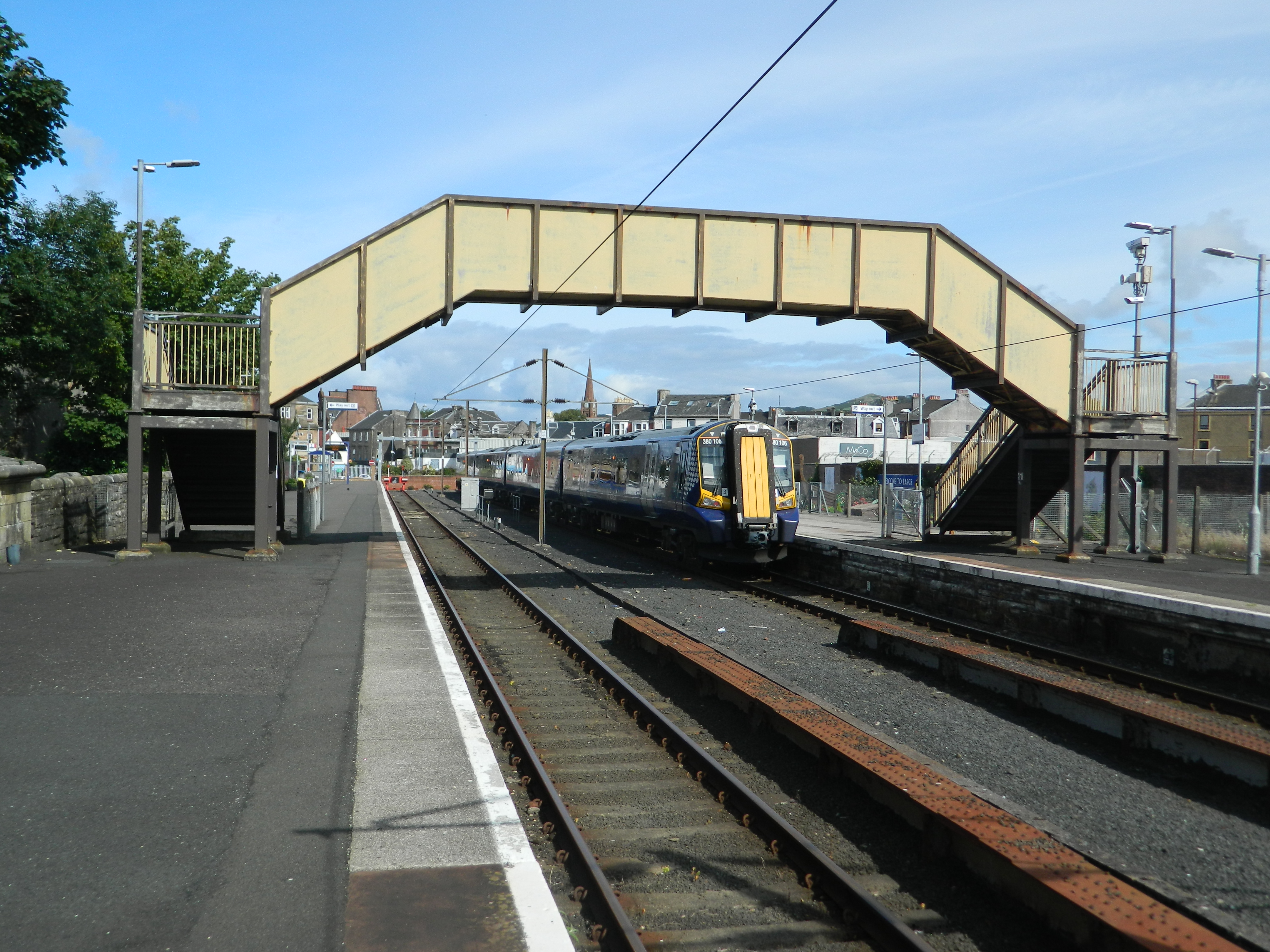
Largs railway station
Largs railway station is a railway station in the town of Largs, North Ayrshire, Scotland. The station is managed by ScotRail and is owned by Network Rail...

Battle of Largs
The Battle of Largs (2 October 1263) was a battle between the kingdoms of Norway and Scotland, on the Firth of Clyde near Largs, Scotland. The conflict...

Clark Memorial Church
The Clark Memorial Church is an active place of worship for the Church of Scotland in Largs, North Ayrshire, Scotland. It was designed by William Kerr...
Nearby Amenities
Located within 500m of 55.783401,-4.8455822Have you been to Haylie Reservoir?
Leave your review of Haylie Reservoir below (or comments, questions and feedback).