Douglas Park
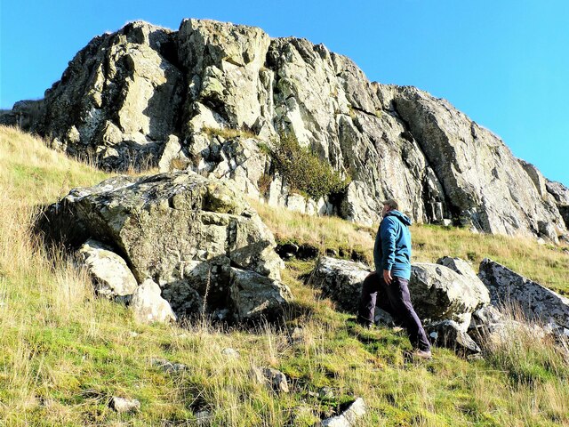
Downs, Moorland in Ayrshire
Scotland
Douglas Park
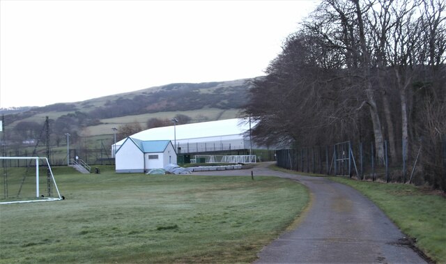
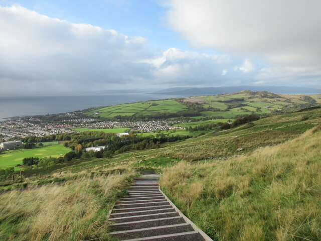
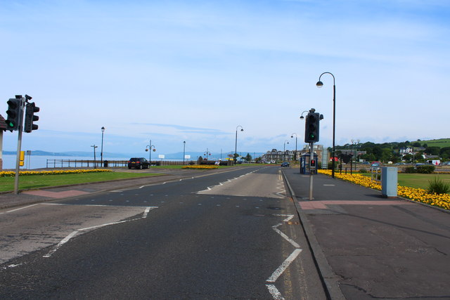
Douglas Park is a picturesque area located in Ayrshire, Scotland. Situated amidst the stunning countryside, this park spans over a vast expanse of downs and moorland, offering visitors a unique and tranquil experience. With its diverse landscape, the park provides a haven for nature enthusiasts and outdoor lovers alike.
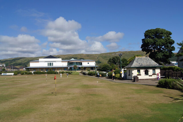
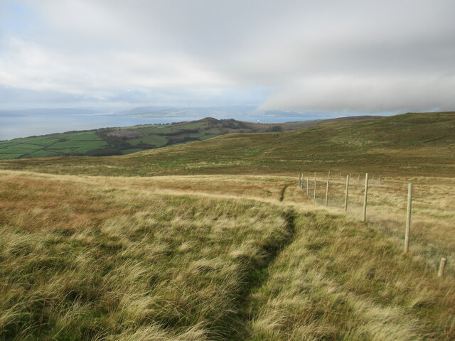
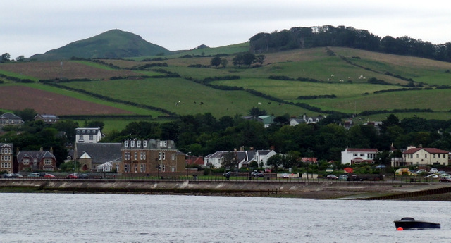
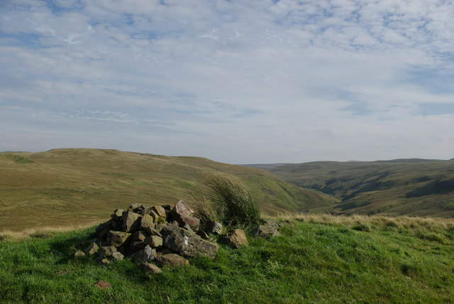
The downs of Douglas Park are characterized by gently rolling hills and grassy slopes, making it an ideal spot for leisurely walks and picnics. Visitors can enjoy breathtaking views of the surrounding countryside while taking in the fresh air and serenity of the area. The downs also offer ample opportunities for birdwatching, with various species of birds frequently spotted in the park.
Adjacent to the downs, the moorland of Douglas Park adds to the park's natural beauty. Covered in heather and wildflowers, the moorland creates a vibrant and colorful landscape. It is also home to a wide variety of wildlife, including deer, rabbits, and various bird species. Nature enthusiasts will revel in the chance to observe and appreciate the rich biodiversity of this area.
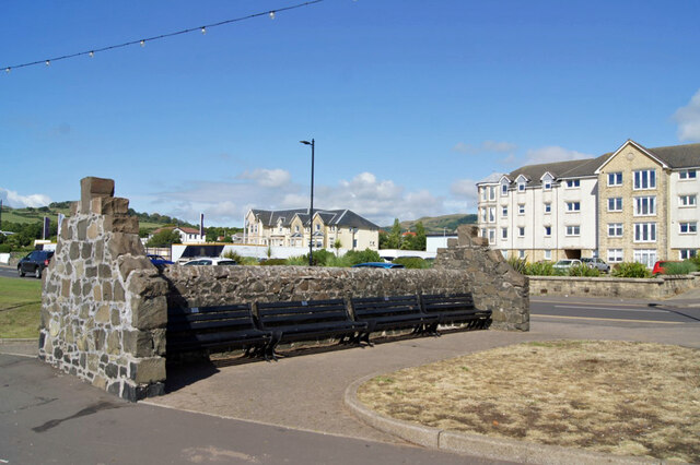
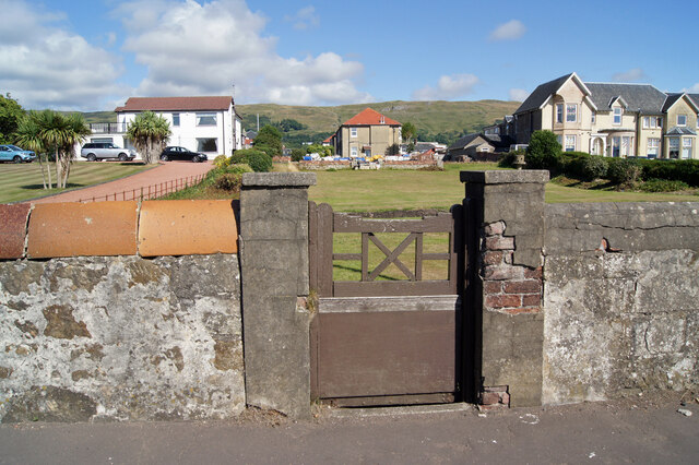
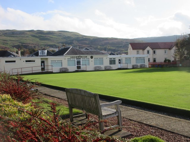
In addition to its natural wonders, Douglas Park offers amenities and facilities to enhance visitors' experiences. There are well-maintained walking trails, picnic areas, and information boards that provide insights into the park's flora and fauna. The park is also equipped with parking facilities and toilets for the convenience of its visitors.
Overall, Douglas Park is a must-visit destination for those seeking a peaceful retreat in the heart of Ayrshire. Its downs and moorland provide a stunning backdrop for outdoor activities and offer a glimpse into the region's natural beauty.
If you have any feedback on the listing, please let us know in the comments section below.
Douglas Park Images
Images are sourced within 2km of 55.787819/-4.8515999 or Grid Reference NS2158. Thanks to Geograph Open Source API. All images are credited.
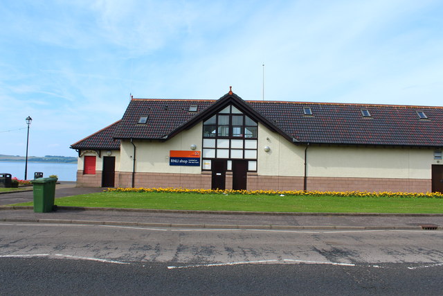
![Lifeboat Station, Largs A slipway [[[7424263]] is just to the left, out of view.](https://s1.geograph.org.uk/geophotos/07/42/42/7424249_bcb3587d.jpg)
Douglas Park is located at Grid Ref: NS2158 (Lat: 55.787819, Lng: -4.8515999)
Unitary Authority: North Ayrshire
Police Authority: Ayrshire
What 3 Words
///facelift.jotting.nest. Near Largs, North Ayrshire
Nearby Locations
Related Wikis
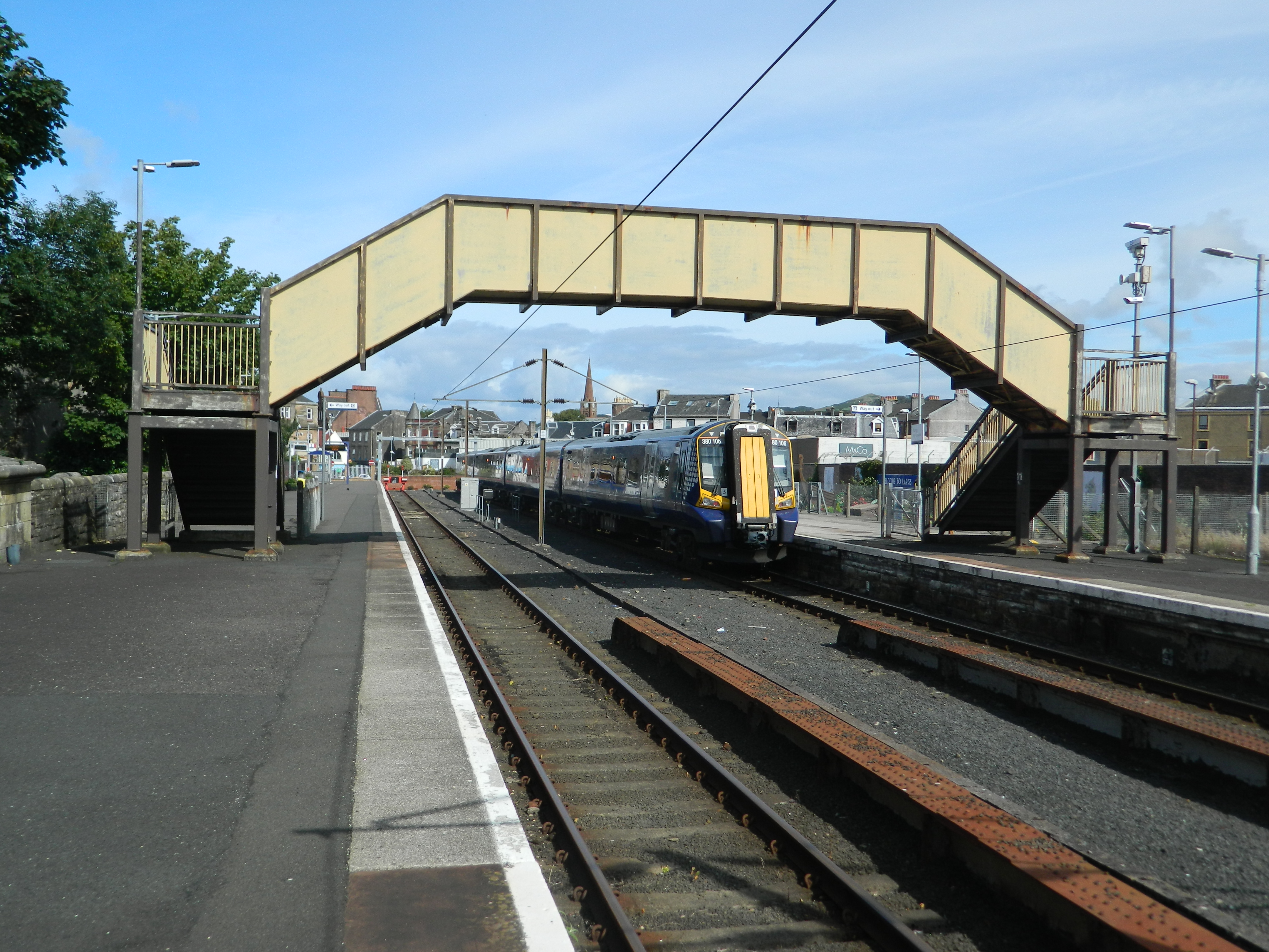
Largs railway station
Largs railway station is a railway station in the town of Largs, North Ayrshire, Scotland. The station is managed by ScotRail and is owned by Network Rail...

Battle of Largs
The Battle of Largs (2 October 1263) was a battle between the kingdoms of Norway and Scotland, on the Firth of Clyde near Largs, Scotland. The conflict...
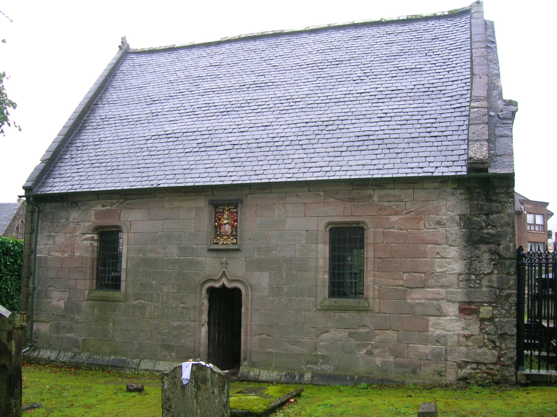
Skelmorlie Aisle
The Skelmorlie Aisle of Largs Old Kirk is the remains of a church in the town of Largs, Ayrshire, Scotland. == History == The majority of the kirk (church...

Clark Memorial Church
The Clark Memorial Church is an active place of worship for the Church of Scotland in Largs, North Ayrshire, Scotland. It was designed by William Kerr...
Nearby Amenities
Located within 500m of 55.787819,-4.8515999Have you been to Douglas Park?
Leave your review of Douglas Park below (or comments, questions and feedback).