Lowlands Down
Downs, Moorland in Cornwall
England
Lowlands Down
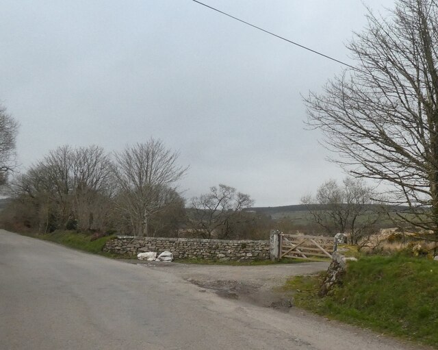
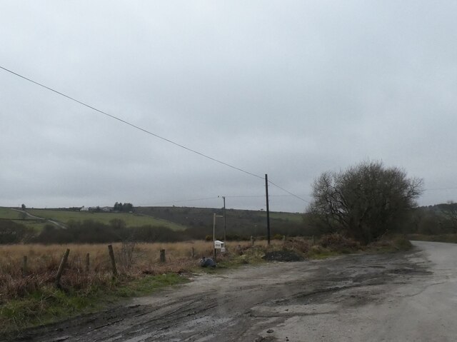
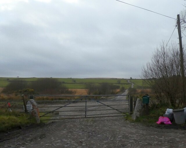
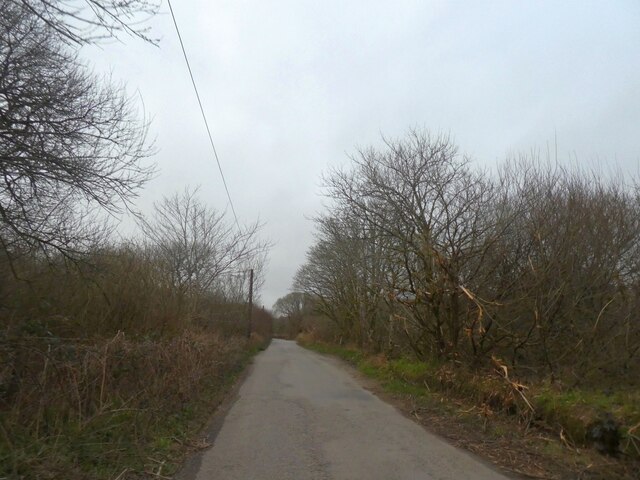
Lowlands Down, located in Cornwall, is a picturesque area known for its stunning downs and moorland landscapes. Situated in the southwestern part of England, this region offers a diverse range of natural features and is a popular destination for nature enthusiasts and hikers.
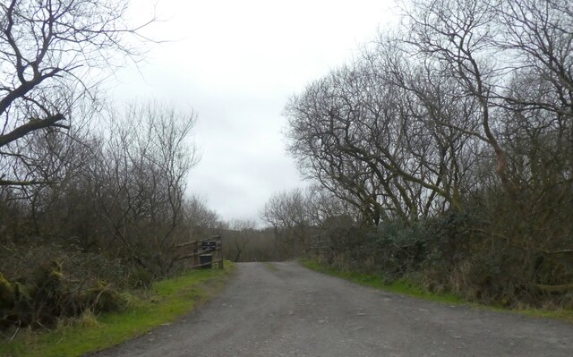
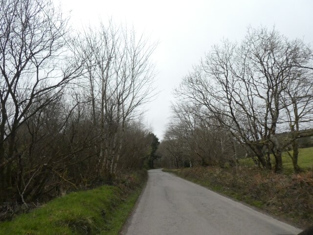
The downs of Lowlands Down are characterized by rolling hills and expansive grasslands, providing breathtaking panoramic views of the surrounding countryside. These downs are often covered in vibrant wildflowers during the spring and summer months, adding an extra touch of color to the already stunning scenery. The relatively flat terrain of the downs makes them ideal for leisurely walks and picnics.
In contrast, the moorland of Lowlands Down offers a more rugged and untamed environment. Here, visitors can explore vast expanses of heather-covered hills, rocky outcrops, and peat bogs. The moorland is home to a variety of wildlife, including rare bird species, such as the Cornish chough, and native mammals like the Dartmoor pony.
Lowlands Down is also home to several ancient archaeological sites, including stone circles and burial mounds, which offer a glimpse into the region's rich history. Additionally, the area is dotted with quaint villages and charming country pubs, providing opportunities for visitors to immerse themselves in the local culture and enjoy traditional Cornish cuisine.
Overall, Lowlands Down, Cornwall, is a must-visit destination for those seeking natural beauty, tranquility, and a chance to explore a diverse range of landscapes. Whether you are a passionate hiker, a wildlife enthusiast, or simply looking for a peaceful retreat, Lowlands Down has something to offer everyone.
If you have any feedback on the listing, please let us know in the comments section below.
Lowlands Down Images
Images are sourced within 2km of 50.544313/-4.5243796 or Grid Reference SX2174. Thanks to Geograph Open Source API. All images are credited.


Lowlands Down is located at Grid Ref: SX2174 (Lat: 50.544313, Lng: -4.5243796)
Unitary Authority: Cornwall
Police Authority: Devon and Cornwall
What 3 Words
///suffix.decorate.complies. Near North Hill, Cornwall
Nearby Locations
Related Wikis

Goodaver stone circle
Goodaver, Goodaver stone circle or Goodaver circle (grid reference SX20857515) is a stone circle located in the parish of Altarnun, near Bolventor on Bodmin...
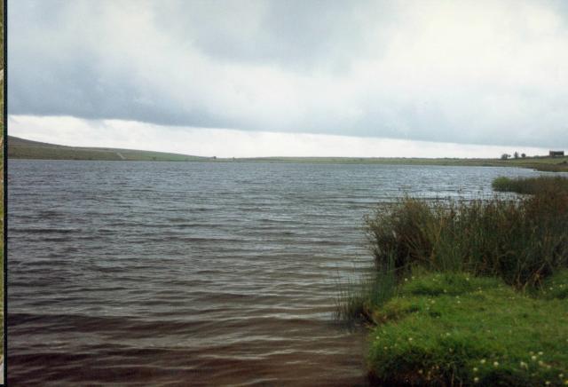
Dozmary Pool
Dozmary Pool is a small lake, in the civil parish of Altarnun on Bodmin Moor, Cornwall, UK. It is situated 16.9 kilometres (10.5 mi) from the sea and lies...

Brown Gelly
Brown Gelly (Cornish: Bronn Geliow) is a tor, hill and ridge near Dozmary Pool on Bodmin Moor near Liskeard in Cornwall, UK. At its foot lies Browngelly...
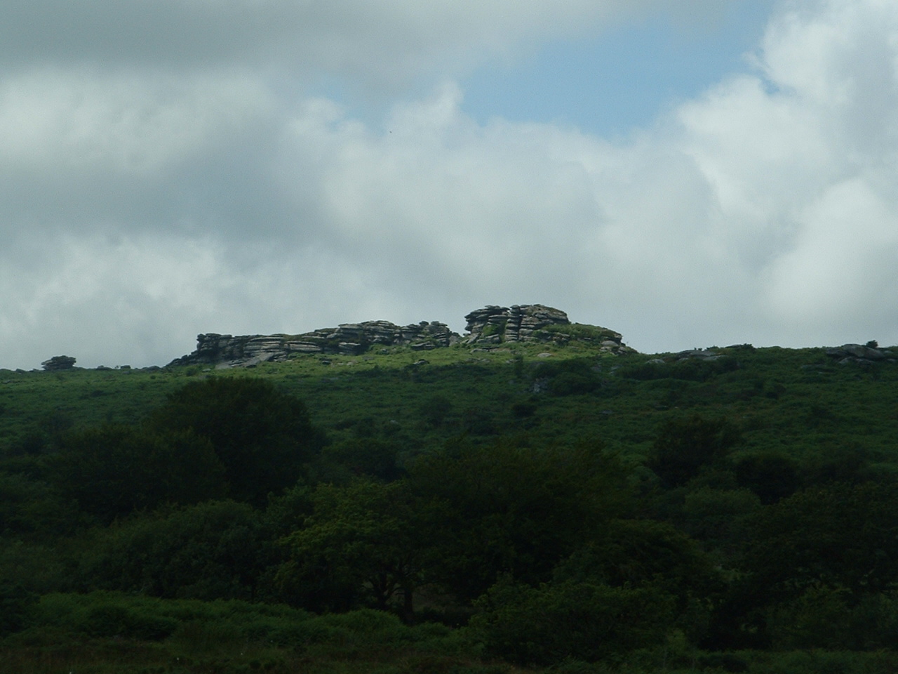
Hawk's Tor, North Hill
Hawk's Tor is an elongated hill, 329 metres (1,079 ft) high and running from WSW to ENE, on Bodmin Moor in the county of Cornwall, England, UK. It stands...
Have you been to Lowlands Down?
Leave your review of Lowlands Down below (or comments, questions and feedback).