Upper Glenburnie Wood

Wood, Forest in Ayrshire

Scotland

Upper Glenburnie Wood

River Stinchar Near Pinmore Bridge
River Stinchar Near Pinmore Bridge Credit: Iain Thompson

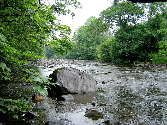
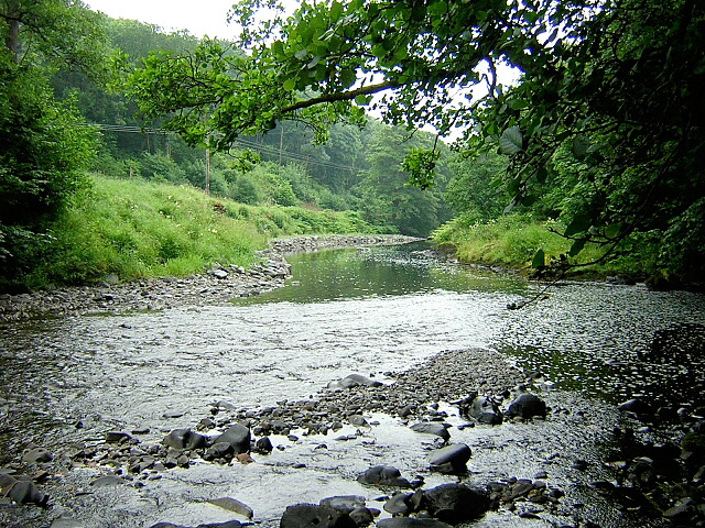
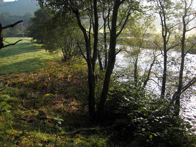
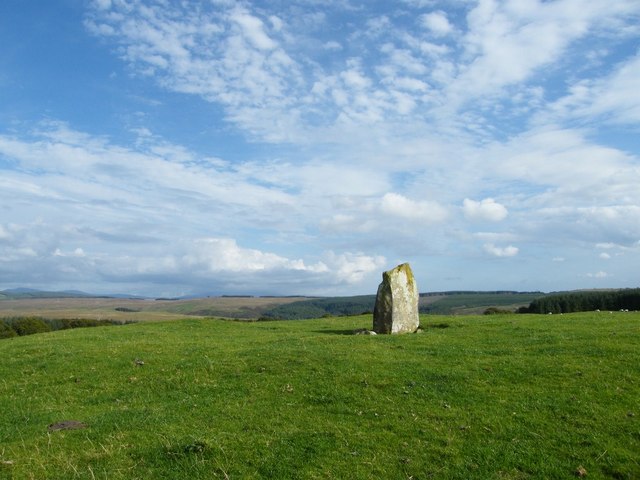
Upper Glenburnie Wood is a picturesque woodland located in Ayrshire, Scotland. Covering an area of approximately 100 acres, it is a haven for nature enthusiasts and offers a serene escape from the hustle and bustle of urban life.

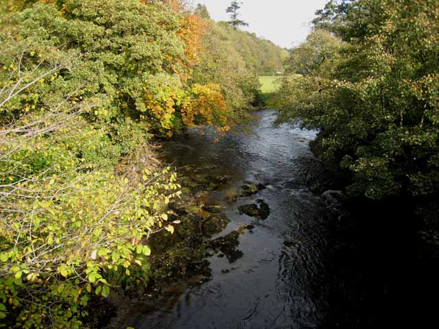
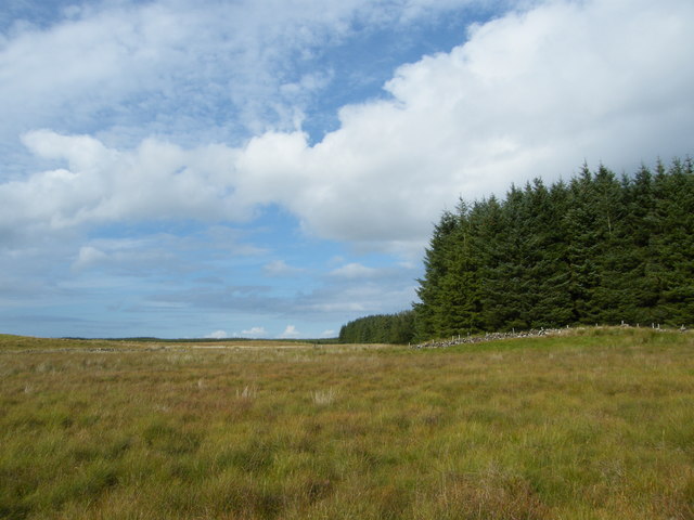
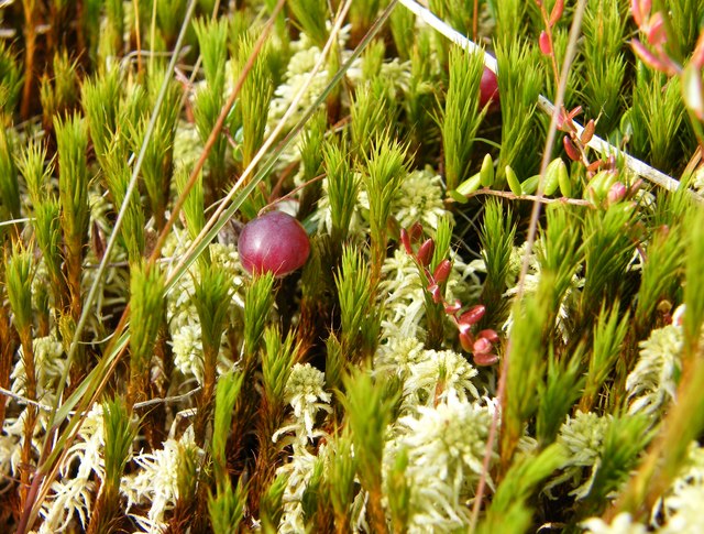
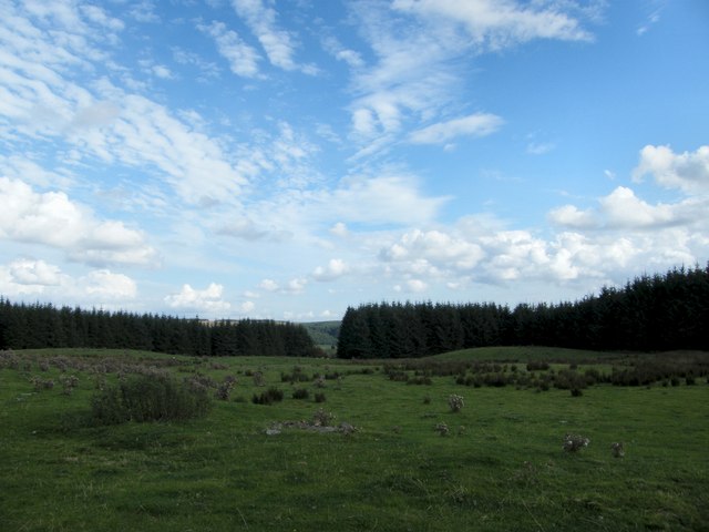
The wood is primarily composed of native broadleaf trees such as oak, beech, and birch, which create a dense canopy overhead and provide shelter and food for various species of birds and woodland creatures. The forest floor is adorned with a rich carpet of mosses, ferns, and wildflowers, adding to the beauty and tranquility of the surroundings.

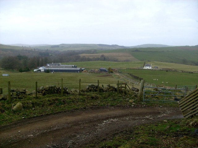
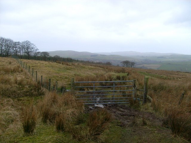
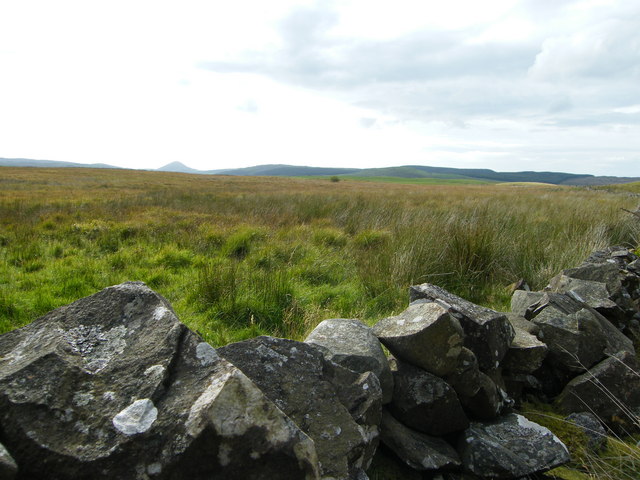
Traversing through Upper Glenburnie Wood, visitors can explore a network of well-maintained trails, offering opportunities for leisurely walks, hiking, and wildlife spotting. The paths wind through the undulating terrain, revealing hidden glens, babbling brooks, and charming clearings.

The wood is home to a diverse range of wildlife, including red squirrels, badgers, foxes, and a variety of bird species such as woodpeckers, owls, and songbirds. Nature enthusiasts can often spot these creatures going about their daily activities, making it a haven for wildlife photography and observation.

Upper Glenburnie Wood is a popular destination for families, nature lovers, and outdoor enthusiasts. It offers fantastic opportunities for picnics, nature walks, and educational experiences. The wood is well-maintained by local conservation groups, ensuring the preservation of its natural beauty and the protection of its delicate ecosystem.

Overall, Upper Glenburnie Wood is a serene and enchanting woodland, providing a tranquil escape into nature and a chance to appreciate the beauty of Scotland's natural landscapes.

If you have any feedback on the listing, please let us know in the comments section below.

Upper Glenburnie Wood Images

Images are sourced within 2km of 55.168413/-4.8105158 or Grid Reference NX2189. Thanks to Geograph Open Source API. All images are credited.

River Stinchar Near Pinmore Bridge
By the banks of the River Stinchar, between Pinmore and Pinwherry
Viaduct at Holmhead, Pinmore On the Girvan to Stranraer railway. Seen from the A714 Girvan to Newton Stewart road.
Viaduct at Holmhead, Pinmore
On the Girvan to Stranraer railway. Seen from the A714 Girvan to Newton Stewart road.
River Stinchar from Pinmore Bridge
Thome Hill trig pillar, S8053 A very bleak and boggy location. The pillar was completed on 15th July 1954 costing £19.11s.6d.
Thome Hill trig pillar, S8053
A very bleak and boggy location. The pillar was completed on 15th July 1954 costing £19.11s.6d.
Pinmore Mains track
Pinmore Mains track
Gate above Pinmore Mains
Thome Hill monument Just NNE of trig, as shown on 1:25,000 map. No inscription other than a date, which appears to be 1960.
Thome Hill monument
Just NNE of trig, as shown on 1:25,000 map. No inscription other than a date, which appears to be 1960.
Thome Hill pasture Name taken from nearby trig pillar.
Thome Hill pasture
Name taken from nearby trig pillar.
Moorland and conifers at top of Little Pinmore hill The wall to the right runs back towards the point above the Stinchar Valley where the Glake Stane stands, a cup marked standing stone, possibly dating back to 2000 BC.
Moorland and conifers at top of Little Pinmore hill
The wall to the right runs back towards the point above the Stinchar Valley where the Glake Stane stands, a cup marked standing stone, possibly dating back to 2000 BC.
Wall and moorland above the Stinchar Valley View from the top of Little Pinmore hill, looking south west towards the Stinchar Valley, with Knockdolian Hill in the distance.
Wall and moorland above the Stinchar Valley
View from the top of Little Pinmore hill, looking south west towards the Stinchar Valley, with Knockdolian Hill in the distance.
Mosses and cranberries There are some good areas for mosses here, but cranberry is not particularly common.
Mosses and cranberries
There are some good areas for mosses here, but cranberry is not particularly common.
Rough pasture and conifers above Glake Although the online map shows the area as solid conifer cover, there is in fact this roughly rectangular open field, almost hidden within the trees, as shown on Google photographs.
Rough pasture and conifers above Glake
Although the online map shows the area as solid conifer cover, there is in fact this roughly rectangular open field, almost hidden within the trees, as shown on Google photographs.
The Glake Stane The Glake Stane is a cup marked standing stone, possibly dating back to 2000BC, in a very prominent position looking west down the Stinchar valley to the Hill of Knockdolian and the sea. The old march walls of several farms in the valley almost converge at the stone. This view of the Glake Stane is looking east towards the Galloway hills in the distance.
The Glake Stane
The Glake Stane is a cup marked standing stone, possibly dating back to 2000BC, in a very prominent position looking west down the Stinchar valley to the Hill of Knockdolian and the sea. The old march walls of several farms in the valley almost converge at the stone. This view of the Glake Stane is looking east towards the Galloway hills in the distance.
Where the march walls meet At a height of about 190m there are really good views all around. The Galloway hills can be seen in the distance, through the beech trees.
Where the march walls meet
At a height of about 190m there are really good views all around. The Galloway hills can be seen in the distance, through the beech trees.
Stinchar Valley Track A farm track at Pinmore Mains, viewed in late October with lovely autumn colours showing.
Stinchar Valley Track
A farm track at Pinmore Mains, viewed in late October with lovely autumn colours showing.
Entering High Glenbirnie Forest This track leaves Upper Glenburnie Wood and, according to the sign on the gate, enters High Glenbirnie Forest, which is shown on the Landranger Map but not the Explorer Map. The forest is on the right-hand side of this shot with the colourful beech trees giving some shelter to the fields.
Entering High Glenbirnie Forest
This track leaves Upper Glenburnie Wood and, according to the sign on the gate, enters High Glenbirnie Forest, which is shown on the Landranger Map but not the Explorer Map. The forest is on the right-hand side of this shot with the colourful beech trees giving some shelter to the fields.
Show me another place!

Upper Glenburnie Wood is located at Grid Ref: NX2189 (Lat: 55.168413, Lng: -4.8105158)

Unitary Authority: South Ayrshire

Police Authority: Ayrshire

What 3 Words

///factory.workbench.most. Near Girvan, South Ayrshire

Related Wikis

Pinmore railway station

Pinmore railway station served the hamlet of Pinmore, South Ayrshire, Scotland from 1877 to 1965 on the Girvan and Portpatrick Junction Railway. ��2�...

Pinwherry railway station

Pinwherry railway station served the village of Pinwherry, South Ayrshire, Scotland from 1887 to 1965 on the Girvan and Portpatrick Junction Railway....

Pinwherry

Pinwherry is a hamlet in the civil parish of Colmonell, in the council area of South Ayrshire, Scotland. It is 8 miles south of Girvan. In 1961 it had...

Ardmillan Castle

Ardmillan Castle is a ruinous Scottish castle dating from the late 16th century. It lies on the A77 on the edge of the Firth of Clyde south of Girvan....

Nearby Amenities

Located within 500m of 55.168413,-4.8105158
Power: pole
Lat/Long: 55.1724682/-4.8130578
Power: pole
Lat/Long: 55.1716839/-4.8133099
Power: pole
Lat/Long: 55.1709915/-4.8135084
Power: pole
Lat/Long: 55.170296/-4.8137337
Power: pole
Lat/Long: 55.1696311/-4.8139161
Power: pole
Lat/Long: 55.1690766/-4.8140663
Power: pole
Lat/Long: 55.1684301/-4.8146135
Power: pole
Lat/Long: 55.1677008/-4.8152411
Power: pole
Lat/Long: 55.167016/-4.8158205
Power: pole
Lat/Long: 55.1662929/-4.8164374
Power: pole
Lat/Long: 55.1727667/-4.8110272
Power: pole
Lat/Long: 55.1726579/-4.8109285
Power: pole
Lat/Long: 55.1723302/-4.8107168
The data included in this document is from www.openstreetmap.org. The data is made available under ODbL.

Have you been to Upper Glenburnie Wood?

Leave your review of Upper Glenburnie Wood below (or comments, questions and feedback).