Laggansarroch Plantation

Wood, Forest in Ayrshire

Scotland

Laggansarroch Plantation

River Stinchar Near Pinmore Bridge
River Stinchar Near Pinmore Bridge Credit: Iain Thompson

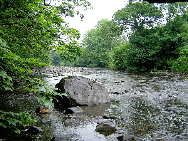
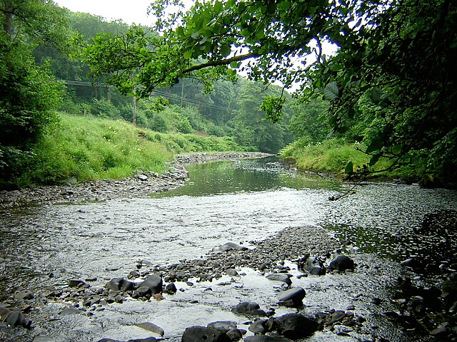
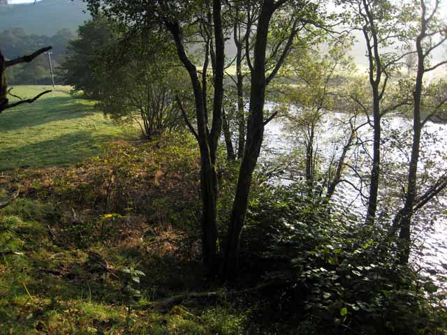
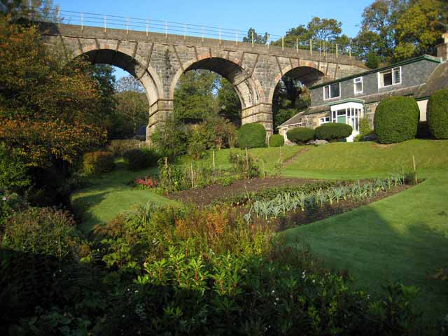
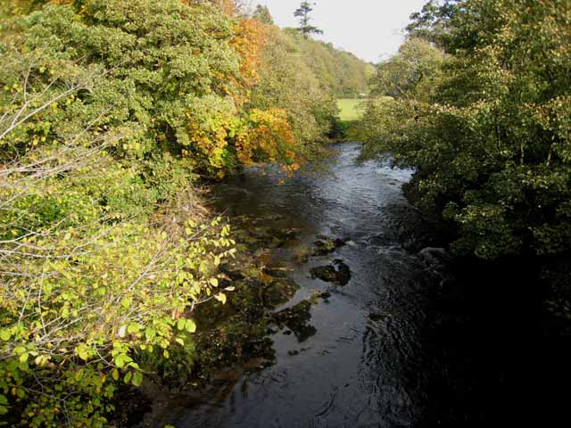
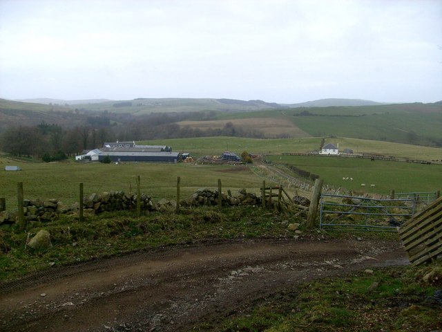
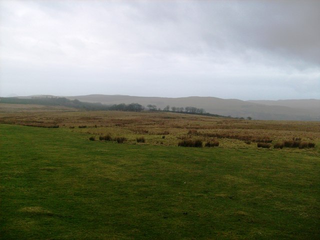
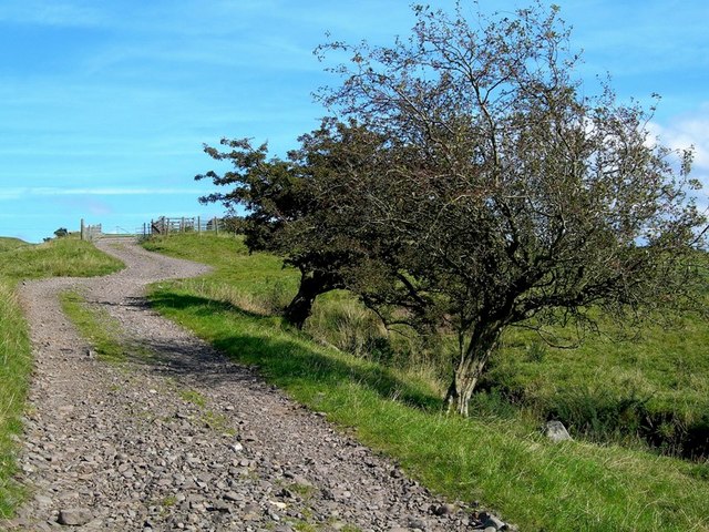
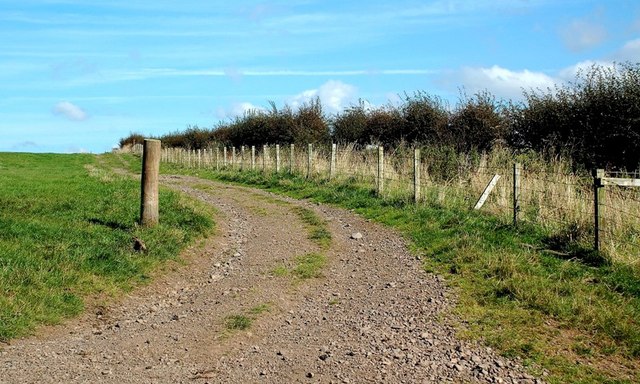
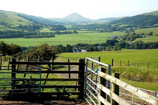
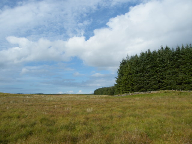
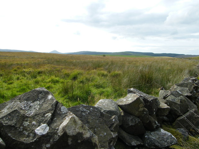
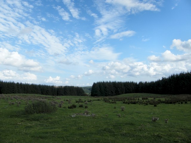
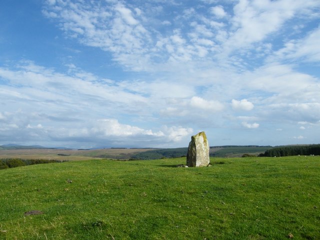
Laggansarroch Plantation is a prominent woodland area located in Ayrshire, Scotland. Covering an extensive area of approximately 500 acres, this plantation is renowned for its diverse range of trees and rich natural beauty. Situated near the village of Coylton, Laggansarroch Plantation attracts numerous visitors and nature enthusiasts throughout the year.

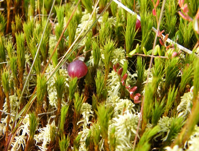
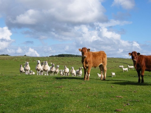
The plantation primarily consists of a mixture of coniferous and deciduous trees, including Scots pine, Sitka spruce, oak, beech, and birch. This variety of tree species creates a dynamic and visually appealing landscape. The woodland is also home to a wide array of wildlife, such as red squirrels, roe deer, badgers, and numerous species of birds.

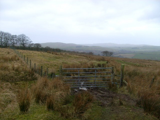
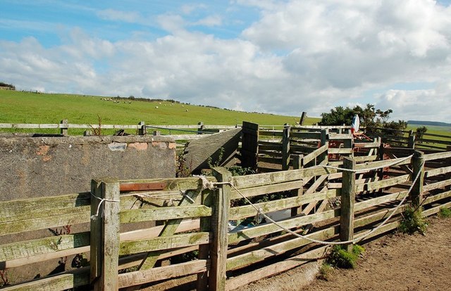
Laggansarroch Plantation offers various recreational opportunities for visitors, including walking trails and nature hikes. There are well-maintained paths that wind through the woodland, allowing visitors to explore the plantation's beauty at their own pace. The plantation also features picnic areas, making it an ideal spot for a leisurely day out with family and friends.

The management of Laggansarroch Plantation focuses on maintaining a healthy ecosystem and promoting sustainable forestry practices. Regular maintenance and tree planting initiatives ensure the sustainability of the woodland and contribute to the preservation of the local environment.

Overall, Laggansarroch Plantation in Ayrshire is a picturesque and ecologically diverse woodland area that offers a tranquil escape and an opportunity to appreciate Scotland's natural beauty.

If you have any feedback on the listing, please let us know in the comments section below.

Laggansarroch Plantation Images

Images are sourced within 2km of 55.164744/-4.8113724 or Grid Reference NX2189. Thanks to Geograph Open Source API. All images are credited.

River Stinchar Near Pinmore Bridge
By the banks of the River Stinchar, between Pinmore and Pinwherry
Viaduct at Holmhead, Pinmore On the Girvan to Stranraer railway. Seen from the A714 Girvan to Newton Stewart road.
Viaduct at Holmhead, Pinmore
On the Girvan to Stranraer railway. Seen from the A714 Girvan to Newton Stewart road.
River Stinchar from Pinmore Bridge
Pinmore Mains track
Pinmore Mains track
Gate above Pinmore Mains
Thome Hill pasture Name taken from nearby trig pillar.
Thome Hill pasture
Name taken from nearby trig pillar.
Farm Track Near Pinwherry The two hawthorn trees by the track reveal the direction of the prevailing wind.
Farm Track Near Pinwherry
The two hawthorn trees by the track reveal the direction of the prevailing wind.
Going Up A farm track giving access to fields in the Stinchar Valley, near Pinwherry.
Going Up
A farm track giving access to fields in the Stinchar Valley, near Pinwherry.
In The Sheepfold This sheepfold is shown on the Explorer Map.
In The Sheepfold
This sheepfold is shown on the Explorer Map.
Stinchar Valley View The view from the sheepfold on the hillside.  The hill in the distance is Knockdolian.
Stinchar Valley View
The view from the sheepfold on the hillside. The hill in the distance is Knockdolian.
Moorland and conifers at top of Little Pinmore hill The wall to the right runs back towards the point above the Stinchar Valley where the Glake Stane stands, a cup marked standing stone, possibly dating back to 2000 BC.
Moorland and conifers at top of Little Pinmore hill
The wall to the right runs back towards the point above the Stinchar Valley where the Glake Stane stands, a cup marked standing stone, possibly dating back to 2000 BC.
Wall and moorland above the Stinchar Valley View from the top of Little Pinmore hill, looking south west towards the Stinchar Valley, with Knockdolian Hill in the distance.
Wall and moorland above the Stinchar Valley
View from the top of Little Pinmore hill, looking south west towards the Stinchar Valley, with Knockdolian Hill in the distance.
Mosses and cranberries There are some good areas for mosses here, but cranberry is not particularly common.
Mosses and cranberries
There are some good areas for mosses here, but cranberry is not particularly common.
Rough pasture and conifers above Glake Although the online map shows the area as solid conifer cover, there is in fact this roughly rectangular open field, almost hidden within the trees, as shown on Google photographs.
Rough pasture and conifers above Glake
Although the online map shows the area as solid conifer cover, there is in fact this roughly rectangular open field, almost hidden within the trees, as shown on Google photographs.
The Glake Stane The Glake Stane is a cup marked standing stone, possibly dating back to 2000BC, in a very prominent position looking west down the Stinchar valley to the Hill of Knockdolian and the sea. The old march walls of several farms in the valley almost converge at the stone. This view of the Glake Stane is looking east towards the Galloway hills in the distance.
The Glake Stane
The Glake Stane is a cup marked standing stone, possibly dating back to 2000BC, in a very prominent position looking west down the Stinchar valley to the Hill of Knockdolian and the sea. The old march walls of several farms in the valley almost converge at the stone. This view of the Glake Stane is looking east towards the Galloway hills in the distance.
Watching the photographer
Show me another place!

Laggansarroch Plantation is located at Grid Ref: NX2189 (Lat: 55.164744, Lng: -4.8113724)

Unitary Authority: South Ayrshire

Police Authority: Ayrshire

What 3 Words

///assorted.envoy.crimson. Near Girvan, South Ayrshire

Related Wikis

Pinwherry railway station

Pinwherry railway station served the village of Pinwherry, South Ayrshire, Scotland from 1887 to 1965 on the Girvan and Portpatrick Junction Railway....

Pinwherry

Pinwherry is a hamlet in the civil parish of Colmonell, in the council area of South Ayrshire, Scotland. It is 8 miles south of Girvan. In 1961 it had...

Pinmore railway station

Pinmore railway station served the hamlet of Pinmore, South Ayrshire, Scotland from 1877 to 1965 on the Girvan and Portpatrick Junction Railway. ��2�...

Ardmillan Castle

Ardmillan Castle is a ruinous Scottish castle dating from the late 16th century. It lies on the A77 on the edge of the Firth of Clyde south of Girvan....

Nearby Amenities

Located within 500m of 55.164744,-4.8113724
Power: pole
Lat/Long: 55.1684301/-4.8146135
Power: pole
Lat/Long: 55.1677008/-4.8152411
Power: pole
Lat/Long: 55.167016/-4.8158205
Power: pole
Lat/Long: 55.1662929/-4.8164374
Power: pole
Lat/Long: 55.1654564/-4.8169121
Power: pole
Lat/Long: 55.1648834/-4.8172715
Power: pole
Lat/Long: 55.164272/-4.8176175
Power: pole
Lat/Long: 55.1636714/-4.8179716
Power: pole
Lat/Long: 55.16308/-4.8181593
The data included in this document is from www.openstreetmap.org. The data is made available under ODbL.

Have you been to Laggansarroch Plantation?

Leave your review of Laggansarroch Plantation below (or comments, questions and feedback).