Sawmill Wood

Wood, Forest in Argyllshire

Scotland

Sawmill Wood

The Old Schoolhouse
The Old Schoolhouse Credit: Mick Garratt

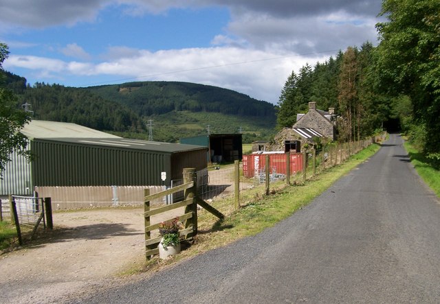
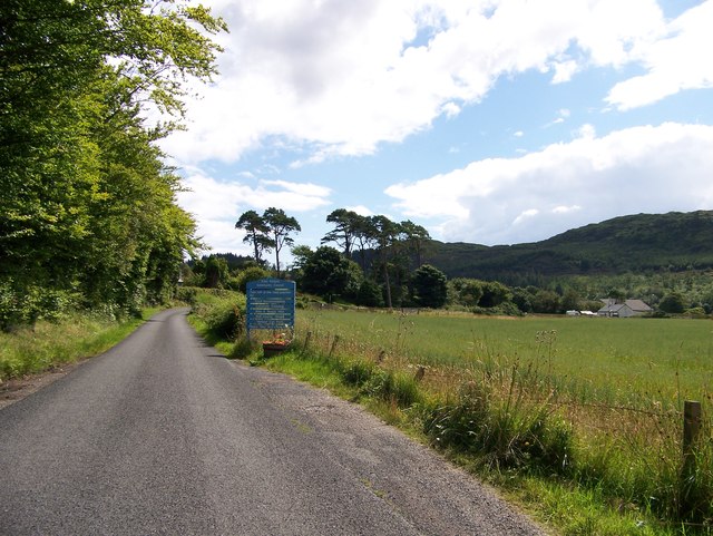
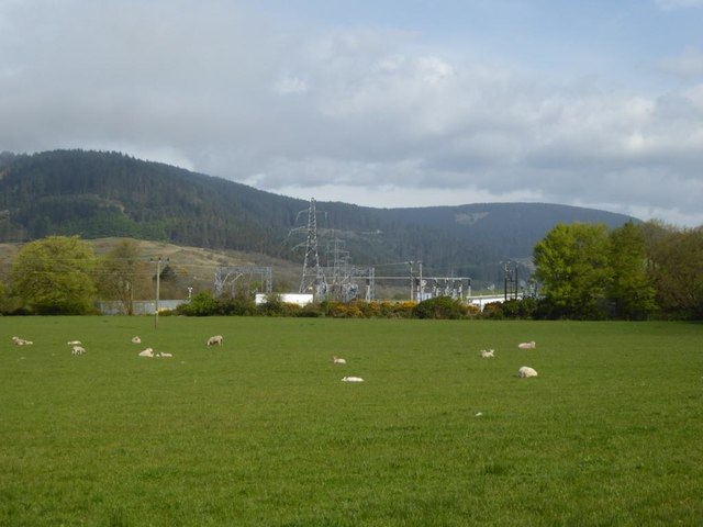
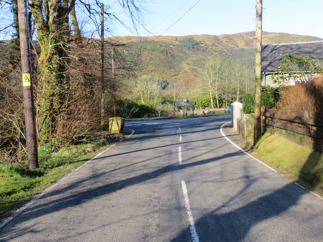
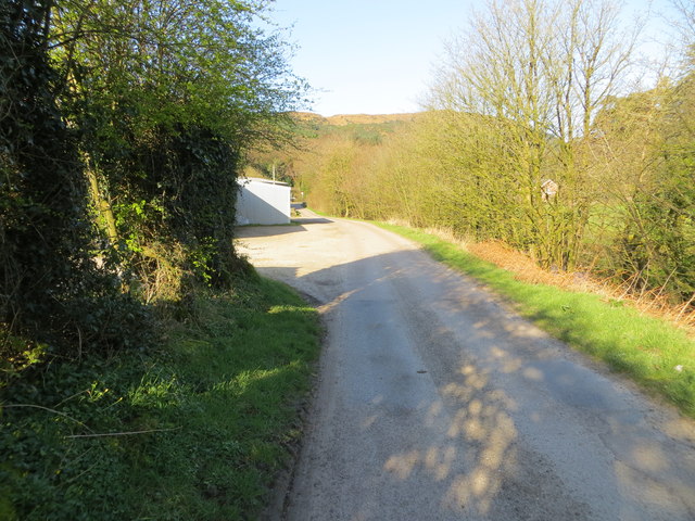
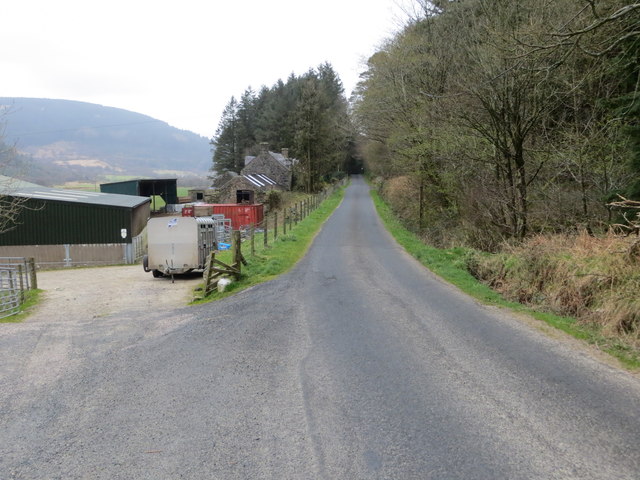
Sawmill Wood is a sprawling forest located in the picturesque region of Argyllshire in Scotland. Covering an area of approximately 500 acres, this wood is a haven for nature lovers and outdoor enthusiasts alike.

The wood is predominantly made up of various species of trees, including oak, birch, beech, and pine. These trees create a diverse and vibrant ecosystem, providing a home to a wide range of wildlife. Visitors to Sawmill Wood may have the opportunity to spot red squirrels, deer, and a variety of bird species such as woodpeckers and owls.

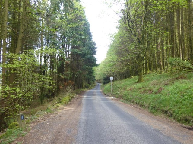
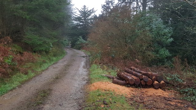
The wood is crisscrossed with a network of well-maintained trails, making it an ideal location for hiking, walking, and biking. These trails offer visitors the chance to explore the wood's tranquil and serene environment while enjoying breathtaking views of the surrounding countryside.

One of the main attractions of Sawmill Wood is its namesake sawmill, which has been in operation since the early 19th century. The sawmill is a testament to the area's rich history in timber production and offers visitors a glimpse into the traditional methods of wood processing.

The wood is also a popular destination for nature education and conservation initiatives. Local schools and organizations often organize field trips and workshops to educate visitors about the importance of sustainable forestry practices and the preservation of natural habitats.

In conclusion, Sawmill Wood in Argyllshire is a captivating forest that offers a range of recreational activities, an abundance of wildlife, and a glimpse into the region's rich timber production history. It is a must-visit destination for anyone seeking a peaceful and immersive experience in nature.

If you have any feedback on the listing, please let us know in the comments section below.
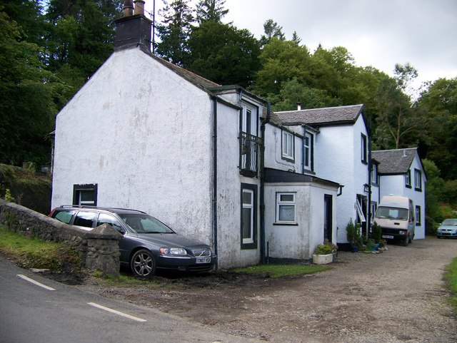
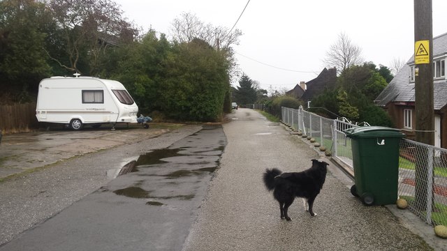
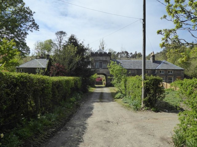
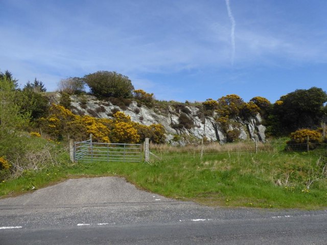
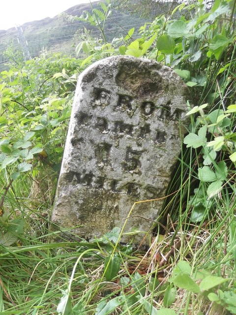
Sawmill Wood Images

Images are sourced within 2km of 55.588847/-5.4958281 or Grid Reference NR7938. Thanks to Geograph Open Source API. All images are credited.

The Old Schoolhouse
The Old Schoolhouse
The Glen Bar & Restaurant on the B842 at Bridgend
Carradale junction on the B842
Auchnasavil Farm
Auchnasavil Farm
Approaching Carradale from the north
Bridgend near Carradale, Kintyre
Toshs Park Carradale Former forestry workers houses. Noon on Xmas Day 2017
Toshs Park Carradale
Former forestry workers houses. Noon on Xmas Day 2017
Torrisdale Square, Kintyre
Disused quarry by the B842
Substation and sheep at Moineruadh
B842 near Auchnasavil Farm, Kintyre
Midday Xmas 2018 Looking down the old Rhonadale forestry road from my house.  The logs are in a part of my property and are an excess of winter fuel.
Midday Xmas 2018
Looking down the old Rhonadale forestry road from my house. The logs are in a part of my property and are an excess of winter fuel.
Old Milestone by the B842, Moineruadh Wood, north of Bridgend Milestone by the B842, in parish of Saddell and Skipness (Kintyre District), North of Bridgend and Carradale, on verge 0.25 mile North of Electricity Sub-station.

Inscription reads:-
FROM
CAMPBᴺ
15
MILES

Surveyed

Milestone Society National ID: AB_CTCN15
Old Milestone by the B842, Moineruadh Wood, north of Bridgend
Milestone by the B842, in parish of Saddell and Skipness (Kintyre District), North of Bridgend and Carradale, on verge 0.25 mile North of Electricity Sub-station. Inscription reads:- FROM CAMPBᴺ 15 MILES Surveyed Milestone Society National ID: AB_CTCN15
Road (B879) from Carradale joining the Campbeltown to Tarbert road (B842) at Tosh's Park Looking westward. Left to Campbeltown, right to Tarbert and behind is Carradale.
Road (B879) from Carradale joining the Campbeltown to Tarbert road (B842) at Tosh's Park
Looking westward. Left to Campbeltown, right to Tarbert and behind is Carradale.
Road from Waterfoot to Dippen and Bridgend at Carradale Looking westward
Road from Waterfoot to Dippen and Bridgend at Carradale
Looking westward
Road (B842) at Auchnasavil Farm Looking northward.
Road (B842) at Auchnasavil Farm
Looking northward.
Ordnance Survey Cut Mark This mark can be found on the roadside wall of a building at the junction of the B879 and B842 roads. The benchmark height has been calculated as 13.63 metres above sea level.
For more detail see : <span class="nowrap"><a title="https://www.bench-marks.org.uk/bm106620" rel="nofollow ugc noopener" href="https://www.bench-marks.org.uk/bm106620">Link</a><img style="margin-left:2px;" alt="External link" title="External link - shift click to open in new window" src="https://s1.geograph.org.uk/img/external.png" width="10" height="10"/></span>
Ordnance Survey Cut Mark
This mark can be found on the roadside wall of a building at the junction of the B879 and B842 roads. The benchmark height has been calculated as 13.63 metres above sea level. For more detail see : LinkExternal link
Milestone alongside the B842 - 'CAMPBn 15 MILES' Carved milestone on the west side of the B842, in parish of Saddell & Skipness (Kintyre District), N of Carradale, on verge 0.25mile N of Electricity Sub-station.

Surveyed

Milestone Society National ID: AB_CTCN15
Milestone alongside the B842 - 'CAMPBn 15 MILES'
Carved milestone on the west side of the B842, in parish of Saddell & Skipness (Kintyre District), N of Carradale, on verge 0.25mile N of Electricity Sub-station. Surveyed Milestone Society National ID: AB_CTCN15
Show me another place!

Sawmill Wood is located at Grid Ref: NR7938 (Lat: 55.588847, Lng: -5.4958281)

Unitary Authority: Argyll and Bute

Police Authority: Argyll and West Dunbartonshire

What 3 Words

///waking.shunning.songs. Near Blackwaterfoot, North Ayrshire

Related Wikis

Carradale House, Argyll and Bute

Carradale House is a Grade B listed mansion house near Carradale, Argyll and Bute, Scotland. Built in the 17th century, the house was extended in 1844...

Carradale

Carradale (Scottish Gaelic: Càradal, pronounced [ˈkʰaːrˠət̪əl̪ˠ]) is a village on the east side of Kintyre, overlooking the Kilbrannan Sound and the west...

Torr Mor

Torr Mor is a hill peak landform on the coastal east side of the Kintyre Peninsula in Scotland. The peak offers views over the Kilbrannan Sound. The Forestry...

Torrisdale, Argyll

Torrisdale is a small village on the eastern coast of the Kintyre Peninsula of Scotland. The village is along Torrisdale Bay, an inlet of the Kilbrannan...

Nearby Amenities

Located within 500m of 55.588847,-5.4958281
Restaurant
The Glen Bar and Restaurant
Lat/Long: 55.5861552/-5.4966461
Power: pole
Lat/Long: 55.5880206/-5.5020698
Power: pole
Lat/Long: 55.5875106/-5.50234
Power: pole
Lat/Long: 55.588026/-5.5026351
Power: pole
Lat/Long: 55.5893681/-5.5020686
Power: pole
Lat/Long: 55.5889507/-5.5024635
Power: pole
Lat/Long: 55.5900647/-5.5020584
Power: pole
Lat/Long: 55.5869543/-5.5026109
Power: pole
Lat/Long: 55.589992/-5.5022435
Power: pole
Lat/Long: 55.5887207/-5.5020792
Power: pole
Lat/Long: 55.587406/-5.5028953
Power: pole
Lat/Long: 55.591112/-5.4954788
Power: pole
Lat/Long: 55.5912666/-5.494701
Power: pole
Lat/Long: 55.5916758/-5.49292
Power: pole
Lat/Long: 55.5918789/-5.4918471
Power: pole
Lat/Long: 55.5920881/-5.4906857
Power: pole
Lat/Long: 55.5920472/-5.4903799
Power: pole
Lat/Long: 55.5917804/-5.4916003
Power: pole
Lat/Long: 55.5915061/-5.4927698
Power: pole
Lat/Long: 55.5909453/-5.4953715
Power: pole
Lat/Long: 55.5907194/-5.4964203
Power: pole
Lat/Long: 55.5905163/-5.4975361
Power: pole
Lat/Long: 55.5902814/-5.4987457
Power: pole
Lat/Long: 55.5898539/-5.5009237
Power: pole
Lat/Long: 55.5908801/-5.4965678
Power: pole
Lat/Long: 55.5906664/-5.4976031
Power: pole
Lat/Long: 55.5904572/-5.4986089
Power: pole
Lat/Long: 55.5899585/-5.5009559
Cafe
Blackbird Tea Room
Opening Hours: Th-Mo 10:30-16:00
Website: https://www.facebook.com/BlackbirdTearoomCarradale/
Lat/Long: 55.5872938/-5.4920885
Carradale Bikes and Buggies
Addr Postcode: PA28 6SG
Fixme: resurvey
Note: no evidence of this business at this location - has it relocated or closed down?
Service Bicycle Rental: yes
Shop: bicycle
Website: http://www.carradalebikesandbuggies.co.uk/
Lat/Long: 55.5873149/-5.4919524
Power: pole
Lat/Long: 55.5848797/-5.4945675
Power: pole
Lat/Long: 55.5858137/-5.495596
Power: pole
Lat/Long: 55.5853111/-5.4956808
Power: pole
Lat/Long: 55.5848164/-5.4957826
Power: pole
Lat/Long: 55.5844885/-5.4957589
Carradale Heritage Centre
Opening Hours: Th-Mo 10:30-16:00
Tourism: museum
Website: https://eastkintyre.org/carradale-heritage-centre/
Lat/Long: 55.587362/-5.4918605
Post Box
Operator: Royal Mail
Post Box Design: ludlow
Post Box Type: wall
Ref: PA28 13
Lat/Long: 55.5850086/-5.4965789
The data included in this document is from www.openstreetmap.org. The data is made available under ODbL.

Have you been to Sawmill Wood?

Leave your review of Sawmill Wood below (or comments, questions and feedback).