Carradale

Settlement in Argyllshire

Scotland

Carradale

Track Through Castle Wood As small as the Torrisdale estate is, there are still some lovely woodland walks.  This particular track passes, what I consider to be, the rear of the castle and on down to the walled garden.
Track Through Castle Wood Credit: Steve Partridge

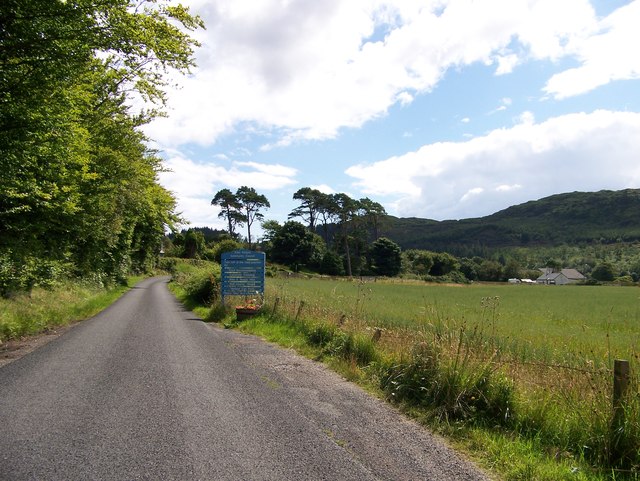
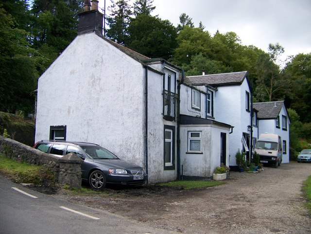
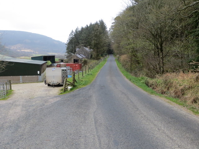
Carradale is a small village located on the east coast of Kintyre Peninsula in Argyllshire, Scotland. Situated in a picturesque setting, Carradale is surrounded by rolling hills and stunning landscapes, offering visitors a tranquil and idyllic retreat. The village is part of the wider Carradale Bay area, which boasts a beautiful sandy beach and crystal-clear waters that are perfect for swimming and water sports.

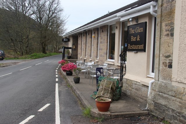
Despite its small size, Carradale offers a range of amenities and attractions for visitors to enjoy. The village is home to a few local shops, a post office, and a charming tearoom where visitors can sample traditional Scottish delicacies. There is also a golf course nearby, which is known for its stunning views over the sea.

For those interested in history, Carradale is home to the Carradale Network Centre, a community-run facility that houses a heritage center and museum. The center showcases the rich history of the area, including its Viking past and the importance of fishing and farming in the local economy.

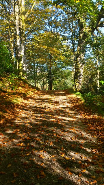
Outdoor enthusiasts will find plenty to keep them occupied in Carradale. The area offers numerous hiking trails that lead through the surrounding hills and forests, providing breathtaking views of the coastline. Fishing is also a popular activity, with the opportunity to catch salmon and sea trout in the nearby rivers.

Carradale is a hidden gem, offering visitors a chance to escape the hustle and bustle of city life and immerse themselves in the natural beauty and tranquility of the Scottish countryside.

If you have any feedback on the listing, please let us know in the comments section below.
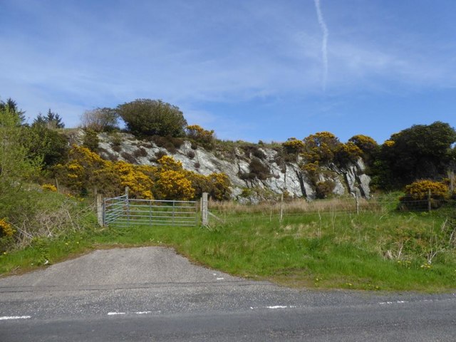
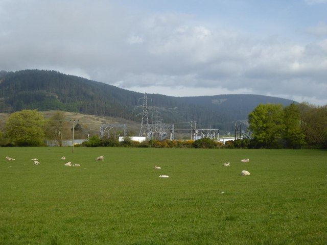
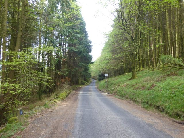
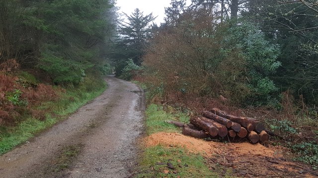
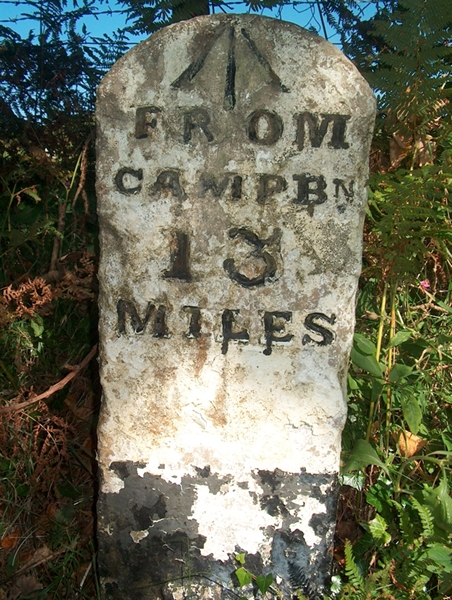
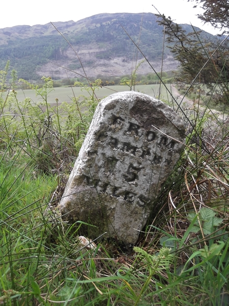
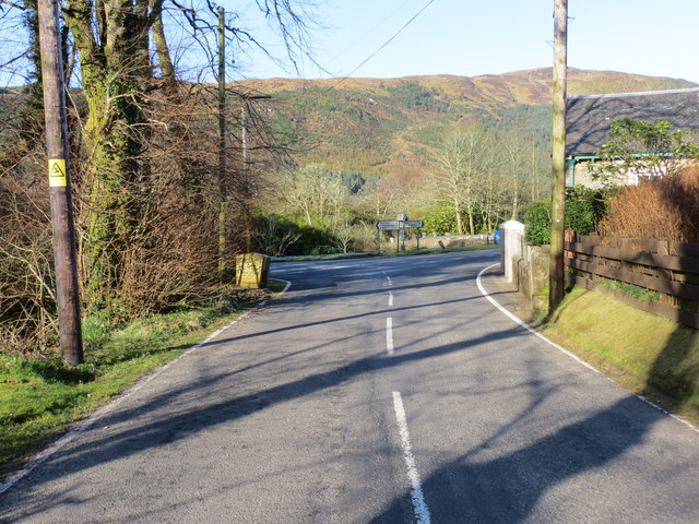
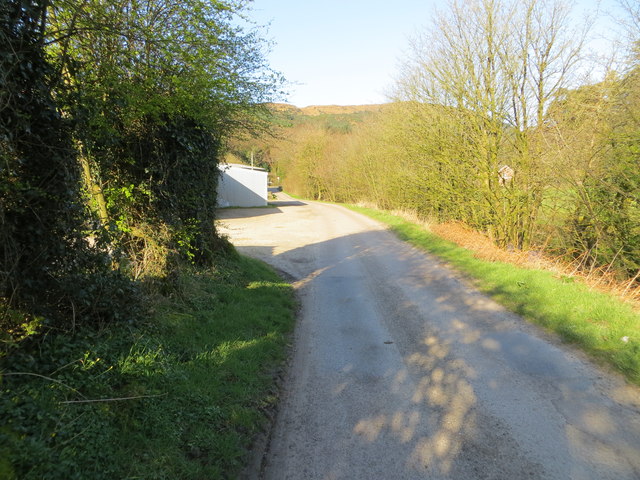
Carradale Images

Images are sourced within 2km of 55.586467/-5.4944733 or Grid Reference NR7938. Thanks to Geograph Open Source API. All images are credited.

Track Through Castle Wood As small as the Torrisdale estate is, there are still some lovely woodland walks.  This particular track passes, what I consider to be, the rear of the castle and on down to the walled garden.
Track Through Castle Wood
As small as the Torrisdale estate is, there are still some lovely woodland walks. This particular track passes, what I consider to be, the rear of the castle and on down to the walled garden.
The Glen Bar & Restaurant on the B842 at Bridgend
Carradale junction on the B842
Auchnasavil Farm
Auchnasavil Farm
Approaching Carradale from the north
Bridgend near Carradale, Kintyre
Toshs Park Carradale Former forestry workers houses. Noon on Xmas Day 2017
Toshs Park Carradale
Former forestry workers houses. Noon on Xmas Day 2017
Torrisdale Square, Kintyre
Disused quarry by the B842
Substation and sheep at Moineruadh
B842 near Auchnasavil Farm, Kintyre
Midday Xmas 2018 Looking down the old Rhonadale forestry road from my house.  The logs are in a part of my property and are an excess of winter fuel.
Midday Xmas 2018
Looking down the old Rhonadale forestry road from my house. The logs are in a part of my property and are an excess of winter fuel.
Old Milestone by the B842, Torrisdale, Saddell and Skipness parish Stone post by the B842, East side of road, in parish of Saddell and Skipness (Kintyre District), Torrisdale, Kintyre, North of the bay.

Inscription reads:-
FROM
CAMPBN
13
MILES
Carved bench mark on top.

Surveyed

Milestone Society National ID: AB_CTCN13
Old Milestone by the B842, Torrisdale, Saddell and Skipness parish
Stone post by the B842, East side of road, in parish of Saddell and Skipness (Kintyre District), Torrisdale, Kintyre, North of the bay. Inscription reads:- FROM CAMPBN 13 MILES Carved bench mark on top. Surveyed Milestone Society National ID: AB_CTCN13
Old Milestone by the B842, Moineruadh Wood, north of Bridgend Milestone by the B842, in parish of Saddell and Skipness (Kintyre District), North of Bridgend and Carradale, on verge 0.25 mile North of Electricity Sub-station.

Inscription reads:-
FROM
CAMPBᴺ
15
MILES

Surveyed

Milestone Society National ID: AB_CTCN15
Old Milestone by the B842, Moineruadh Wood, north of Bridgend
Milestone by the B842, in parish of Saddell and Skipness (Kintyre District), North of Bridgend and Carradale, on verge 0.25 mile North of Electricity Sub-station. Inscription reads:- FROM CAMPBᴺ 15 MILES Surveyed Milestone Society National ID: AB_CTCN15
Road (B879) from Carradale joining the Campbeltown to Tarbert road (B842) at Tosh's Park Looking westward. Left to Campbeltown, right to Tarbert and behind is Carradale.
Road (B879) from Carradale joining the Campbeltown to Tarbert road (B842) at Tosh's Park
Looking westward. Left to Campbeltown, right to Tarbert and behind is Carradale.
Road from Waterfoot to Dippen and Bridgend at Carradale Looking westward
Road from Waterfoot to Dippen and Bridgend at Carradale
Looking westward
Road (B842) at Auchnasavil Farm Looking northward.
Road (B842) at Auchnasavil Farm
Looking northward.
Ordnance Survey Cut Mark This mark can be found on the roadside wall of a building at the junction of the B879 and B842 roads. The benchmark height has been calculated as 13.63 metres above sea level.
For more detail see : <span class="nowrap"><a title="https://www.bench-marks.org.uk/bm106620" rel="nofollow ugc noopener" href="https://www.bench-marks.org.uk/bm106620">Link</a><img style="margin-left:2px;" alt="External link" title="External link - shift click to open in new window" src="https://s1.geograph.org.uk/img/external.png" width="10" height="10"/></span>
Ordnance Survey Cut Mark
This mark can be found on the roadside wall of a building at the junction of the B879 and B842 roads. The benchmark height has been calculated as 13.63 metres above sea level. For more detail see : LinkExternal link
Show me another place!

Carradale is located at Grid Ref: NR7938 (Lat: 55.586467, Lng: -5.4944733)

Unitary Authority: Argyll and Bute

Police Authority: Argyll and West Dunbartonshire

What 3 Words

///enclosing.flipper.prepare. Near Blackwaterfoot, North Ayrshire

Related Wikis

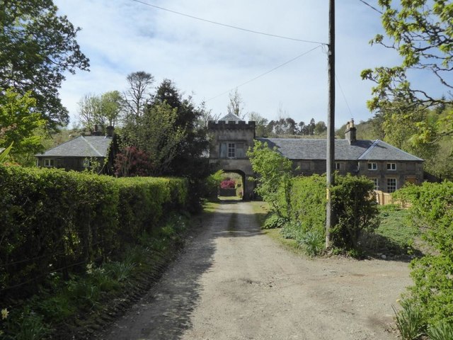
Carradale House, Argyll and Bute

Carradale House is a Grade B listed mansion house near Carradale, Argyll and Bute, Scotland. Built in the 17th century, the house was extended in 1844...

Carradale

Carradale (Scottish Gaelic: Càradal, pronounced [ˈkʰaːrˠət̪əl̪ˠ]) is a village on the east side of Kintyre, overlooking the Kilbrannan Sound and the west...

Torrisdale, Argyll

Torrisdale is a small village on the eastern coast of the Kintyre Peninsula of Scotland. The village is along Torrisdale Bay, an inlet of the Kilbrannan...
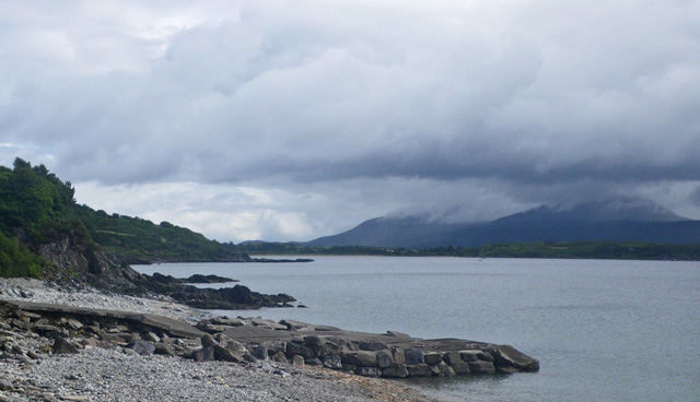
Dippen Bay

Dippen Bay is an embayment along Kilbrannan Sound on the east coast of the Kintyre Peninsula in Scotland. Coastal erosion has been documented at Dippen...

Nearby Amenities

Located within 500m of 55.586467,-5.4944733
Restaurant
The Glen Bar and Restaurant
Lat/Long: 55.5861552/-5.4966461
Power: pole
Lat/Long: 55.5907194/-5.4964203
Power: pole
Lat/Long: 55.5905163/-5.4975361
Cafe
Blackbird Tea Room
Opening Hours: Th-Mo 10:30-16:00
Website: https://www.facebook.com/BlackbirdTearoomCarradale/
Lat/Long: 55.5872938/-5.4920885
Carradale Bikes and Buggies
Addr Postcode: PA28 6SG
Fixme: resurvey
Note: no evidence of this business at this location - has it relocated or closed down?
Service Bicycle Rental: yes
Shop: bicycle
Website: http://www.carradalebikesandbuggies.co.uk/
Lat/Long: 55.5873149/-5.4919524
Power: pole
Lat/Long: 55.5826486/-5.490847
Power: pole
Lat/Long: 55.5821309/-5.49454
Power: pole
Lat/Long: 55.5824417/-5.4948554
Power: pole
Lat/Long: 55.5828621/-5.4938493
Power: pole
Lat/Long: 55.5832681/-5.4928613
Power: pole
Lat/Long: 55.5838482/-5.4934945
Power: pole
Lat/Long: 55.5848797/-5.4945675
Power: pole
Lat/Long: 55.5858137/-5.495596
Power: pole
Lat/Long: 55.5853111/-5.4956808
Power: pole
Lat/Long: 55.5848164/-5.4957826
Power: pole
Lat/Long: 55.5844885/-5.4957589
Power: pole
Lat/Long: 55.5842174/-5.4958345
Carradale Heritage Centre
Opening Hours: Th-Mo 10:30-16:00
Tourism: museum
Website: https://eastkintyre.org/carradale-heritage-centre/
Lat/Long: 55.587362/-5.4918605
Generator Source: solar
Power: generator
Lat/Long: 55.5842051/-5.4959375
Post Box
Operator: Royal Mail
Post Box Design: ludlow
Post Box Type: wall
Ref: PA28 13
Lat/Long: 55.5850086/-5.4965789
The data included in this document is from www.openstreetmap.org. The data is made available under ODbL.

Have you been to Carradale?

Leave your review of Carradale below (or comments, questions and feedback).