Moineruadh Wood

Wood, Forest in Argyllshire

Scotland

Moineruadh Wood

The Old Schoolhouse
The Old Schoolhouse Credit: Mick Garratt

Moineruadh Wood is a captivating forest located in Argyllshire, Scotland. Covering an area of approximately 200 acres, this woodland is renowned for its natural beauty and diverse flora and fauna. Situated near the village of Achahoish, the wood is easily accessible to visitors.

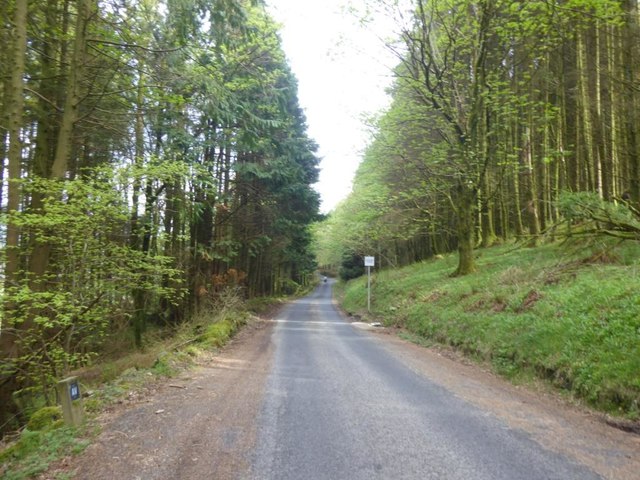
The forest boasts a mixture of broadleaf and coniferous trees, including oak, birch, and pine, creating a picturesque landscape throughout the year. The vibrant colors of the changing leaves in autumn and the fresh green foliage in spring make Moineruadh Wood a popular destination for nature enthusiasts and photographers alike.

The woodland is home to a wide variety of wildlife, providing a habitat for many species. Visitors may encounter red squirrels, roe deer, and a rich array of birdlife, including woodpeckers and owls. The tranquil atmosphere and diverse ecosystem make Moineruadh Wood an ideal location for birdwatching and wildlife spotting.

Several walking trails meander through the forest, offering visitors the chance to explore the wood at their own pace. The paths are well-maintained and suitable for all ages and abilities. Along the way, benches and picnic areas provide opportunities to rest and take in the stunning surroundings.

Moineruadh Wood is not only a haven for nature lovers but also a valuable educational resource. The woodland offers educational programs and workshops, allowing visitors to learn about the importance of conservation and the environment.

In conclusion, Moineruadh Wood in Argyllshire is a captivating forest known for its natural beauty, diverse wildlife, and educational opportunities. Whether you are seeking a peaceful walk in nature or a chance to learn more about the environment, this woodland is a must-visit destination in Scotland.

If you have any feedback on the listing, please let us know in the comments section below.

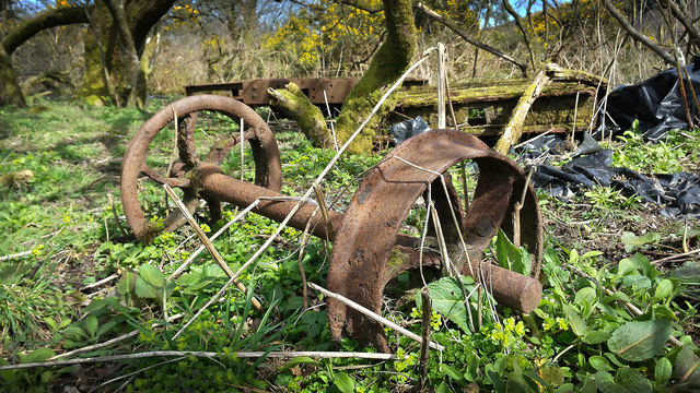
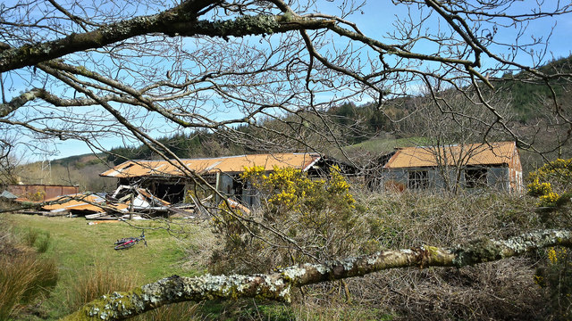
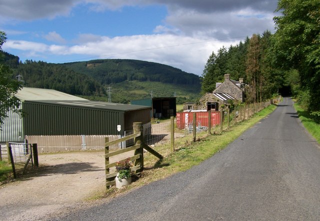
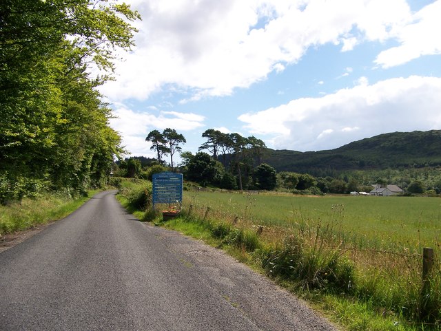
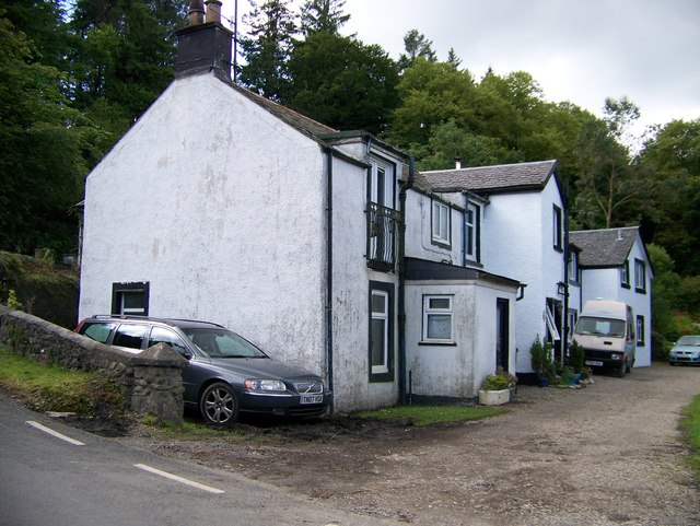
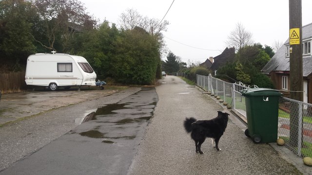
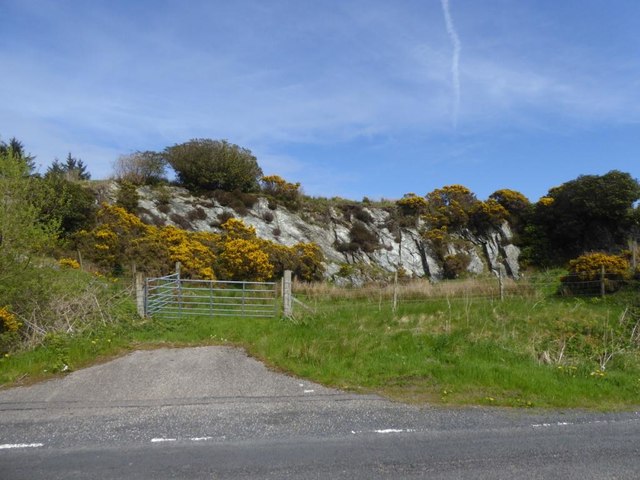
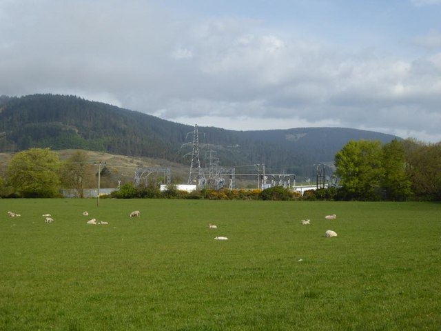
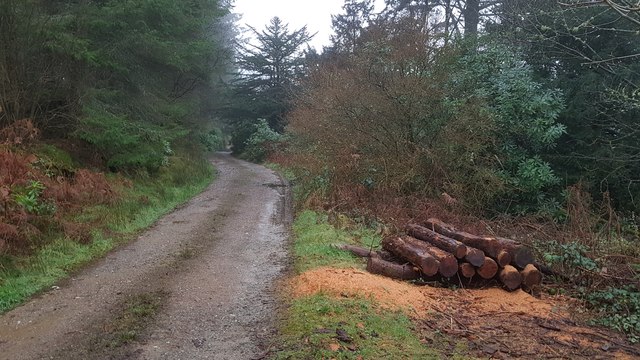
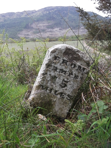
Moineruadh Wood Images

Images are sourced within 2km of 55.592674/-5.5022182 or Grid Reference NR7938. Thanks to Geograph Open Source API. All images are credited.

The Old Schoolhouse
The Old Schoolhouse
Auchnasavil Woods The edge of a woodland near Carradale.
Auchnasavil Woods
The edge of a woodland near Carradale.
Lag Kilmichael roadend The cyclist is on the B842 to Tarbert.
Lag Kilmichael roadend
The cyclist is on the B842 to Tarbert.
Rusty bogie wheels at Lag Kilmichael These wheels were once a part of the sawmill operation at Lag Kilmichael, just north of Carradale and closed since the seventies.  Remains of the bogies themselves can be seen in the background.
Rusty bogie wheels at Lag Kilmichael
These wheels were once a part of the sawmill operation at Lag Kilmichael, just north of Carradale and closed since the seventies. Remains of the bogies themselves can be seen in the background.
The Old Sawmill at Lag Kilmichael Once a thriving business, I'm told.  Abandoned since the seventies.
The Old Sawmill at Lag Kilmichael
Once a thriving business, I'm told. Abandoned since the seventies.
The Glen Bar & Restaurant on the B842 at Bridgend
Carradale junction on the B842
Lag Kilmichael roadend
Auchnasavil Farm
Auchnasavil Farm
Approaching Carradale from the north
Bridgend near Carradale, Kintyre
Toshs Park Carradale Former forestry workers houses. Noon on Xmas Day 2017
Toshs Park Carradale
Former forestry workers houses. Noon on Xmas Day 2017
Disused quarry by the B842
Substation and sheep at Moineruadh
B842 near Auchnasavil Farm, Kintyre
Turning for Lag Kilmichael
Midday Xmas 2018 Looking down the old Rhonadale forestry road from my house.  The logs are in a part of my property and are an excess of winter fuel.
Midday Xmas 2018
Looking down the old Rhonadale forestry road from my house. The logs are in a part of my property and are an excess of winter fuel.
Old Milestone by the B842, Moineruadh Wood, north of Bridgend Milestone by the B842, in parish of Saddell and Skipness (Kintyre District), North of Bridgend and Carradale, on verge 0.25 mile North of Electricity Sub-station.

Inscription reads:-
FROM
CAMPBᴺ
15
MILES

Surveyed

Milestone Society National ID: AB_CTCN15
Old Milestone by the B842, Moineruadh Wood, north of Bridgend
Milestone by the B842, in parish of Saddell and Skipness (Kintyre District), North of Bridgend and Carradale, on verge 0.25 mile North of Electricity Sub-station. Inscription reads:- FROM CAMPBᴺ 15 MILES Surveyed Milestone Society National ID: AB_CTCN15
Show me another place!

Moineruadh Wood is located at Grid Ref: NR7938 (Lat: 55.592674, Lng: -5.5022182)

Unitary Authority: Argyll and Bute

Police Authority: Argyll and West Dunbartonshire

What 3 Words

///held.impresses.splash. Near Blackwaterfoot, North Ayrshire

Related Wikis

Carradale House, Argyll and Bute

Carradale House is a Grade B listed mansion house near Carradale, Argyll and Bute, Scotland. Built in the 17th century, the house was extended in 1844...

Torr Mor

Torr Mor is a hill peak landform on the coastal east side of the Kintyre Peninsula in Scotland. The peak offers views over the Kilbrannan Sound. The Forestry...

Carradale

Carradale (Scottish Gaelic: Càradal, pronounced [ˈkʰaːrˠət̪əl̪ˠ]) is a village on the east side of Kintyre, overlooking the Kilbrannan Sound and the west...

Torrisdale, Argyll

Torrisdale is a small village on the eastern coast of the Kintyre Peninsula of Scotland. The village is along Torrisdale Bay, an inlet of the Kilbrannan...

Nearby Amenities

Located within 500m of 55.592674,-5.5022182
Power: pole
Lat/Long: 55.5903543/-5.5038073
Power: pole
Lat/Long: 55.5901785/-5.5051699
Power: pole
Lat/Long: 55.5898905/-5.5072137
Power: pole
Lat/Long: 55.5893681/-5.5020686
Power: pole
Lat/Long: 55.5889507/-5.5024635
Power: pole
Lat/Long: 55.5897631/-5.5082759
Power: pole
Lat/Long: 55.5900647/-5.5020584
Power: pole
Lat/Long: 55.589992/-5.5022435
Power: pole
Lat/Long: 55.5887207/-5.5020792
Power: pole
Lat/Long: 55.5903557/-5.5088979
Power: pole
Lat/Long: 55.591112/-5.4954788
Power: pole
Lat/Long: 55.5912666/-5.494701
Power: pole
Lat/Long: 55.5909453/-5.4953715
Power: pole
Lat/Long: 55.5907194/-5.4964203
Power: pole
Lat/Long: 55.5905163/-5.4975361
Power: pole
Lat/Long: 55.5902814/-5.4987457
Power: pole
Lat/Long: 55.5898539/-5.5009237
Power: pole
Lat/Long: 55.5908801/-5.4965678
Power: pole
Lat/Long: 55.5906664/-5.4976031
Power: pole
Lat/Long: 55.5904572/-5.4986089
Power: pole
Lat/Long: 55.5899585/-5.5009559
Power: pole
Lat/Long: 55.5940902/-5.5055746
Power: pole
Lat/Long: 55.594748/-5.5060575
Power: pole
Lat/Long: 55.5953603/-5.5065107
Power: tower
Lat/Long: 55.590633/-5.5033404
Power: tower
Lat/Long: 55.5921336/-5.5051267
Power: tower
Lat/Long: 55.5936431/-5.5069292
Power: pole
Lat/Long: 55.593476/-5.5049696
The data included in this document is from www.openstreetmap.org. The data is made available under ODbL.

Have you been to Moineruadh Wood?

Leave your review of Moineruadh Wood below (or comments, questions and feedback).