Carr Hall

Settlement in Lancashire Pendle

England

Carr Hall

Booths, Halstead Lane, Barrowford The supermarket opened in November 2014 on the site of Park Shed (cotton weaving shed) which belonged to the East Lancashire Towel Company. Another contributor managed to get a photo inside the mill in 2007 before it closed <a href="https://www.geograph.org.uk/photo/3530400">SD8539 : East Lancs Towel Mill</a>. Source: <span class="nowrap"><a title="https://en.wikipedia.org/wiki/Barrowford" rel="nofollow ugc noopener" href="https://en.wikipedia.org/wiki/Barrowford">Link</a><img style="margin-left:2px;" alt="External link" title="External link - shift click to open in new window" src="https://s1.geograph.org.uk/img/external.png" width="10" height="10"/></span>
Booths, Halstead Lane, Barrowford Credit: Stephen Craven

Carr Hall is a small village located in the county of Lancashire, England. Situated approximately 2 miles southwest of the town of Whalley, it is nestled in the beautiful Ribble Valley area. The village is known for its picturesque surroundings and tranquil atmosphere.

Carr Hall is primarily a residential area, with a small number of houses and cottages scattered throughout. The architecture in the village is predominantly traditional, reflecting the region's rich history. The village is surrounded by lush green fields, providing a peaceful and idyllic backdrop for residents and visitors alike.

Although it is a small village, Carr Hall benefits from its close proximity to nearby amenities. The town of Whalley, with its range of shops, restaurants, and pubs, is just a short drive away. Additionally, the larger cities of Blackburn and Preston are easily accessible, providing further options for shopping, entertainment, and employment.

Nature lovers are drawn to Carr Hall due to its location within the Ribble Valley, a designated Area of Outstanding Natural Beauty. The area offers numerous walking and hiking trails, allowing visitors to explore the stunning countryside and enjoy the local flora and fauna.

Overall, Carr Hall is a charming village with a strong sense of community and an abundance of natural beauty. It offers a peaceful and picturesque setting for those seeking a serene and rural lifestyle, while still being within close reach of larger towns and cities.

If you have any feedback on the listing, please let us know in the comments section below.
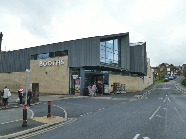
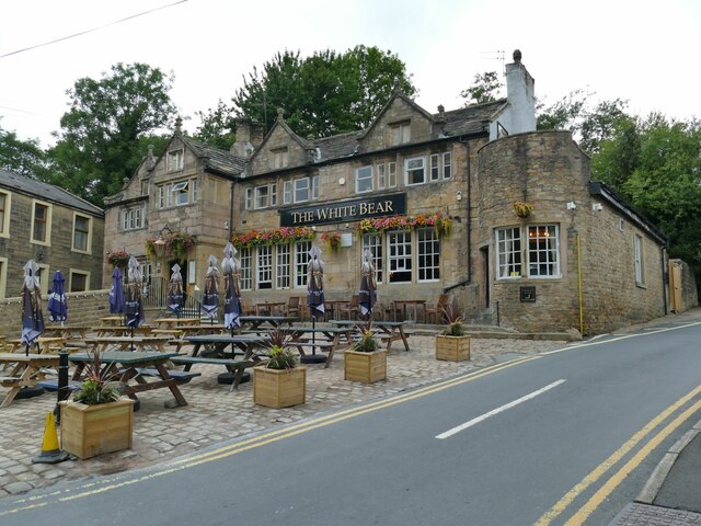
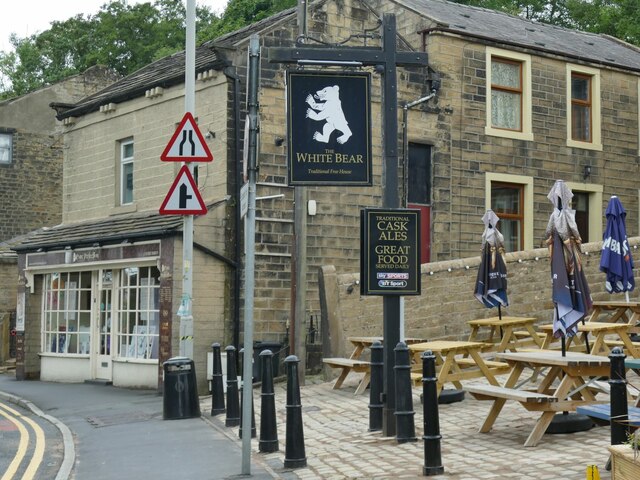
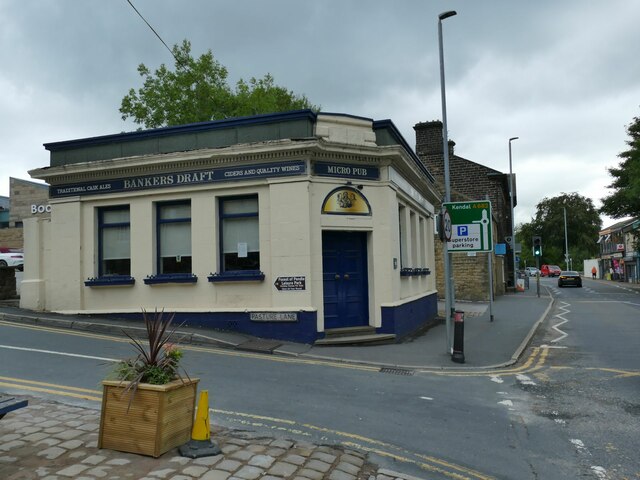
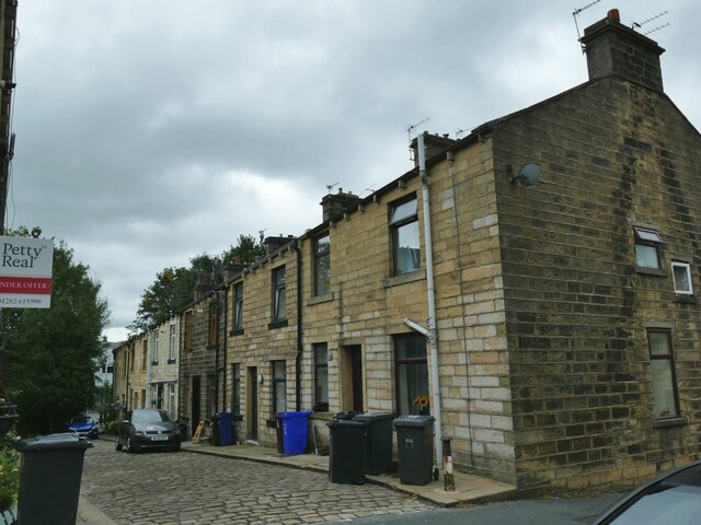
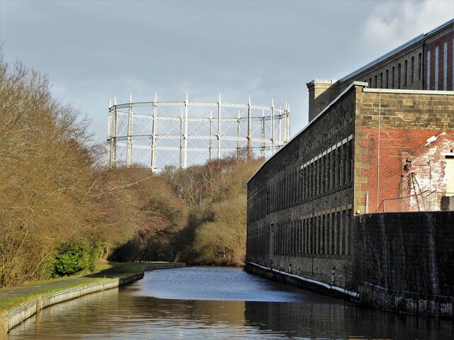
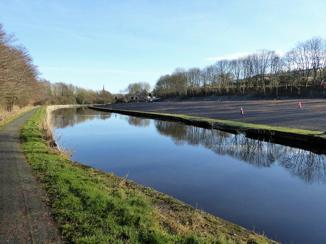
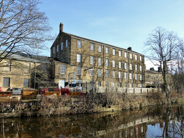
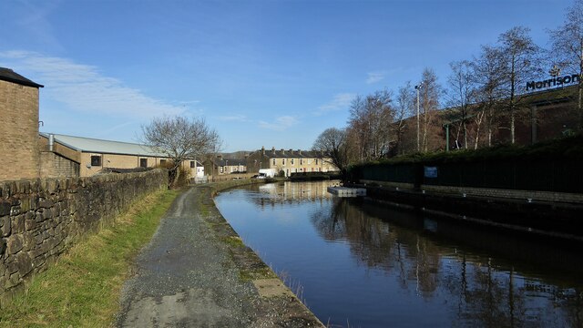
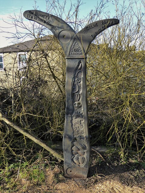
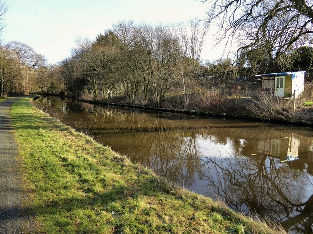
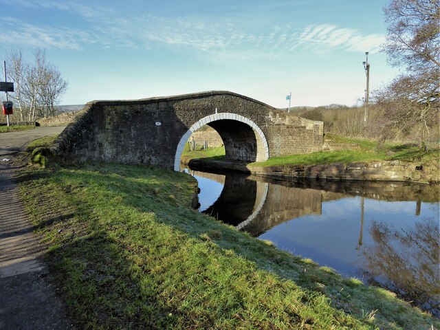
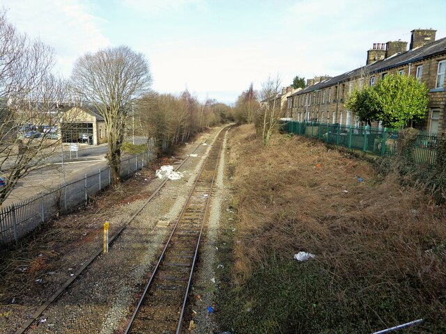
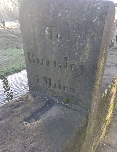
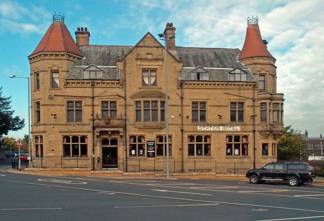
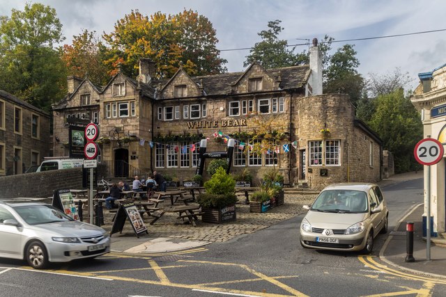
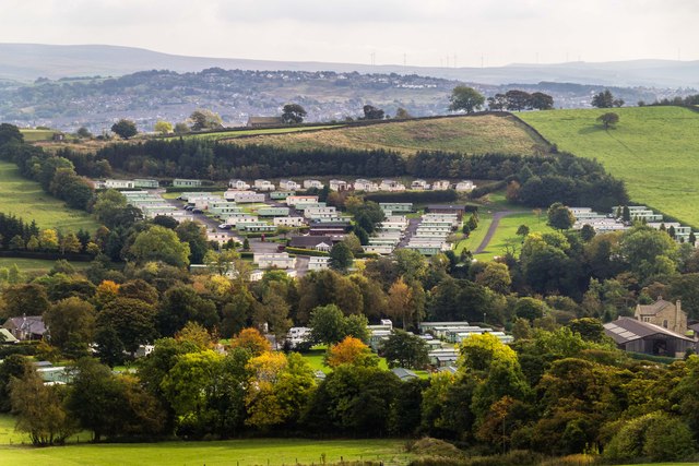
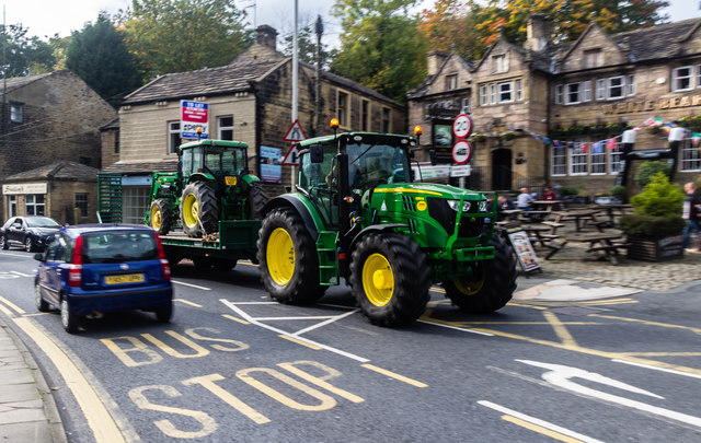
Carr Hall Images

Images are sourced within 2km of 53.839145/-2.2298433 or Grid Reference SD8438. Thanks to Geograph Open Source API. All images are credited.

Booths, Halstead Lane, Barrowford The supermarket opened in November 2014 on the site of Park Shed (cotton weaving shed) which belonged to the East Lancashire Towel Company. Another contributor managed to get a photo inside the mill in 2007 before it closed <a href="https://www.geograph.org.uk/photo/3530400">SD8539 : East Lancs Towel Mill</a>. Source: <span class="nowrap"><a title="https://en.wikipedia.org/wiki/Barrowford" rel="nofollow ugc noopener" href="https://en.wikipedia.org/wiki/Barrowford">Link</a><img style="margin-left:2px;" alt="External link" title="External link - shift click to open in new window" src="https://s1.geograph.org.uk/img/external.png" width="10" height="10"/></span>
Booths, Halstead Lane, Barrowford
The supermarket opened in November 2014 on the site of Park Shed (cotton weaving shed) which belonged to the East Lancashire Towel Company. Another contributor managed to get a photo inside the mill in 2007 before it closed SD8539 : East Lancs Towel Mill. Source: LinkExternal link
The White Bear, Barrowford A historic pub at the bottom of Pasture Lane. Listed grade II (list entry 1258954) where it is described as 'Formerly Hargreaves Great House. Dated probably 1667, on porch, but may be later.' Behind it was the large Albert cotton mill, some of the buildings of which are still in other industrial use.
The White Bear, Barrowford
A historic pub at the bottom of Pasture Lane. Listed grade II (list entry 1258954) where it is described as 'Formerly Hargreaves Great House. Dated probably 1667, on porch, but may be later.' Behind it was the large Albert cotton mill, some of the buildings of which are still in other industrial use.
Sign for the White Bear, Barrowford For the pub itself see <a href="https://www.geograph.org.uk/photo/7266094">SD8539 : The White Bear, Barrowford</a>.
Sign for the White Bear, Barrowford
For the pub itself see SD8539 : The White Bear, Barrowford.
The Banker's Draft, Barrowford A former NatWest bank, now a micropub in competition with the ancient White Bear opposite <a href="https://www.geograph.org.uk/photo/7266094">SD8539 : The White Bear, Barrowford</a>.
The Banker's Draft, Barrowford
A former NatWest bank, now a micropub in competition with the ancient White Bear opposite SD8539 : The White Bear, Barrowford.
East Bank, Barrowford This stone terrace off Pasture Lane, with stone setted road, is typical of East Lancashire generally.
East Bank, Barrowford
This stone terrace off Pasture Lane, with stone setted road, is typical of East Lancashire generally.
Brierfield Mills by the canal The canal is the Leeds & Liverpool and on the skyline is the supporting structure for a gas holder. The mills are being converted to residential and enterprise uses
Brierfield Mills by the canal
The canal is the Leeds & Liverpool and on the skyline is the supporting structure for a gas holder. The mills are being converted to residential and enterprise uses
Cleared land by the canal Just after the A682 Lindred Bridge, there is a long strip of land up to Alder House that appears to be recently developed. The canal is the Leeds & Liverpool.
Cleared land by the canal
Just after the A682 Lindred Bridge, there is a long strip of land up to Alder House that appears to be recently developed. The canal is the Leeds & Liverpool.
Lomeshaye Bridge Mill This mill carries a date stone of 1899 and appears to have a small bell tower on the roof line. The water is the Leeds & Liverpool canal
Lomeshaye Bridge Mill
This mill carries a date stone of 1899 and appears to have a small bell tower on the roof line. The water is the Leeds & Liverpool canal
Leeds & Liverpool Canal On the towpath ahead is a National Cycle Network Milestone for this route No.68
Leeds & Liverpool Canal
On the towpath ahead is a National Cycle Network Milestone for this route No.68
National Cycle Network Milestone On route No.68 by the Leeds & Liverpool Canal
National Cycle Network Milestone
On route No.68 by the Leeds & Liverpool Canal
Allotments by the canal The Leeds & Liverpool Canal north of Hodge Bank Bridge, Nelson
Allotments by the canal
The Leeds & Liverpool Canal north of Hodge Bank Bridge, Nelson
Swinden Bridge This Leeds & Liverpool Canal bridge takes the towpath across from one bank to the other. The bridge is numbered 142
Swinden Bridge
This Leeds & Liverpool Canal bridge takes the towpath across from one bank to the other. The bridge is numbered 142
Railway track towards Colne View from the footbridge at the end of Bridge Street which was built to span several track lines and not just the one that survives.
Railway track towards Colne
View from the footbridge at the end of Bridge Street which was built to span several track lines and not just the one that survives.
Old Milestone by the A682, Barrowford Carved stone post by the A682, in parish of BARROWFORD (PENDLE District), Gisburn Road, opposite No. 129, fixed into and protruding above wall at edge of Pendle Water, on East side of road. Gisburn Wedge, erected by the Gisburne & Long Preston turnpike trust in the 19th century. 

Inscription reads:-
: To / Burnley / 5 / Miles : : 1863 : : To / Gisburne / 7 / Miles :

Grade II listed. 
List Entry Number: 1361705 <span class="nowrap"><a title="https://historicengland.org.uk/listing/the-list/list-entry/1361705" rel="nofollow ugc noopener" href="https://historicengland.org.uk/listing/the-list/list-entry/1361705">Link</a><img style="margin-left:2px;" alt="External link" title="External link - shift click to open in new window" src="https://s1.geograph.org.uk/img/external.png" width="10" height="10"/></span>

Milestone Society National ID: LA_GNBU07.
Old Milestone by the A682, Barrowford
Carved stone post by the A682, in parish of BARROWFORD (PENDLE District), Gisburn Road, opposite No. 129, fixed into and protruding above wall at edge of Pendle Water, on East side of road. Gisburn Wedge, erected by the Gisburne & Long Preston turnpike trust in the 19th century. Inscription reads:- : To / Burnley / 5 / Miles : : 1863 : : To / Gisburne / 7 / Miles : Grade II listed. List Entry Number: 1361705 LinkExternal link Milestone Society National ID: LA_GNBU07.
Station Hotel, Nelson Grade II listed building of 1893 - "A substantial, imposing and consciously-detailed railway hotel, built at the height of the community's industrial development, and designed to impress those arriving in Nelson." - quoted from this <span class="nowrap"><a title="http://list.historicengland.org.uk/resultsingle.aspx?uid=1113186" rel="nofollow ugc noopener" href="http://list.historicengland.org.uk/resultsingle.aspx?uid=1113186">Link</a><img style="margin-left:2px;" alt="External link" title="External link - shift click to open in new window" src="https://s1.geograph.org.uk/img/external.png" width="10" height="10"/></span>.
Station Hotel, Nelson
Grade II listed building of 1893 - "A substantial, imposing and consciously-detailed railway hotel, built at the height of the community's industrial development, and designed to impress those arriving in Nelson." - quoted from this LinkExternal link.
The White Bear The White Bear public house in Barrowford.
The White Bear
The White Bear public house in Barrowford.
Caravan Park Caravan park above Roughlees.
Caravan Park
Caravan park above Roughlees.
A682 Tractor on the A682 passing <a href="https://www.geograph.org.uk/photo/4694361">SD8539 : The White Bear</a> in Barrowford.
A682
Tractor on the A682 passing SD8539 : The White Bear in Barrowford.
Show me another place!

Carr Hall is located at Grid Ref: SD8438 (Lat: 53.839145, Lng: -2.2298433)

Administrative County: Lancashire

District: Pendle

Police Authority: Lancashire

What 3 Words

///frail.bullion.wharfs. Near Barrowford, Lancashire

Nearby Locations

Carr Hall Higgen Clough

Related Wikis

Nelson F.C.

Nelson Football Club, colloquially known as Nelson F.C. or simply Nelson, is an English football club based in Nelson, Lancashire. Originally established...

Seedhill Football Ground

The Seedhill Football Ground was a football stadium in Nelson, Lancashire. It was the home of various incarnations of current North West Counties League...

Seedhill Cricket Ground

The Seedhill Cricket Ground is a small cricket stadium in the English town of Nelson, Lancashire. It is the home of Lancashire League cricket team Nelson...

St Mary's Church, Nelson

St Mary's Church is on Manchester Road in Nelson, Pendle, Lancashire. It is a redundant Anglican parish church, and is recorded in the National Heritage...

Nearby Amenities

Located within 500m of 53.839145,-2.2298433
Motorway Junction
Reedyford Interchange
Ref: 13
Lat/Long: 53.8394284/-2.2222801
Crossing
Crossing: uncontrolled
Kerb: lowered
Tactile Paving: no
Lat/Long: 53.8424121/-2.2274134
Lomeshaye Business Village
Place: locality
Lat/Long: 53.834777/-2.2294436
Crossing
Crossing: uncontrolled
Kerb: lowered
Tactile Paving: no
Lat/Long: 53.8395236/-2.2245306
Crossing
Crossing: uncontrolled
Kerb: lowered
Tactile Paving: no
Lat/Long: 53.8421236/-2.2282939
Crossing
Crossing: uncontrolled
Kerb: lowered
Tactile Paving: no
Lat/Long: 53.8420679/-2.2282382
Crossing
Crossing: uncontrolled
Kerb: lowered
Tactile Paving: no
Lat/Long: 53.8425231/-2.2280403
Crossing
Crossing: uncontrolled
Kerb: lowered
Tactile Paving: no
Lat/Long: 53.8425632/-2.2279292
Crossing
Crossing: uncontrolled
Kerb: lowered
Tactile Paving: no
Lat/Long: 53.8424848/-2.2274564
Crossing
Crossing: uncontrolled
Kerb: lowered
Tactile Paving: no
Lat/Long: 53.842321/-2.2273055
Bicycle Parking
Lat/Long: 53.8391341/-2.2242705
The data included in this document is from www.openstreetmap.org. The data is made available under ODbL.

Have you been to Carr Hall?

Leave your review of Carr Hall below (or comments, questions and feedback).