Dippen Wood

Wood, Forest in Argyllshire

Scotland

Dippen Wood

Track Through Castle Wood As small as the Torrisdale estate is, there are still some lovely woodland walks.  This particular track passes, what I consider to be, the rear of the castle and on down to the walled garden.
Track Through Castle Wood Credit: Steve Partridge

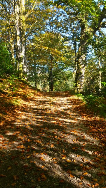
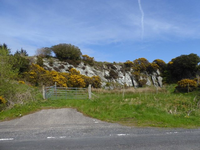
Dippen Wood is a picturesque forest located in Argyllshire, Scotland. Covering an area of approximately 100 acres, this woodland is known for its diverse range of flora and fauna, making it a popular destination for nature enthusiasts and hikers.

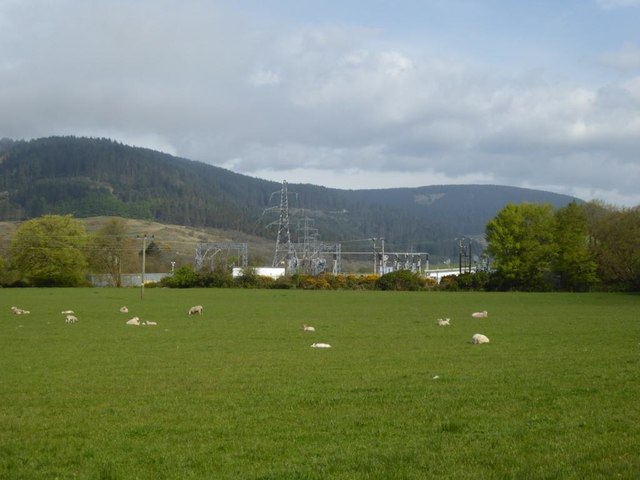
The wood is primarily composed of native tree species such as oak, birch, and hazel, creating a lush and vibrant ecosystem. The dense canopy provides ample shade, making it an ideal habitat for a variety of wildlife including red squirrels, deer, and numerous bird species.

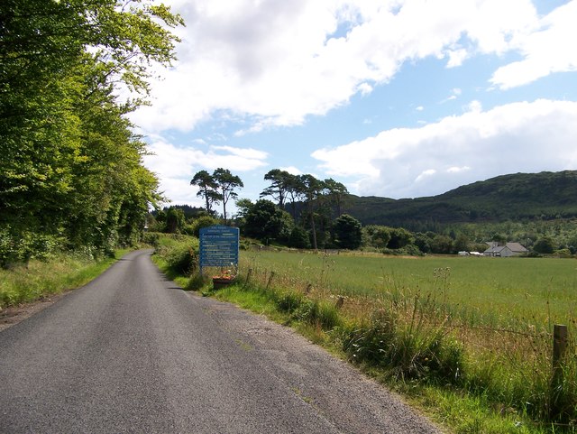
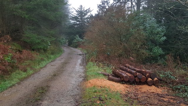
Visitors to Dippen Wood can explore a network of well-maintained trails that wind through the forest, offering stunning views of the surrounding countryside. The tranquil atmosphere and peaceful surroundings make it a perfect spot for a leisurely stroll or a relaxing picnic.

In addition to its natural beauty, Dippen Wood also holds historical significance, with remnants of ancient settlements and stone circles scattered throughout the area. This adds an extra layer of intrigue for those interested in the rich history of the region.

Overall, Dippen Wood is a hidden gem in Argyllshire, offering a peaceful retreat for those looking to connect with nature and immerse themselves in the beauty of the Scottish countryside.

If you have any feedback on the listing, please let us know in the comments section below.
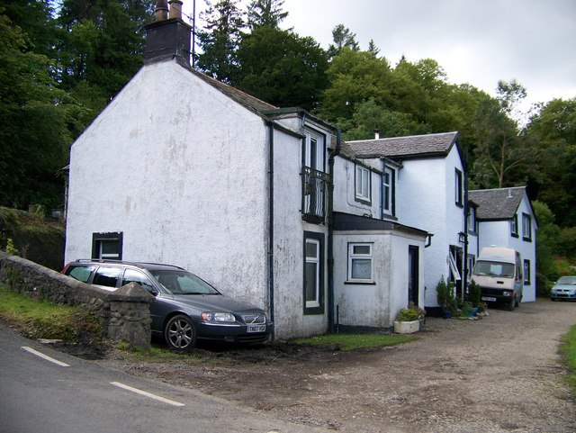
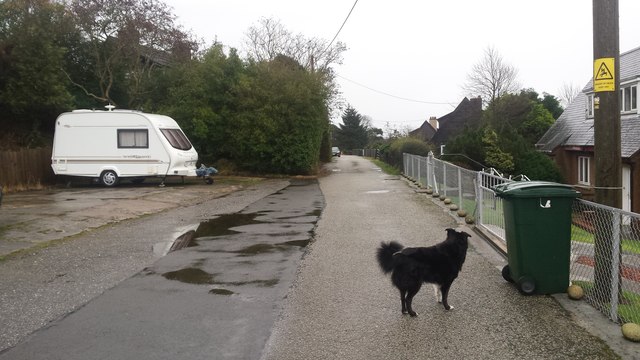
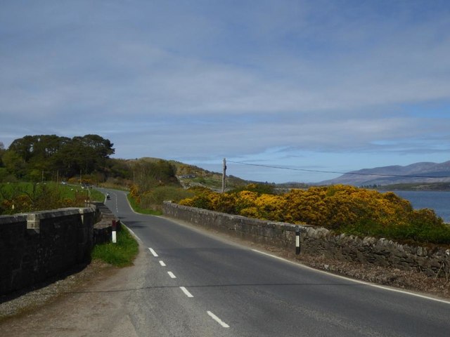
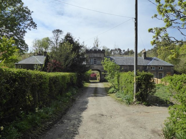
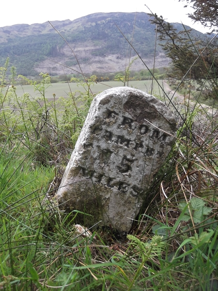
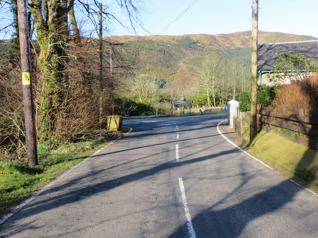
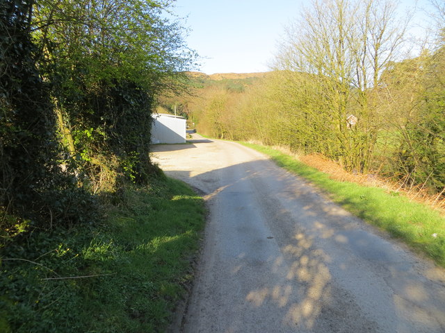
Dippen Wood Images

Images are sourced within 2km of 55.580394/-5.4939491 or Grid Reference NR7937. Thanks to Geograph Open Source API. All images are credited.

Track Through Castle Wood As small as the Torrisdale estate is, there are still some lovely woodland walks.  This particular track passes, what I consider to be, the rear of the castle and on down to the walled garden.
Track Through Castle Wood
As small as the Torrisdale estate is, there are still some lovely woodland walks. This particular track passes, what I consider to be, the rear of the castle and on down to the walled garden.
The Glen Bar & Restaurant on the B842 at Bridgend
Carradale junction on the B842
Approaching Carradale from the north
Bridgend near Carradale, Kintyre
B842 approaching Torrisdale
Toshs Park Carradale Former forestry workers houses. Noon on Xmas Day 2017
Toshs Park Carradale
Former forestry workers houses. Noon on Xmas Day 2017
Bridge over the Torrisdale Water
Torrisdale Square, Kintyre
Disused quarry by the B842
Substation and sheep at Moineruadh
Torrisdale Water Taken at sunrise from the bridge of the B842 at Torrisdale
Torrisdale Water
Taken at sunrise from the bridge of the B842 at Torrisdale
Midday Xmas 2018 Looking down the old Rhonadale forestry road from my house.  The logs are in a part of my property and are an excess of winter fuel.
Midday Xmas 2018
Looking down the old Rhonadale forestry road from my house. The logs are in a part of my property and are an excess of winter fuel.
Old Milestone by the B842, Torrisdale, Saddell and Skipness parish Stone post by the B842, East side of road, in parish of Saddell and Skipness (Kintyre District), Torrisdale, Kintyre, North of the bay.

Inscription reads:-
FROM
CAMPBN
13
MILES
Carved bench mark on top.

Surveyed

Milestone Society National ID: AB_CTCN13
Old Milestone by the B842, Torrisdale, Saddell and Skipness parish
Stone post by the B842, East side of road, in parish of Saddell and Skipness (Kintyre District), Torrisdale, Kintyre, North of the bay. Inscription reads:- FROM CAMPBN 13 MILES Carved bench mark on top. Surveyed Milestone Society National ID: AB_CTCN13
Old Milestone by the B842, Moineruadh Wood, north of Bridgend Milestone by the B842, in parish of Saddell and Skipness (Kintyre District), North of Bridgend and Carradale, on verge 0.25 mile North of Electricity Sub-station.

Inscription reads:-
FROM
CAMPBᴺ
15
MILES

Surveyed

Milestone Society National ID: AB_CTCN15
Old Milestone by the B842, Moineruadh Wood, north of Bridgend
Milestone by the B842, in parish of Saddell and Skipness (Kintyre District), North of Bridgend and Carradale, on verge 0.25 mile North of Electricity Sub-station. Inscription reads:- FROM CAMPBᴺ 15 MILES Surveyed Milestone Society National ID: AB_CTCN15
Road (B879) from Carradale joining the Campbeltown to Tarbert road (B842) at Tosh's Park Looking westward. Left to Campbeltown, right to Tarbert and behind is Carradale.
Road (B879) from Carradale joining the Campbeltown to Tarbert road (B842) at Tosh's Park
Looking westward. Left to Campbeltown, right to Tarbert and behind is Carradale.
Road from Waterfoot to Dippen and Bridgend at Carradale Looking westward
Road from Waterfoot to Dippen and Bridgend at Carradale
Looking westward
Torrisdale Bay (North) Looking north-eastward towards Dippen Bay.
Torrisdale Bay (North)
Looking north-eastward towards Dippen Bay.
Show me another place!

Dippen Wood is located at Grid Ref: NR7937 (Lat: 55.580394, Lng: -5.4939491)

Unitary Authority: Argyll and Bute

Police Authority: Argyll and West Dunbartonshire

What 3 Words

///stem.glitz.taxpayers. Near Blackwaterfoot, North Ayrshire

Related Wikis

Carradale House, Argyll and Bute

Carradale House is a Grade B listed mansion house near Carradale, Argyll and Bute, Scotland. Built in the 17th century, the house was extended in 1844...

Torrisdale, Argyll

Torrisdale is a small village on the eastern coast of the Kintyre Peninsula of Scotland. The village is along Torrisdale Bay, an inlet of the Kilbrannan...
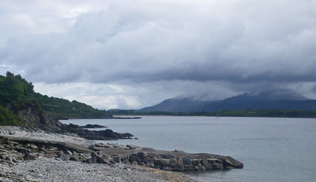
Dippen Bay

Dippen Bay is an embayment along Kilbrannan Sound on the east coast of the Kintyre Peninsula in Scotland. Coastal erosion has been documented at Dippen...

Dippen, Argyll

Dippen (Scottish Gaelic: Duipinn) is a hamlet on the east coast of the Kintyre Peninsula in Scotland. The community of Dippen is in close proximity to...

Nearby Amenities

Located within 500m of 55.580394,-5.4939491
Source: PGS
Lat/Long: 55.5790253/-5.4884531
Source: PGS
Lat/Long: 55.5788313/-5.4878415
Source: PGS
Lat/Long: 55.5788798/-5.4873373
Source: PGS
Lat/Long: 55.5789525/-5.4867472
Bridgend
Place: hamlet
Lat/Long: 55.581932/-5.4962544
Cnoc na Dippen
Corbett: no
Ele: 149
Graham: no
Marilyn: no
Munro: no
Natural: peak
Lat/Long: 55.5771828/-5.4984869
Power: pole
Lat/Long: 55.5800701/-5.5008084
Power: pole
Lat/Long: 55.5794394/-5.4992366
Power: pole
Lat/Long: 55.5789284/-5.4979411
Power: pole
Lat/Long: 55.5785084/-5.496887
Power: pole
Lat/Long: 55.576971/-5.4953554
Power: pole
Lat/Long: 55.5764418/-5.4947519
Power: pole
Lat/Long: 55.5761795/-5.4941404
Power: pole
Lat/Long: 55.5767451/-5.4943362
Power: pole
Lat/Long: 55.5773076/-5.4945132
Power: pole
Lat/Long: 55.5779217/-5.4949719
Power: pole
Lat/Long: 55.5784038/-5.4951355
Power: pole
Lat/Long: 55.578933/-5.4953152
Power: pole
Lat/Long: 55.5794924/-5.495503
Power: pole
Lat/Long: 55.5799215/-5.4964685
Power: pole
Lat/Long: 55.5807508/-5.4982334
Power: pole
Lat/Long: 55.5814088/-5.4996496
Power: pole
Lat/Long: 55.5818439/-5.5006041
Power: pole
Lat/Long: 55.5808069/-5.4903217
Power: pole
Lat/Long: 55.581737/-5.4905457
Power: pole
Lat/Long: 55.582285/-5.4907294
Power: pole
Lat/Long: 55.5826486/-5.490847
Power: pole
Lat/Long: 55.5821309/-5.49454
Power: pole
Lat/Long: 55.5824417/-5.4948554
Power: pole
Lat/Long: 55.5828621/-5.4938493
Power: pole
Lat/Long: 55.5832681/-5.4928613
Power: pole
Lat/Long: 55.5838482/-5.4934945
Power: pole
Lat/Long: 55.5848797/-5.4945675
Power: pole
Lat/Long: 55.5844885/-5.4957589
Power: pole
Lat/Long: 55.5842174/-5.4958345
Power: pole
Lat/Long: 55.5803283/-5.4973342
Power: pole
Lat/Long: 55.5805136/-5.4967116
Power: pole
Lat/Long: 55.5805918/-5.4964951
Power: pole
Lat/Long: 55.5808467/-5.4957206
Power: pole
Lat/Long: 55.5816975/-5.4930954
Power: pole
Lat/Long: 55.5821641/-5.4916796
Power: pole
Lat/Long: 55.5825221/-5.4888778
Generator Source: solar
Power: generator
Lat/Long: 55.5842051/-5.4959375
The data included in this document is from www.openstreetmap.org. The data is made available under ODbL.

Have you been to Dippen Wood?

Leave your review of Dippen Wood below (or comments, questions and feedback).