Upper Garth Wood
Wood, Forest in Flintshire
Wales
Upper Garth Wood
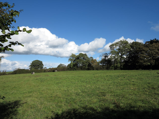
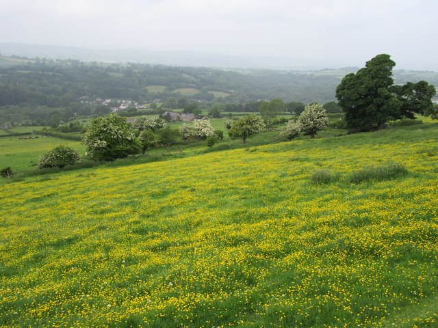
Upper Garth Wood is a picturesque woodland located in Flintshire, Wales. It covers an area of approximately 40 hectares and is a designated Site of Special Scientific Interest (SSSI). The wood is situated within the Clwydian Range and Dee Valley Area of Outstanding Natural Beauty, showcasing its remarkable natural beauty.
The wood is predominantly composed of broadleaved trees, including oak, ash, beech, and birch. These trees create a dense and diverse canopy, providing a habitat for a wide array of flora and fauna. Bluebells, primroses, and wild garlic are just a few examples of the stunning wildflowers that carpet the woodland floor during the spring months.
Upper Garth Wood is also home to a variety of wildlife species. Bird enthusiasts can spot woodpeckers, buzzards, and nuthatches, while small mammals such as squirrels, badgers, and foxes can be observed throughout the year. The wood is also known for its rich insect population, with butterflies, bees, and beetles adding to the vibrant ecosystem.
The wood offers several walking trails, allowing visitors to explore its natural wonders. These paths meander through the woodland, offering breathtaking views of the surrounding countryside. The tranquil atmosphere and the sound of birdsong make Upper Garth Wood a perfect destination for nature lovers and those seeking a peaceful retreat.
Overall, Upper Garth Wood in Flintshire is a haven of natural beauty, offering a diverse range of flora and fauna. Its designation as an SSSI signifies its importance for conservation, making it a must-visit destination for anyone interested in exploring the wonders of nature.
If you have any feedback on the listing, please let us know in the comments section below.
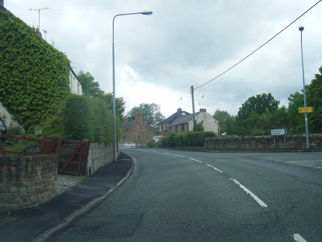
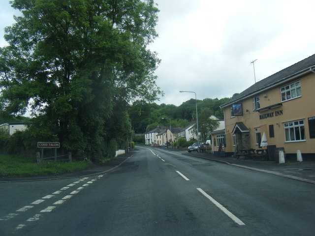
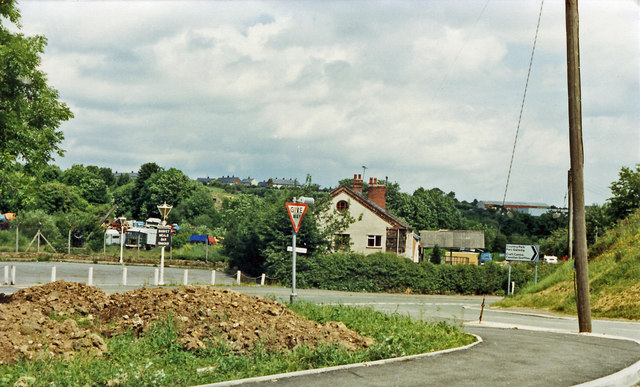
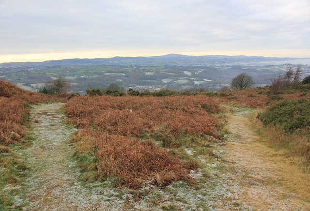
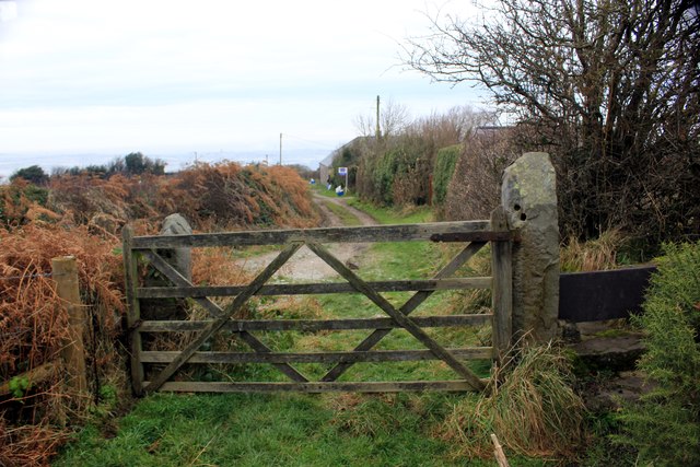
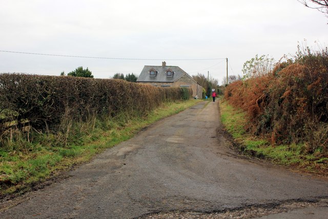
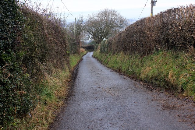
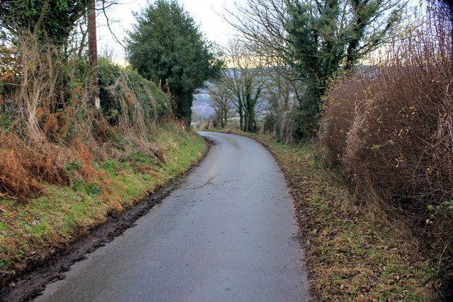
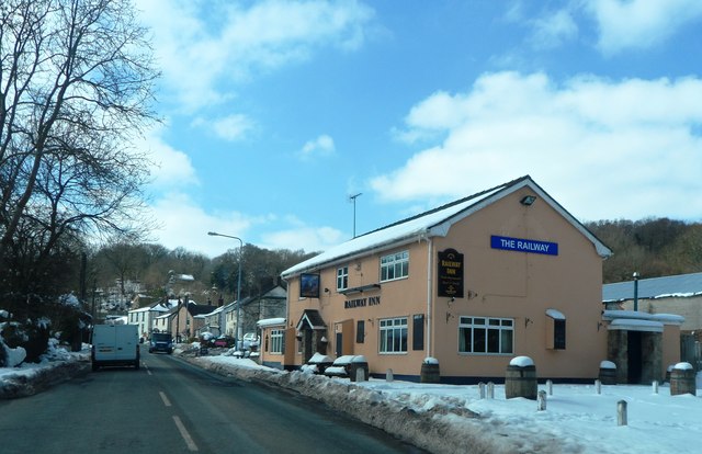
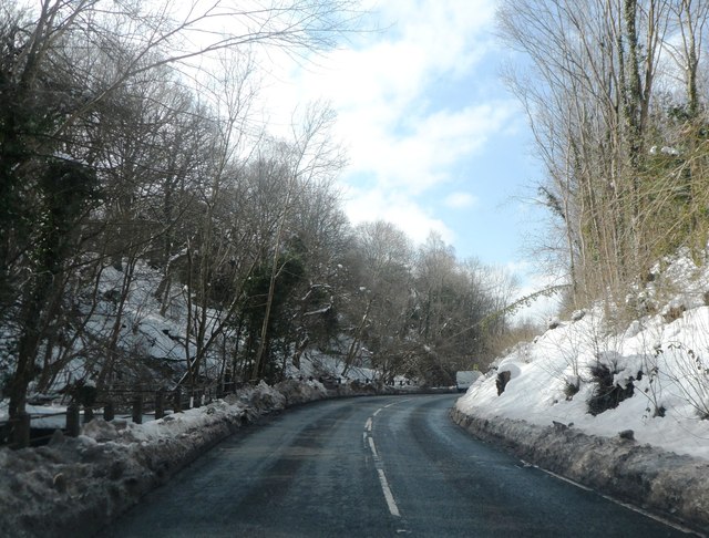
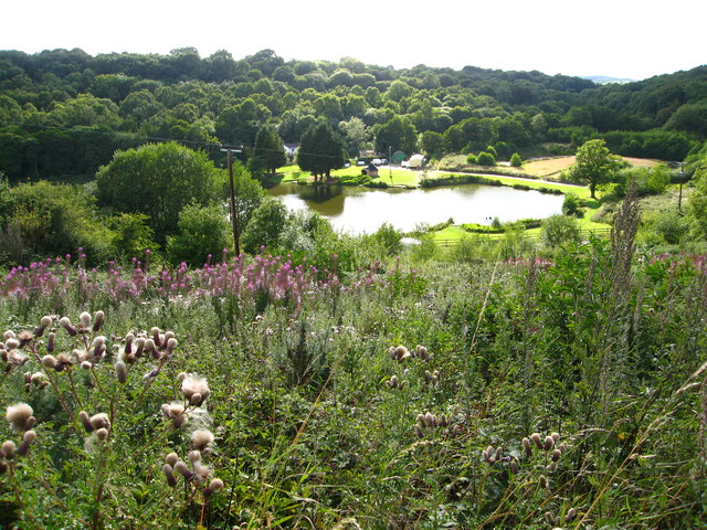
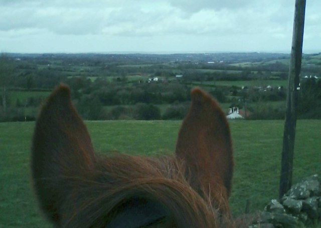
Upper Garth Wood Images
Images are sourced within 2km of 53.131849/-3.0731565 or Grid Reference SJ2859. Thanks to Geograph Open Source API. All images are credited.
Upper Garth Wood is located at Grid Ref: SJ2859 (Lat: 53.131849, Lng: -3.0731565)
Unitary Authority: Flintshire
Police Authority: North Wales
What 3 Words
///period.thud.trials. Near Leeswood, Flintshire
Nearby Locations
Related Wikis
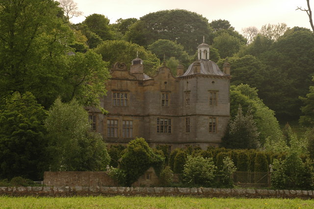
Plas Teg
Plas Teg is a Grade I listed Jacobean house in Wales. It is near the village of Pontblyddyn in Flintshire, between Wrexham and Mold. It is considered to...

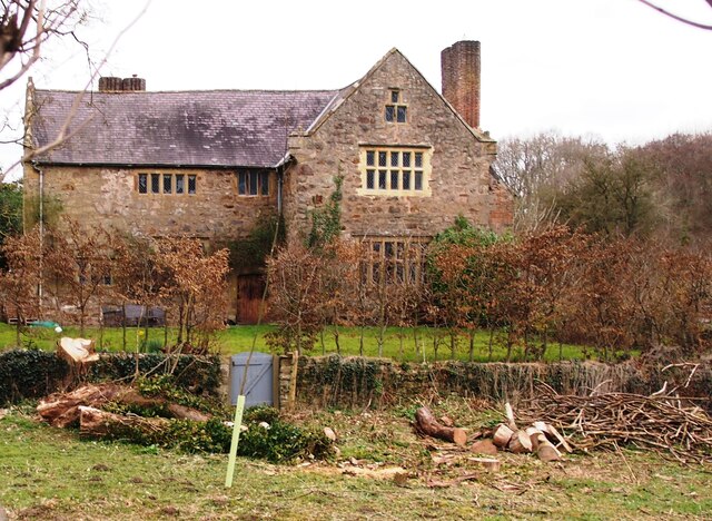
Fferm
Fferm (Welsh for "farm") Farmhouse is a small Elizabethan manor house, located to the east of Pontblyddyn in the county of Flintshire, Wales. It is listed...

Pontblyddyn
Pontblyddyn is a small village outside Leeswood, in Flintshire, Wales and is situated around 8 miles from Wrexham. Plas Teg, one of the most important...

Leeswood
Leeswood (Welsh: Coed-llai) is a village, community and electoral ward in Flintshire, Wales, about four miles from the historic market town of Mold. At...
Nearby Amenities
Located within 500m of 53.131849,-3.0731565Have you been to Upper Garth Wood?
Leave your review of Upper Garth Wood below (or comments, questions and feedback).