Sandhole Wood
Wood, Forest in Flintshire
Wales
Sandhole Wood
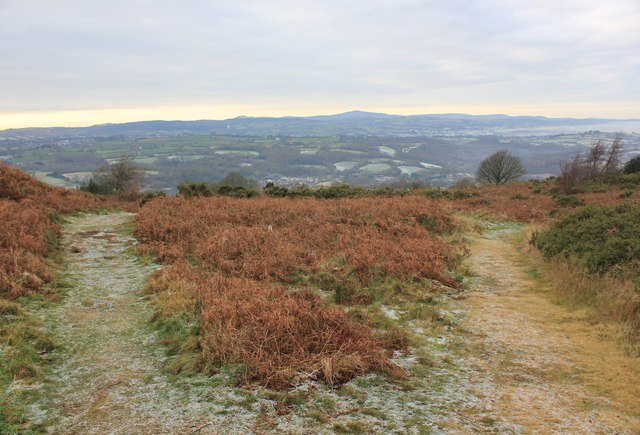
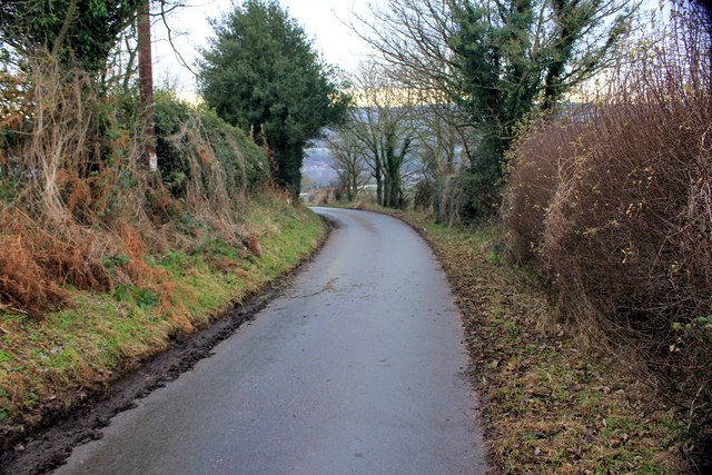
Sandhole Wood is a picturesque woodland located in Flintshire, Wales. Covering an area of approximately 50 acres, it is a natural haven for wildlife and a popular destination for nature lovers and outdoor enthusiasts alike.
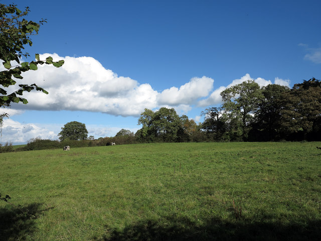
The wood is predominantly made up of broadleaf trees, such as oak, beech, and birch, which create a diverse and enchanting landscape. The canopy of leaves provides a sheltered and tranquil atmosphere, making it a perfect retreat for those seeking solace in nature.
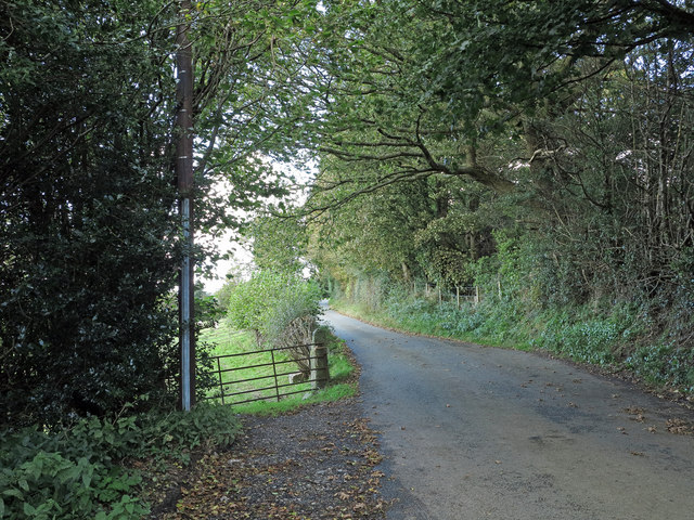
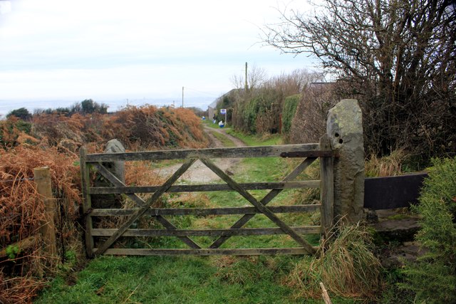
The wood is intersected by several well-maintained footpaths, enabling visitors to explore its hidden treasures. These paths wind their way through the wood, offering glimpses of wildflowers, ferns, and mosses that flourish in the undergrowth. The gentle rustling of leaves and the songs of birds create a symphony of sounds, enhancing the sense of serenity.
Sandhole Wood is also home to a variety of wildlife. Squirrels, rabbits, and hedgehogs are commonly spotted, while birdwatchers may be fortunate enough to catch a glimpse of woodpeckers, thrushes, or even the elusive tawny owl. The wood provides a vital habitat for these creatures, offering shelter, food, and breeding grounds.
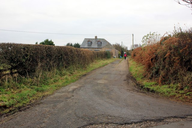
The wood is accessible to the public and provides amenities such as picnic areas and benches, allowing visitors to relax and enjoy the natural surroundings. It is a popular spot for walking, jogging, and dog walking, with designated areas for off-leash play.
Sandhole Wood is a true gem, offering a peaceful escape from the hustle and bustle of everyday life. Its natural beauty and diverse wildlife make it a must-visit destination for those seeking a connection with nature in the heart of Flintshire.
If you have any feedback on the listing, please let us know in the comments section below.
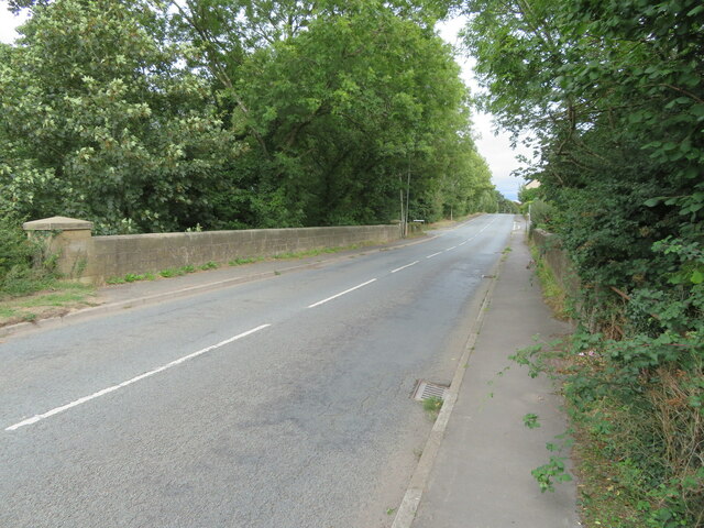
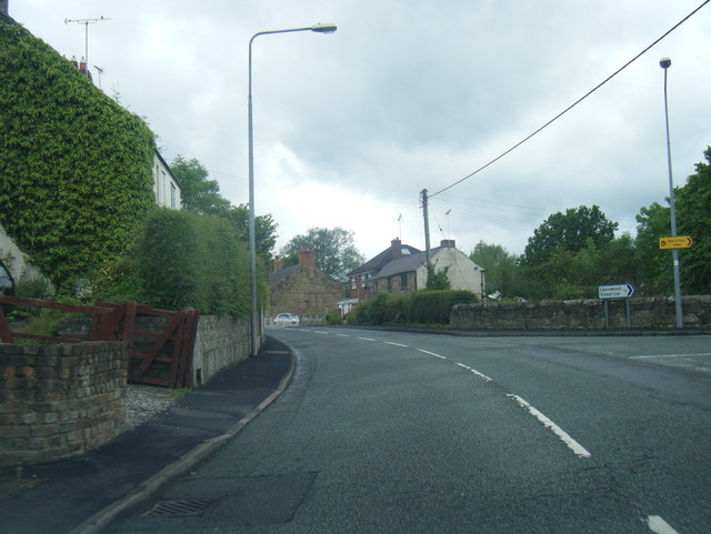
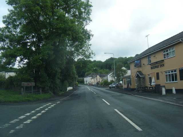
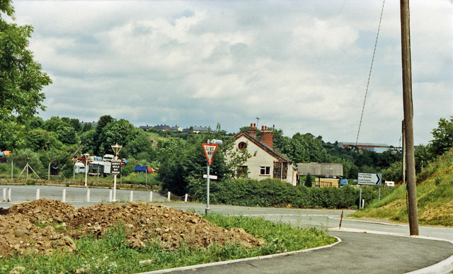
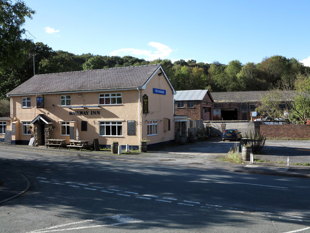
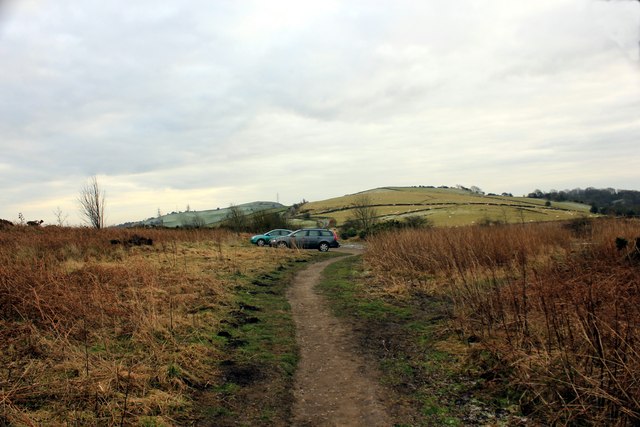
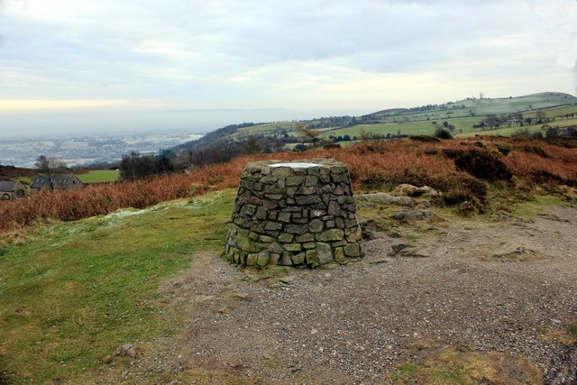
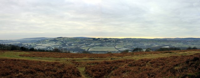
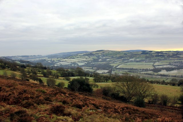
Sandhole Wood Images
Images are sourced within 2km of 53.12966/-3.068663 or Grid Reference SJ2859. Thanks to Geograph Open Source API. All images are credited.
Sandhole Wood is located at Grid Ref: SJ2859 (Lat: 53.12966, Lng: -3.068663)
Unitary Authority: Flintshire
Police Authority: North Wales
What 3 Words
///straddled.partied.playoffs. Near Leeswood, Flintshire
Nearby Locations
Related Wikis
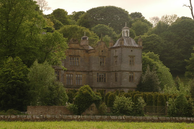
Plas Teg
Plas Teg is a Grade I listed Jacobean house in Wales. It is near the village of Pontblyddyn in Flintshire, between Wrexham and Mold. It is considered to...

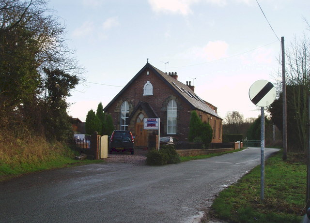
Fferm
Fferm (Welsh for "farm") Farmhouse is a small Elizabethan manor house, located to the east of Pontblyddyn in the county of Flintshire, Wales. It is listed...

Pontblyddyn
Pontblyddyn is a small village outside Leeswood, in Flintshire, Wales and is situated around 8 miles from Wrexham. Plas Teg, one of the most important...

Penyffordd railway station
Penyffordd railway station serves the village of Penyffordd in Flintshire, Wales. The station is 7¼ miles (12 km) north of Wrexham Central on the Borderlands...

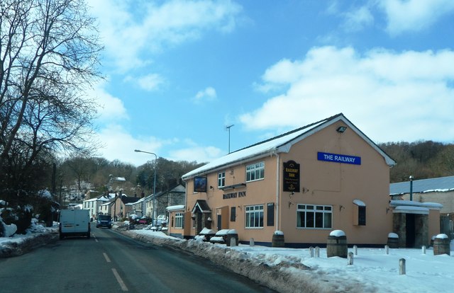
Leeswood
Leeswood (Welsh: Coed-llai) is a village, community and electoral ward in Flintshire, Wales, about four miles from the historic market town of Mold. At...

Coed Talon railway station
Coed Talon railway station was a station in Coed Talon, Flintshire, Wales. The station was opened on 1 January 1892, closed to passengers on 27 March 1950...
Coed Talon
Coed Talon (also spelt "Coed-talon") is a small, formerly industrial village between Leeswood and Treuddyn in Flintshire, Wales. Its name is derived from...

Hope Exchange railway station
Hope Exchange railway station was located to the west of Penyffordd, Flintshire. The station was in fields with no road access, being an interchange between...
Nearby Amenities
Located within 500m of 53.12966,-3.068663Have you been to Sandhole Wood?
Leave your review of Sandhole Wood below (or comments, questions and feedback).