Loxidge Wood
Wood, Forest in Monmouthshire
Wales
Loxidge Wood

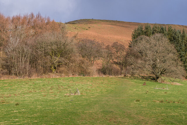
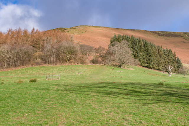
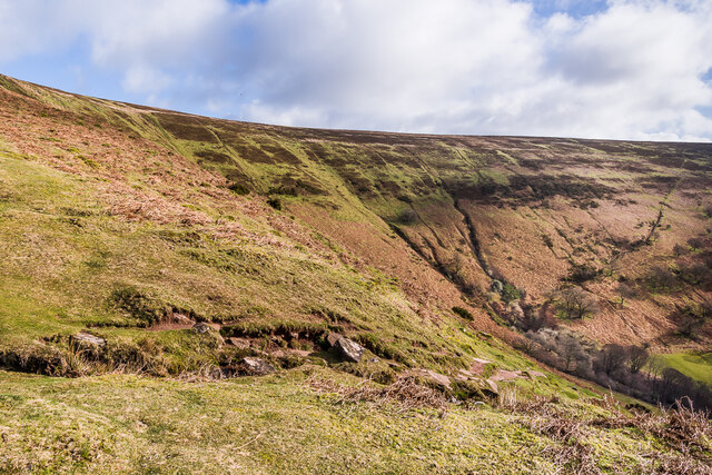
Loxidge Wood is a picturesque woodland located in Monmouthshire, a county in southeast Wales, United Kingdom. This enchanting forest spans an area of approximately 200 acres and is known for its abundant natural beauty and diverse ecosystem.
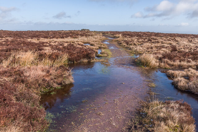
The wood is primarily composed of native broadleaved trees such as oak, beech, and ash, which create a dense and lush canopy that provides a haven for a wide variety of flora and fauna. The forest floor is adorned with an array of wildflowers, including bluebells and wood anemones, which flourish during the spring months, adding a burst of color to the woodland.
Loxidge Wood is home to a rich and diverse wildlife population. Visitors may spot native species such as badgers, foxes, and rabbits, as well as a multitude of bird species, including woodpeckers, tits, and warblers. The wood also attracts a variety of butterflies, making it a haven for nature enthusiasts and photographers.
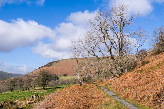
The wood offers a network of well-maintained footpaths, allowing visitors to explore the forest at their own pace. These paths wind through towering trees, across babbling brooks, and past tranquil ponds, providing a peaceful and immersive experience in nature. The wood also features a picnic area, making it an ideal spot for a family day out or a leisurely lunch surrounded by the sounds of the forest.
Loxidge Wood, with its pristine beauty and abundant wildlife, offers visitors an opportunity to escape the hustle and bustle of everyday life and immerse themselves in the tranquility of nature. Whether it's a leisurely walk, birdwatching, or simply enjoying a picnic, this woodland is a hidden gem that should not be missed.
If you have any feedback on the listing, please let us know in the comments section below.
Loxidge Wood Images
Images are sourced within 2km of 51.950149/-3.0401717 or Grid Reference SO2828. Thanks to Geograph Open Source API. All images are credited.


Loxidge Wood is located at Grid Ref: SO2828 (Lat: 51.950149, Lng: -3.0401717)
Unitary Authority: Monmouthshire
Police Authority: Gwent
What 3 Words
///sprint.important.sifts. Near Llanveynoe, Herefordshire
Nearby Locations
Related Wikis
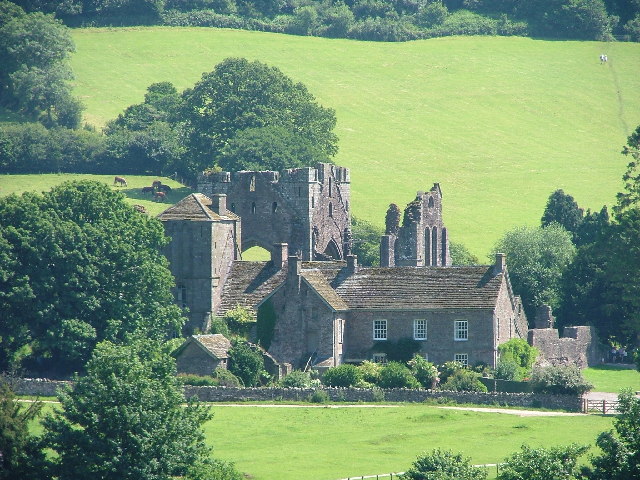
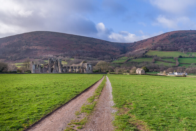
Llanthony
Llanthony (, Welsh: Llanddewi Nant Honddu Welsh pronunciation: [ɬanˈtoːniː]) is a village in the community of Crucorney on the northern edge of Monmouthshire...

Court Farm Barn, Llanthony Priory
Court Farm Barn, Llanthony Priory, Monmouthshire, is a barn of late medieval origins that forms part of a group of historic buildings in the priory complex...

Abbey Hotel, Llanthony Priory
Abbey Hotel (also known as the Llanthony Priory Hotel) is a Grade I listed building incorporating a hotel and country inn in Llanthony, Monmouthshire,...

Court Farmhouse, Llanthony
Court Farmhouse, Llanthony, Monmouthshire is a farmhouse of late medieval origins. It may have originally been lodgings for the Prior of Llanthony. Following...
Nearby Amenities
Located within 500m of 51.950149,-3.0401717Have you been to Loxidge Wood?
Leave your review of Loxidge Wood below (or comments, questions and feedback).