Church Wood
Wood, Forest in Monmouthshire
Wales
Church Wood

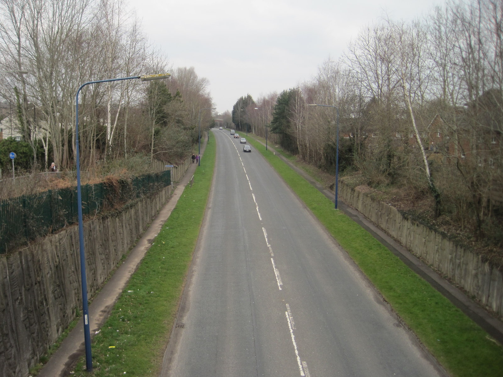
Church Wood is a picturesque woodland located in Monmouthshire, Wales. It covers an area of approximately 40 hectares and is situated near the village of Trellech, about 5 miles north of Monmouth. The wood is known for its diverse range of tree species, including oak, beech, ash, and hazel, creating a rich and vibrant ecosystem.
The woodland is managed by the Forestry Commission and offers visitors a tranquil environment to explore and enjoy nature. A network of well-maintained footpaths and trails wind through the wood, providing opportunities for walking, hiking, and wildlife spotting. The area is particularly popular among birdwatchers, as it is home to a variety of bird species, such as woodpeckers, thrushes, and owls.
In addition to its natural beauty, Church Wood also has historical significance. The remains of a medieval chapel, believed to date back to the 12th century, can be found within the woodland. This adds an air of intrigue and fascination to the site, attracting history enthusiasts and those interested in local heritage.
Visitors to Church Wood can expect a peaceful and serene atmosphere, with the sounds of birdsong and rustling leaves filling the air. The wood is well-maintained, with benches and picnic areas scattered throughout, providing perfect spots for relaxation and contemplation.
Overall, Church Wood in Monmouthshire offers a delightful blend of natural beauty, historical interest, and recreational opportunities, making it a popular destination for nature lovers, history buffs, and those seeking a peaceful escape from the hustle and bustle of everyday life.
If you have any feedback on the listing, please let us know in the comments section below.
Church Wood Images
Images are sourced within 2km of 51.65739/-3.0331355 or Grid Reference ST2895. Thanks to Geograph Open Source API. All images are credited.


Church Wood is located at Grid Ref: ST2895 (Lat: 51.65739, Lng: -3.0331355)
Unitary Authority: Torfaen
Police Authority: Gwent
What 3 Words
///unwanted.glad.pies. Near Cwmbran, Torfaen
Nearby Locations
Related Wikis
Upper Pontnewydd railway station
Upper Pontnewydd railway station in Pontnewydd village, Cwmbran in Torfaen, South Wales, UK was part of the Monmouthshire Railway and Canal Company's...

Cwmbran Centre
Cwmbran Centre is a shopping centre, office and leisure complex in the town of Cwmbran, Torfaen, Wales. Formerly named Cwmbran Shopping, it was officially...

Cwmbran
Cwmbran ( kuum-BRAHN, koom-; Welsh: Cwmbrân [kʊmˈbraːn], also in use as an alternative spelling in English) is a town in the county borough of Torfaen...
Pontnewydd
Pontnewydd is a suburb of Cwmbran in the county borough of Torfaen, south-east Wales. It should not be confused with Pontnewynydd in nearby Pontypool....

St Dials
St Dials is a suburb of Cwmbran in the county borough of Torfaen, in south-east Wales. == History == Nothing is known about the Saint after which the suburb...
Greenmeadow
Greenmeadow is a suburb of Cwmbran in the county borough of Torfaen, within the historic county boundaries of Monmouthshire, southern Wales, United Kingdom...
Cwmbran Central
Cwmbran Central is a community in the new town of Cwmbran, Torfaen, South Wales. It had a population of 9,947 as of the 2011 United Kingdom census. �...
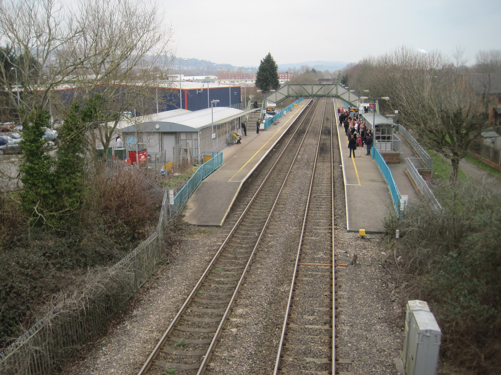
Cwmbran railway station
Cwmbran railway station (Welsh: Gorsaf Rheilffordd Cwmbrân) is in the northeast of Cwmbran town centre, within five minutes' walking distance. It is part...
Nearby Amenities
Located within 500m of 51.65739,-3.0331355Have you been to Church Wood?
Leave your review of Church Wood below (or comments, questions and feedback).