Tir-y-Fron
Settlement in Flintshire
Wales
Tir-y-Fron
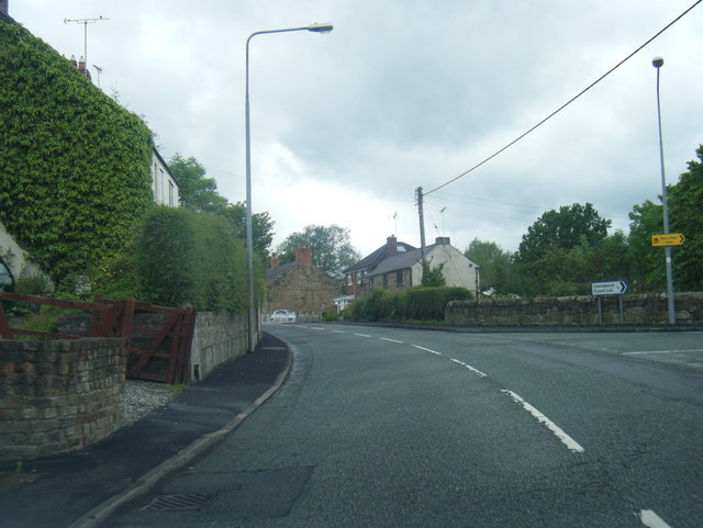
Tir-y-Fron is a small village located in the county of Flintshire, Wales. Situated approximately 7 miles southwest of the town of Mold, it is nestled within the scenic countryside of North Wales. The village has a population of around 500 residents, offering a close-knit community atmosphere.
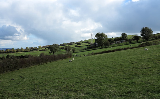
The name "Tir-y-Fron" translates to "land of the hill" in English, which aptly reflects its picturesque surroundings. The village is surrounded by rolling hills and open fields, providing ample opportunities for outdoor activities and exploration.
Tir-y-Fron boasts a rich history, with evidence of human habitation dating back to the Bronze Age. The area is home to several historical landmarks, including the ruins of an ancient castle, which provide a glimpse into the village's past.
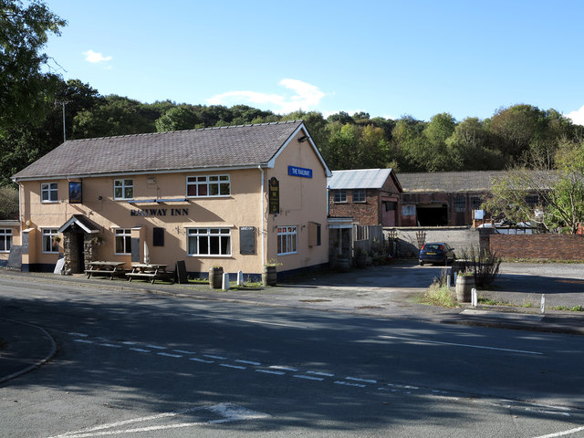
Although it is a small village, Tir-y-Fron offers a range of amenities to its residents. These include a local primary school, a community hall, and a pub, which serves as a popular meeting place for locals and visitors alike.
The village is well-connected to nearby towns and cities, with good transport links and access to major roads. This allows residents to enjoy the tranquility of rural living while remaining within easy reach of urban centers.
Overall, Tir-y-Fron is a charming village that combines natural beauty, a rich history, and a close-knit community, making it an attractive place to live for those seeking a peaceful and picturesque lifestyle in the heart of Flintshire.
If you have any feedback on the listing, please let us know in the comments section below.
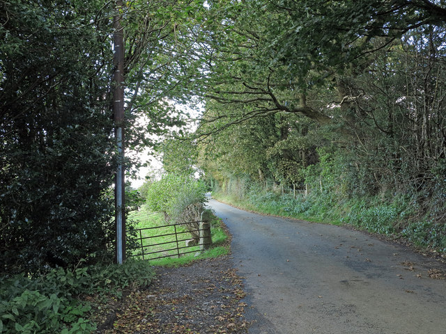
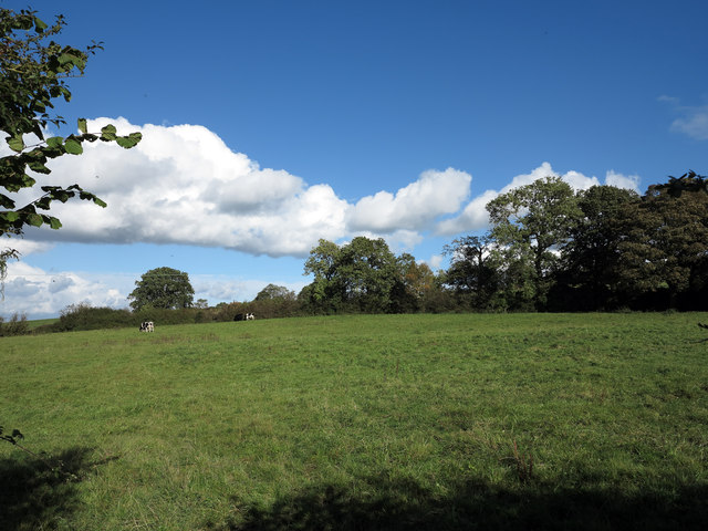
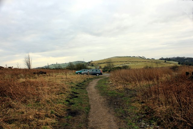
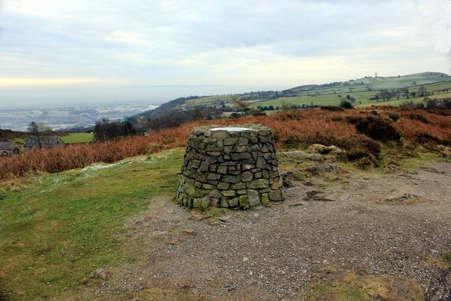
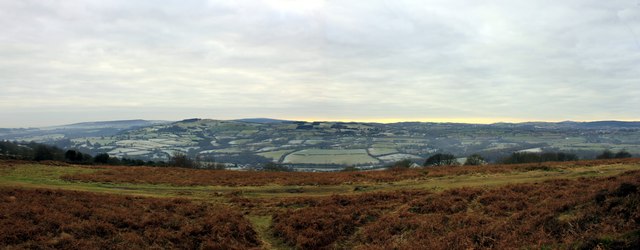
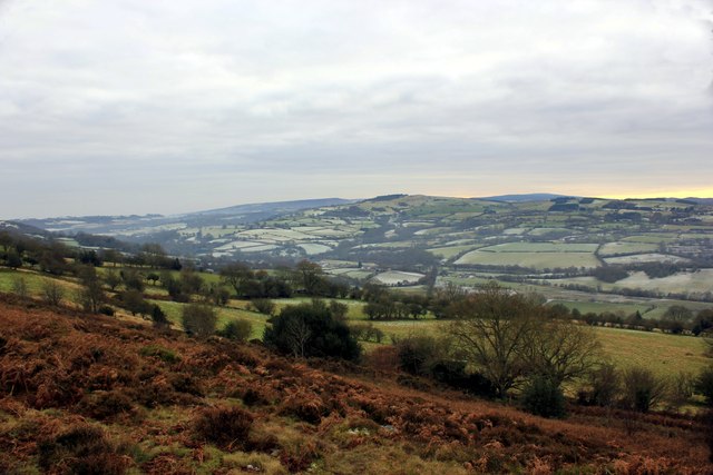
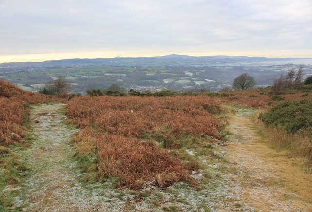
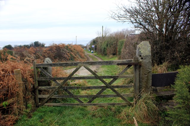
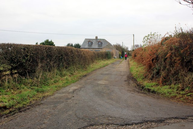
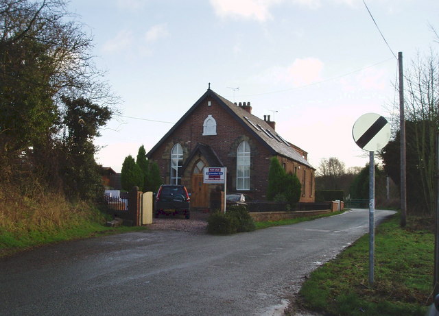
Tir-y-Fron Images
Images are sourced within 2km of 53.124461/-3.06547 or Grid Reference SJ2859. Thanks to Geograph Open Source API. All images are credited.
Tir-y-Fron is located at Grid Ref: SJ2859 (Lat: 53.124461, Lng: -3.06547)
Unitary Authority: Flintshire
Police Authority: North Wales
What 3 Words
///skim.acrobat.accompany. Near Hope, Flintshire
Nearby Locations
Related Wikis
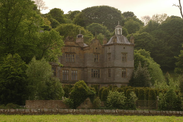
Plas Teg
Plas Teg is a Grade I listed Jacobean house in Wales. It is near the village of Pontblyddyn in Flintshire, between Wrexham and Mold. It is considered to...

Fferm
Fferm (Welsh for "farm") Farmhouse is a small Elizabethan manor house, located to the east of Pontblyddyn in the county of Flintshire, Wales. It is listed...

Pontblyddyn
Pontblyddyn is a small village outside Leeswood, in Flintshire, Wales and is situated around 8 miles from Wrexham. Plas Teg, one of the most important...
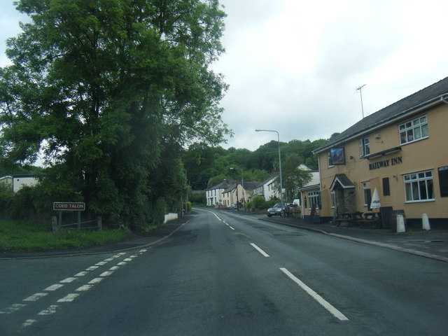
Coed Talon
Coed Talon (also spelt "Coed-talon") is a small, formerly industrial village between Leeswood and Treuddyn in Flintshire, Wales. Its name is derived from...

Coed Talon railway station
Coed Talon railway station was a station in Coed Talon, Flintshire, Wales. The station was opened on 1 January 1892, closed to passengers on 27 March 1950...

Hope railway station (Wales)
Hope railway station serves the village of Hope in Flintshire, Wales. The station is 5+1⁄4 miles (8.4 km) north of Wrexham Central on the Borderlands Line...

Penyffordd railway station
Penyffordd railway station serves the village of Penyffordd in Flintshire, Wales. The station is 7¼ miles (12 km) north of Wrexham Central on the Borderlands...

Leeswood
Leeswood (Welsh: Coed-llai) is a village, community and electoral ward in Flintshire, Wales, about four miles from the historic market town of Mold. At...
Nearby Amenities
Located within 500m of 53.124461,-3.06547Have you been to Tir-y-Fron?
Leave your review of Tir-y-Fron below (or comments, questions and feedback).