Tir-y-dail
Settlement in Carmarthenshire
Wales
Tir-y-dail

Tir-y-dail is a small village located in the county of Carmarthenshire, Wales. Nestled in the beautiful countryside, it is situated approximately 7 miles northeast of the town of Carmarthen. The village is surrounded by rolling hills and picturesque landscapes, offering a peaceful and idyllic setting.
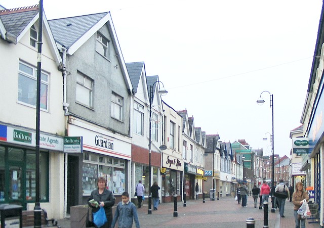
With a population of around 500 residents, Tir-y-dail is a close-knit community where neighbors know each other well. The village primarily consists of residential properties, with a handful of local amenities to cater to the needs of the residents. These include a local convenience store, a post office, and a community center.
The village is rich in history and heritage, with several ancient sites in close proximity. The nearby Dolaucothi Gold Mines, dating back to Roman times, attract tourists and history enthusiasts from all over. The area also offers opportunities for outdoor activities, such as hiking and cycling, with various trails and paths to explore.
Tir-y-dail benefits from a strong sense of community spirit, with regular events and activities organized by local groups and societies. These include annual festivals, sports tournaments, and charity fundraisers, which bring the residents together and foster a sense of camaraderie.
Overall, Tir-y-dail is a charming village that offers a tranquil lifestyle, breathtaking surroundings, and a tight-knit community. It is an ideal place for those seeking a peaceful retreat in the heart of the Carmarthenshire countryside.
If you have any feedback on the listing, please let us know in the comments section below.
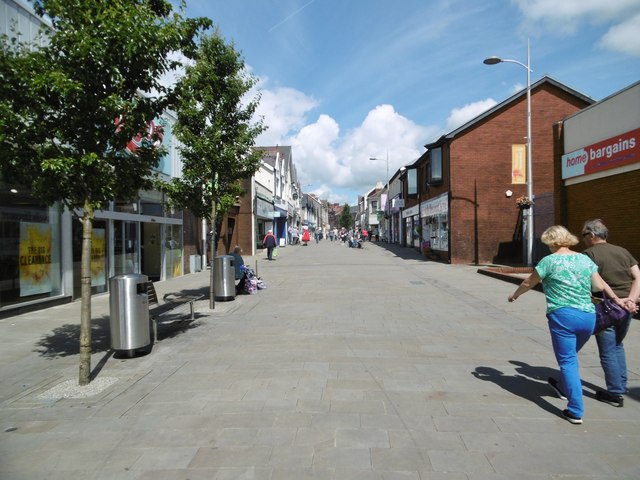
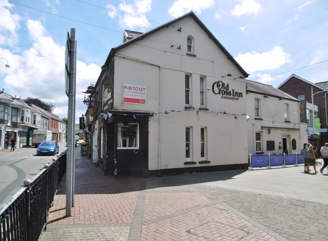
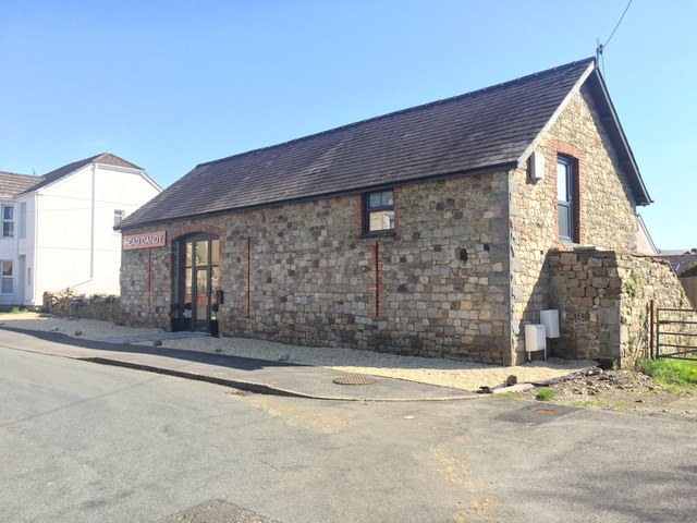
Tir-y-dail Images
Images are sourced within 2km of 51.799426/-3.997669 or Grid Reference SN6213. Thanks to Geograph Open Source API. All images are credited.


Tir-y-dail is located at Grid Ref: SN6213 (Lat: 51.799426, Lng: -3.997669)
Unitary Authority: Carmarthenshire
Police Authority: Dyfed Powys
What 3 Words
///costs.subsystem.pint. Near Ammanford, Carmarthenshire
Nearby Locations
Related Wikis
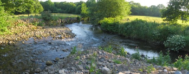
Afon Marlas
The Afon Marlas is a right-bank tributary of the River Loughor in eastern Carmarthenshire, West Wales. It rises north of the village of Llandybie and flows...
Ammanford
Ammanford (Welsh: Rhydaman) is a town and community in Carmarthenshire, Wales, with a population of 5,411 at the 2011 census. It is a former coal mining...
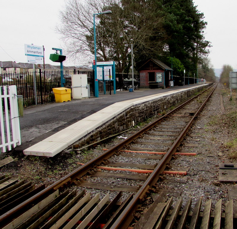
Ammanford railway station
Ammanford railway station in Ammanford, Carmarthenshire, Wales, is 12 miles (19 km) north of Swansea on the Heart of Wales Line. The station opened in...

All Saints Church, Ammanford
All Saints Church, Ammanford is an Anglican parish church in the town of Ammanford, Carmarthenshire, Wales. It was erected between 1911 and 1915 by W....

Ysgol Dyffryn Aman
Ysgol Dyffryn Aman is a bilingual (Welsh and English) comprehensive school and VI form. On average, it has about 2000 pupils. It is located on Margaret...

Bethany Chapel, Ammanford
Bethany was a Calvinistic Methodist/ Presbyterian Church of Wales chapel in Ammanford, Carmarthenshire, Wales from 1881 to 2023.Services were conducted...

Ammanford A.F.C.
Ammanford Association Football Club is a football club from Ammanford, Carmarthenshire in Wales. They play in the Cymru South. They are now based at the...
Ebeneser Chapel, Ammanford
Ebeneser is a Baptist chapel in Ammanford, Carmarthenshire, Wales. Services at Ebeneser are conducted in the Welsh language. == Early history == The chapel...
Nearby Amenities
Located within 500m of 51.799426,-3.997669Have you been to Tir-y-dail?
Leave your review of Tir-y-dail below (or comments, questions and feedback).