Aberlash
Settlement in Carmarthenshire
Wales
Aberlash

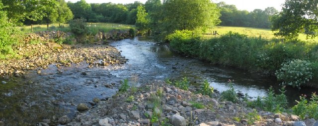
Aberlash is a small village located in the county of Carmarthenshire, Wales. Situated in the western part of the county, Aberlash is surrounded by picturesque countryside and boasts a peaceful and idyllic setting. The village is nestled along the banks of the River Towy, which adds to its natural charm.
The community of Aberlash is relatively small, with a population of around 300 residents. Despite its size, the village has a close-knit and friendly atmosphere. The residents take pride in their community and work together to maintain its beauty and heritage.
Aberlash is known for its rich history, with evidence of human settlement dating back to ancient times. The village is home to several historic landmarks, including St. David's Church, a beautiful medieval structure that stands as a testament to the area's religious heritage.
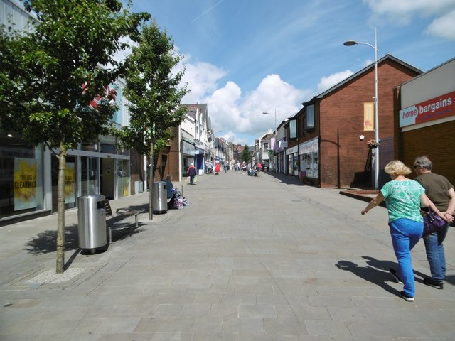
The village offers a range of amenities to its residents and visitors. There is a local pub, The Red Lion, where locals gather to socialize and enjoy traditional Welsh fare. Additionally, there are a few small shops and businesses that cater to the needs of the community.
For outdoor enthusiasts, Aberlash provides ample opportunities for exploration and recreation. The surrounding countryside offers stunning walking trails and cycling routes, allowing visitors to immerse themselves in the area's natural beauty.
In conclusion, Aberlash is a charming village in Carmarthenshire, Wales, known for its peaceful ambiance, rich history, and beautiful surroundings. It is a place where residents and visitors can enjoy the tranquility of rural life while appreciating the area's heritage and natural wonders.
If you have any feedback on the listing, please let us know in the comments section below.
Aberlash Images
Images are sourced within 2km of 51.802332/-4.001279 or Grid Reference SN6213. Thanks to Geograph Open Source API. All images are credited.


Aberlash is located at Grid Ref: SN6213 (Lat: 51.802332, Lng: -4.001279)
Unitary Authority: Carmarthenshire
Police Authority: Dyfed Powys
What 3 Words
///laminate.revolts.blizzard. Near Ammanford, Carmarthenshire
Nearby Locations
Related Wikis
Afon Marlas
The Afon Marlas is a right-bank tributary of the River Loughor in eastern Carmarthenshire, West Wales. It rises north of the village of Llandybie and flows...
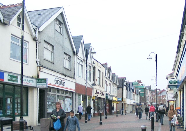
Ammanford
Ammanford (Welsh: Rhydaman) is a town and community in Carmarthenshire, Wales, with a population of 5,411 at the 2011 census. It is a former coal mining...
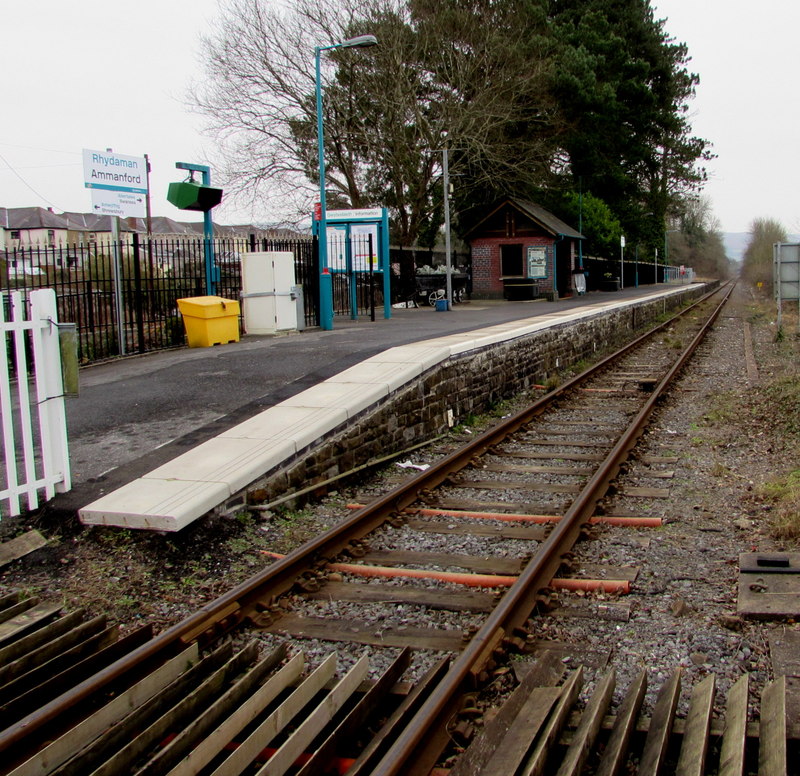
Ammanford railway station
Ammanford railway station in Ammanford, Carmarthenshire, Wales, is 12 miles (19 km) north of Swansea on the Heart of Wales Line. The station opened in...

All Saints Church, Ammanford
All Saints Church, Ammanford is an Anglican parish church in the town of Ammanford, Carmarthenshire, Wales. It was erected between 1911 and 1915 by W....

Ysgol Dyffryn Aman
Ysgol Dyffryn Aman is a bilingual (Welsh and English) comprehensive school and VI form. On average, it has about 2000 pupils. It is located on Margaret...

Ammanford A.F.C.
Ammanford Association Football Club is a football club from Ammanford, Carmarthenshire in Wales. They play in the Cymru South. They are now based at the...

Bethany Chapel, Ammanford
Bethany was a Calvinistic Methodist/ Presbyterian Church of Wales chapel in Ammanford, Carmarthenshire, Wales from 1881 to 2023.Services were conducted...
Ebeneser Chapel, Ammanford
Ebeneser is a Baptist chapel in Ammanford, Carmarthenshire, Wales. Services at Ebeneser are conducted in the Welsh language. == Early history == The chapel...
Nearby Amenities
Located within 500m of 51.802332,-4.001279Have you been to Aberlash?
Leave your review of Aberlash below (or comments, questions and feedback).