Aberlemno

Settlement in Angus

Scotland

Aberlemno

Bungalow, Craiksfolds
Bungalow, Craiksfolds Credit: JThomas

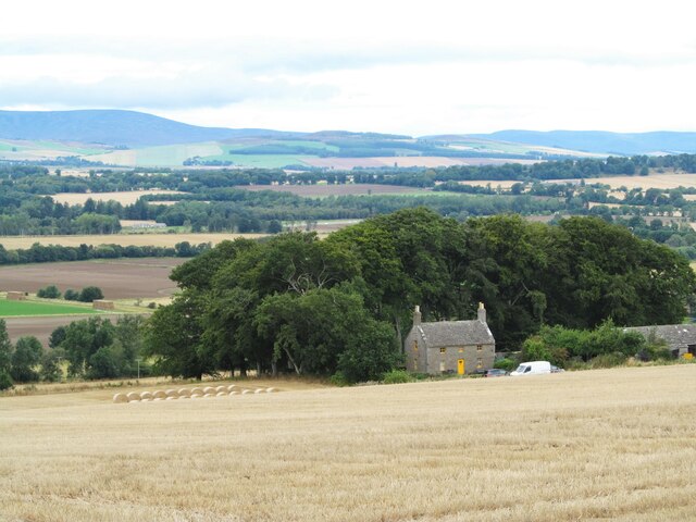
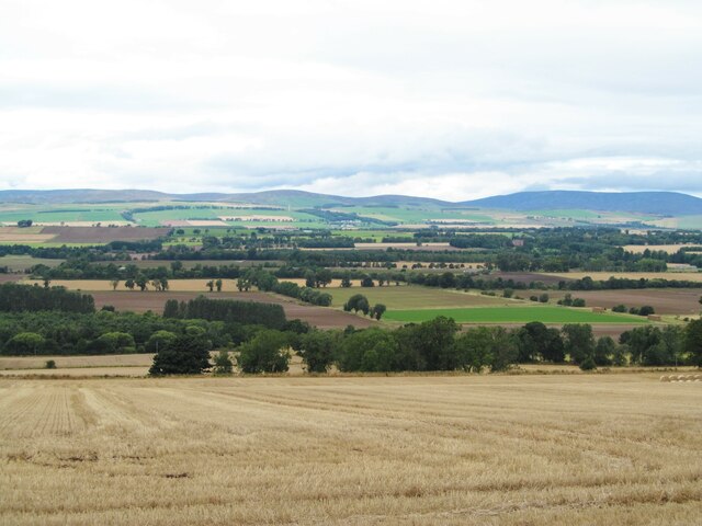
Aberlemno is a small village located in the Angus region of Scotland. Situated about 7 miles north of Forfar, it lies in the heart of the fertile Strathmore Valley. The village is surrounded by picturesque countryside, with rolling hills and farmland stretching as far as the eye can see.

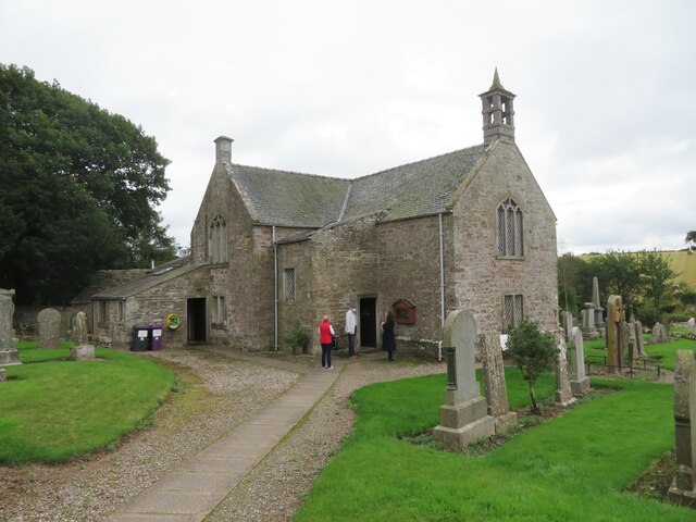
One of Aberlemno's notable features is the Aberlemno Sculptured Stones, a collection of ancient Pictish stones that date back to the 7th and 8th centuries. These impressive stones, which are located in and around the village, are adorned with intricate carvings depicting various scenes, including warriors, animals, and religious symbols. They provide a unique glimpse into the rich history and culture of the Picts, an ancient Celtic people who once inhabited this area.

Aberlemno is also home to a small but close-knit community. The village has a primary school, a local pub, and a few shops catering to the needs of its residents. Agriculture plays a significant role in the local economy, with many villagers involved in farming and related industries.

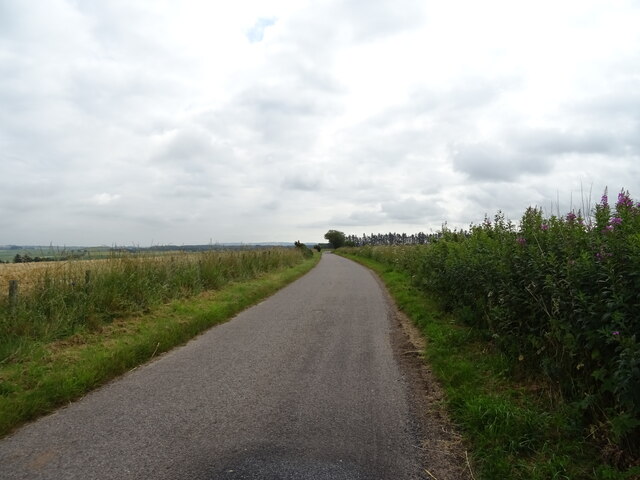
For those seeking outdoor activities, Aberlemno offers numerous opportunities for walks and hikes in the surrounding countryside. The nearby Angus Glens and the beautiful Lunan Bay are within easy reach, providing stunning natural landscapes to explore.

Overall, Aberlemno is a charming village with a rich historical heritage and an abundance of natural beauty. It is a place where tradition and community thrive, making it an appealing destination for visitors and a welcoming home for its residents.

If you have any feedback on the listing, please let us know in the comments section below.
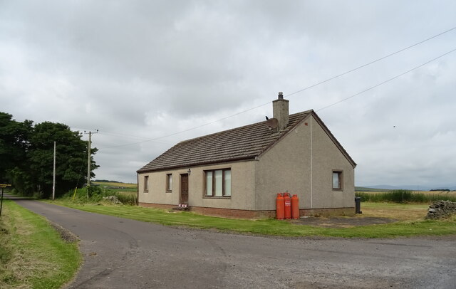
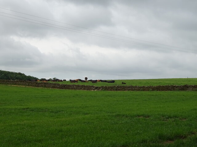
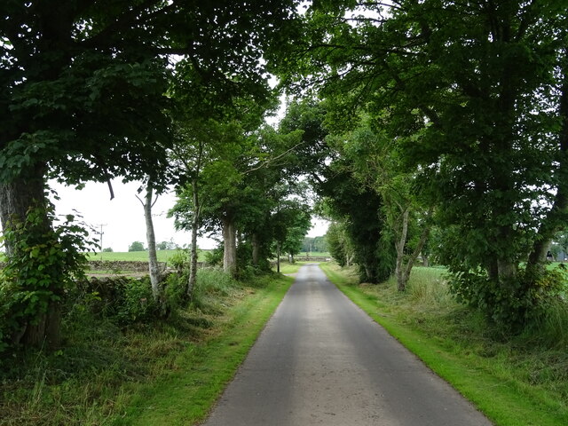
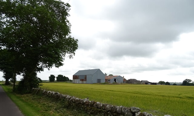
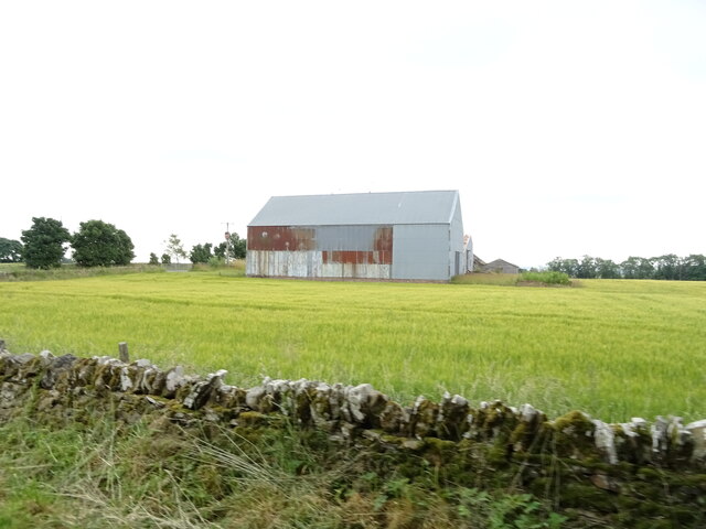
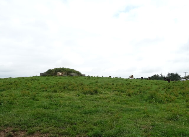
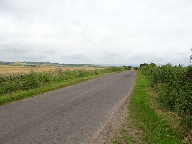
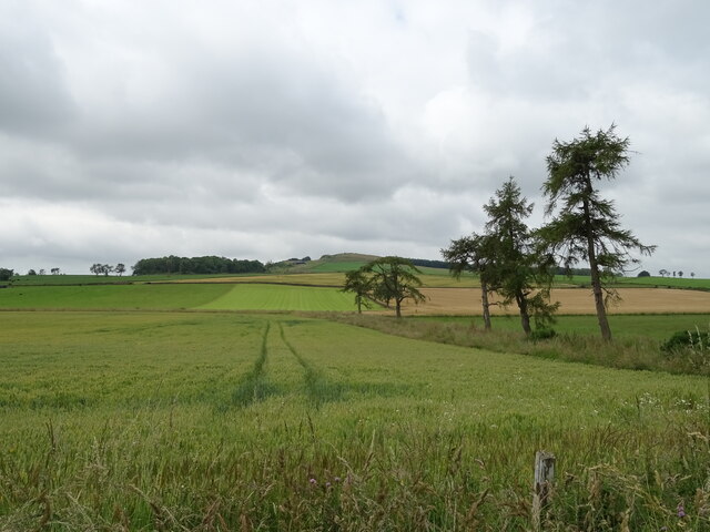
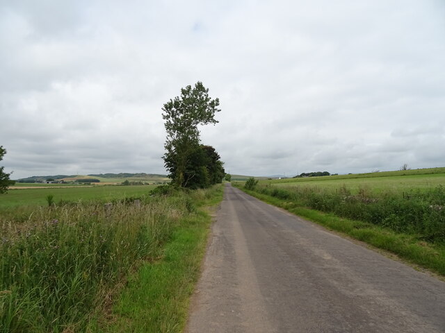
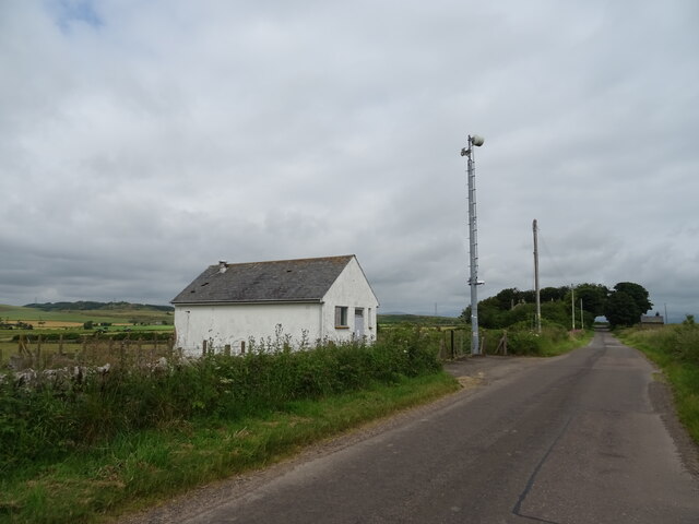
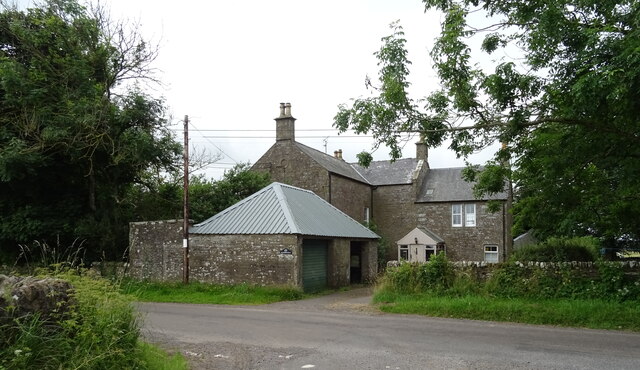
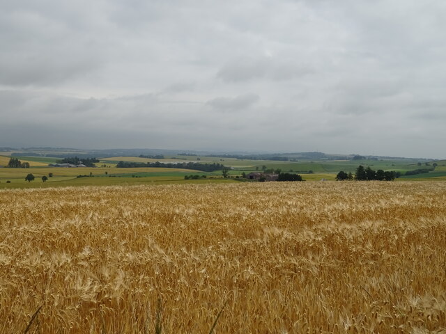
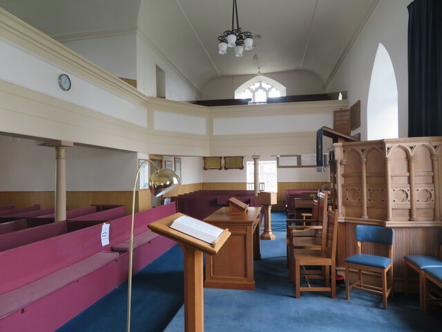
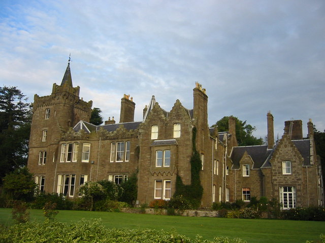
Aberlemno Images

Images are sourced within 2km of 56.69059/-2.783267 or Grid Reference NO5255. Thanks to Geograph Open Source API. All images are credited.

Bungalow, Craiksfolds
Grazing near Tilliwhanland
Road to Tilliwhanland Farm Nicely surfaced.
Road to Tilliwhanland Farm
Nicely surfaced.
Craiksfolds
Craiksfolds
Barn, Craiksfolds
Barn, Craiksfolds
Cattle grazing near Craiksfolds
Minor road near Craiksfolds Towards Aberlemno.
Minor road near Craiksfolds
Towards Aberlemno.
Cereal crop beside drain near Tilliwhanland
Minor road towards Aberlemno
Telephone Exchange near Aberlemno
Mansfield House near Aberlemno.
Mansfield
House near Aberlemno.
Cereal crop towards Bellahill Farm
Minor road towards Melgund
View towards Hillbarns Taken from the layby on the B9134, which is an obvious stop for those enjoying the view across Strathmore.
View towards Hillbarns
Taken from the layby on the B9134, which is an obvious stop for those enjoying the view across Strathmore.
View across Strathmore Looking north across the fertile strath towards the Mounth. The A90 dual carriageway runs right across the middle of this photo, traffic being visible if the photo is enlarged.
View across Strathmore
Looking north across the fertile strath towards the Mounth. The A90 dual carriageway runs right across the middle of this photo, traffic being visible if the photo is enlarged.
Sunday morning at Aberlemno Kirk The first worshippers are arriving for the Sunday morning service at this Church of Scotland kirk which dates from 1722 and probably stands on or near the same site as an earlier church.
Sunday morning at Aberlemno Kirk
The first worshippers are arriving for the Sunday morning service at this Church of Scotland kirk which dates from 1722 and probably stands on or near the same site as an earlier church.
Aberlemno Kirk - interior I'm no expert on Scottish churches, but this does seem to have the typical Church of Scotland 'T' plan layout with pews facing a preacher. A nicely kept building dating from 1722.
Aberlemno Kirk - interior
I'm no expert on Scottish churches, but this does seem to have the typical Church of Scotland 'T' plan layout with pews facing a preacher. A nicely kept building dating from 1722.
Pictish cross slab, Aberlemno churchyard This superb carved stone is rated as one of the finest of its type in Europe. Research suggests that it dates from the 9thC and shows a Celtic style cross on this side. The hole in the top right of the cross may have been made at some point in the medieval period when the stone was dragged here from another site nearby.
Pictish cross slab, Aberlemno churchyard
This superb carved stone is rated as one of the finest of its type in Europe. Research suggests that it dates from the 9thC and shows a Celtic style cross on this side. The hole in the top right of the cross may have been made at some point in the medieval period when the stone was dragged here from another site nearby.
Show me another place!

Aberlemno is located at Grid Ref: NO5255 (Lat: 56.69059, Lng: -2.783267)

Unitary Authority: Angus

Police Authority: Tayside

What 3 Words

///shakes.wand.skate. Near Letham, Angus

Nearby Locations

Aberlemno

Related Wikis

Nearby Amenities

Located within 500m of 56.69059,-2.783267
Bus Stop
Aberlemno Bus Shelter
Bus: yes
Local Ref: AT
Naptan AtcoCode: 6490IM203
Naptan Bearing: NE
Naptan CommonName: Bus Shelter
Naptan Indicator: at
Naptan Landmark: Aberlemno
Naptan NaptanCode: 26423243
Naptan Street: B9134
Naptan Verified: no
Public Transport: platform
Source: naptan_import
Lat/Long: 56.6939306/-2.778702
Bus Stop
Aberlemno Bus Shelter
Bus: yes
Naptan AtcoCode: 6490IM434
Naptan Bearing: SW
Naptan CommonName: Bus Shelter
Naptan Indicator: opp
Naptan Landmark: Aberlemno
Naptan NaptanCode: 26423245
Naptan Street: B9134
Naptan Verified: no
Public Transport: platform
Shelter: yes
Source: naptan_import
Lat/Long: 56.6938244/-2.7785607
Design: barrel
Power: tower
Lat/Long: 56.6943349/-2.7793954
Aberlemno
Name Gd: Obar Leamhnach
Name Ru: Аберлемно
Place: village
Wikidata: Q1978003
Wikipedia: en:Aberlemno
Lat/Long: 56.6914858/-2.7795629
Aberlemno Churchyard Pictish Cross
Alt Name: Aberlemno 2
Archaeological Site: megalith
Historic: archaeological_site
Historic Civilization: pictish
Megalith Type: menhir
Name Sco: Kirkyard Stane
Tourism: attraction
Wikidata: Q2293146
Wikipedia: en:Aberlemno Sculptured Stones
Lat/Long: 56.6892851/-2.7813317
The Roadside Cross
Alt Name: Aberlemno 3
Archaeological Site: megalith
Historic: archaeological_site
Historic Civilization: pictish
Megalith Type: menhir
Tourism: attraction
Wikidata: Q2293146
Wikipedia: en:Aberlemno Sculptured Stones
Lat/Long: 56.6920938/-2.7813062
The Serpent Stone
Alt Name: Aberlemno 5
Archaeological Site: megalith
Historic: archaeological_site
Historic Civilization: pictish
Megalith Type: menhir
Tourism: attraction
Wikidata: Q2293146
Wikipedia: en:Aberlemno Sculptured Stones
Lat/Long: 56.6925505/-2.7808072
The Crescent Stone
Alt Name: Aberlemno 1
Archaeological Site: megalith
Historic: archaeological_site
Historic Civilization: pictish
Megalith Type: menhir
Tourism: attraction
Wikidata: Q2293146
Wikipedia: en:Aberlemno Sculptured Stones
Lat/Long: 56.6923915/-2.7810271
Design: barrel
Power: tower
Lat/Long: 56.6912269/-2.7887549
Design: barrel
Power: tower
Lat/Long: 56.6926476/-2.7844195
Post Box
Lat/Long: 56.6938354/-2.7784127
Turning Circle
Lat/Long: 56.6891017/-2.7826393
Kirkton
Alt Name: Kirkton of Aberlemno
Place: locality
Lat/Long: 56.6892369/-2.7816883
Flemington
Place: locality
Lat/Long: 56.6900941/-2.7756587
Crosston
Alt Name: Crosston of Aberlemno
Place: locality
Lat/Long: 56.693638/-2.7794192
Power: pole
Lat/Long: 56.6946841/-2.7829039
Power: pole
Lat/Long: 56.6939232/-2.7832763
Power: pole
Lat/Long: 56.6931507/-2.7836533
Power: pole
Lat/Long: 56.6926318/-2.7838866
Power: pole
Lat/Long: 56.6920455/-2.7841859
Power: pole
Lat/Long: 56.6913972/-2.7845889
Power: pole
Lat/Long: 56.6907385/-2.7850225
Power: pole
Lat/Long: 56.6900785/-2.7854302
Power: pole
Lat/Long: 56.6898455/-2.7864153
Power: pole
Lat/Long: 56.6896113/-2.7873791
Power: pole
Lat/Long: 56.6893692/-2.7883595
Power: pole
Lat/Long: 56.6890328/-2.7897334
Power: pole
Lat/Long: 56.6912057/-2.7836015
Power: pole
Lat/Long: 56.6910115/-2.7826306
Power: pole
Lat/Long: 56.6908446/-2.7817775
Power: pole
Lat/Long: 56.6906557/-2.7808702
Power: pole
Lat/Long: 56.6902765/-2.7798969
Power: pole
Lat/Long: 56.6899102/-2.7789802
Power: pole
Lat/Long: 56.6895181/-2.7779763
Power: pole
Lat/Long: 56.6894223/-2.7788176
Power: pole
Lat/Long: 56.6893304/-2.7796754
Power: pole
Lat/Long: 56.6892372/-2.7805025
Power: pole
Lat/Long: 56.6890082/-2.78794
Power: pole
Lat/Long: 56.6886652/-2.7875135
Power: pole
Lat/Long: 56.6883313/-2.787101
Power: pole
Lat/Long: 56.6876764/-2.786321
Power: pole
Lat/Long: 56.6870241/-2.7855339
Power: pole
Lat/Long: 56.6863757/-2.7847515
Power: pole
Lat/Long: 56.687274/-2.7873978
Bus Stop
Aberlemno Primary School
Bus: yes
Public Transport: platform
Lat/Long: 56.6918713/-2.7818991
Bus Stop
Aberlemno Primary School
Bus: yes
Public Transport: platform
Lat/Long: 56.6917858/-2.7816953
The data included in this document is from www.openstreetmap.org. The data is made available under ODbL.

Have you been to Aberlemno?

Leave your review of Aberlemno below (or comments, questions and feedback).