Aberlerry
Settlement in Cardiganshire
Wales
Aberlerry
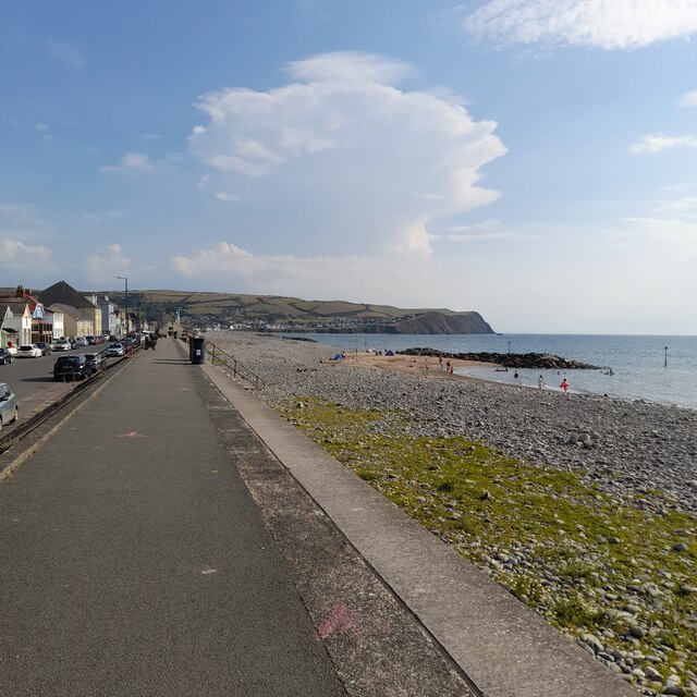
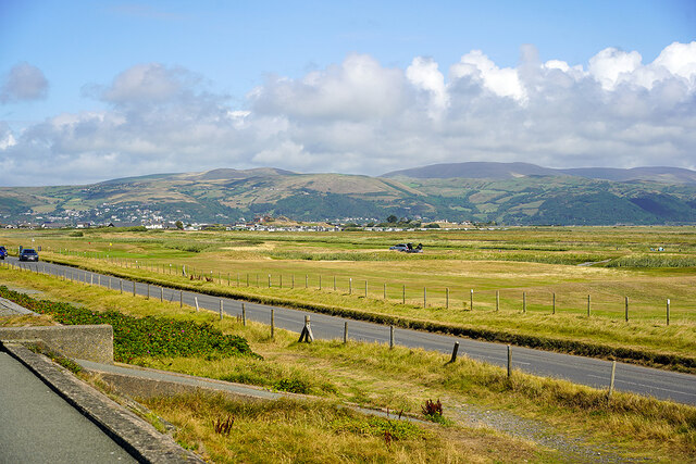
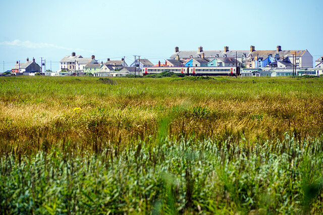
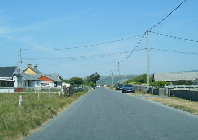
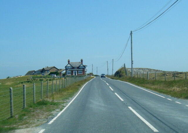
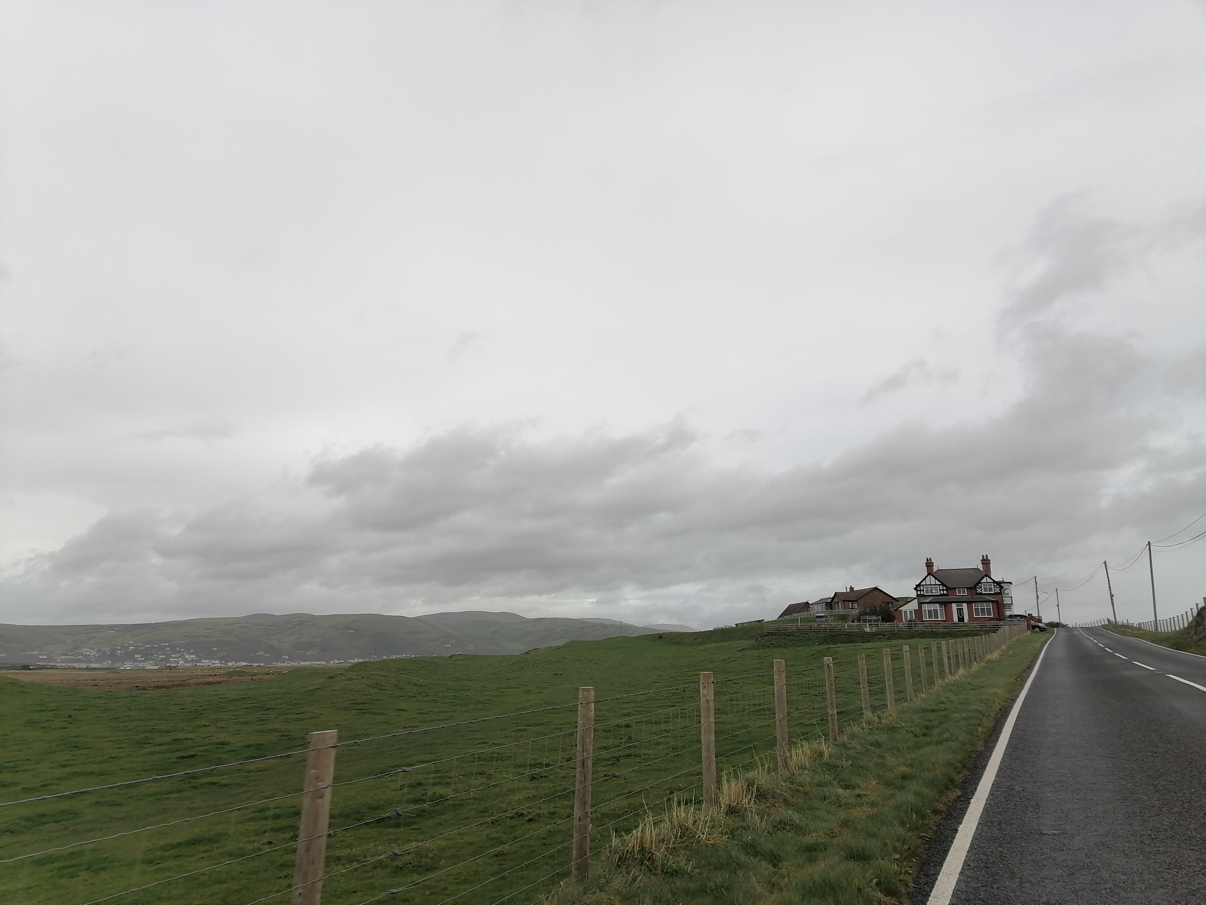
Aberlerry is a quaint coastal village located in the county of Cardiganshire, Wales. Situated on the western coast of the country, it occupies a picturesque spot overlooking Cardigan Bay. With its charming atmosphere and stunning natural surroundings, Aberlerry attracts visitors from far and wide.
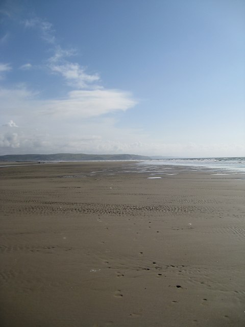
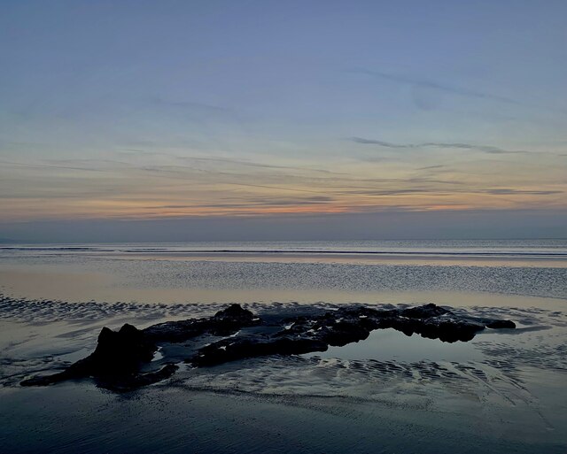
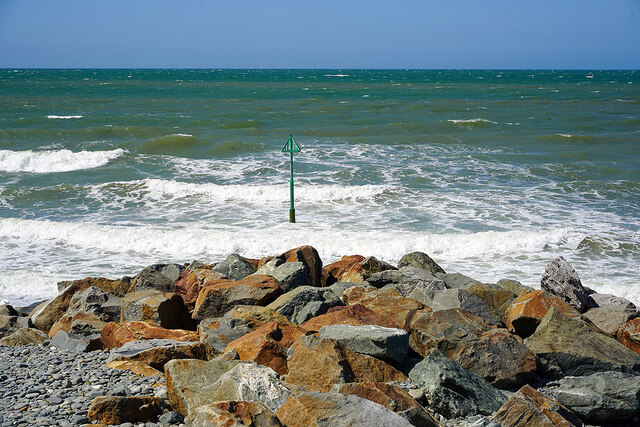
The village is known for its pristine sandy beaches, which stretch for miles along the coastline. These beaches offer a range of recreational activities, from swimming and sunbathing to surfing and sailing. The clear blue waters of Cardigan Bay are also home to a diverse marine ecosystem, making it a popular spot for snorkeling and diving enthusiasts.
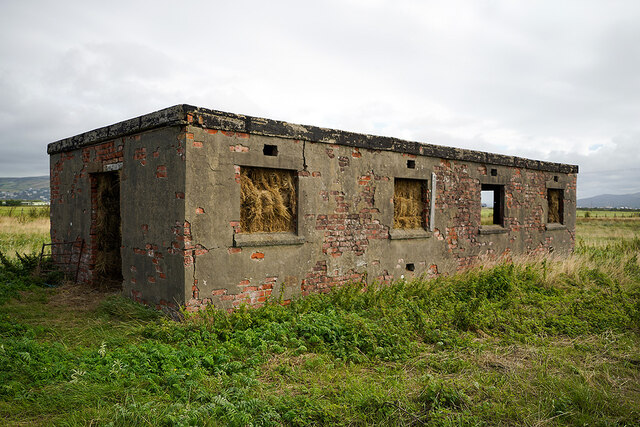
Aberlerry is also steeped in history, with several ancient landmarks scattered throughout the area. One notable site is the ruins of Llanlyr Castle, a medieval fortress that dates back to the 13th century. The castle's crumbling walls and towers provide a glimpse into the region's rich past.
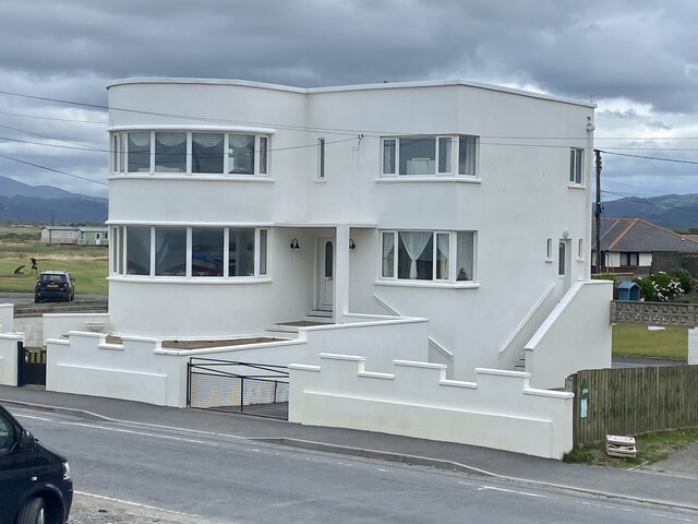
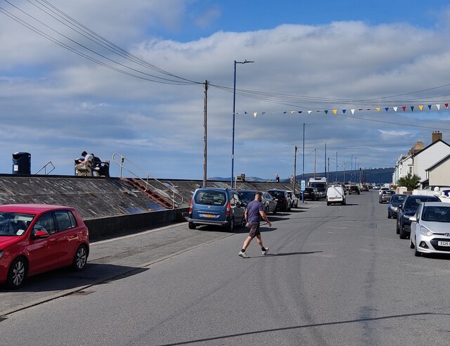
The village itself boasts a charming array of local shops, cafes, and traditional Welsh pubs. Visitors can sample the local cuisine, which often includes freshly caught seafood and traditional Welsh dishes. The friendly and welcoming locals add to the warm and inviting atmosphere.
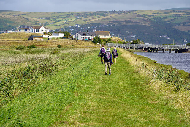
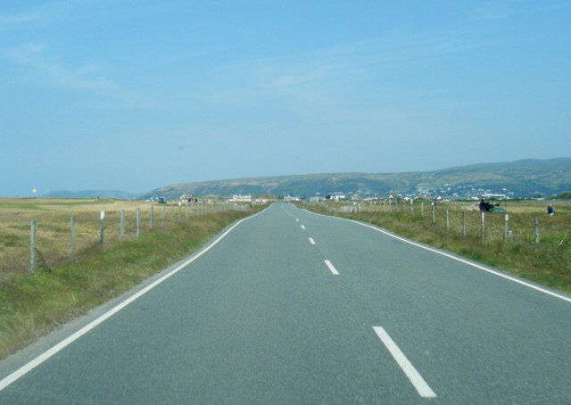
For those seeking outdoor adventures, Aberlerry is surrounded by breathtaking natural beauty. The nearby Cardigan Bay Coastal Path offers stunning views of the rugged coastline and provides ample opportunities for hiking and wildlife spotting.
In summary, Aberlerry is a hidden gem on the Cardiganshire coast, offering a perfect blend of natural beauty, historical landmarks, and a welcoming community. Whether you are looking for a relaxing beach holiday or an active outdoor getaway, Aberlerry has something to offer everyone.
If you have any feedback on the listing, please let us know in the comments section below.
Aberlerry Images
Images are sourced within 2km of 52.507865/-4.0642223 or Grid Reference SN6092. Thanks to Geograph Open Source API. All images are credited.
Aberlerry is located at Grid Ref: SN6092 (Lat: 52.507865, Lng: -4.0642223)
Unitary Authority: Ceredigion
Police Authority: Dyfed Powys
What 3 Words
///incisions.goats.equipment. Near Borth, Ceredigion
Nearby Locations
Related Wikis
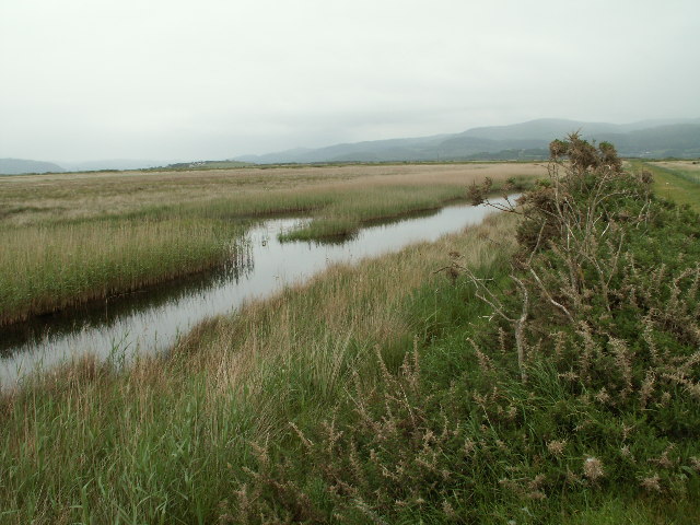
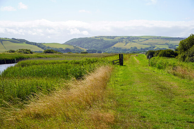
Cors Fochno
Cors Fochno is a raised peat bog near the village of Borth, in the county of Ceredigion, Wales. Lying on the south side of the Dyfi estuary, it forms...

Morfa Borth
Morfa Borth is a small village in the community of Borth, Ceredigion, Wales; which is 78.7 miles (126.6 km) from Cardiff and 179.9 miles (289.6 km) from...
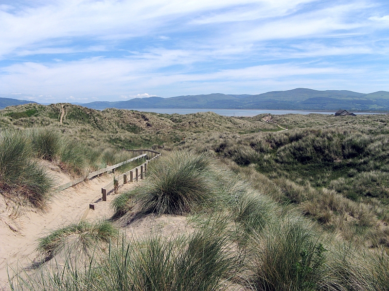
Ynyslas Sand Dunes
Ynyslas Sand Dunes (Welsh: Twyni Tywod Ynyslas) are sand dunes located in Ceredigion, Wales. They border Cardigan Bay and the Dyfi Estuary between Ynyslas...
Ynys Tachwedd
Ynys Tachwedd is a hamlet in the community of Borth, Ceredigion, Wales, which is 80.5 miles (129.6 km) from Cardiff and 180.5 miles (290.5 km) from London...
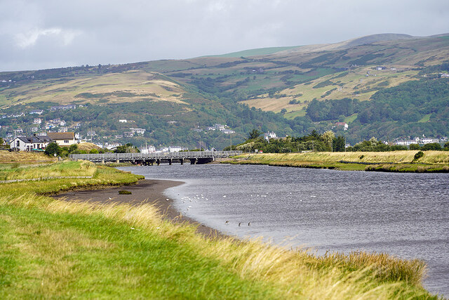
Afon Leri
The Afon Leri (English: River Leri) is a river in Ceredigion, Wales. It rises at Llyn Craig-y-Pistyll and is joined at Talybont by Afon Ceulan before...

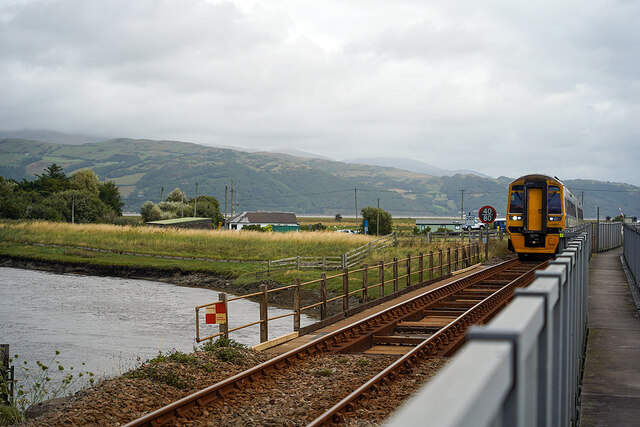
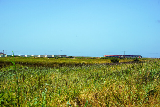
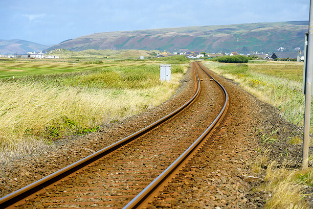
Borth railway station
Borth railway station is a railway station on the Cambrian Line in mid-Wales, serving the village of Borth near Aberystwyth. == History == The station...
Dyfi National Nature Reserve
The Dyfi National Nature Reserve, managed by Natural Resources Wales, the successor body to the Countryside Council for Wales, is located 7 miles (11 km...
Ynyslas
Ynyslas (Welsh pronunciation: [ənɨ̞s-lɑs], meaning "Blue Island") is a small Welsh village about 1.5 miles north of Borth and 8 miles north of Aberystwyth...
Have you been to Aberlerry?
Leave your review of Aberlerry below (or comments, questions and feedback).