Pwll Moelynys
Lake, Pool, Pond, Freshwater Marsh in Cardiganshire
Wales
Pwll Moelynys
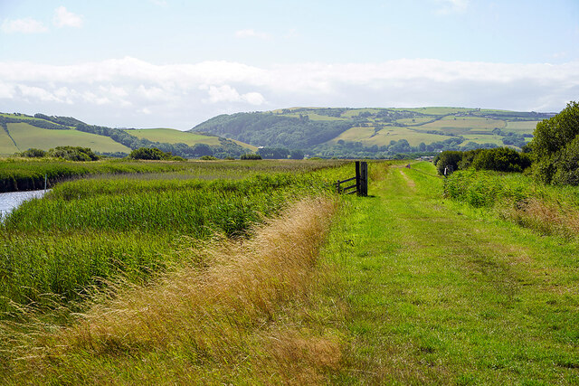
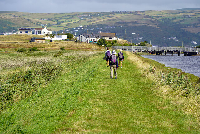
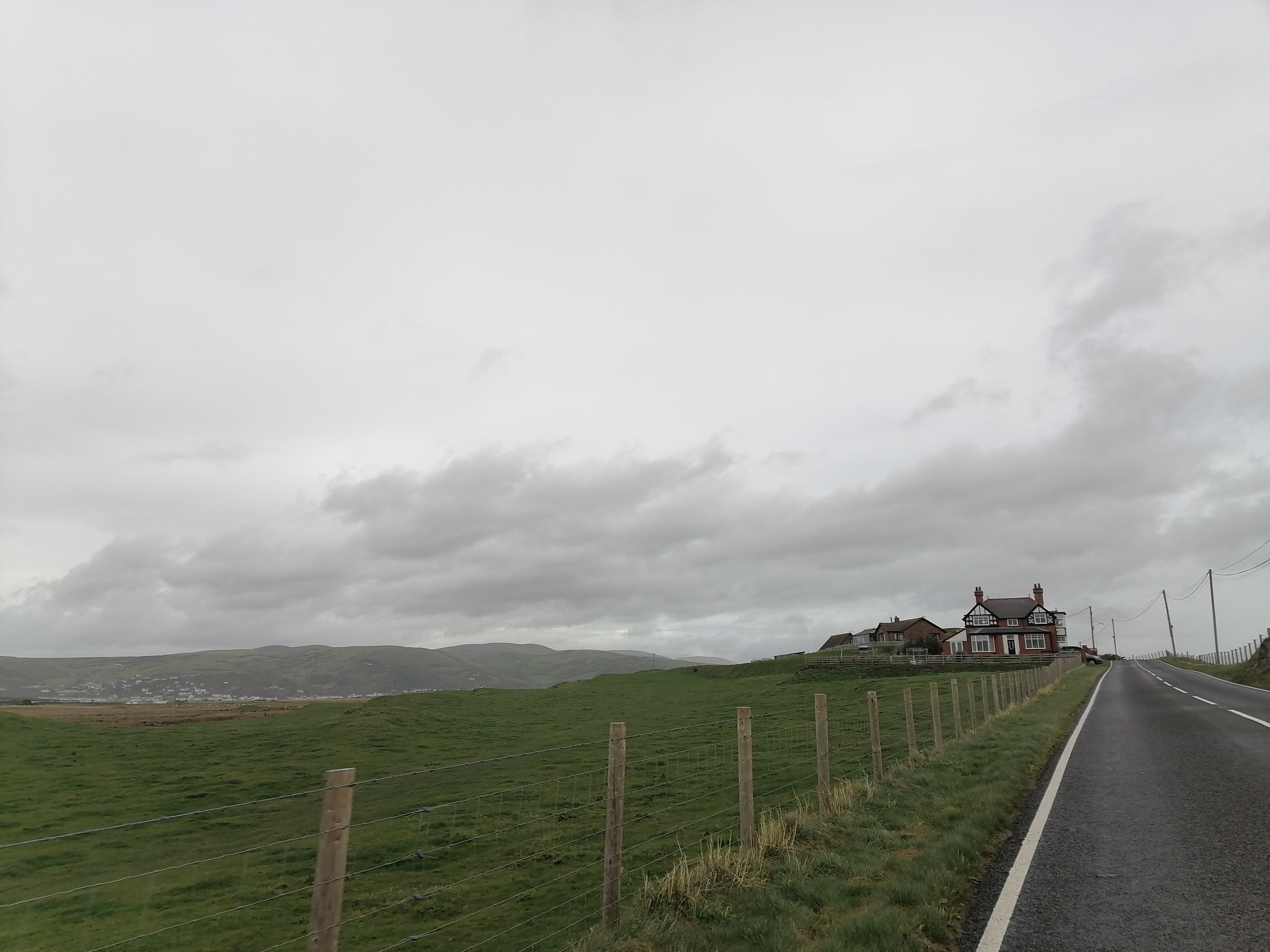
Pwll Moelynys is a picturesque freshwater marsh located in the county of Cardiganshire, Wales. Nestled amidst beautiful rolling hills and lush greenery, it serves as a haven for various flora and fauna, making it an important ecological site.
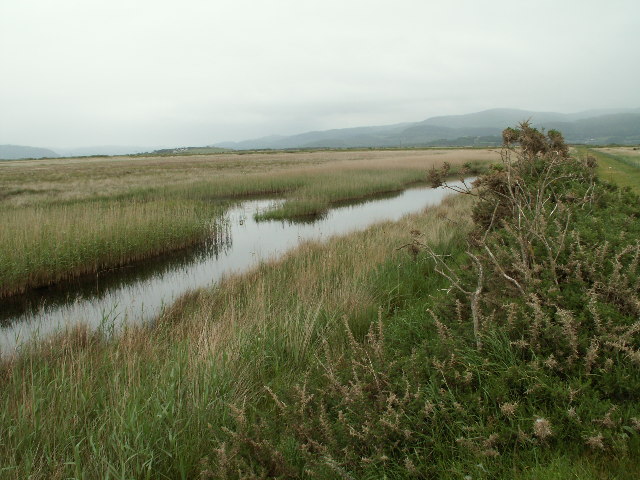
The main feature of Pwll Moelynys is its expansive lake, which stretches over an area of approximately 10 acres. The lake is surrounded by a dense cover of reeds and other aquatic plants, creating a serene and tranquil atmosphere. The water in the lake is crystal clear, reflecting the surrounding landscape, and is home to a diverse range of aquatic life. Visitors can often spot species such as ducks, swans, and various types of fish thriving in the lake.
Apart from the lake, Pwll Moelynys also boasts a smaller pool and pond, which contribute to the overall charm of the area. These smaller water bodies provide additional habitats for a variety of amphibians, insects, and water plants.
The freshwater marsh at Pwll Moelynys is an important part of the local ecosystem. It acts as a natural filter, purifying the water flowing into the lake and supporting a wide range of plant life, including reeds, rushes, and water lilies. The marsh is also a breeding ground for numerous bird species, attracting birdwatchers from far and wide.
Pwll Moelynys is a popular destination for nature enthusiasts, offering a peaceful retreat away from the hustle and bustle of everyday life. Visitors can explore the area through designated walking trails, enjoy picnics by the lake, or simply sit back and appreciate the stunning natural beauty that surrounds them.
If you have any feedback on the listing, please let us know in the comments section below.
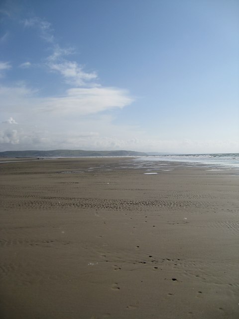
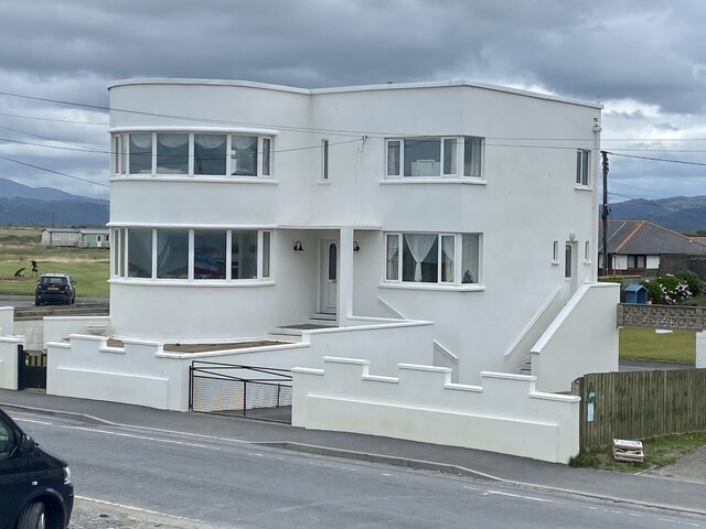
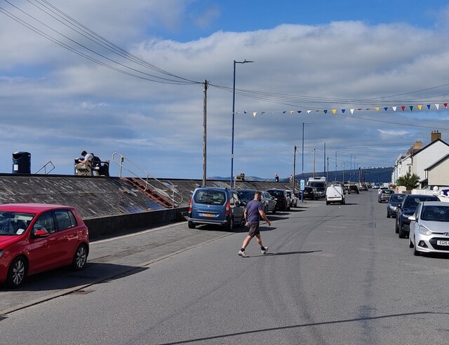
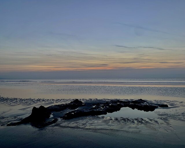
Pwll Moelynys Images
Images are sourced within 2km of 52.510664/-4.0532125 or Grid Reference SN6092. Thanks to Geograph Open Source API. All images are credited.


Pwll Moelynys is located at Grid Ref: SN6092 (Lat: 52.510664, Lng: -4.0532125)
Unitary Authority: Ceredigion
Police Authority: Dyfed Powys
What 3 Words
///meaty.shall.pins. Near Borth, Ceredigion
Nearby Locations
Related Wikis
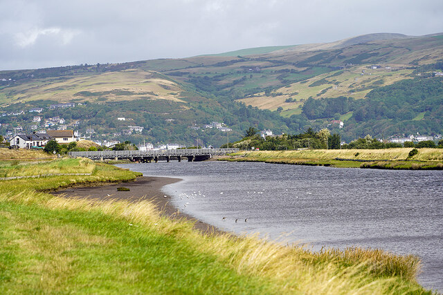
Cors Fochno
Cors Fochno is a raised peat bog near the village of Borth, in the county of Ceredigion, Wales. Lying on the south side of the Dyfi estuary, it forms...
Ynys Tachwedd
Ynys Tachwedd is a hamlet in the community of Borth, Ceredigion, Wales, which is 80.5 miles (129.6 km) from Cardiff and 180.5 miles (290.5 km) from London...
Afon Leri
The Afon Leri (English: River Leri) is a river in Ceredigion, Wales. It rises at Llyn Craig-y-Pistyll and is joined at Talybont by Afon Ceulan before...
Ynyslas Sand Dunes
Ynyslas Sand Dunes (Welsh: Twyni Tywod Ynyslas) are sand dunes located in Ceredigion, Wales. They border Cardigan Bay and the Dyfi Estuary between Ynyslas...
Dyfi National Nature Reserve
The Dyfi National Nature Reserve, managed by Natural Resources Wales, the successor body to the Countryside Council for Wales, is located 7 miles (11 km...

Morfa Borth
Morfa Borth is a small village in the community of Borth, Ceredigion, Wales; which is 78.7 miles (126.6 km) from Cardiff and 179.9 miles (289.6 km) from...
Ynyslas
Ynyslas (Welsh pronunciation: [ənɨ̞s-lɑs], meaning "Blue Island") is a small Welsh village about 1.5 miles north of Borth and 8 miles north of Aberystwyth...

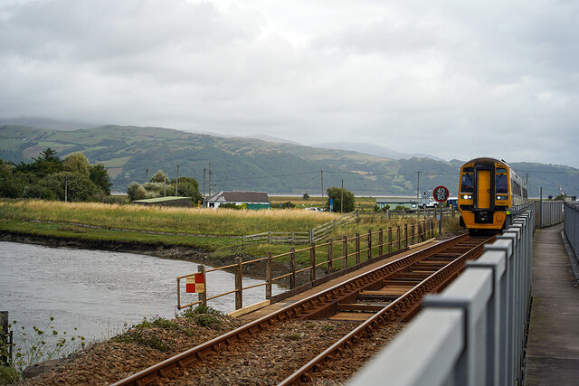
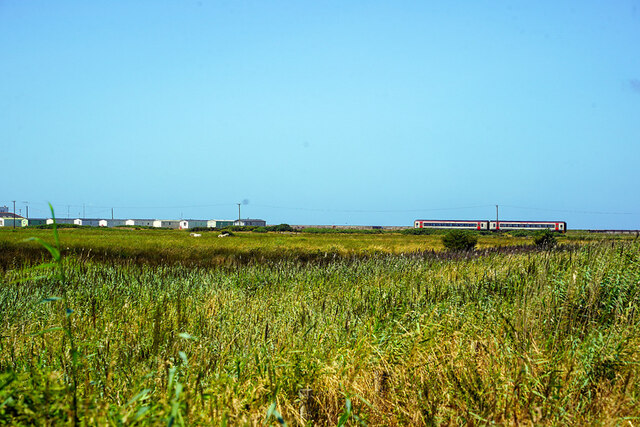
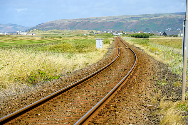
Borth railway station
Borth railway station is a railway station on the Cambrian Line in mid-Wales, serving the village of Borth near Aberystwyth. == History == The station...
Nearby Amenities
Located within 500m of 52.510664,-4.0532125Have you been to Pwll Moelynys?
Leave your review of Pwll Moelynys below (or comments, questions and feedback).