Ynyslas
Settlement in Cardiganshire
Wales
Ynyslas
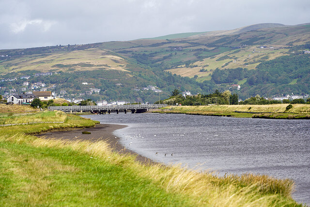
Ynyslas is a small village located in the county of Cardiganshire in Wales, United Kingdom. Situated on the west coast of Wales, it lies on the southern side of the estuary of the River Dovey, just north of the popular seaside resort town of Aberdovey.
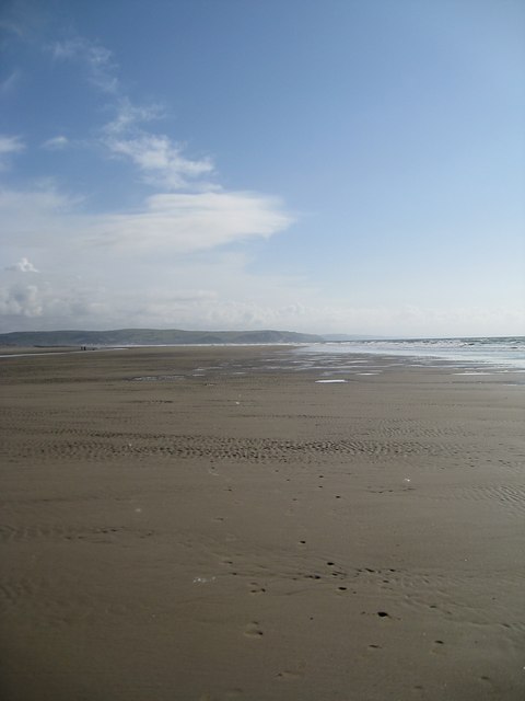
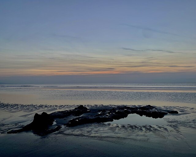
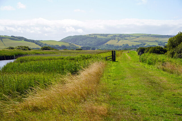
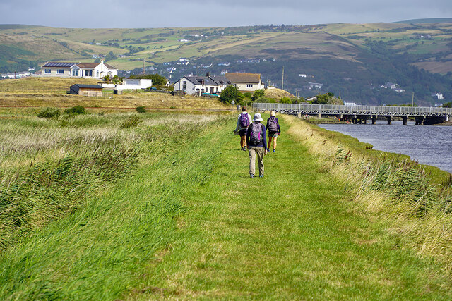
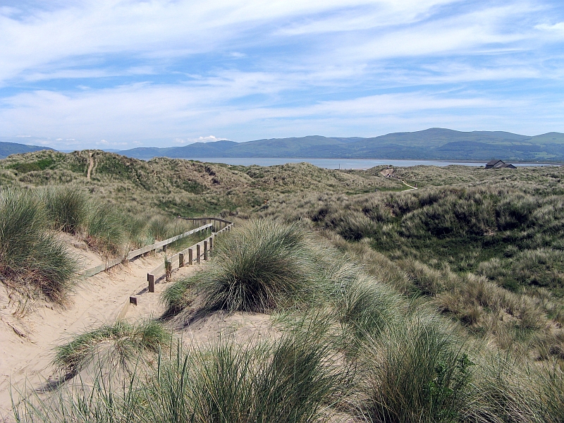
The village is known for its stunning natural beauty, with its golden sandy beaches, rolling sand dunes, and picturesque views of the estuary and surrounding hills. It is a popular destination for both locals and tourists who seek tranquility and a place to connect with nature.
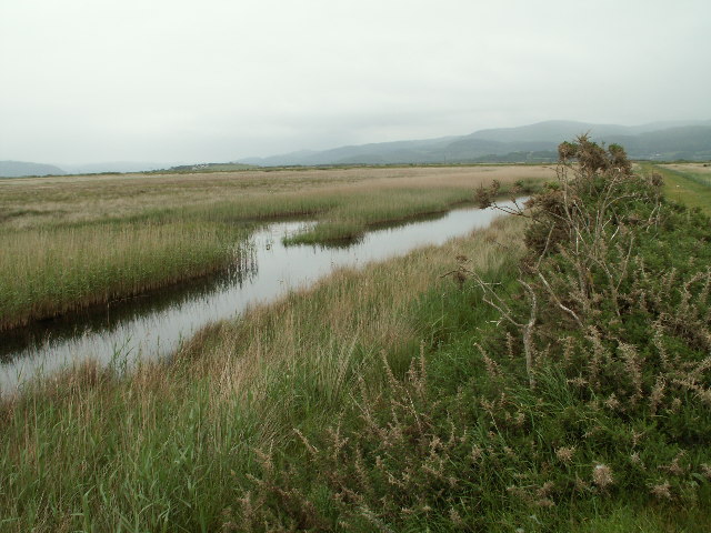
Ynyslas is part of the Dyfi National Nature Reserve, which encompasses the estuary and its surrounding marshland. This reserve is home to a diverse range of flora and fauna, including a variety of bird species, such as red kites and ospreys. It is a haven for birdwatchers and nature enthusiasts.
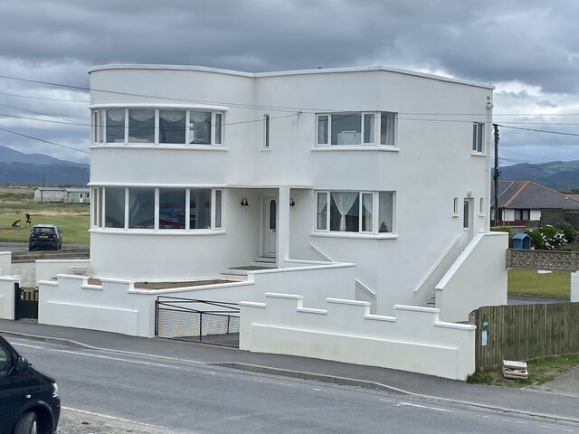
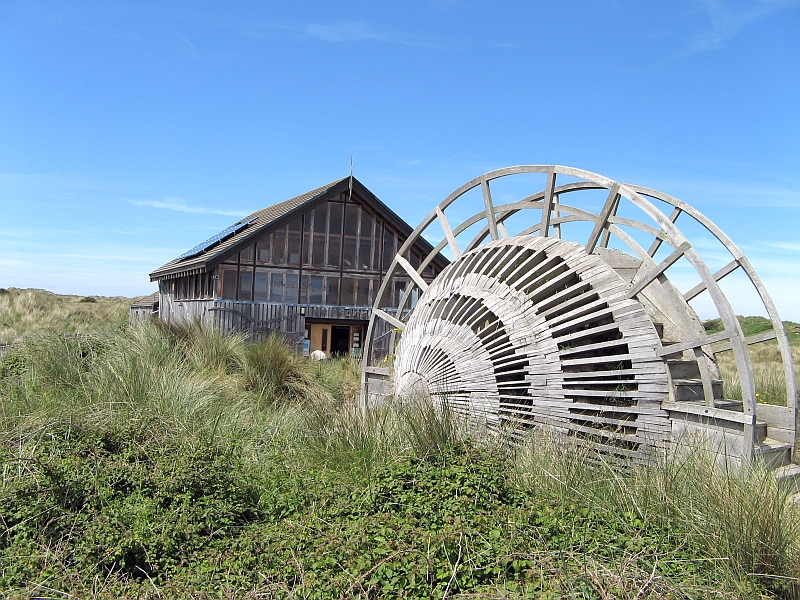
The village itself has a small population and a close-knit community. It offers basic amenities, including a pub, a caravan park, and a few shops. The nearby town of Aberdovey provides additional facilities and services.
Ynyslas is also renowned for its outdoor activities, particularly water sports. The estuary and nearby sea offer opportunities for sailing, windsurfing, and kayaking. The sand dunes are perfect for hiking and horse riding, and there are several walking trails in the area.
In summary, Ynyslas is a charming village nestled amidst breathtaking natural surroundings. It offers a peaceful retreat, stunning scenery, and a range of outdoor activities for visitors to enjoy.
If you have any feedback on the listing, please let us know in the comments section below.
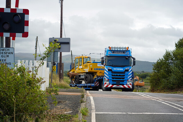
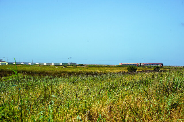
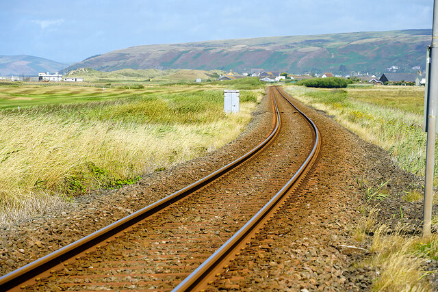
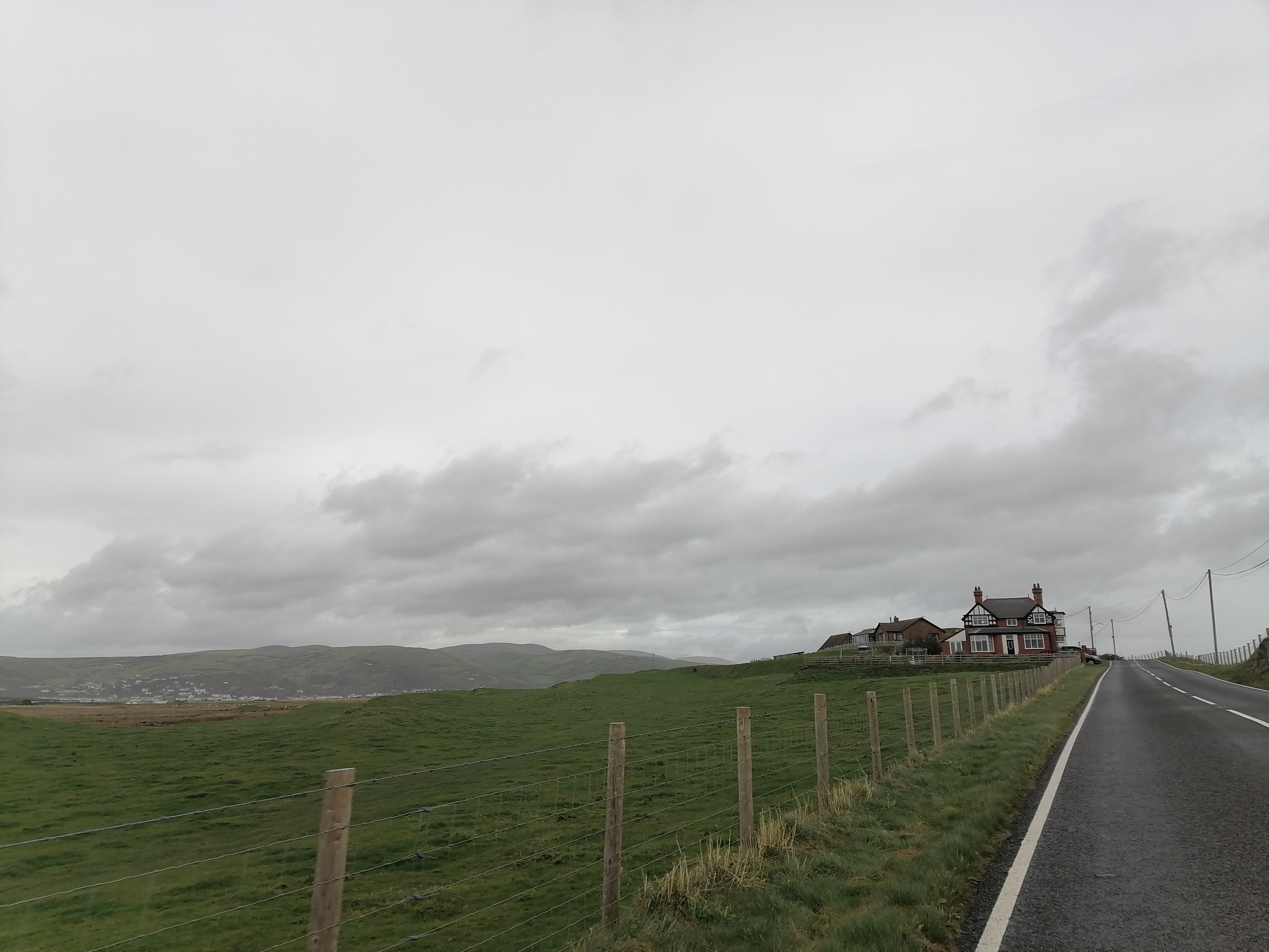
Ynyslas Images
Images are sourced within 2km of 52.5123/-4.052399 or Grid Reference SN6092. Thanks to Geograph Open Source API. All images are credited.


Ynyslas is located at Grid Ref: SN6092 (Lat: 52.5123, Lng: -4.052399)
Unitary Authority: Ceredigion
Police Authority: Dyfed Powys
Also known as: Ynys-las
What 3 Words
///workflow.funded.seaweed. Near Borth, Ceredigion
Nearby Locations
Related Wikis
Ynys Tachwedd
Ynys Tachwedd is a hamlet in the community of Borth, Ceredigion, Wales, which is 80.5 miles (129.6 km) from Cardiff and 180.5 miles (290.5 km) from London...
Afon Leri
The Afon Leri (English: River Leri) is a river in Ceredigion, Wales. It rises at Llyn Craig-y-Pistyll and is joined at Talybont by Afon Ceulan before...
Cors Fochno
Cors Fochno is a raised peat bog near the village of Borth, in the county of Ceredigion, Wales. Lying on the south side of the Dyfi estuary, it forms...
Ynyslas Sand Dunes
Ynyslas Sand Dunes (Welsh: Twyni Tywod Ynyslas) are sand dunes located in Ceredigion, Wales. They border Cardigan Bay and the Dyfi Estuary between Ynyslas...
Dyfi National Nature Reserve
The Dyfi National Nature Reserve, managed by Natural Resources Wales, the successor body to the Countryside Council for Wales, is located 7 miles (11 km...
Ynyslas
Ynyslas (Welsh pronunciation: [ənɨ̞s-lɑs], meaning "Blue Island") is a small Welsh village about 1.5 miles north of Borth and 8 miles north of Aberystwyth...

Morfa Borth
Morfa Borth is a small village in the community of Borth, Ceredigion, Wales; which is 78.7 miles (126.6 km) from Cardiff and 179.9 miles (289.6 km) from...

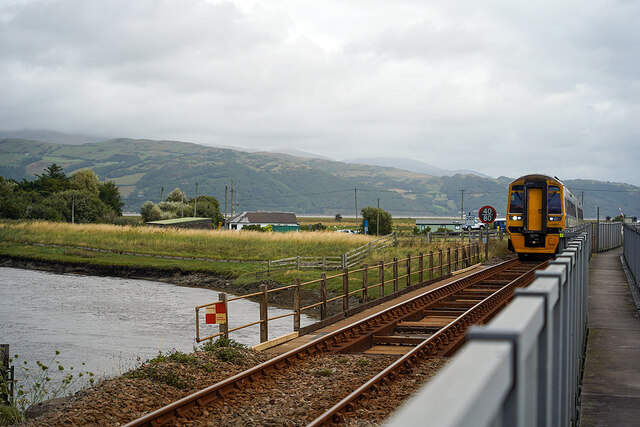
Borth railway station
Borth railway station is a railway station on the Cambrian Line in mid-Wales, serving the village of Borth near Aberystwyth. == History == The station...
Nearby Amenities
Located within 500m of 52.5123,-4.052399Have you been to Ynyslas?
Leave your review of Ynyslas below (or comments, questions and feedback).