Aberlady
Settlement in East Lothian
Scotland
Aberlady
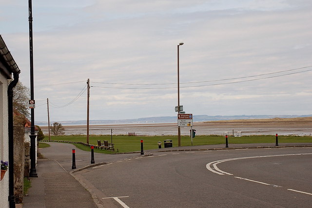
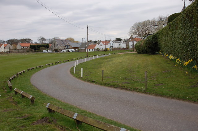
Aberlady is a small coastal village located in East Lothian, Scotland. Situated approximately 20 miles east of Edinburgh, it is nestled along the southern shore of the Firth of Forth. The village is known for its picturesque setting, with stunning views of the surrounding countryside and the nearby Aberlady Bay Nature Reserve.
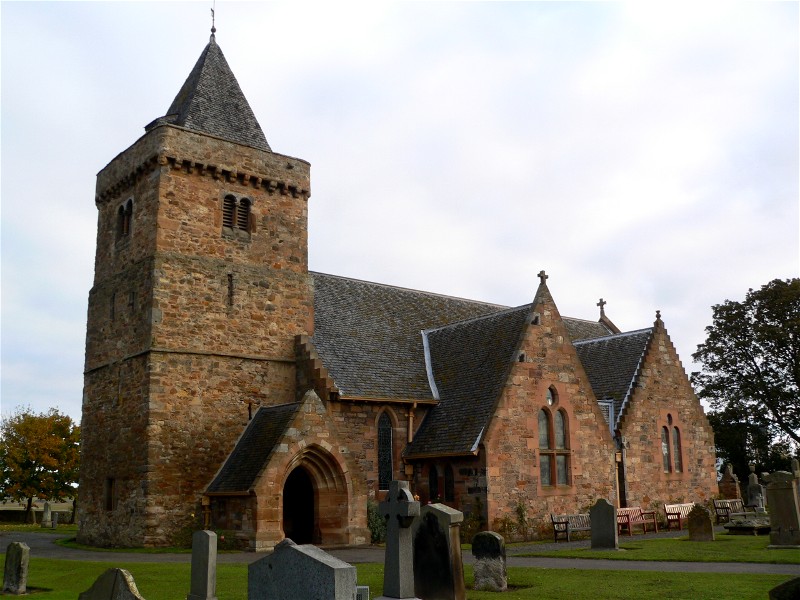
With a population of around 1,500 people, Aberlady has a close-knit community and offers a peaceful and idyllic lifestyle. The village is characterized by its charming historic buildings, including traditional stone cottages and a 12th-century parish church, which contribute to its quaint and timeless atmosphere.
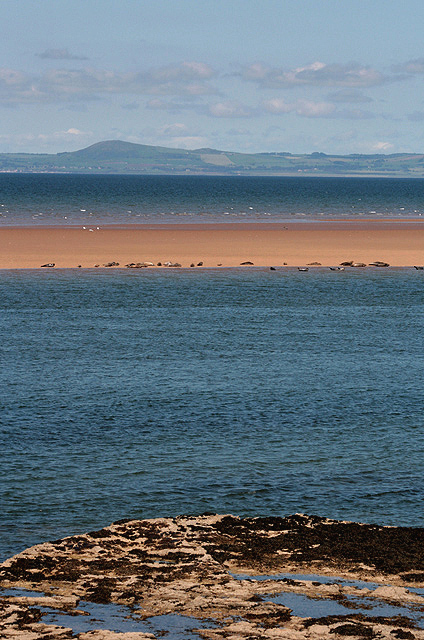
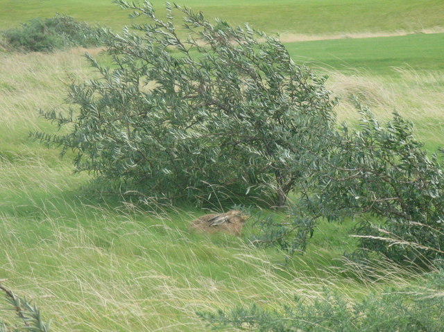
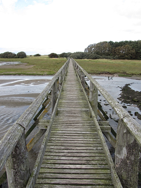
Aberlady Bay Nature Reserve, a significant attraction in the area, is a haven for birdwatchers and nature enthusiasts. The reserve spans over 1,000 acres and provides a habitat for a wide range of bird species, including the iconic pink-footed geese. Visitors can explore the nature trails and enjoy the stunning coastal scenery, making it a popular spot for leisurely walks and wildlife photography.
The village of Aberlady also boasts a golf course, offering enthusiasts a chance to enjoy a round while taking in the beautiful views of the surrounding landscape. Additionally, the nearby John Muir Way, a long-distance walking trail, passes through the village, attracting hikers and nature lovers.
Overall, Aberlady is a charming and picturesque village with its stunning coastal location, rich natural beauty, and a strong sense of community. It offers a peaceful retreat from the hustle and bustle of city life, making it an appealing destination for both residents and visitors alike.
If you have any feedback on the listing, please let us know in the comments section below.
Aberlady Images
Images are sourced within 2km of 56.009569/-2.85891 or Grid Reference NT4679. Thanks to Geograph Open Source API. All images are credited.
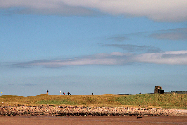

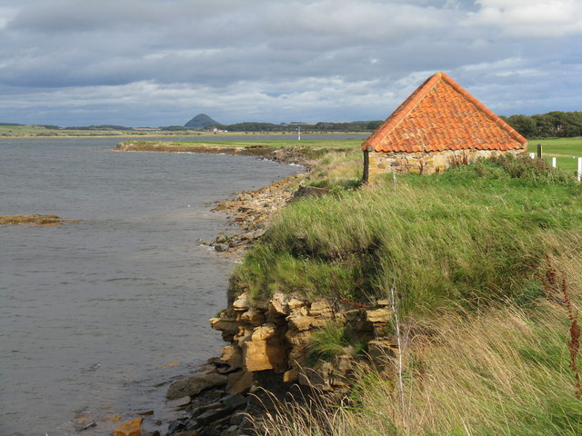
![Foreshore at Kilspindie Looking to Aberlady Bay [tide in] from the edge of Kilspindie Golf Course.](https://s2.geograph.org.uk/geophotos/02/59/68/2596854_0411c1be.jpg)
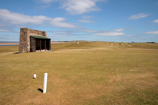
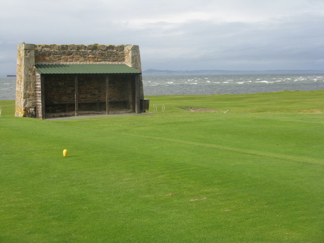
![Action on the 4th tee On a wild and windy day - balls going everywhere. Looking west from Kilspindie towards Cockenzie Power Station [left] and Arthur&#039;s Seat [right].](https://s1.geograph.org.uk/geophotos/02/59/68/2596861_06417aae.jpg)
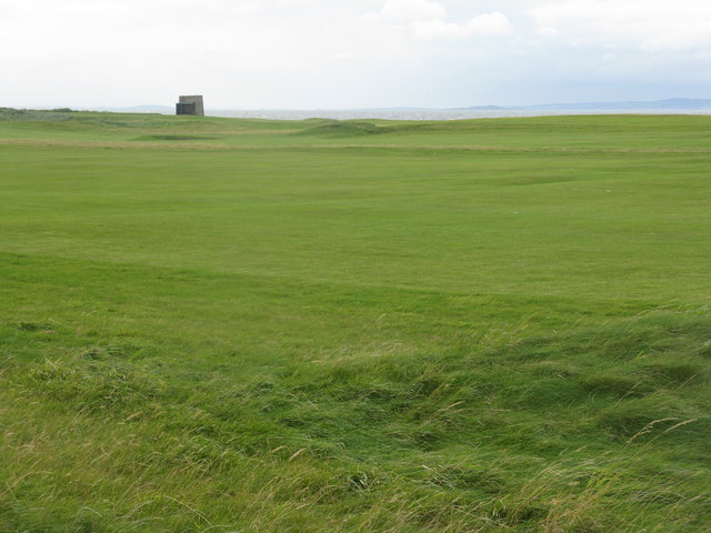
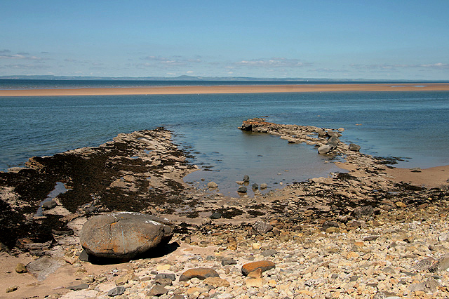
![Aberlady Bay from Kilspindie Looking east towards North Berwick Law [11km away].](https://s3.geograph.org.uk/geophotos/02/59/68/2596879_4918f7a9.jpg)
Aberlady is located at Grid Ref: NT4679 (Lat: 56.009569, Lng: -2.85891)
Unitary Authority: East Lothian
Police Authority: The Lothians and Scottish Borders
What 3 Words
///prickly.bracelet.carpeted. Near Aberlady, East Lothian
Nearby Locations
Related Wikis
Aberlady
Aberlady (Scots: Aiberleddy, Gaelic: Obar Lobhaite) is a coastal village in the Scottish council area of East Lothian. The village had an estimated population...

Kilspindie Castle
Kilspindie Castle lies north of the village of Aberlady, in East Lothian, Scotland; the remains of the castle are behind the Victorian St Mary's Kirk....
Aberlady railway station
Aberlady railway station served the village of Aberlady in Scotland. It was served by the Aberlady, Gullane and North Berwick railway. This line diverged...

Luffness Castle
Luffness Castle, also known as Luffness House, is a house built in a former fortification near the village of Aberlady, East Lothian, Scotland. ��2�...

Aberlady Bay
Aberlady Bay in East Lothian, Scotland lies between Aberlady and Gullane. In 1952, Aberlady Bay became the UK's first Local Nature Reserve (LNR) and is...

Luffness
Luffness is a hamlet in East Lothian, Scotland. It lies between the towns of Gullane and Aberlady and is approximately 20 miles east of Edinburgh. ��2...

Gosford House
Gosford House is a neoclassical country house around 2 miles (3 km) northeast of Longniddry in East Lothian, Scotland, on the A198 Aberlady Road, in 5...
Luffness Platform railway station
Luffness Platform (also known as Luffness Golf Club Halt) served a golf course near Gullane in Scotland. It was served by the Aberlady, Gullane and North...
Nearby Amenities
Located within 500m of 56.009569,-2.85891Have you been to Aberlady?
Leave your review of Aberlady below (or comments, questions and feedback).