Aberhosan

Settlement in Montgomeryshire

Wales

Aberhosan

Glyndwr's Way near Esgair Fochnant
Glyndwr's Way near Esgair Fochnant Credit: Dave Kelly

Aberhosan is a small village located in the county of Montgomeryshire, Wales. Situated in the scenic region of Powys, it is nestled within the beautiful countryside of central Wales. Aberhosan is part of the community of Llanbrynmair, which encompasses several other nearby settlements.

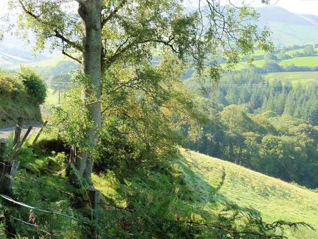
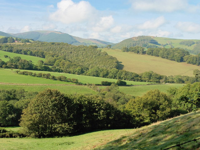
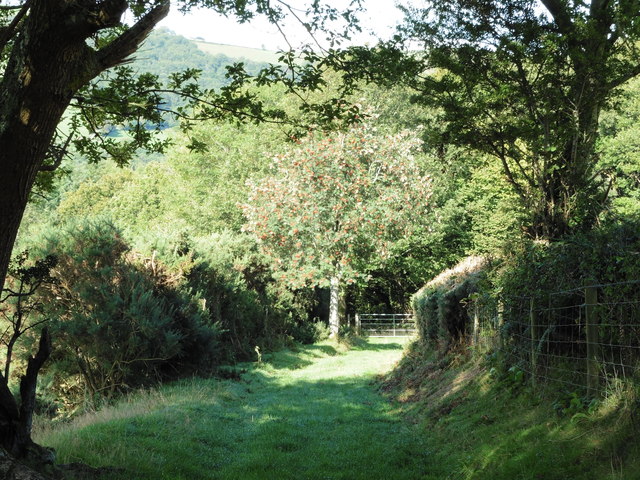
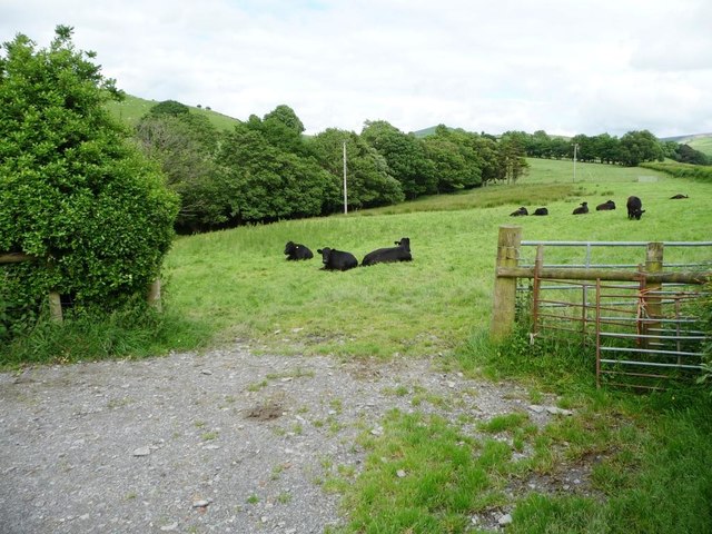
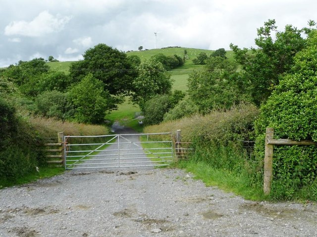
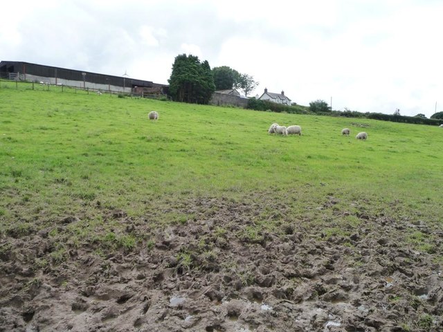
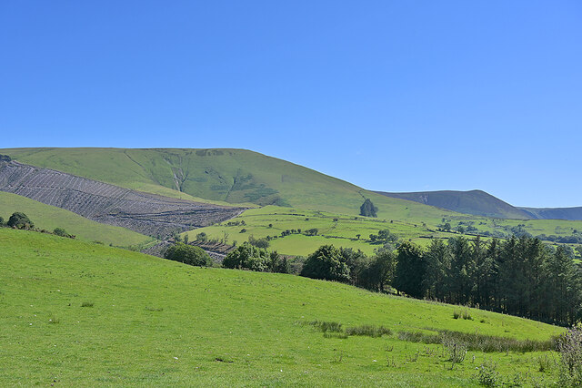
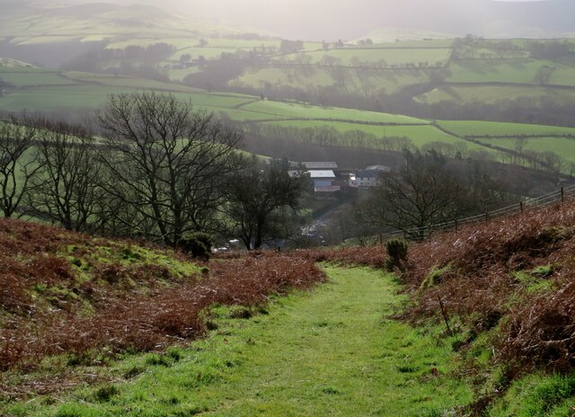
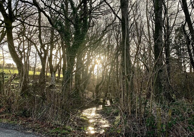
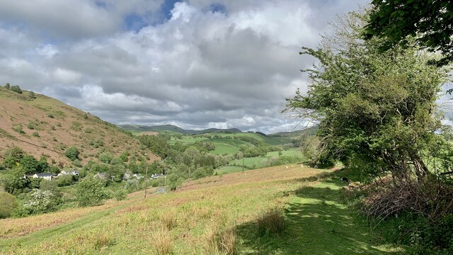
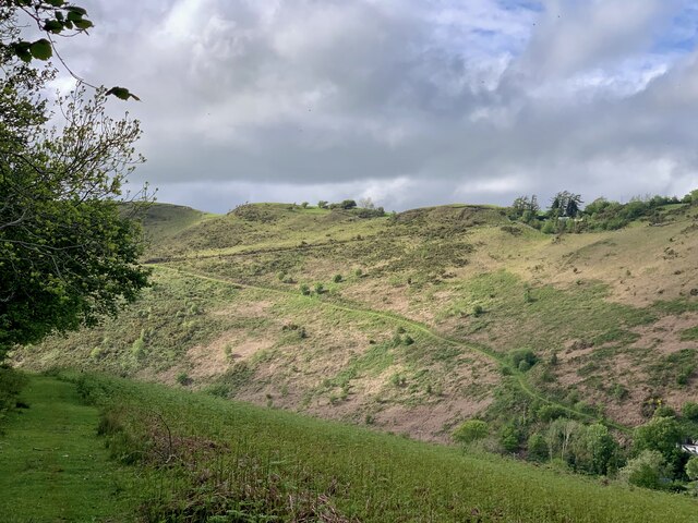
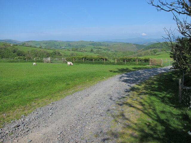
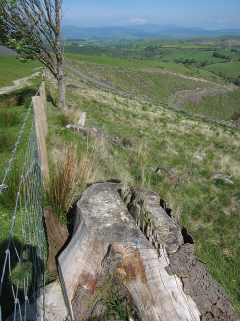
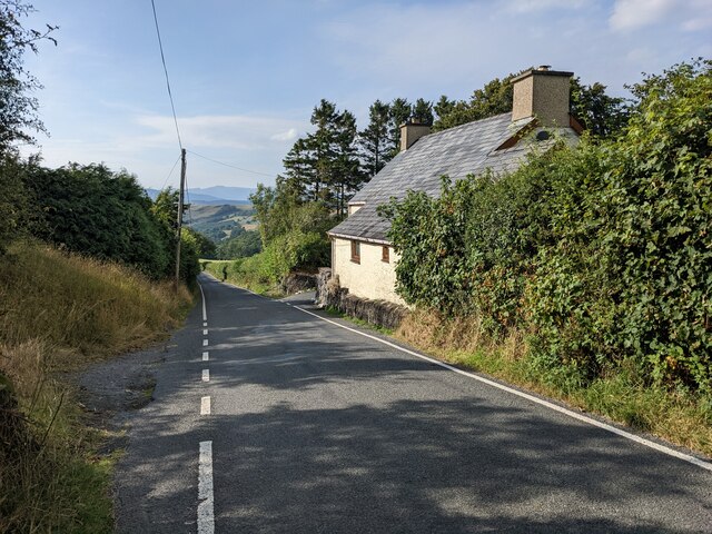
The village is known for its tranquil and picturesque surroundings, with rolling hills and lush green fields dominating the landscape. It offers a peaceful retreat for residents and visitors alike, providing a sense of serenity and natural beauty.

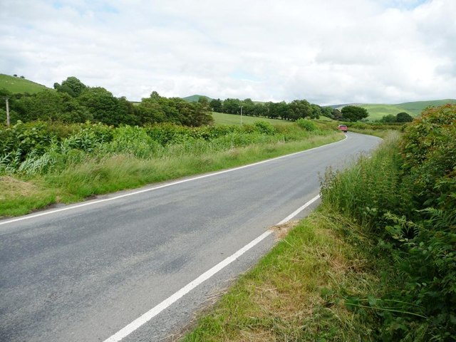
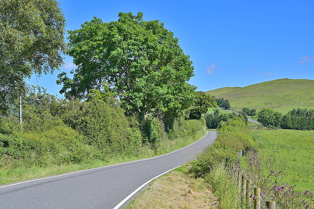
Although Aberhosan is a small village, it is well-connected to the surrounding areas. The nearby town of Machynlleth is just a short drive away, offering a range of amenities such as shops, schools, and healthcare facilities. The village is also within easy reach of the A470, a major road that provides access to other towns and cities in the region.

The community in Aberhosan is tight-knit, with a friendly and welcoming atmosphere. Residents take pride in their village and often organize local events and activities to bring people together. The village also has a community center, which serves as a hub for social gatherings and various community initiatives.

Overall, Aberhosan is a charming village that offers a peaceful and idyllic lifestyle. Its natural beauty and sense of community make it an attractive place to live or visit for those seeking a rural escape in the heart of Wales.

If you have any feedback on the listing, please let us know in the comments section below.
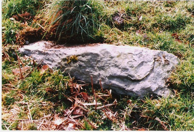
Aberhosan Images

Images are sourced within 2km of 52.561094/-3.750309 or Grid Reference SN8197. Thanks to Geograph Open Source API. All images are credited.

Glyndwr's Way near Esgair Fochnant
View from Glyndwr's Way near Esgair Fochnant
Glyndwr's Way near Aberhosan
The road from Machynlleth to Llanidloes, near Pen y glog Described as a 'narrow mountain road' but still below 200 metres above sea level here.
The road from Machynlleth to Llanidloes, near Pen y glog
Described as a 'narrow mountain road' but still below 200 metres above sea level here.
Welsh black cattle grazing, east of Hendreron Uchaf On the north side of the road to Llanidloes.
Welsh black cattle grazing, east of Hendreron Uchaf
On the north side of the road to Llanidloes.
Private gated track to Llwyngronfa Dropping down to cross the valley of Nant y Gwennill.
Private gated track to Llwyngronfa
Dropping down to cross the valley of Nant y Gwennill.
Sheep pasture below Pen y glog The farm buildings are 210 metres above sea level.
Sheep pasture below Pen y glog
The farm buildings are 210 metres above sea level.
Milestone North side of road.
Milestone
North side of road.
Old Milestone near Penyglog, Cadfarch parish Milestone by the UC road, in parish of Cadfarch (Powys District), Penyglog, on verge.

Inscription once read:-
: (Machynlleth 5) : : (Llanidloes 15) :

Surveyed

Milestone Society National ID: MOT_LIMC14
Old Milestone near Penyglog, Cadfarch parish
Milestone by the UC road, in parish of Cadfarch (Powys District), Penyglog, on verge. Inscription once read:- : (Machynlleth 5) : : (Llanidloes 15) : Surveyed Milestone Society National ID: MOT_LIMC14
Foel Fadian from the Dylife mountain road Looking across fields and felled forestry to the hill, with Foel Esgair-y-llyn further away to the right. The escarpment forms the northern boundary of the Pumlumon massif.
Foel Fadian from the Dylife mountain road
Looking across fields and felled forestry to the hill, with Foel Esgair-y-llyn further away to the right. The escarpment forms the northern boundary of the Pumlumon massif.
The Dylife mountain road climbing away from the Dyfi valley Heading for Dylife, Llyn Clywedog and the Severn valley. A narrow road but well-surfaced.
The Dylife mountain road climbing away from the Dyfi valley
Heading for Dylife, Llyn Clywedog and the Severn valley. A narrow road but well-surfaced.
Llwybr ceffyl a Fferm Tŷ Coch View down the bridleway towards Tŷ Coch farm and beyond.
Llwybr ceffyl a Fferm Tŷ Coch
View down the bridleway towards Tŷ Coch farm and beyond.
Nant-y-Gwenill Winter morning sunlight catches the tiny stream of Nant-y-Gwenill. The map shows a footpath running along its bank through the wood, though there is no evidence of that on the ground.
Nant-y-Gwenill
Winter morning sunlight catches the tiny stream of Nant-y-Gwenill. The map shows a footpath running along its bank through the wood, though there is no evidence of that on the ground.
Comin Melinbyrhedyn Melinbyrhedyn village from the top of the common above it.
Comin Melinbyrhedyn
Melinbyrhedyn village from the top of the common above it.
Comin Melinbyrhedyn The bracken is starting to sprout on Melinbyrhedyn common (appropriately enough; the village name means 'mill in the bracken'). The sharp track up to Penrallt on the other side of the valley is prominent.
Comin Melinbyrhedyn
The bracken is starting to sprout on Melinbyrhedyn common (appropriately enough; the village name means 'mill in the bracken'). The sharp track up to Penrallt on the other side of the valley is prominent.
Gated track to Aberhosan
Tracks near Esgair Graflwyn
Fedwfaen cottage
Fedwfaen cottage
Show me another place!

Aberhosan is located at Grid Ref: SN8197 (Lat: 52.561094, Lng: -3.750309)

Unitary Authority: Powys

Police Authority: Dyfed Powys

What 3 Words

///stars.shoelaces.cracks. Near Machynlleth, Powys

Related Wikis

Aberhosan

Aberhosan () is a village in the Welsh principal area of Powys, located between the town of Machynlleth and village of Dylife. It is in the historic county...

Siambr Trawsfynydd

Siambr Trawsfynydd is a mountain in Ceredigion, Wales, located to the north of Pumlumon. It is 582 m (1,910 ft) above sea level and one of the higher summits...

Abercegir

Abercegir () is a small rural village in Powys, Wales. It lies approximately 4 miles east of the town of Machynlleth and is 81 miles (131 km) from Cardiff...

Clipyn Du

Clipyn Du is a mountain in northern Powys in Wales. Also known as Tarren Bwlch-Gwyn or Siambwr Trawsfynydd, it is one of the higher summits of the area...

Banc Bugeilyn

Banc Bugeilyn is a hill found in Plynlimon between Aberystwyth and Welshpool in the United Kingdom; grid reference SN826925.The summit is class as a Dewey...

Penegoes

Penegoes () is a village in Powys, Wales, between Cemmaes Road and Machynlleth, on the A489 road, and the primary settlement of the community of Cadfarch...

Bryn yr Ŵyn

Bryn yr Ŵyn (Welsh for 'hill of the lambs') is a former Dewey in the foothills of Plynlimon between Aberystwyth and Welshpool in Wales. The summit height...

Abergwydol

Abergwydol () is a village in the Welsh principal area of Powys located on the A489 road between Cemmaes Road and Penegoes. It is part of the community...

Nearby Amenities

Located within 500m of 52.561094,-3.750309
Place: farm
Lat/Long: 52.5615752/-3.7541596
Place: farm
Lat/Long: 52.5618752/-3.7507049
Place: farm
Lat/Long: 52.5602577/-3.7502972
Aberhosan
Place: hamlet
Lat/Long: 52.5615177/-3.7552154
The data included in this document is from www.openstreetmap.org. The data is made available under ODbL.

Have you been to Aberhosan?

Leave your review of Aberhosan below (or comments, questions and feedback).