Aberlady Strip
Wood, Forest in East Lothian
Scotland
Aberlady Strip
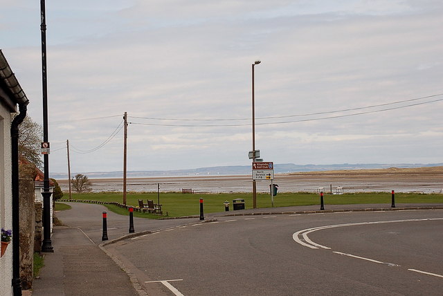
Aberlady Strip is a small but significant wooded area situated in East Lothian, Scotland. Covering an area of approximately 40 hectares, it is located on the outskirts of the picturesque village of Aberlady, just a few miles east of Edinburgh.
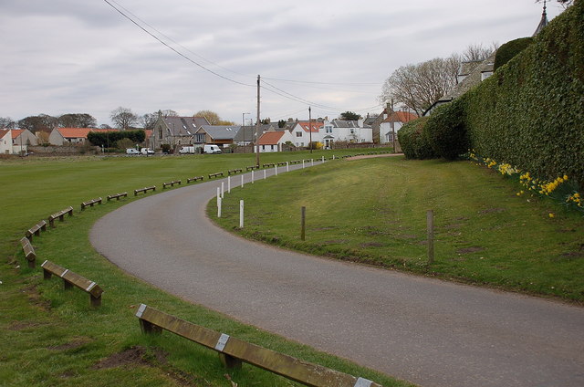
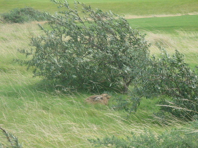
The strip is predominantly made up of woodland, with a variety of tree species including oak, beech, ash, and birch. The trees form a dense canopy, creating a sheltered and tranquil environment. The forest floor is covered in a thick carpet of moss and ferns, adding to the area's natural beauty.
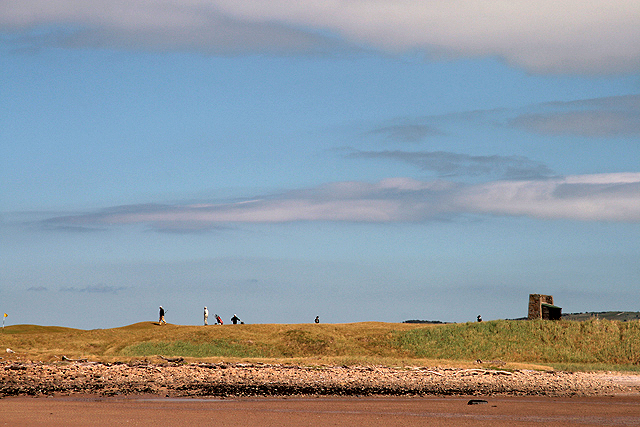
Aberlady Strip is a designated Site of Special Scientific Interest (SSSI) due to its ecological importance. It is home to a diverse range of flora and fauna, including rare and protected species such as the red squirrel and the great crested newt. The strip also provides a habitat for a wide variety of bird species, making it an ideal location for birdwatching enthusiasts.
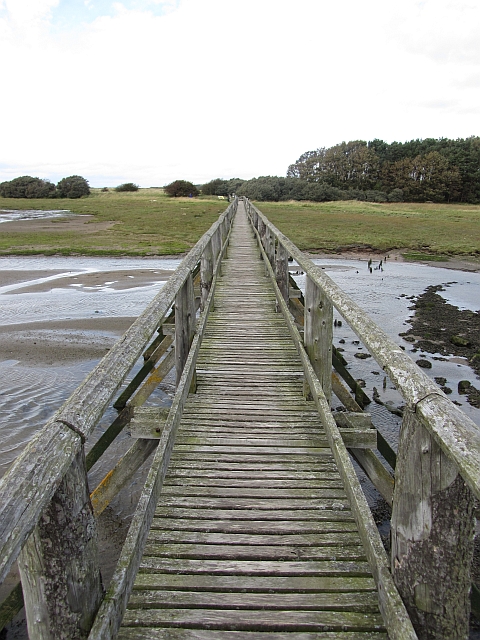
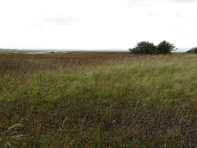
In addition to its ecological significance, Aberlady Strip is also popular among locals and visitors for recreational activities. There are several well-maintained walking trails that meander through the woodland, allowing visitors to explore the area and enjoy its peaceful atmosphere. The strip is also a popular spot for picnicking and nature photography.
Overall, Aberlady Strip is a valuable natural asset in East Lothian, offering a haven for wildlife and a peaceful retreat for both locals and tourists. Its combination of ecological importance and recreational opportunities make it a truly special place to visit.
If you have any feedback on the listing, please let us know in the comments section below.
Aberlady Strip Images
Images are sourced within 2km of 56.002586/-2.8616019 or Grid Reference NT4679. Thanks to Geograph Open Source API. All images are credited.
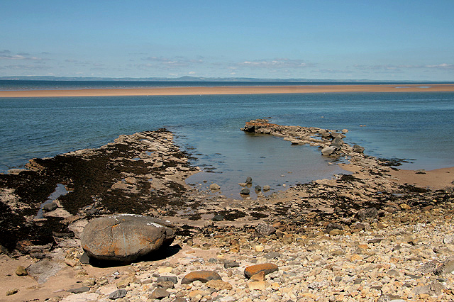
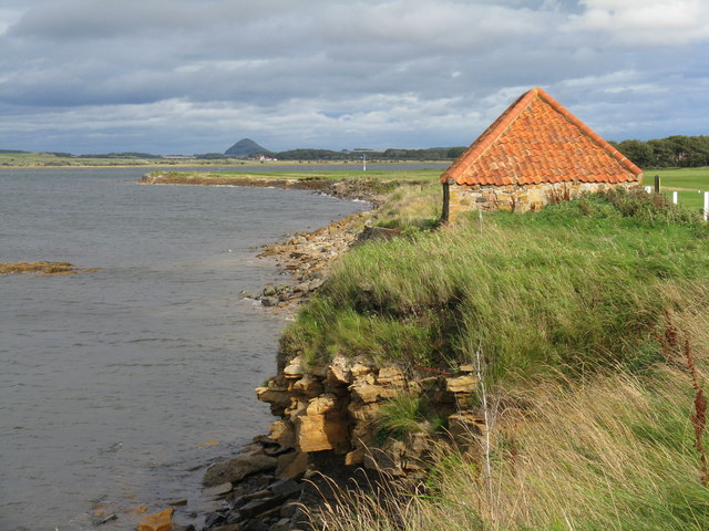
![Foreshore at Kilspindie Looking to Aberlady Bay [tide in] from the edge of Kilspindie Golf Course.](https://s2.geograph.org.uk/geophotos/02/59/68/2596854_0411c1be.jpg)
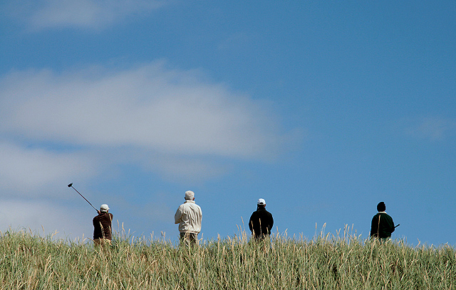
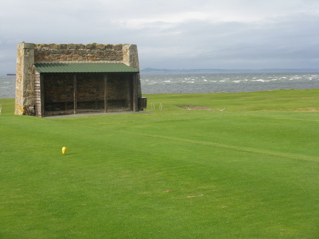
![Action on the 4th tee On a wild and windy day - balls going everywhere. Looking west from Kilspindie towards Cockenzie Power Station [left] and Arthur&#039;s Seat [right].](https://s1.geograph.org.uk/geophotos/02/59/68/2596861_06417aae.jpg)
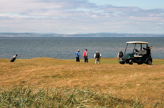
![Aberlady Bay from Kilspindie Looking east towards North Berwick Law [11km away].](https://s3.geograph.org.uk/geophotos/02/59/68/2596879_4918f7a9.jpg)
Aberlady Strip is located at Grid Ref: NT4679 (Lat: 56.002586, Lng: -2.8616019)
Unitary Authority: East Lothian
Police Authority: The Lothians and Scottish Borders
What 3 Words
///bribing.shed.pythons. Near Aberlady, East Lothian
Nearby Locations
Related Wikis
Aberlady railway station
Aberlady railway station served the village of Aberlady in Scotland. It was served by the Aberlady, Gullane and North Berwick railway. This line diverged...
Aberlady
Aberlady (Scots: Aiberleddy, Gaelic: Obar Lobhaite) is a coastal village in the Scottish council area of East Lothian. The village had an estimated population...

Kilspindie Castle
Kilspindie Castle lies north of the village of Aberlady, in East Lothian, Scotland; the remains of the castle are behind the Victorian St Mary's Kirk....

Gosford House
Gosford House is a neoclassical country house around 2 miles (3 km) northeast of Longniddry in East Lothian, Scotland, on the A198 Aberlady Road, in 5...
Nearby Amenities
Located within 500m of 56.002586,-2.8616019Have you been to Aberlady Strip?
Leave your review of Aberlady Strip below (or comments, questions and feedback).