Loany Wood
Wood, Forest in East Lothian
Scotland
Loany Wood
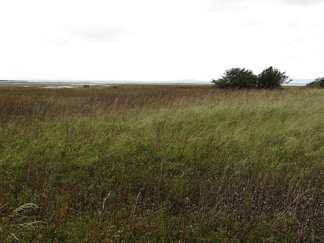
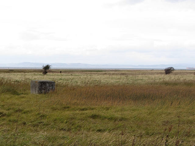
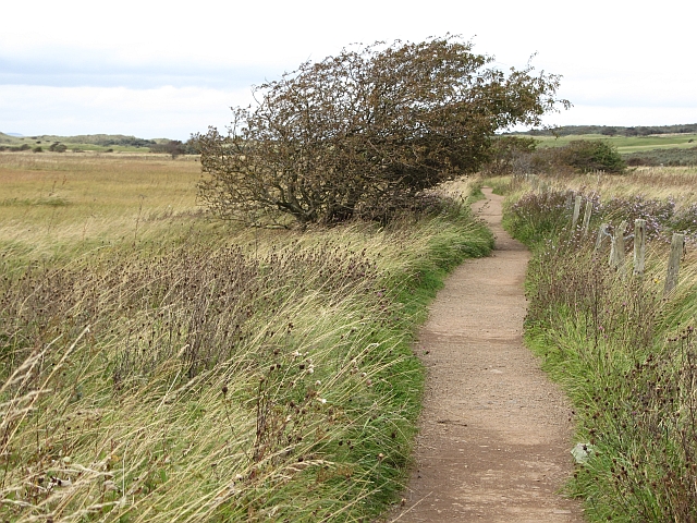
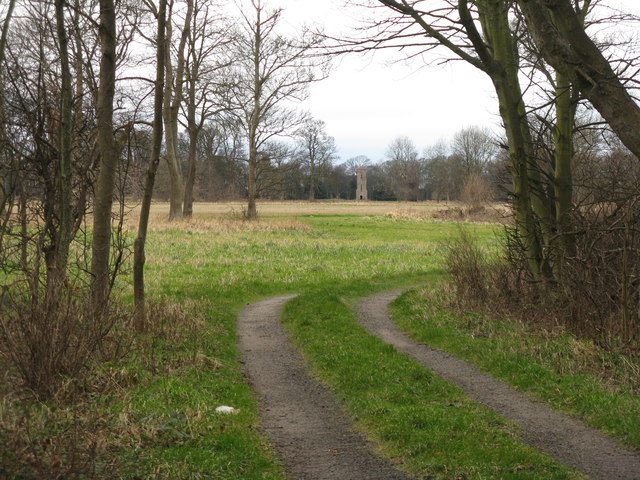
Loany Wood, located in East Lothian, is a picturesque forest known for its natural beauty and diverse flora and fauna. Spanning over a vast area, this woodland offers a serene escape from the hustle and bustle of daily life.
The forest is primarily composed of native broadleaf trees, including oak, beech, and birch, which create a dense canopy overhead. These trees provide a habitat for a wide array of wildlife, such as deer, foxes, and various bird species. Nature enthusiasts can enjoy birdwatching and exploring the woodland trails, which meander through the forest, offering glimpses of the local wildlife.
Loany Wood is a popular destination for outdoor activities, attracting hikers, walkers, and cyclists from both nearby communities and beyond. The well-maintained paths provide easy access for visitors of all ages and abilities. Additionally, the forest boasts a picnic area, allowing families and friends to gather and enjoy a meal amidst the tranquil surroundings.
One of the highlights of Loany Wood is the seasonal display of wildflowers. In spring, the forest floor is adorned with vibrant bluebells, creating a stunning carpet of color. This natural spectacle attracts photographers and nature lovers who come to capture the beauty of the woodland.
Overall, Loany Wood offers a peaceful retreat where visitors can immerse themselves in nature and enjoy the tranquility of the East Lothian countryside. Whether it's for a leisurely stroll, a family picnic, or wildlife spotting, this enchanting forest provides an idyllic escape for all who visit.
If you have any feedback on the listing, please let us know in the comments section below.
Loany Wood Images
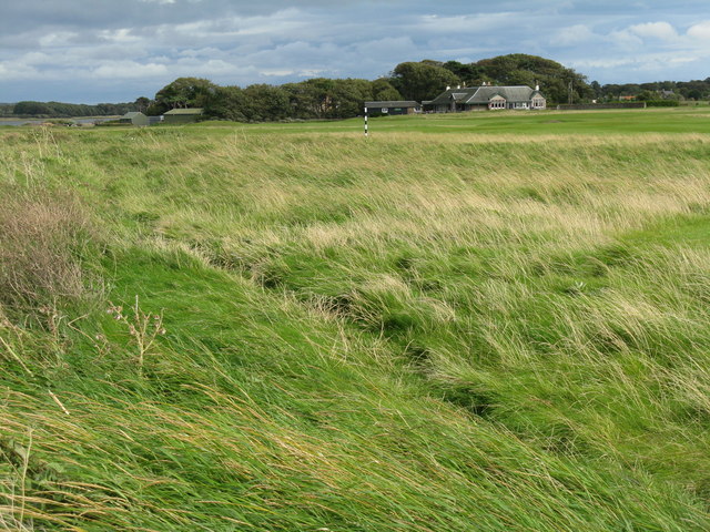
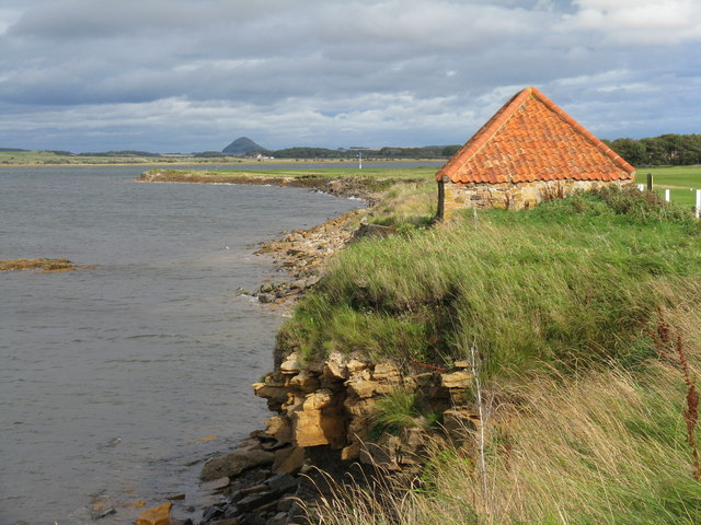
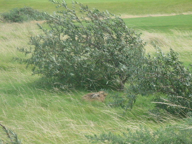
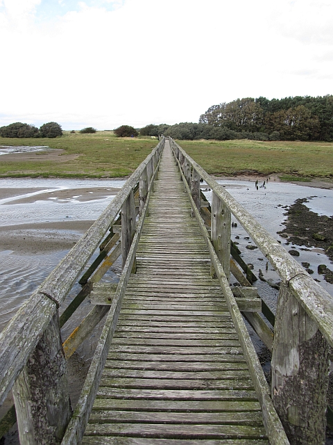
Images are sourced within 2km of 56.007564/-2.8563403 or Grid Reference NT4679. Thanks to Geograph Open Source API. All images are credited.
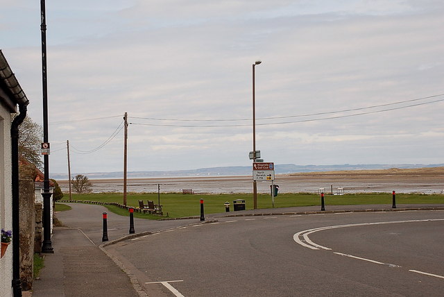
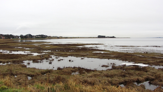
![Foreshore at Kilspindie Looking to Aberlady Bay [tide in] from the edge of Kilspindie Golf Course.](https://s2.geograph.org.uk/geophotos/02/59/68/2596854_0411c1be.jpg)
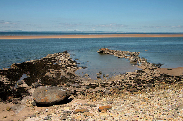
![Aberlady Bay from Kilspindie Looking east towards North Berwick Law [11km away].](https://s3.geograph.org.uk/geophotos/02/59/68/2596879_4918f7a9.jpg)
Loany Wood is located at Grid Ref: NT4679 (Lat: 56.007564, Lng: -2.8563403)
Unitary Authority: East Lothian
Police Authority: The Lothians and Scottish Borders
What 3 Words
///times.reset.crank. Near Aberlady, East Lothian
Nearby Locations
Related Wikis
Aberlady
Aberlady (Scots: Aiberleddy, Gaelic: Obar Lobhaite) is a coastal village in the Scottish council area of East Lothian. The village had an estimated population...
Aberlady railway station
Aberlady railway station served the village of Aberlady in Scotland. It was served by the Aberlady, Gullane and North Berwick railway. This line diverged...

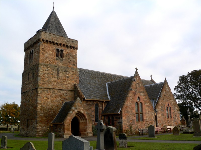
Kilspindie Castle
Kilspindie Castle lies north of the village of Aberlady, in East Lothian, Scotland; the remains of the castle are behind the Victorian St Mary's Kirk....

Luffness Castle
Luffness Castle, also known as Luffness House, is a house built in a former fortification near the village of Aberlady, East Lothian, Scotland. ��2�...

Luffness
Luffness is a hamlet in East Lothian, Scotland. It lies between the towns of Gullane and Aberlady and is approximately 20 miles east of Edinburgh. ��2...

Aberlady Bay
Aberlady Bay in East Lothian, Scotland lies between Aberlady and Gullane. In 1952, Aberlady Bay became the UK's first Local Nature Reserve (LNR) and is...

Gosford House
Gosford House is a neoclassical country house around 2 miles (3 km) northeast of Longniddry in East Lothian, Scotland, on the A198 Aberlady Road, in 5...

Ballencrieff, East Lothian
Ballencrieff (Scottish Gaelic: Baile na Craoibhe) is a rural community in East Lothian, Scotland. It is located between the towns of Aberlady, Drem, Haddington...
Nearby Amenities
Located within 500m of 56.007564,-2.8563403Have you been to Loany Wood?
Leave your review of Loany Wood below (or comments, questions and feedback).