Haddington Place
Settlement in East Lothian
Scotland
Haddington Place
Haddington Place is a charming town located in East Lothian, Scotland. Situated just 20 miles east of Edinburgh, it serves as the administrative center of the region. With a population of approximately 9,000 residents, Haddington Place is known for its rich history, stunning architecture, and picturesque landscapes.
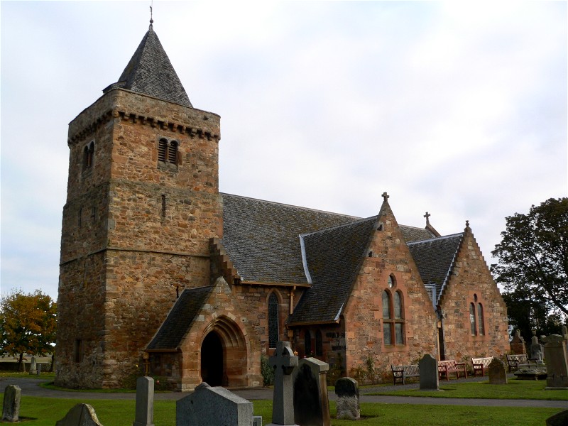
One of the town's standout features is the Haddington Town House, a grand building constructed in the 18th century. This iconic landmark now serves as a venue for various community events and exhibitions. Another architectural gem is St. Mary's Collegiate Church, a magnificent medieval structure that stands as a testament to the town's religious heritage.
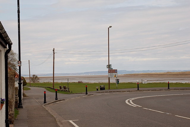
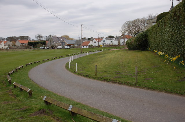
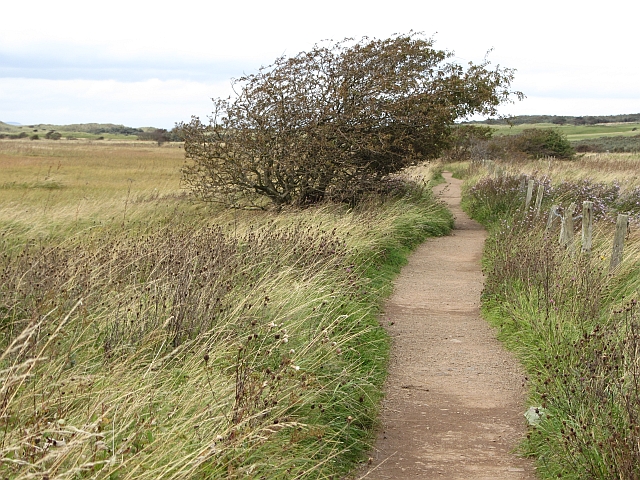
Nature enthusiasts are drawn to Haddington Place for its natural beauty. The banks of the River Tyne, which runs through the town, provide a scenic setting for walks and picnics. Nearby, the John Muir Way offers hikers a chance to explore the stunning East Lothian countryside, with breathtaking views of rolling hills and coastal landscapes.
The town also boasts a vibrant local economy, with a range of independent shops, cafes, and restaurants lining its historic streets. The monthly farmers' market is a popular event, showcasing the region's finest local produce.
Haddington Place is also well-connected to transportation links, making it easily accessible for visitors. The A1 road runs through the town, offering convenient access to both Edinburgh and the wider East Lothian area.
Overall, Haddington Place offers a unique blend of history, natural beauty, and community spirit, making it a truly delightful place to visit or call home.
If you have any feedback on the listing, please let us know in the comments section below.
Haddington Place Images
Images are sourced within 2km of 56.009542/-2.8574746 or Grid Reference NT4679. Thanks to Geograph Open Source API. All images are credited.
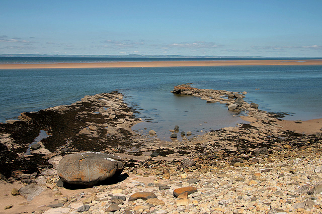
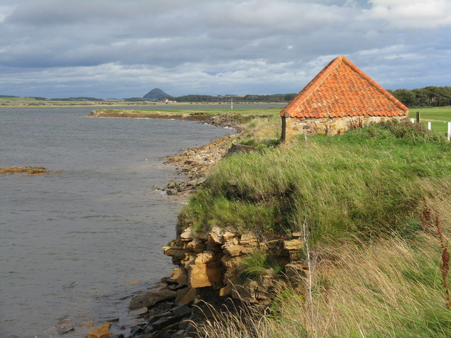
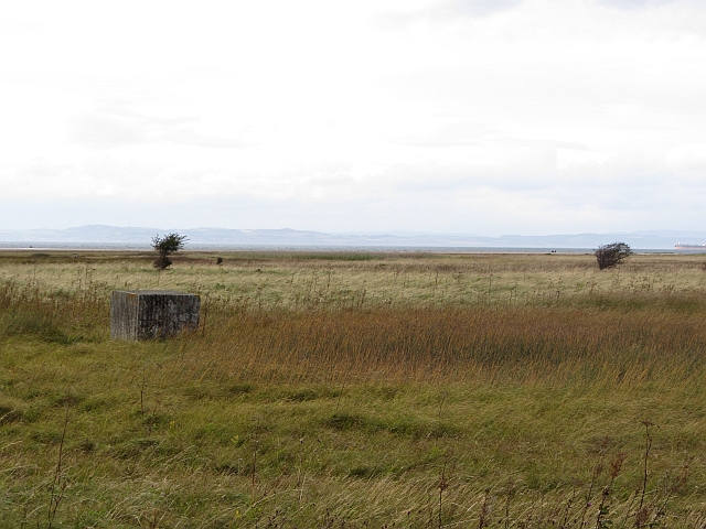
![Foreshore at Kilspindie Looking to Aberlady Bay [tide in] from the edge of Kilspindie Golf Course.](https://s2.geograph.org.uk/geophotos/02/59/68/2596854_0411c1be.jpg)
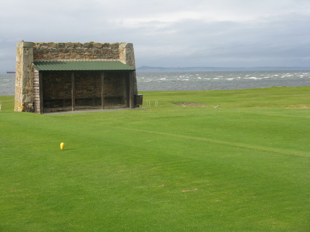
![Action on the 4th tee On a wild and windy day - balls going everywhere. Looking west from Kilspindie towards Cockenzie Power Station [left] and Arthur's Seat [right].](https://s1.geograph.org.uk/geophotos/02/59/68/2596861_06417aae.jpg)
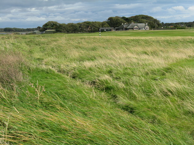
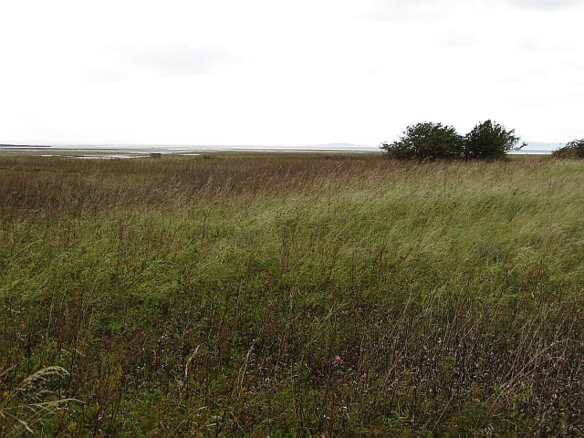
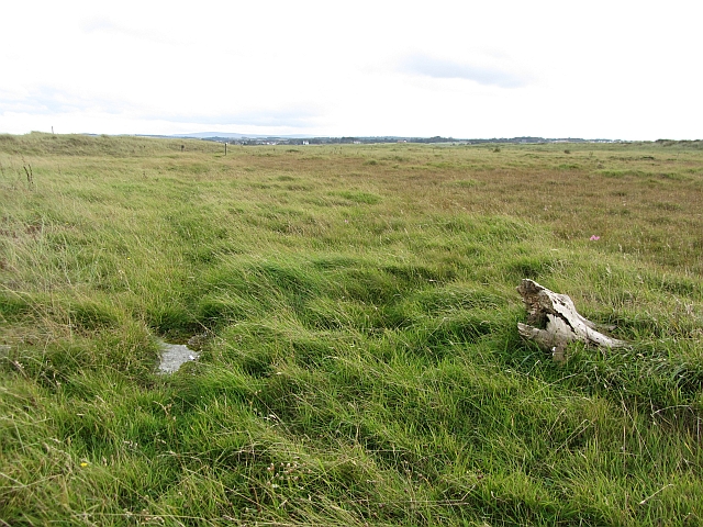
![Aberlady Bay from Kilspindie Looking east towards North Berwick Law [11km away].](https://s3.geograph.org.uk/geophotos/02/59/68/2596879_4918f7a9.jpg)
Haddington Place is located at Grid Ref: NT4679 (Lat: 56.009542, Lng: -2.8574746)
Unitary Authority: East Lothian
Police Authority: The Lothians and Scottish Borders
What 3 Words
///launch.cabin.purifier. Near Aberlady, East Lothian
Nearby Locations
Related Wikis
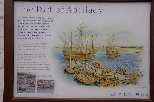
Aberlady
Aberlady (Scots: Aiberleddy, Gaelic: Obar Lobhaite) is a coastal village in the Scottish council area of East Lothian. The village had an estimated population...

Kilspindie Castle
Kilspindie Castle lies north of the village of Aberlady, in East Lothian, Scotland; the remains of the castle are behind the Victorian St Mary's Kirk....
Aberlady railway station
Aberlady railway station served the village of Aberlady in Scotland. It was served by the Aberlady, Gullane and North Berwick railway. This line diverged...

Luffness Castle
Luffness Castle, also known as Luffness House, is a house built in a former fortification near the village of Aberlady, East Lothian, Scotland. ��2�...

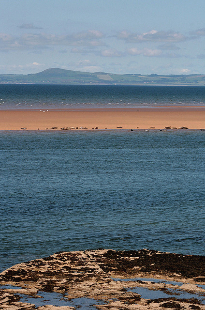
Aberlady Bay
Aberlady Bay in East Lothian, Scotland lies between Aberlady and Gullane. In 1952, Aberlady Bay became the UK's first Local Nature Reserve (LNR) and is...

Luffness
Luffness is a hamlet in East Lothian, Scotland. It lies between the towns of Gullane and Aberlady and is approximately 20 miles east of Edinburgh. ��2...

Gosford House
Gosford House is a neoclassical country house around 2 miles (3 km) northeast of Longniddry in East Lothian, Scotland, on the A198 Aberlady Road, in 5...
Luffness Platform railway station
Luffness Platform (also known as Luffness Golf Club Halt) served a golf course near Gullane in Scotland. It was served by the Aberlady, Gullane and North...
Nearby Amenities
Located within 500m of 56.009542,-2.8574746Have you been to Haddington Place?
Leave your review of Haddington Place below (or comments, questions and feedback).