Haddingley

Settlement in Yorkshire

England

Haddingley

Muddy field entrance on High Moor Lane, Shepley The bridleway is mostly dry after this muddy start.
Muddy field entrance on High Moor Lane, Shepley Credit: Humphrey Bolton

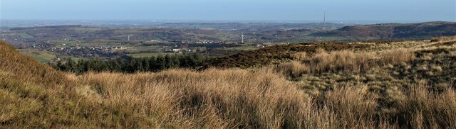
Haddingley is a small village located in the county of Yorkshire, England. Situated in the picturesque countryside, it is nestled between rolling hills and lush green fields. The village is part of the administrative district of Leeds and falls under the jurisdiction of West Yorkshire.

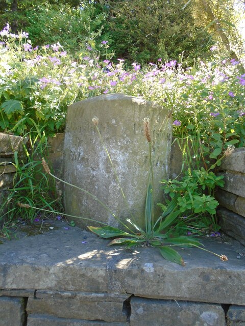
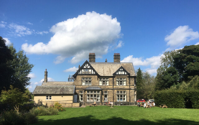
Haddingley has a rich history dating back several centuries. The village is known for its charming architecture, with many buildings featuring traditional Yorkshire stone construction. The village center is dominated by a historic church, which stands as a testament to the area's religious heritage.

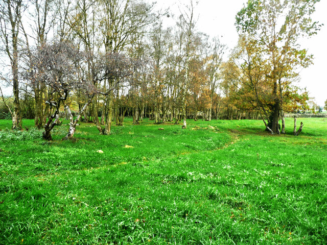
The community in Haddingley is tight-knit and friendly, with a population of around 500 residents. The village offers a peaceful and tranquil atmosphere, making it an ideal place for those seeking a break from the hustle and bustle of city life. The surrounding countryside provides ample opportunities for outdoor activities, such as hiking, cycling, and horseback riding.

Despite its small size, Haddingley is well-served in terms of amenities. The village boasts a local pub, a convenience store, and a post office, ensuring that residents have access to essential services without having to travel far. Additionally, Haddingley is within close proximity to larger towns and cities, such as Leeds and Wakefield, which offer a wider range of amenities and employment opportunities.

In summary, Haddingley offers a peaceful and idyllic setting, with a strong sense of community and a rich historical background. It is a place where residents can enjoy the beauty of the Yorkshire countryside while still having access to essential services and nearby urban centers.

If you have any feedback on the listing, please let us know in the comments section below.
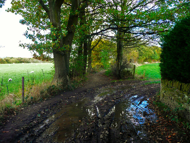
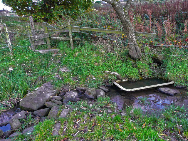
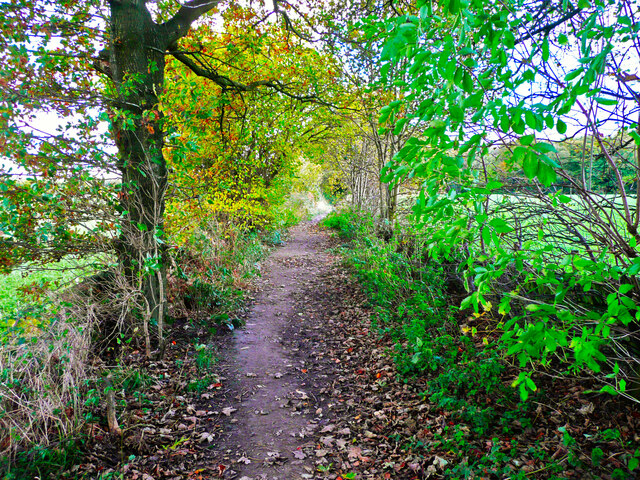
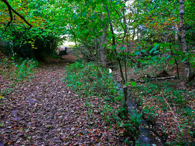
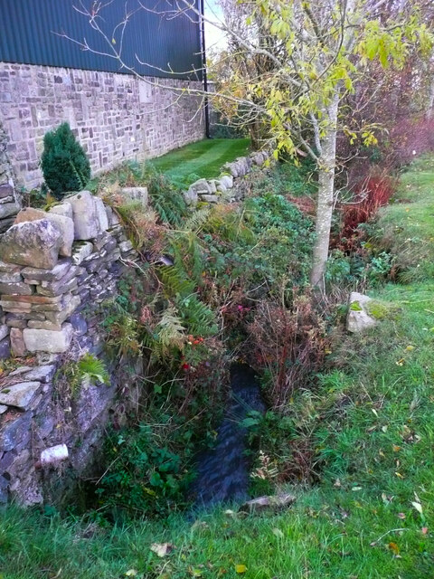
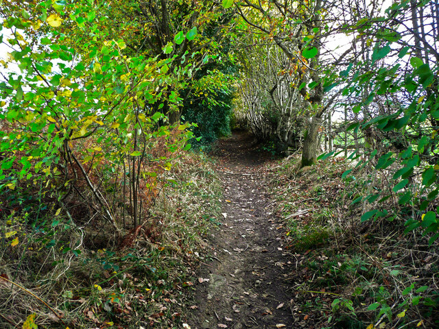
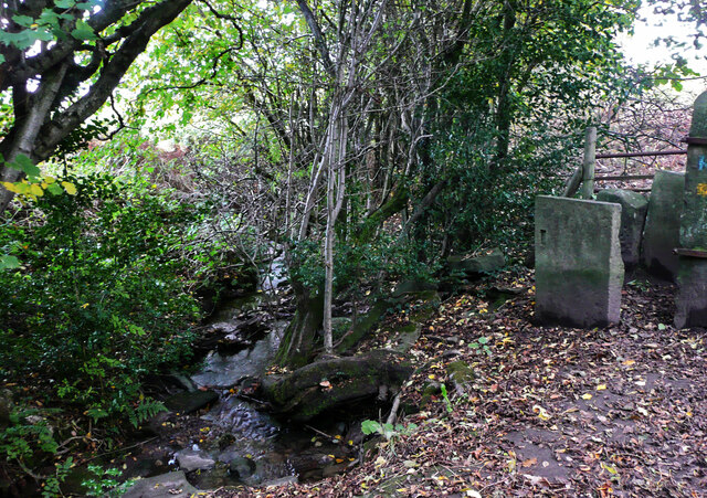
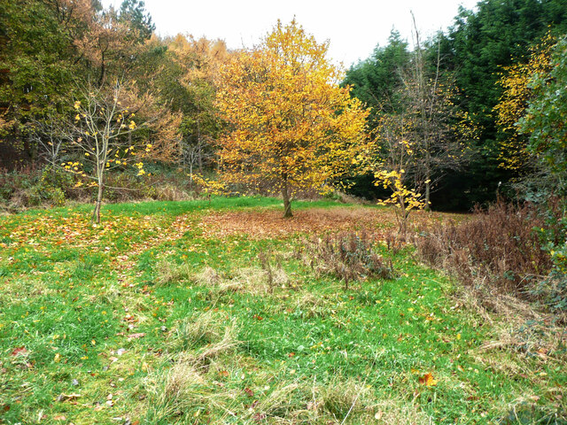
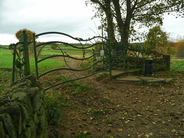
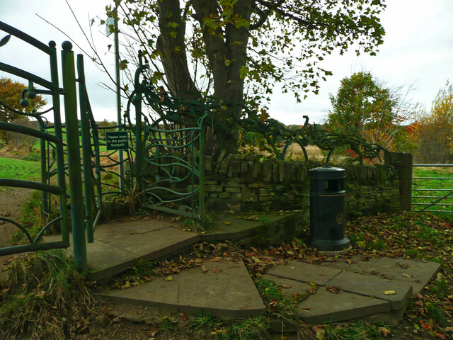
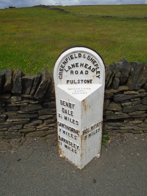
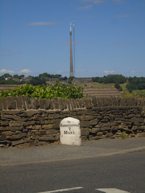
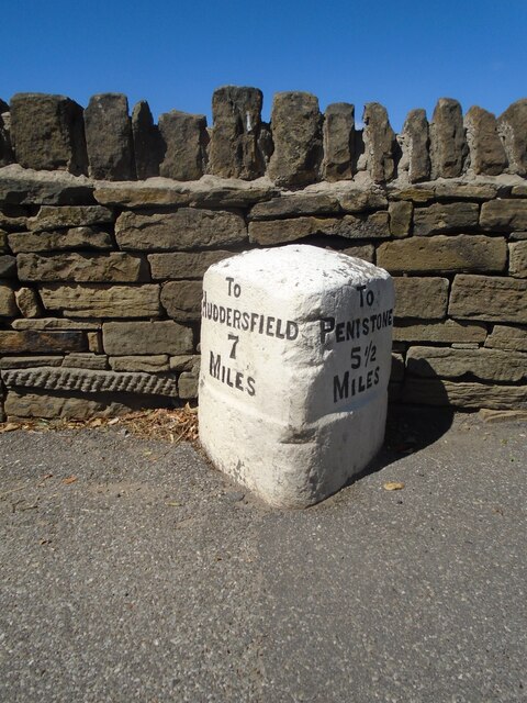
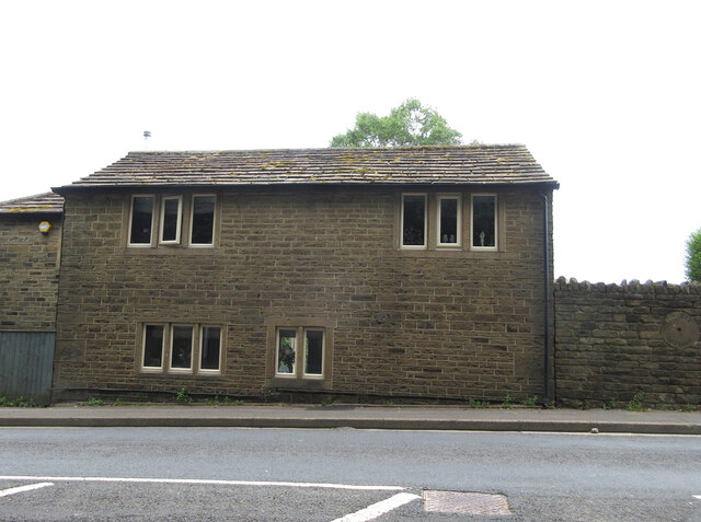
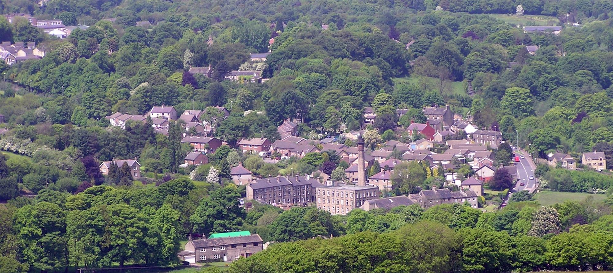
Haddingley Images

Images are sourced within 2km of 53.572302/-1.7134838 or Grid Reference SE1908. Thanks to Geograph Open Source API. All images are credited.

Muddy field entrance on High Moor Lane, Shepley The bridleway is mostly dry after this muddy start.
Muddy field entrance on High Moor Lane, Shepley
The bridleway is mostly dry after this muddy start.
Footpath crossing a stream, Shepley - Cumberworth This stream is here the boundary between Shepley and Cumberworth. It is not named on maps, but is the source tributary of Fenay Beck. The source is a spring below the A635. A bath has been sunk into the bed of the stream to provide a drinking trough for cattle.
Footpath crossing a stream, Shepley - Cumberworth
This stream is here the boundary between Shepley and Cumberworth. It is not named on maps, but is the source tributary of Fenay Beck. The source is a spring below the A635. A bath has been sunk into the bed of the stream to provide a drinking trough for cattle.
High Moor Lane, Shepley A pleasant bridleway.
High Moor Lane, Shepley
A pleasant bridleway.
High Moor Lane passing Yew Tree Wood, Shepley There is a little stream on the right, and a footpath branches off at the gate, where the bridleway bends to the right.
High Moor Lane passing Yew Tree Wood, Shepley
There is a little stream on the right, and a footpath branches off at the gate, where the bridleway bends to the right.
Stream emerging from a culvert under Carr Lane, Cumberworth This is a boundary stream, with Shepley on the left and Cumberworth on the right.
Stream emerging from a culvert under Carr Lane, Cumberworth
This is a boundary stream, with Shepley on the left and Cumberworth on the right.
High Moor Lane, Shepley
Stream leaving High Moor Lane, Shepley This is the stream that comes down through Yew Tree Wood. A stile at the start of a footpath to Copley Lane via Hardingley Farm is on the right.
Stream leaving High Moor Lane, Shepley
This is the stream that comes down through Yew Tree Wood. A stile at the start of a footpath to Copley Lane via Hardingley Farm is on the right.
Autumn colour, Upper Cumberworth Whilst exploring a footpath I found that it crosses a field apparently left to nature, with young trees and patches of brambles.  There is a seat behind the tree in the centre of the image, and I thought that this might be a Millennium green, but the nearest ones are at Emley and Clayton West; Upper Cumberworth has a small village garden.
Autumn colour, Upper Cumberworth
Whilst exploring a footpath I found that it crosses a field apparently left to nature, with young trees and patches of brambles. There is a seat behind the tree in the centre of the image, and I thought that this might be a Millennium green, but the nearest ones are at Emley and Clayton West; Upper Cumberworth has a small village garden.
Area of springs, Upper Cumberworth There is water amongst the grass in this area, especially in hollows amongst the birch trees on the other side of the footpath.
Area of springs, Upper Cumberworth
There is water amongst the grass in this area, especially in hollows amongst the birch trees on the other side of the footpath.
View from Snailsden Moor View from Snailsden Moor towards Emley Moor TV mast.
View from Snailsden Moor
View from Snailsden Moor towards Emley Moor TV mast.
Old milestone This milestone is set into the garden wall of Salt Pie Cottage on the A629 between High Flatts and Birds Edge.  The owners rebuilt the wall to show more of the milestone and on a very sunny day it is surrounded by flowers, possibly of the mallow family.   It is 9 miles to Huddersfield and 3¼ to Penistone on the old tollroad.  Grade II listed 1135304.
Old milestone
This milestone is set into the garden wall of Salt Pie Cottage on the A629 between High Flatts and Birds Edge. The owners rebuilt the wall to show more of the milestone and on a very sunny day it is surrounded by flowers, possibly of the mallow family. It is 9 miles to Huddersfield and 3¼ to Penistone on the old tollroad. Grade II listed 1135304.
Cliffe House, Shepley Photographed during the 2021 artinthehouse event.
Cliffe House, Shepley
Photographed during the 2021 artinthehouse event.
Millennium Gate, Jenkyn Lane, Shepley See <span class="nowrap"><a title="https://www.shepleyvillage.org/village-association-news-august-2014/" rel="nofollow ugc noopener" href="https://www.shepleyvillage.org/village-association-news-august-2014/">Link</a><img style="margin-left:2px;" alt="External link" title="External link - shift click to open in new window" src="https://s1.geograph.org.uk/img/external.png" width="10" height="10"/></span> for a better photograph.
Millennium Gate, Jenkyn Lane, Shepley
See LinkExternal link for a better photograph.
Part of the Millennium Gate, Jenkyn Lane, Shepley This is a revisit to the first geograph for the square: <a href="https://www.geograph.org.uk/photo/81818">SE1809 : Ornate Gateway on the Kirklees Way</a> taken in June 2005. I litter bin has been provided and the foot gate now has a sign asking people to keep to the public footpath.
Part of the Millennium Gate, Jenkyn Lane, Shepley
This is a revisit to the first geograph for the square: SE1809 : Ornate Gateway on the Kirklees Way taken in June 2005. I litter bin has been provided and the foot gate now has a sign asking people to keep to the public footpath.
Old milestone On the A635 from Shepley Lane Head down into New Mills and Holmfirth is a West Riding CC 19C milestone which is the last in the series east from Greenfield which used to be in Yorkshire.  The tollroad from Greenfield to Shepley Lane Head was first enacted in 1823. The milestone is opposite Gate Foot Lane and a pub.   This used to be the Crossroads PH then renamed Toss 'o Coin now derelict.   This metal attachment has the name of the foundry on the bevel, Brayshaw & Booth/Makers/Liversedge.  The stone is painted black.  Grade II listed 1313617.
Old milestone
On the A635 from Shepley Lane Head down into New Mills and Holmfirth is a West Riding CC 19C milestone which is the last in the series east from Greenfield which used to be in Yorkshire. The tollroad from Greenfield to Shepley Lane Head was first enacted in 1823. The milestone is opposite Gate Foot Lane and a pub. This used to be the Crossroads PH then renamed Toss 'o Coin now derelict. This metal attachment has the name of the foundry on the bevel, Brayshaw & Booth/Makers/Liversedge. The stone is painted black. Grade II listed 1313617.
Old milestone A view across the A629 in Shepley.   The milestone has been painted recently.   But in the distance the two masts of Emley Moor Transmitter.  The shorter one was a replacement for the original which collapsed from the weight of snow in 1963.   Now that needs repairs and alterations so the thinner structure has been set up beside it.
Old milestone
A view across the A629 in Shepley. The milestone has been painted recently. But in the distance the two masts of Emley Moor Transmitter. The shorter one was a replacement for the original which collapsed from the weight of snow in 1963. Now that needs repairs and alterations so the thinner structure has been set up beside it.
Old milestone A close-up of the milestone on Abbey Road in Shepley, the A629.   It may have been defaced at some time, 1940?, but the legend has been recut and the stone is well-maintained.   Grade II listed 1135384.
Old milestone
A close-up of the milestone on Abbey Road in Shepley, the A629. It may have been defaced at some time, 1940?, but the legend has been recut and the stone is well-maintained. Grade II listed 1135384.
Toll Bar Cottage, Shepley Former Toll House on the Eastern side of Lane Head Road (A629). Known as Bar House 1859.  
It served the Huddersfield & Penistone Turnpike Trust in the 18ᵗʰ & 19ᵗʰ C.

Milestone Society National ID: YW.SHE
Toll Bar Cottage, Shepley
Former Toll House on the Eastern side of Lane Head Road (A629). Known as Bar House 1859. It served the Huddersfield & Penistone Turnpike Trust in the 18ᵗʰ & 19ᵗʰ C. Milestone Society National ID: YW.SHE
Show me another place!

Haddingley is located at Grid Ref: SE1908 (Lat: 53.572302, Lng: -1.7134838)

Division: West Riding

Unitary Authority: Kirklees

Police Authority: West Yorkshire

What 3 Words

///clenching.will.reckon. Near Shepley, West Yorkshire

Related Wikis

Birdsedge

Birdsedge (or Birds Edge) is a small village in the borough of Kirklees in West Yorkshire, England, on the edge of Yorkshire's Pennine Hills, standing...

Shepley

Shepley is a village in the civil parish of Kirkburton, in Kirklees, West Yorkshire, England. It lies 8 miles (13 km) south south east of Huddersfield...

Shepley railway station

Shepley railway station serves the villages of Shepley and Shelley in West Yorkshire, England. It lies on the Penistone Line operated by Northern. Opened...

A635 road

The A635 is a main road that runs between Manchester and Doncaster running east–west through Stalybridge, Saddleworth Moor, Holmfirth, Barnsley and the...

Upper Cumberworth

Upper Cumberworth is a small village in West Yorkshire, England, within the civil parish of Denby Dale and the Diocese of Wakefield. It is between the...

New Mill, West Yorkshire

New Mill, West Yorkshire, England, is a small, semi-rural village near the town of Holmfirth. It is in the metropolitan borough of Kirklees and the civil...

Shelley railway station

Shelley railway station forms the western terminus of the Whistlestop Valley and serves the village of Shelley, West Yorkshire. England. There was never...

Stocksmoor railway station

Stocksmoor railway station serves the village of Stocksmoor near Huddersfield in West Yorkshire, England. The station is 6.25 miles (10 km) from Huddersfield...

Nearby Amenities

Located within 500m of 53.572302,-1.7134838
Haddingley
Place: hamlet
Lat/Long: 53.5728201/-1.7148747
Post Box
Collection Times: Mo-Fr 16:45; Sa 11:30
Operator: Royal Mail
Post Box Type: lamp
Ref: HD8 171
Royal Cypher: EIIR
Royal Cypher Wikidata: Q33102113
Source: survey
Lat/Long: 53.5758858/-1.7105819
Post Box
Collection Times: Mo-Fr 09:00; Sa 07:00
Operator: Royal Mail
Post Box Type: lamp
Ref: HD8 441D
Royal Cypher: EIIR
Royal Cypher Wikidata: Q33102113
Source: survey
Lat/Long: 53.5723795/-1.7135768
Street Lamp
Lamp Mount: straight_mast
Lamp Type: led
Source: survey
Support: pole
Support Material: wood
Lat/Long: 53.5735686/-1.7142871
Piper Junction
Junction: yes
Lat/Long: 53.5722754/-1.7133932
Moose Self Storage
Shop: storage_rental
Lat/Long: 53.5750491/-1.70882
Sovereign Garage
Shop: car_repair
Lat/Long: 53.5750086/-1.7086228
Goodalls Caravans
Shop: caravan
Lat/Long: 53.5748542/-1.7077411
CWS Home Improvements
Craft: window_construction
Lat/Long: 53.5749308/-1.7083632
Street Lamp
Lamp Mount: straight_mast
Lamp Type: led
Source: survey
Support: pole
Support Material: wood
Lat/Long: 53.5741843/-1.7134894
The data included in this document is from www.openstreetmap.org. The data is made available under ODbL.

Have you been to Haddingley?

Leave your review of Haddingley below (or comments, questions and feedback).