Hackney Marsh
Settlement in Middlesex
England
Hackney Marsh

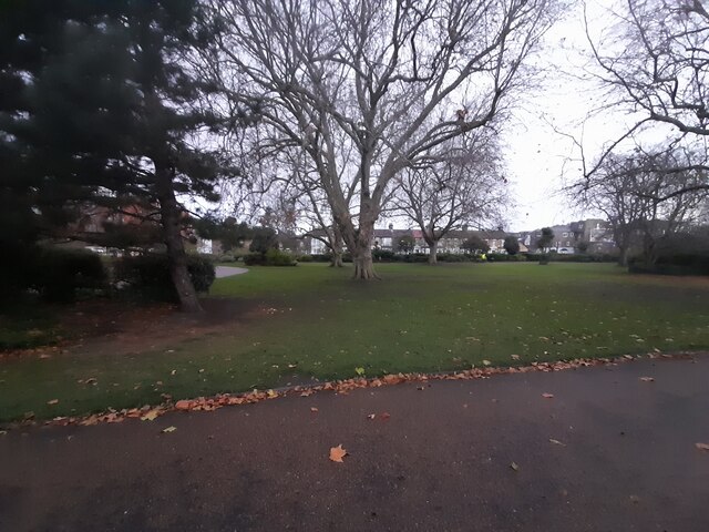
Hackney Marsh, located in the historical county of Middlesex in England, is a vast open space that stretches across the boroughs of Hackney and Waltham Forest. This expansive area covers approximately 136 hectares and is a popular destination for both locals and tourists seeking a peaceful retreat from the bustling city of London.
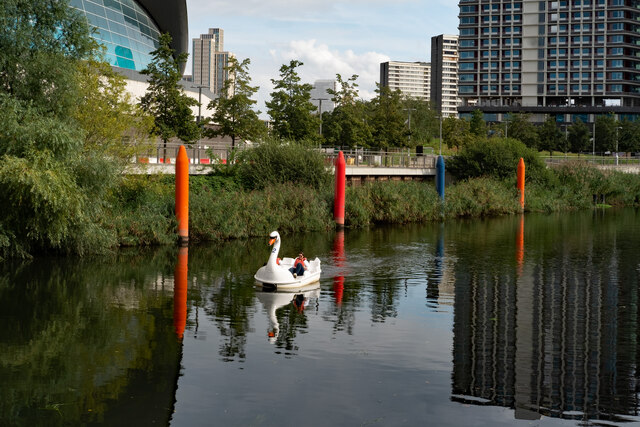
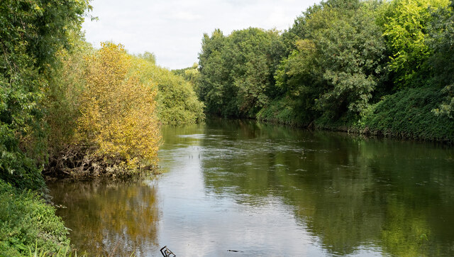
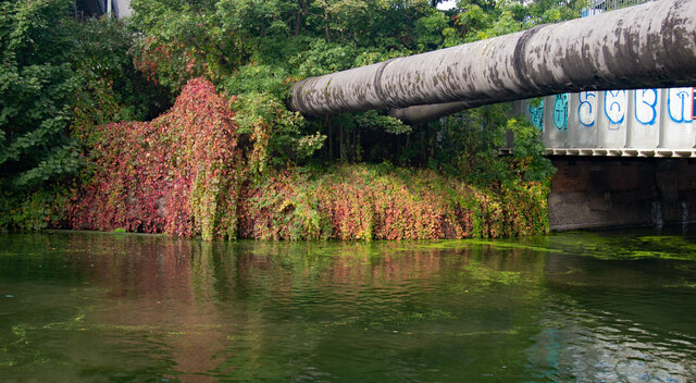
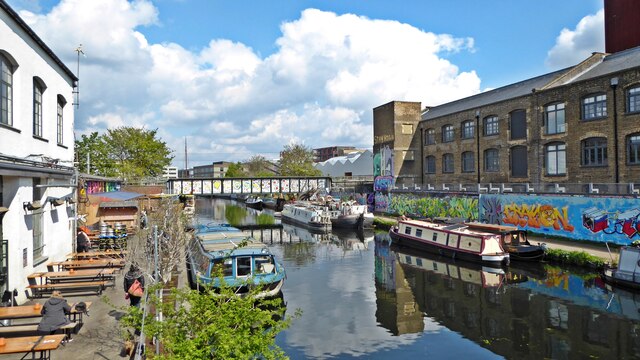
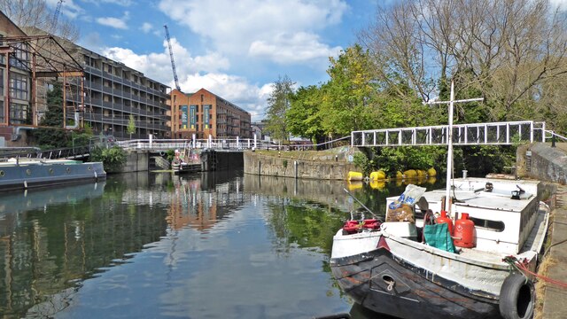
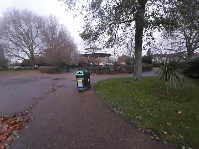
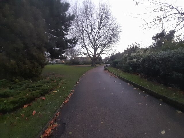
Hackney Marsh is predominantly made up of meadows, wetlands, and playing fields, providing ample opportunities for recreational activities. It is intersected by the River Lea, with several small waterways and canals running through it, making it an ideal location for boating and fishing enthusiasts.
The marshland is also home to a diverse range of flora and fauna, making it an important habitat for wildlife. Many bird species, including swans, ducks, and herons, can be spotted throughout the year, attracting birdwatchers and nature enthusiasts. The area is also known for its wildflower meadows, which are a sight to behold during the spring and summer months.
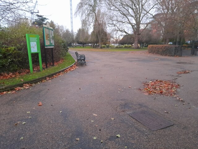
The marshland has a rich history, with evidence of human activity dating back to the Roman era. Throughout the years, it has served various purposes, including grazing land for livestock and military training ground during World War II. Today, it is primarily used for recreational purposes, with numerous sports facilities, including football pitches, cricket grounds, and tennis courts available for public use.
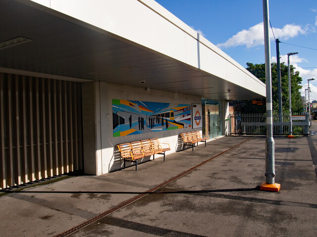
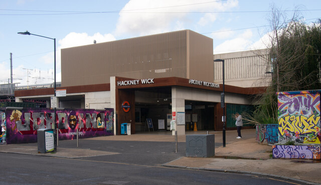
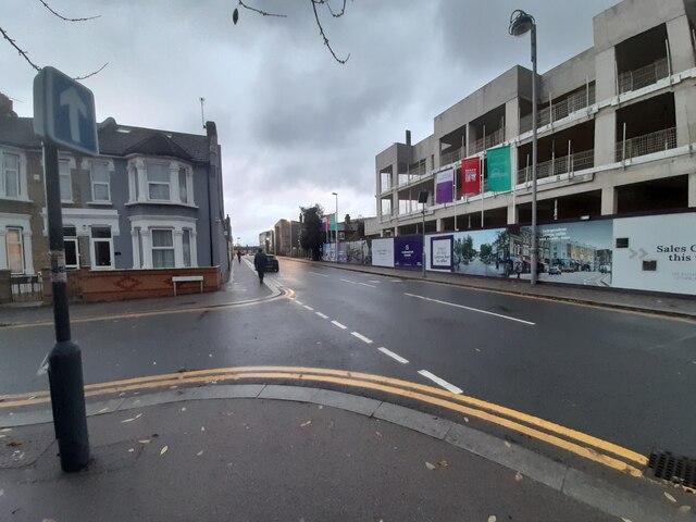
Hackney Marsh is easily accessible, with several entrances and car parks available for visitors. The area is well-served by public transport, with Hackney Wick and Homerton stations providing convenient access. Overall, Hackney Marsh offers a scenic and tranquil escape from the urban environment, providing a haven for both nature enthusiasts and sports lovers alike.
If you have any feedback on the listing, please let us know in the comments section below.
Hackney Marsh Images
Images are sourced within 2km of 51.551998/-0.021273453 or Grid Reference TQ3785. Thanks to Geograph Open Source API. All images are credited.

Hackney Marsh is located at Grid Ref: TQ3785 (Lat: 51.551998, Lng: -0.021273453)
Unitary Authority: Hackney
Police Authority: Metropolitan
What 3 Words
///share.range.crust. Near Hackney, London
Nearby Locations
Related Wikis

Eastern Avenue, London
The Eastern Avenue is one of the main roads leading out of London. The 10-mile (16 km) road is part of the A12, a 129-mile road connecting Blackwall in...

Riverbank Arena
The Riverbank Arena was a stadium in the Olympic Park, in Hackney Wick, London, United Kingdom, containing a water-based astroturf. == History == The Riverbank...

Field hockey at the 2012 Summer Olympics
Field hockey at the 2012 Olympic Games in London took place from 29 July to 11 August at the Riverbank Arena within the Olympic Park. On 13 November 2010...

Lower Lea Valley
The Lower Lea Valley is the southern end of the Lea Valley which surrounds the River Lea in eastern Greater London. It is part of the Thames Gateway redevelopment...
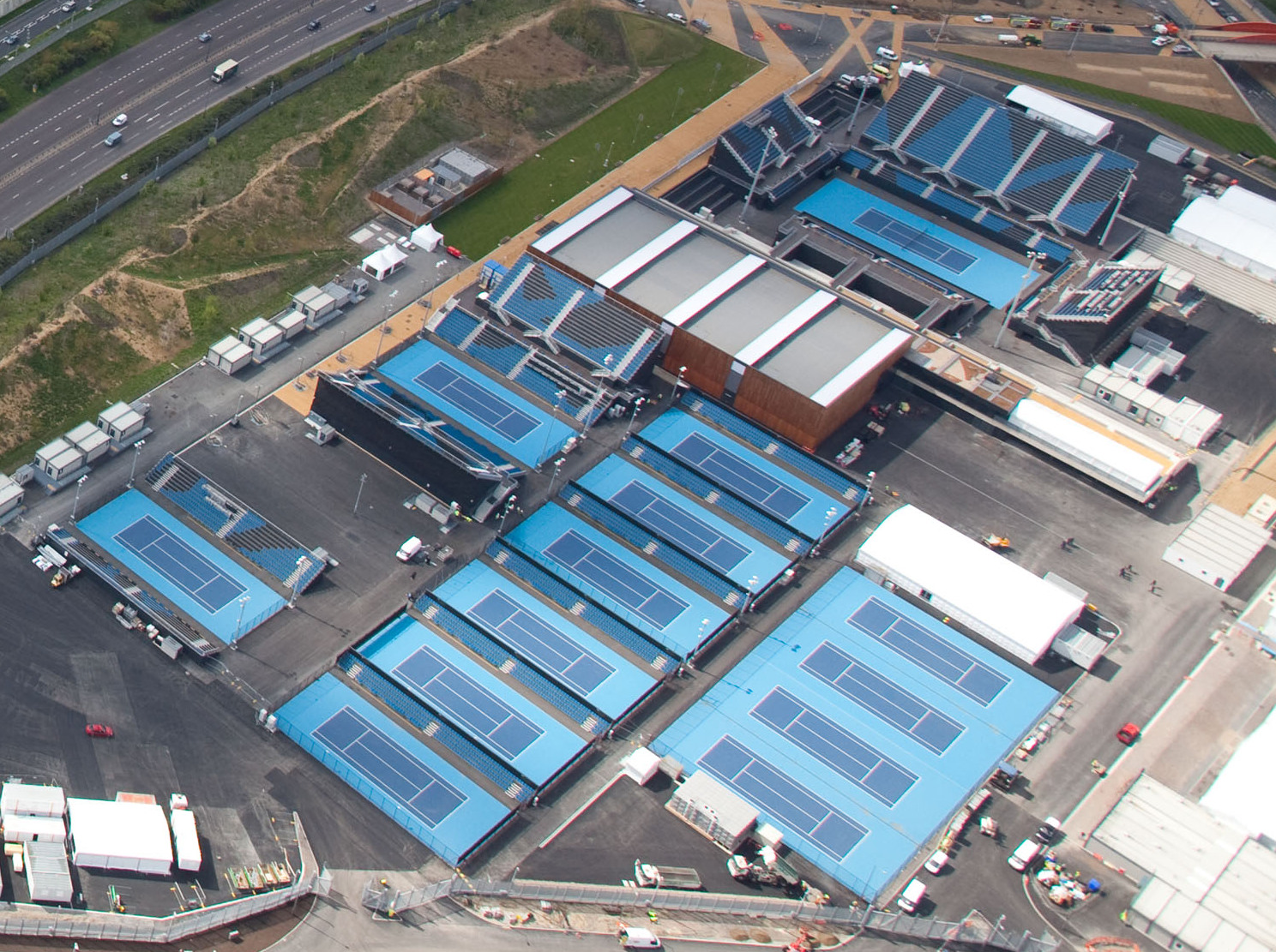
Lee Valley Hockey and Tennis Centre
Lee Valley Hockey and Tennis Centre is a sports and leisure venue located in Leyton, London Borough of Waltham Forest, to the north of Queen Elizabeth...

Lee Valley VeloPark
Lee Valley VeloPark is a cycling centre in Queen Elizabeth Olympic Park in Stratford, London, England. It is owned and managed by Lee Valley Regional Park...
Eton Manor Boys' Club
Eton Manor Boys' Club was a boys' sports club in London, England. == History == === Establishment === Eton Manor Boys' Club takes its name from Eton College...
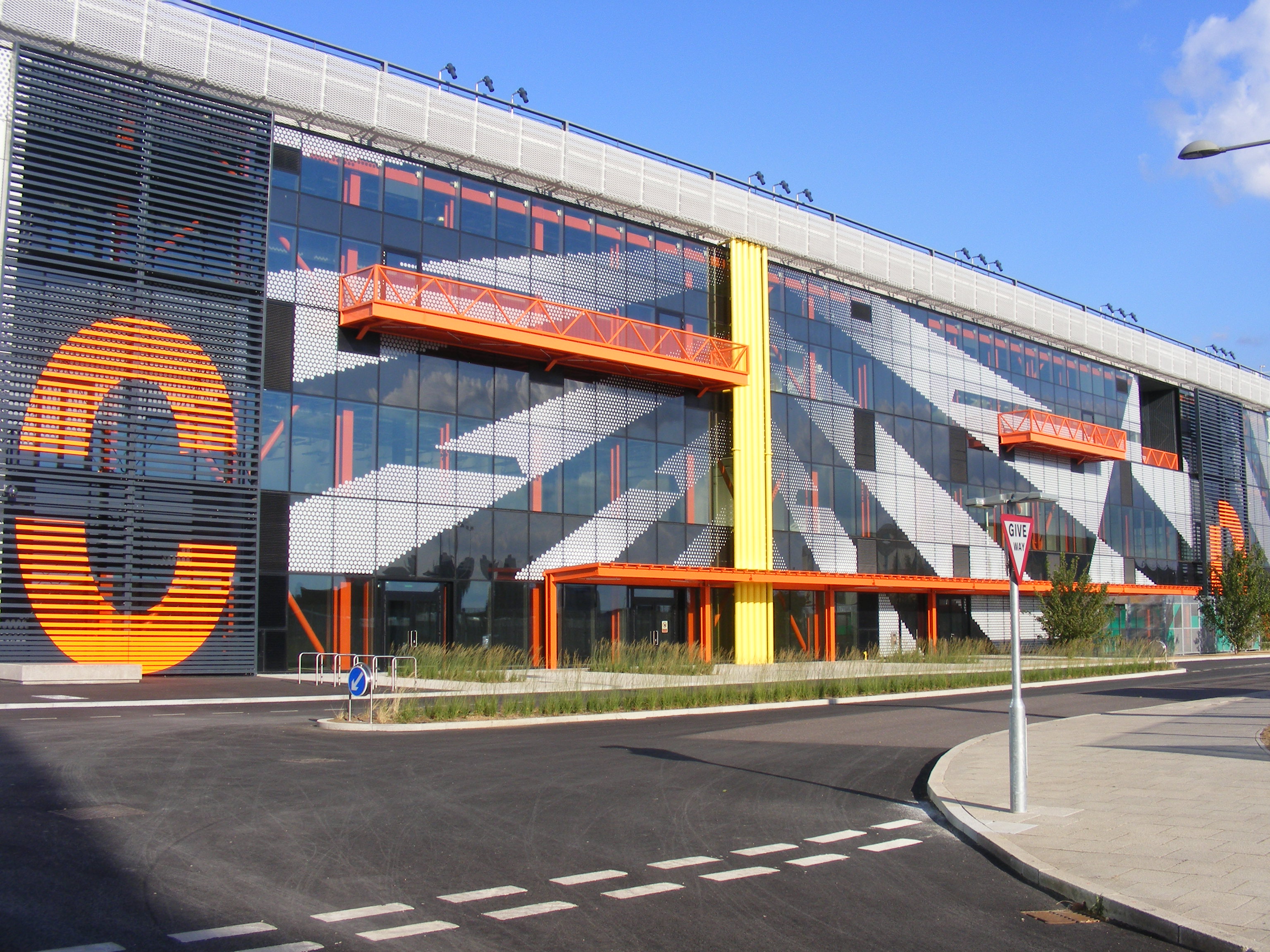
Here East
Here East is a media complex located in the Olympic Park in East London, built specially for the 2012 London Olympics. It is located at the site of the...
Nearby Amenities
Located within 500m of 51.551998,-0.021273453Have you been to Hackney Marsh?
Leave your review of Hackney Marsh below (or comments, questions and feedback).