Temple Mills
Settlement in Middlesex
England
Temple Mills
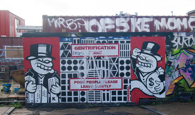
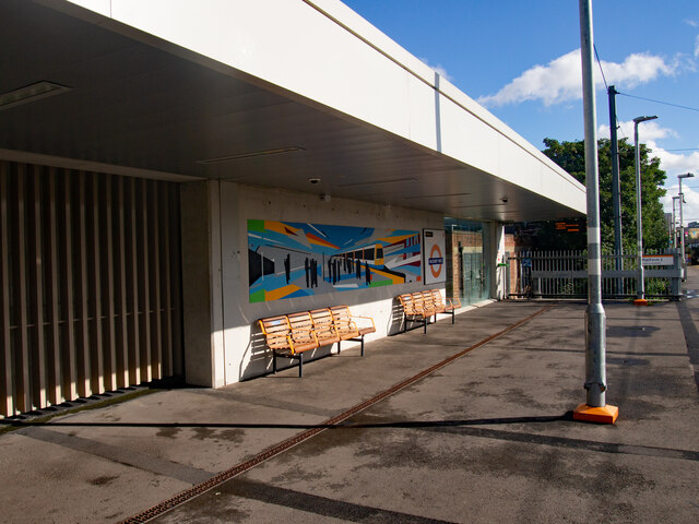
Temple Mills is a former industrial area located in the borough of Newham, in the county of Middlesex, England. It is situated approximately six miles east of central London, on the banks of the River Lea. The area is known for its historical significance as an important industrial hub during the 19th and 20th centuries.
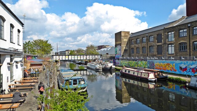
Originally, Temple Mills was a rural area with farms and meadows, surrounded by open spaces and countryside. However, with the advent of the Industrial Revolution, the area experienced significant changes. In the mid-19th century, the construction of the Lea Bridge railway station and the Great Eastern Railway's main line transformed Temple Mills into a major transportation hub. This led to the establishment of various industries, including a gasworks, a water pumping station, and the world-famous Temple Mills Rolling Stock Yard.
One of the most notable landmarks in Temple Mills is the Grade II* listed Temple Mills Lane Bridge, which was built in 1839 and still stands today as a testament to the area's industrial past. The bridge is an important part of the local heritage, connecting Temple Mills to the nearby Stratford area.
In recent years, Temple Mills has undergone significant redevelopment. The area has seen the construction of the Queen Elizabeth Olympic Park, which hosted the 2012 Summer Olympics and Paralympics. The park now serves as a recreational space for locals and visitors alike, offering various sporting facilities and green spaces.
Overall, Temple Mills is an area that has evolved from its rural origins to become a significant industrial hub and, more recently, a key part of London's Olympic legacy.
If you have any feedback on the listing, please let us know in the comments section below.
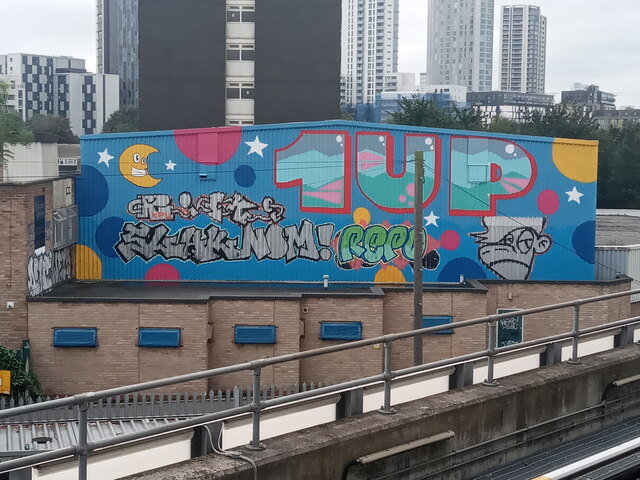
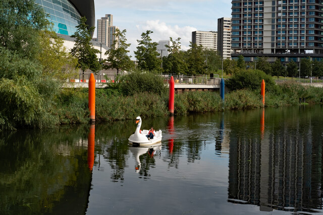
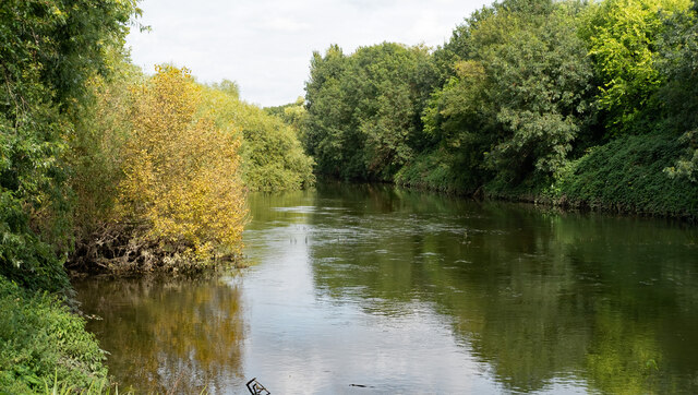
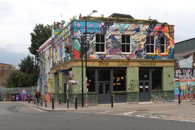
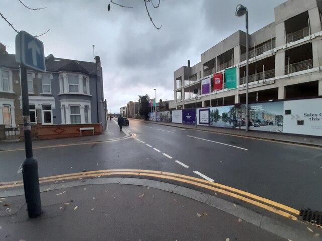
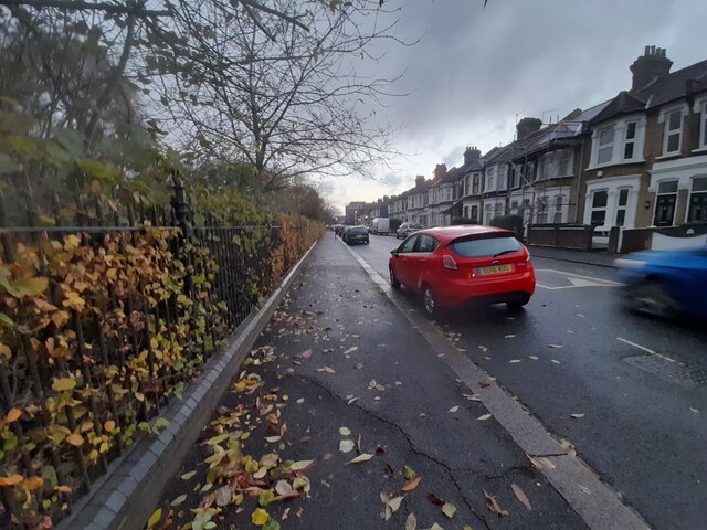
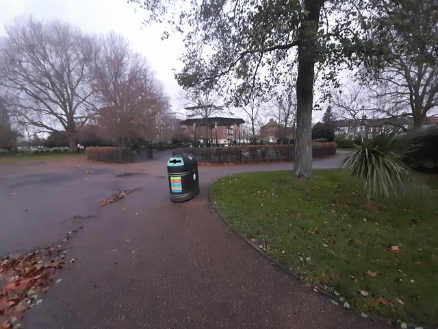
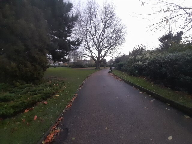
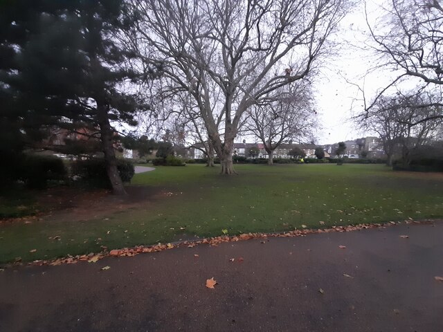
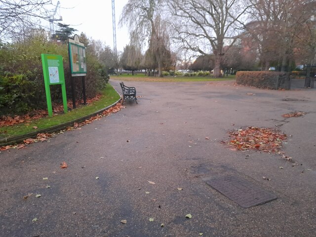
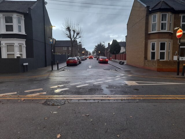
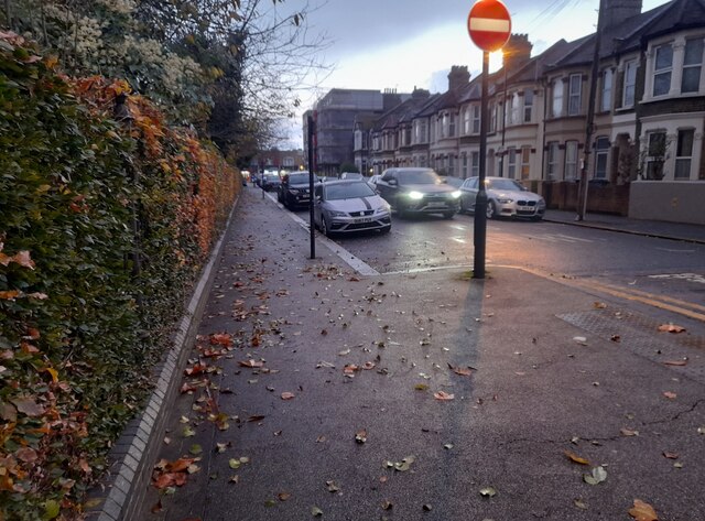
Temple Mills Images
Images are sourced within 2km of 51.555473/-0.015626489 or Grid Reference TQ3785. Thanks to Geograph Open Source API. All images are credited.


Temple Mills is located at Grid Ref: TQ3785 (Lat: 51.555473, Lng: -0.015626489)
Unitary Authority: Hackney
Police Authority: Metropolitan
What 3 Words
///photos.speech.sorters. Near Hackney, London
Nearby Locations
Related Wikis

Eton Manor Boys' Club
Eton Manor Boys' Club was a boys' sports club in London, England. == History == === Establishment === Eton Manor Boys' Club takes its name from Eton College...
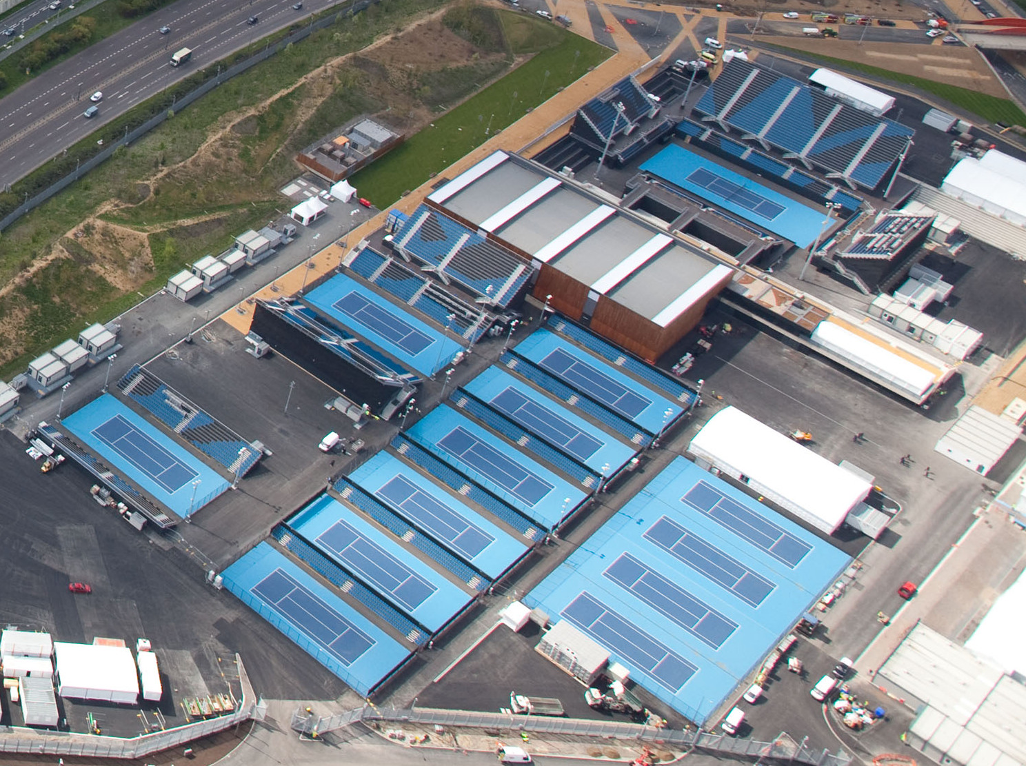
Lee Valley Hockey and Tennis Centre
Lee Valley Hockey and Tennis Centre is a sports and leisure venue located in Leyton, London Borough of Waltham Forest, to the north of Queen Elizabeth...

New Spitalfields Market
New Spitalfields Market is a fruit and vegetable market on a 31-acre (13 ha) site in Leyton, London Borough of Waltham Forest in East London. The market...

St Eleutherius, St Anthia and St Luke the Evangelist
St Eleutherius, St Anthia and St Luke the Evangelist or the Greek Orthodox Community of St. Eleftherios and St. Luke is a Greek Orthodox church in Leyton...
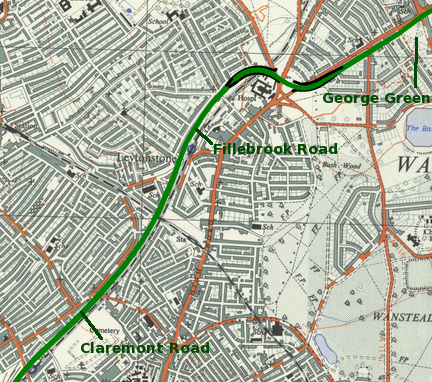
M11 link road protest
The M11 link road protest was a campaign against the construction of the M11 link road in east London in the early to mid-1990s. "A12 Hackney to M11 link...

Eastern Avenue, London
The Eastern Avenue is one of the main roads leading out of London. The 10-mile (16 km) road is part of the A12, a 129-mile road connecting Blackwall in...
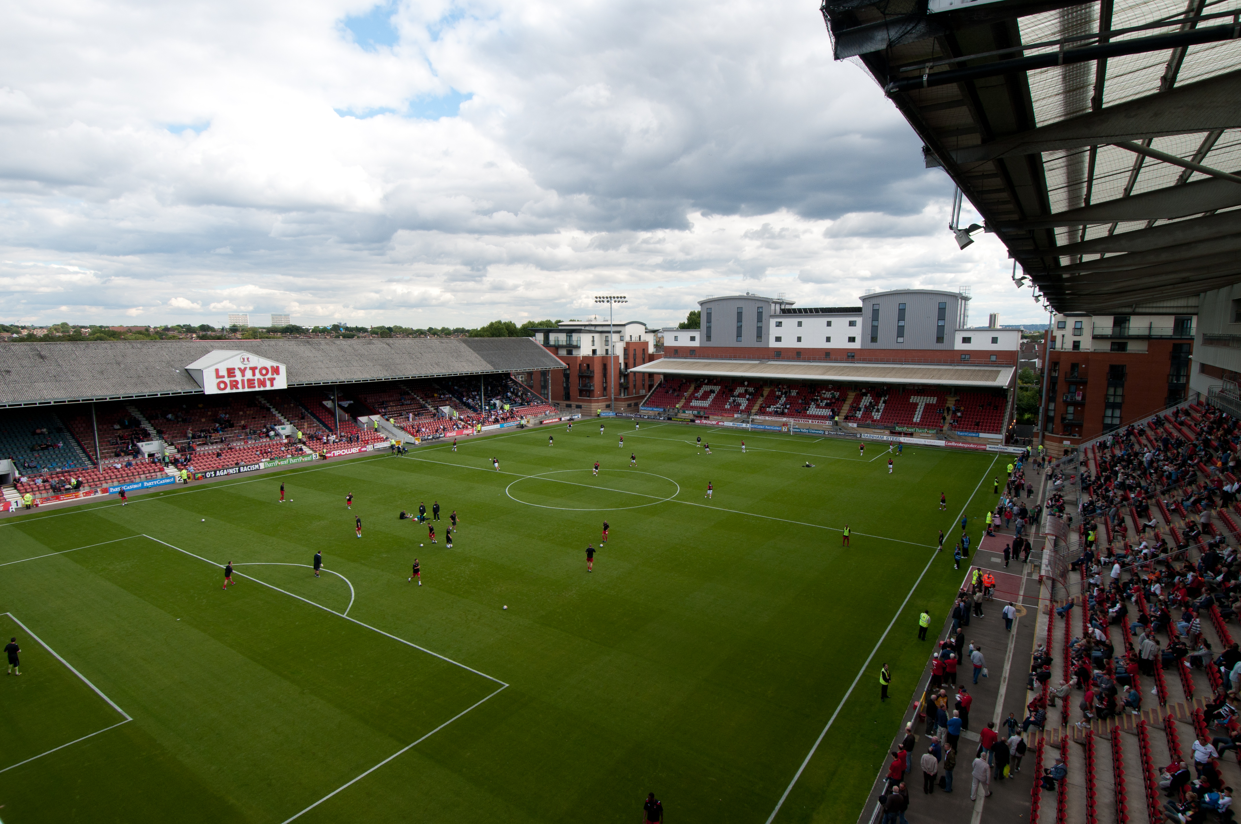
Brisbane Road
Gaughan Group Stadium, originally known as Osborne Road and then Brisbane Road, is a football stadium in Brisbane Road, Leyton, East London, England....

Lee Valley VeloPark
Lee Valley VeloPark is a cycling centre in Queen Elizabeth Olympic Park in Stratford, London, England. It is owned and managed by Lee Valley Regional Park...
Nearby Amenities
Located within 500m of 51.555473,-0.015626489Have you been to Temple Mills?
Leave your review of Temple Mills below (or comments, questions and feedback).