Hackness
Settlement in Orkney
Scotland
Hackness
Hackness is a small settlement located in the Orkney Islands, an archipelago situated off the northeastern coast of mainland Scotland. It is situated on the main island of Orkney, known as Mainland, specifically in the parish of Holm. Hackness is located approximately 6 miles northeast of the largest town in Orkney, Kirkwall.
The main feature of Hackness is the Hackness Martello Tower, which was built in the early 19th century as a coastal defense against potential Napoleonic invasions. The tower is a cylindrical structure made of stone, standing at a height of 30 feet and boasting a commanding view over the surrounding coastline.
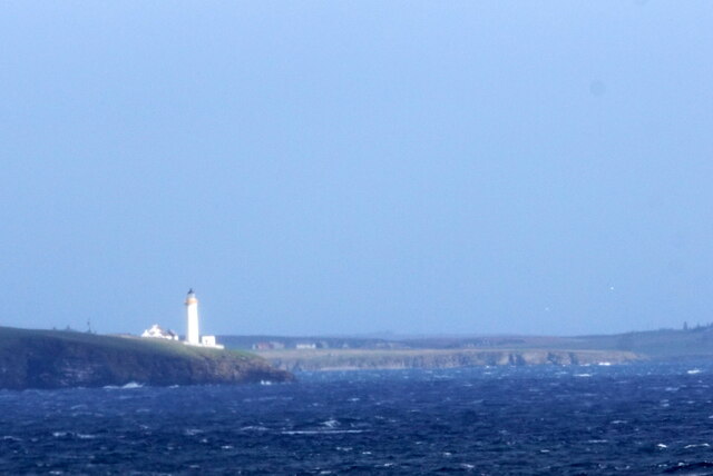
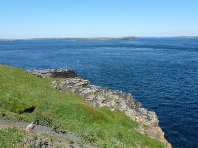
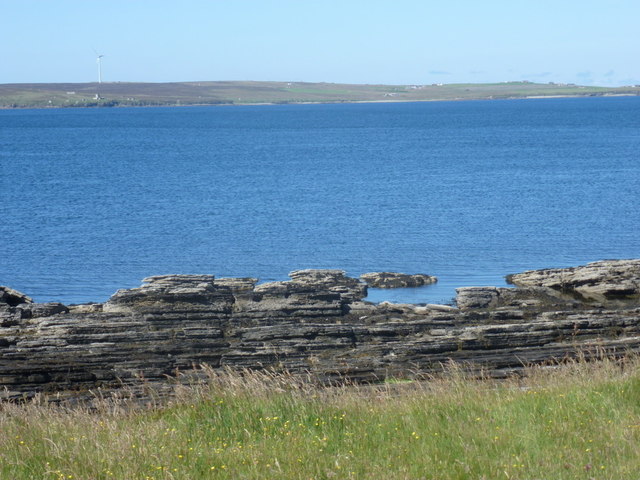
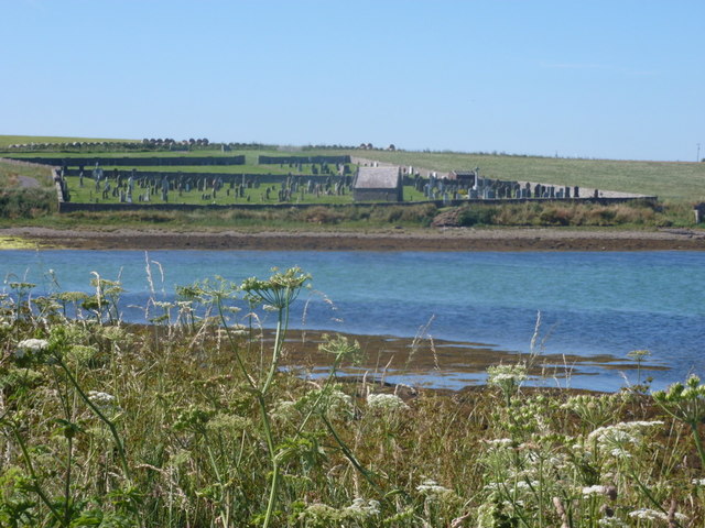
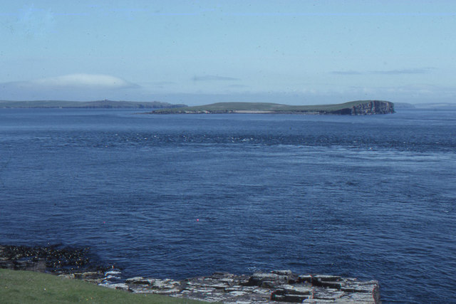
The surrounding area of Hackness is characterized by its rugged natural beauty, with rolling hills, dramatic cliffs, and sandy beaches. The landscape is dotted with several archaeological sites, including the remains of Iron Age settlements and burial mounds, showcasing the rich history of the area.
Despite its small size, Hackness offers a peaceful and idyllic setting for those seeking a retreat away from the hustle and bustle of city life. The community in Hackness is tight-knit, with a friendly and welcoming atmosphere. While there are no major amenities in the immediate vicinity, the town of Kirkwall is easily accessible and provides a range of services including shops, schools, and healthcare facilities.
Overall, Hackness provides a glimpse into the natural beauty and historical significance of Orkney, making it an appealing destination for nature lovers, history enthusiasts, and those in search of tranquility.
If you have any feedback on the listing, please let us know in the comments section below.
Hackness Images
Images are sourced within 2km of 58.80145/-3.1457709 or Grid Reference ND3391. Thanks to Geograph Open Source API. All images are credited.
Hackness is located at Grid Ref: ND3391 (Lat: 58.80145, Lng: -3.1457709)
Unitary Authority: Orkney Islands
Police Authority: Highlands and Islands
What 3 Words
///nips.ironclad.deploying. Near Lyness, Orkney Islands
Nearby Locations
Related Wikis

Hackness Martello Tower and Battery
Hackness Martello Tower and Battery is a British Army barracks and museum located on the island of South Walls, in Orkney, Scotland. == History == The...
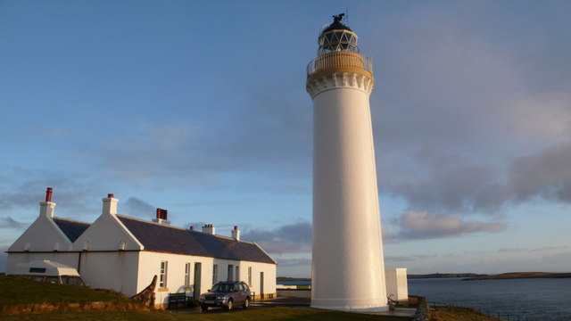
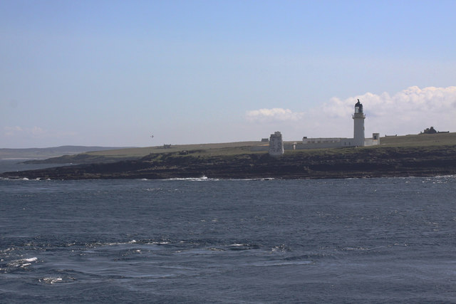
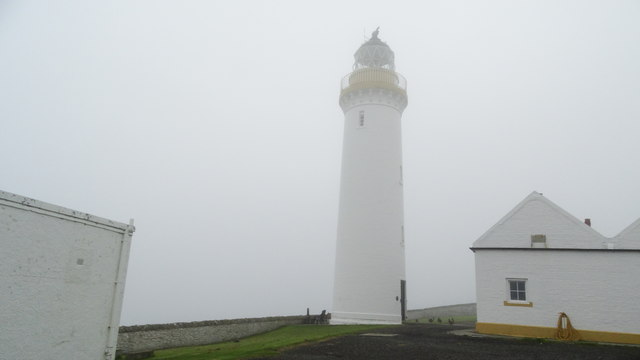
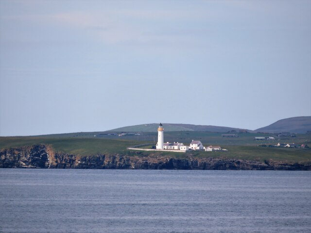
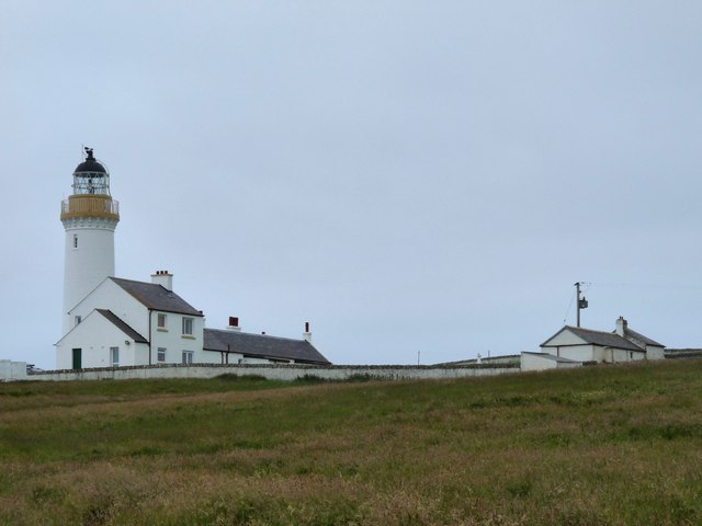
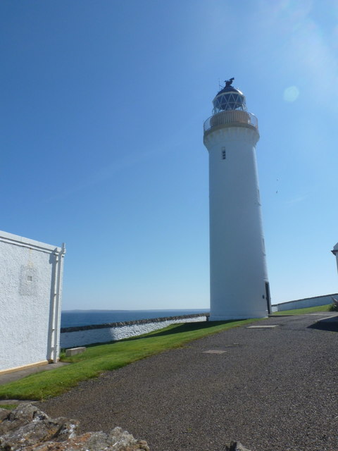
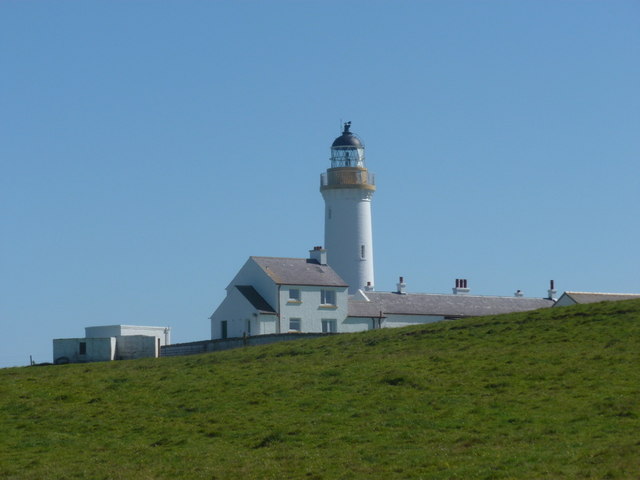
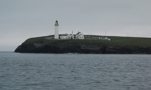
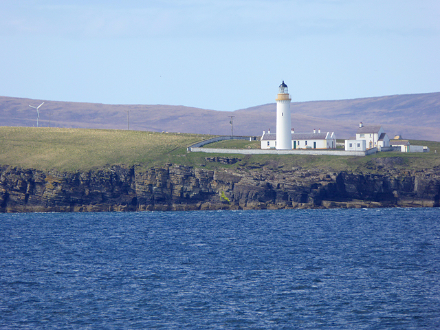
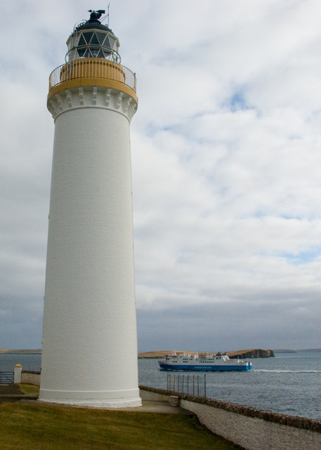
Cantick Head Lighthouse
The Cantick Head Lighthouse is an active 19th century lighthouse on the Scottish island of South Walls in the Orkney Islands. It is located at the end...

South Walls
South Walls (Scots: Sooth Waas), often referred to as Walls, is an inhabited island adjacent to Hoy in Orkney, Scotland. The name is a corruption of "Sooth...

Switha
Switha is a small uninhabited island towards the south of Orkney, Scotland, approximately 41 hectares in area. == Geography and geology == Switha lies...

Crockness Martello tower
Crockness Martello Tower is a Martello Tower on Hoy, Orkney, Scotland. It was built during the Napoleonic Wars, at the same time as the Martello Tower...
Longhope, Orkney
Longhope is a coastal settlement on the island of South Walls, in Orkney, Scotland. South Walls is linked to Hoy by causeway; Longhope is the largest settlement...
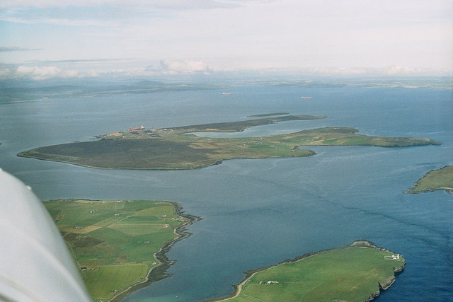
Flotta
Flotta () is a small island in Orkney, Scotland, lying in Scapa Flow. The island is known for its large oil terminal and is linked by Orkney Ferries to...

Whome
Whome is the largest settlement on the Orkney island of Flotta, Scotland. The village is situated on the B9046, the main road across Flotta. Views from...
Nearby Amenities
Located within 500m of 58.80145,-3.1457709Have you been to Hackness?
Leave your review of Hackness below (or comments, questions and feedback).