Tirymynach

Settlement in Montgomeryshire

Wales

Tirymynach

A470 near Dolfach
A470 near Dolfach Credit: Steven Brown

The requested URL returned error: 429 Too Many Requests

If you have any feedback on the listing, please let us know in the comments section below.
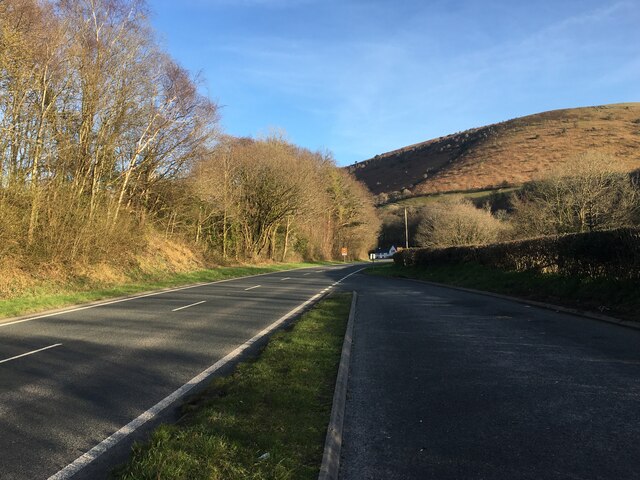
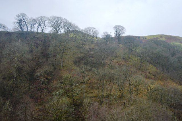
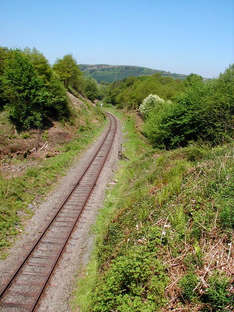
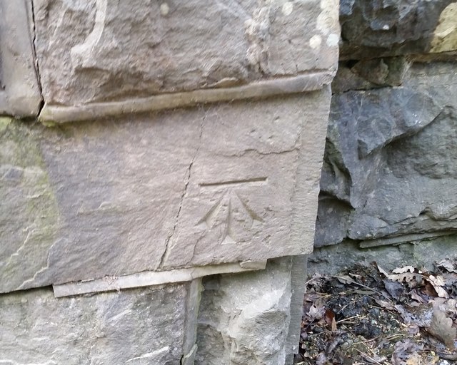
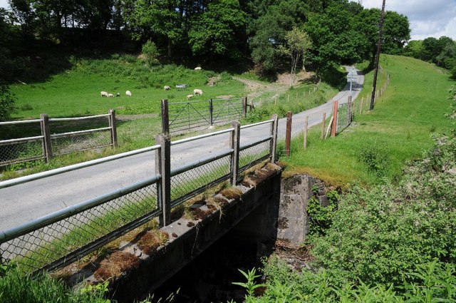
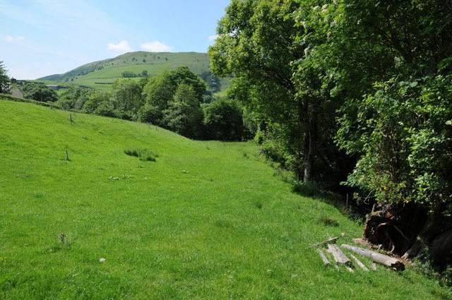
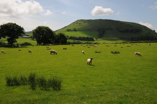
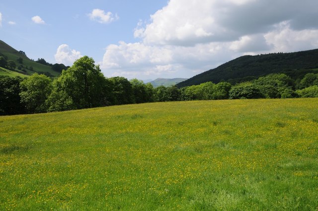
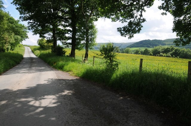
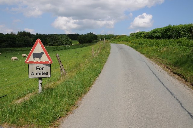
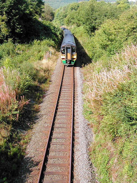
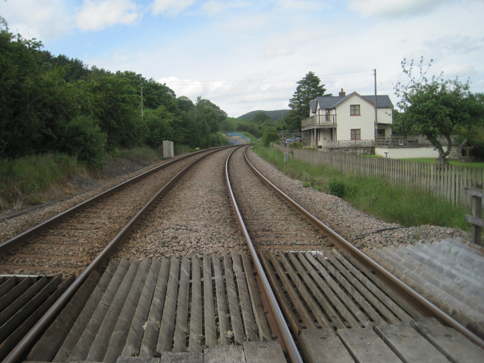
Tirymynach Images

Images are sourced within 2km of 52.596027/-3.5958872 or Grid Reference SH9201. Thanks to Geograph Open Source API. All images are credited.

A470 near Dolfach
A470 near Dolfach
Cemetery at Dol-fach
Dolyronen
Dolyronen
Dolfach
Dolfach
Dolfach
Dolfach
A470 The A470(T) is a major long-distance road in Wales, from Cardiff on the south coast to Llandudno on the north coast. It is 186 miles long, with a tortuous route through the country's mountainous central region, including the Brecon Beacons and Snowdonia National Park.
Wikipedia: <span class="nowrap"><a title="http://en.wikipedia.org/wiki/A470_road" rel="nofollow ugc noopener" href="http://en.wikipedia.org/wiki/A470_road">Link</a><img style="margin-left:2px;" alt="External link" title="External link - shift click to open in new window" src="https://s1.geograph.org.uk/img/external.png" width="10" height="10"/></span>
A470
The A470(T) is a major long-distance road in Wales, from Cardiff on the south coast to Llandudno on the north coast. It is 186 miles long, with a tortuous route through the country's mountainous central region, including the Brecon Beacons and Snowdonia National Park. Wikipedia: LinkExternal link
Wooded hillside
Wooded hillside
Glyndwr's Way near Llanbrynmair Looking back towards Llanbrynmair.
Glyndwr's Way near Llanbrynmair
Looking back towards Llanbrynmair.
Looking up towards the cemetery at Dol-fâch Seen from the railway.
Looking up towards the cemetery at Dol-fâch
Seen from the railway.
Looking west from Talerddig summit
Ordnance Survey Cut Mark This OS cut mark can be found on the SW buttress of the railway bridge. It marks a point 170.690m above mean sea level.
Ordnance Survey Cut Mark
This OS cut mark can be found on the SW buttress of the railway bridge. It marks a point 170.690m above mean sea level.
Bridge crossing Afon Tyn-y-rhos Bridge carrying a country road  across Afon Tyn-y-rhos near Talerddig.
Bridge crossing Afon Tyn-y-rhos
Bridge carrying a country road across Afon Tyn-y-rhos near Talerddig.
Field beside Afon Tyn-y-rhos Field beside Afon Tyn-y-rhos near Talerddig.
Field beside Afon Tyn-y-rhos
Field beside Afon Tyn-y-rhos near Talerddig.
Farmland near Talerddig Farmland near Talerddig with Newydd Fynyddog the hill in the background.
Farmland near Talerddig
Farmland near Talerddig with Newydd Fynyddog the hill in the background.
Farmland near Talerddig Farmland above the valley where the A470 passes near Talerddig.  Cadair Idris is just visible in the far distance to the left of the mountain in the distance in the centre.  It's onluy just visible.
Farmland near Talerddig
Farmland above the valley where the A470 passes near Talerddig. Cadair Idris is just visible in the far distance to the left of the mountain in the distance in the centre. It's onluy just visible.
Country road above Talerddig Country road above Talerddig above the valley through which the A470 passes.
Country road above Talerddig
Country road above Talerddig above the valley through which the A470 passes.
Sheep country A sign beside a country road near Talerddig warning of sheep for the next four miles.
Sheep country
A sign beside a country road near Talerddig warning of sheep for the next four miles.
An Arriva train at the summit of Tallerddig bank Nearing the passing loop at the old station site.
An Arriva train at the summit of Tallerddig bank
Nearing the passing loop at the old station site.
Show me another place!

Tirymynach is located at Grid Ref: SH9201 (Lat: 52.596027, Lng: -3.5958872)

Unitary Authority: Powys

Police Authority: Dyfed Powys

Also known as: Tir-y-Mynach

What 3 Words

///brilliant.plums.exulted. Near Staylittle, Powys

Related Wikis

Dolfach

Dolfach is a village in Powys, Wales, located on the main A470 road between Llanbrynmair and Talerddig. The village's name translates as "small meadow...

Talerddig

Talerddig is a village in Powys, mid Wales, located on the main A470 road between Llanbrynmair and Carno. It is part of Llanbrynmair community. == Talerddig... ==

Talerddig railway station

Talerddig railway station was a station in Talerddig, Powys, Wales. The station opened in 1900 and closed on 14 June 1965, one of many on the line abandoned...

Llanbrynmair

Llanbrynmair or Llanbryn-mair () is a village, community and electoral ward in Montgomeryshire, Powys, on the A470 road between Caersws and Machynlleth...

Have you been to Tirymynach?

Leave your review of Tirymynach below (or comments, questions and feedback).