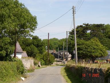
Coed Tŷ-croes
Wood, Forest in Denbighshire
Wales
Coed Tŷ-croes
Coed Tŷ-croes is a picturesque woodland area located in Denbighshire, Wales. Spanning over a vast expanse of land, it is renowned for its dense forest and natural beauty. The name "Tŷ-croes" translates to "cross house" in English, suggesting a historical connection to a prominent crossroads or meeting point.
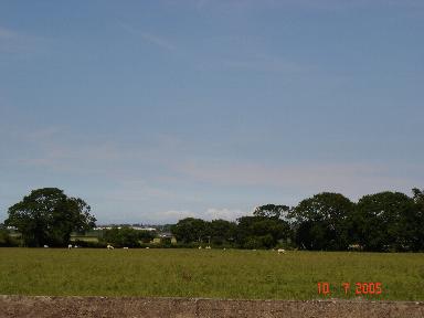
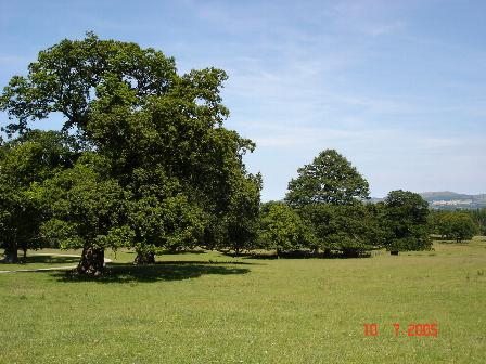
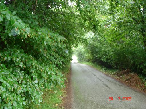
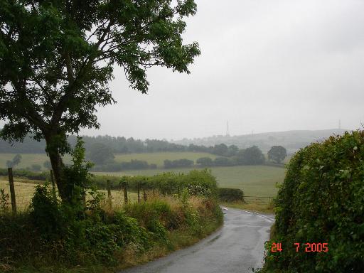
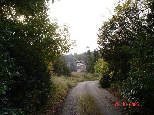
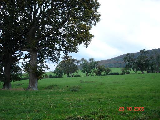
This woodland is characterized by a diverse range of tree species, including oak, beech, and birch, creating a rich and vibrant ecosystem. The forest floor is blanketed with a myriad of wildflowers and ferns, enhancing the area's enchanting ambiance. Numerous walking trails and footpaths meander through the woods, offering visitors the opportunity to immerse themselves in nature and enjoy the tranquil surroundings.
Coed Tŷ-croes is also home to a variety of wildlife, making it a haven for nature enthusiasts and birdwatchers. Bird species such as woodpeckers, owls, and thrushes can often be spotted flitting between the trees, while small mammals like badgers and foxes roam the undergrowth. The forest is a designated Site of Special Scientific Interest (SSSI), reflecting its ecological significance and the need for its preservation.
Due to its idyllic setting and natural charm, Coed Tŷ-croes attracts a steady stream of visitors throughout the year. Families, hikers, and photographers are drawn to its peaceful atmosphere and stunning vistas. The woodland is also a favored location for outdoor activities such as picnicking, camping, and forest bathing, providing a serene retreat for those seeking respite from the bustle of everyday life.
Overall, Coed Tŷ-croes is a captivating woodland area in Denbighshire, offering a remarkable blend of natural beauty, biodiversity, and recreational opportunities for all to enjoy.
If you have any feedback on the listing, please let us know in the comments section below.
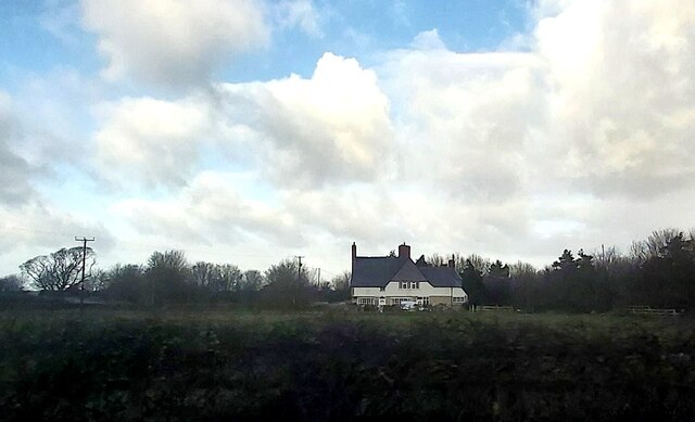
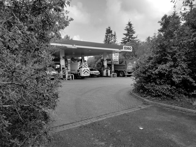
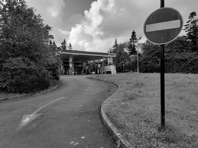
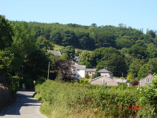
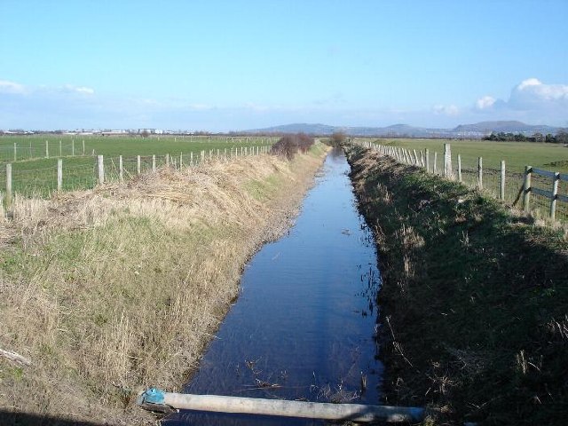
Coed Tŷ-croes Images
Images are sourced within 2km of 53.26696/-3.5424659 or Grid Reference SH9775. Thanks to Geograph Open Source API. All images are credited.
Coed Tŷ-croes is located at Grid Ref: SH9775 (Lat: 53.26696, Lng: -3.5424659)
Unitary Authority: Conwy
Police Authority: North Wales
What 3 Words
///middle.marsh.courts. Near Bodelwyddan, Denbighshire
Related Wikis

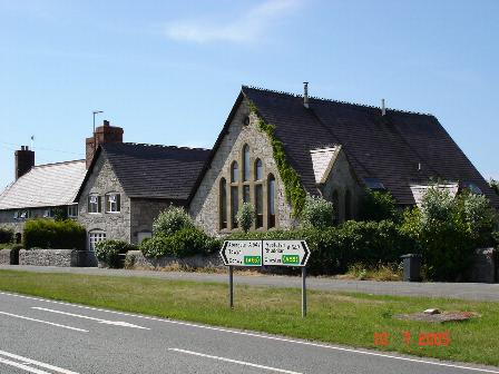
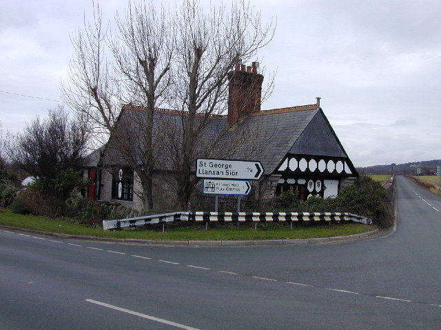
St George, Conwy
St George (Welsh: Llansansior, sometimes Llan San(t) Siôr or Llan Sain Siôr) is a small village in the county borough of Conwy, Wales and is close to the...

Kinmel Park Training Area
Kinmel Park Training Area is an army training ground in what was once the grounds of Kinmel Hall, near Abergele, in Conwy county borough, Wales. The camp...
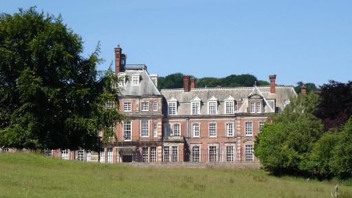
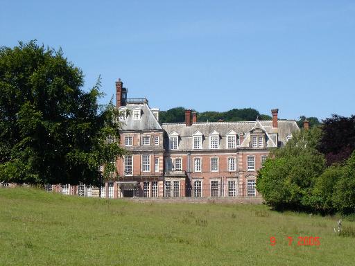
Kinmel Hall
Kinmel Hall is a large country mansion within Kimnel Park near the village of St. George, close to the coastal town of Abergele, in Conwy county borough...

Abergele Hospital
Abergele Hospital (Welsh: Ysbyty Abergele) is a community hospital in Abergele, Wales. It is managed by Betsi Cadwaladr University Health Board. ��2�...
Nearby Amenities
Located within 500m of 53.26696,-3.5424659Have you been to Coed Tŷ-croes?
Leave your review of Coed Tŷ-croes below (or comments, questions and feedback).