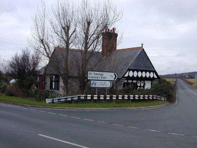
Llansan Sior

Settlement in Denbighshire

Wales

Llansan Sior

Smithy House
Smithy House Credit: Anthony Parkes

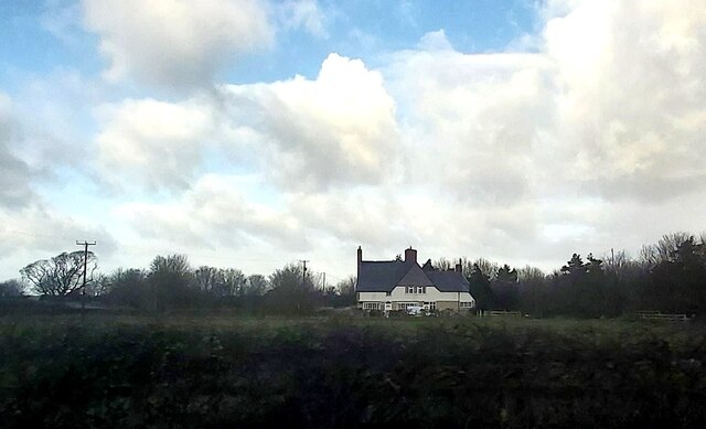
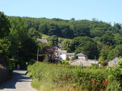
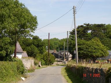
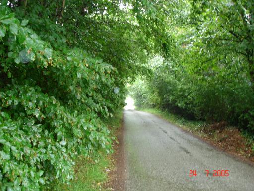
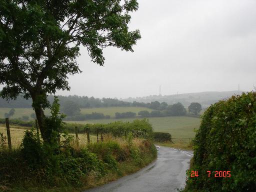
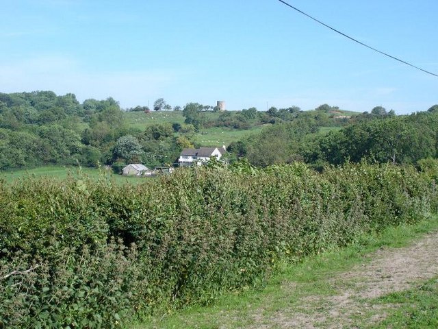
Llansan Sior is a small village located in the county of Denbighshire, Wales. Situated near the banks of the River Clwyd, it is surrounded by beautiful countryside, offering residents and visitors a peaceful and picturesque setting.

The village is known for its rich historical significance, with evidence of settlements dating back to the Iron Age. It is believed that Llansan Sior was once a Roman outpost, as several Roman artifacts have been discovered in the area. Additionally, the village is home to St. Sior's Church, a medieval structure that has stood since the 13th century. The church is a prominent feature of the village and attracts visitors interested in its architectural and historical significance.

Despite its small size, Llansan Sior has a close-knit community that takes pride in its Welsh heritage. The village hosts various cultural events throughout the year, including traditional music festivals and Welsh language celebrations. These events provide an opportunity for locals and tourists alike to immerse themselves in the vibrant Welsh culture.

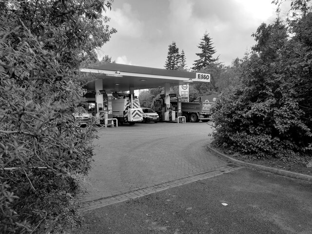
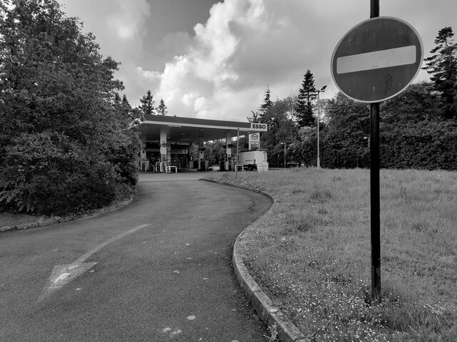
Llansan Sior offers limited amenities, with a small convenience store and a pub being the main establishments in the village. However, residents can access a wider range of services and amenities in nearby towns such as Denbigh and Ruthin, both of which are within a short driving distance.

Overall, Llansan Sior is a charming village that offers a tranquil escape from the hustle and bustle of modern life. Its rich history, stunning natural surroundings, and strong sense of community make it a hidden gem within Denbighshire.

If you have any feedback on the listing, please let us know in the comments section below.
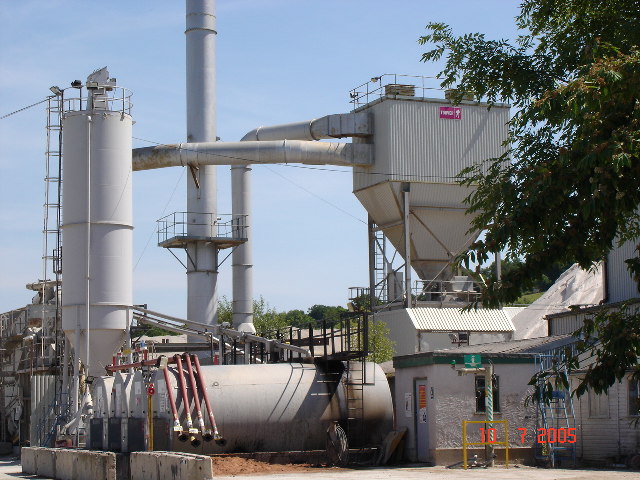
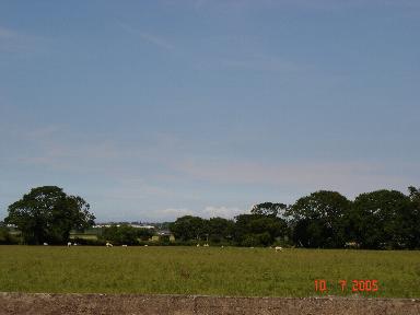
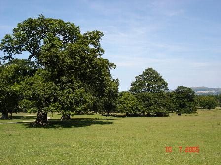
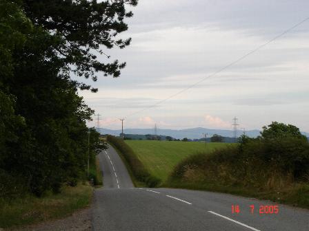
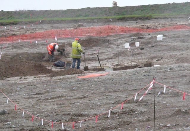
Llansan Sior Images

Images are sourced within 2km of 53.2691/-3.5403536 or Grid Reference SH9775. Thanks to Geograph Open Source API. All images are credited.

Smithy House
Smithy House
Study of a Gasoline Station Esso, Kinmel Park (Westbound).

 This photograph is part of a series taken in homage to the American artist Ed Ruscha's 1963 publication of 'Twentysix Gasoline Stations'.
 More properly known as filling stations in the UK, I am attempting to photograph as many as possible to mark the sixty year anniversary.
Study of a Gasoline Station
Esso, Kinmel Park (Westbound). This photograph is part of a series taken in homage to the American artist Ed Ruscha's 1963 publication of 'Twentysix Gasoline Stations'. More properly known as filling stations in the UK, I am attempting to photograph as many as possible to mark the sixty year anniversary.
Study of a Gasoline Station Esso, Kinmel Park (eastbound).

 This photograph is part of a series taken in homage to the American artist Ed Ruscha's 1963 publication of 'Twentysix Gasoline Stations'.
 More properly known as filling stations in the UK, I am attempting to photograph as many as possible to mark the sixty year anniversary.
Study of a Gasoline Station
Esso, Kinmel Park (eastbound). This photograph is part of a series taken in homage to the American artist Ed Ruscha's 1963 publication of 'Twentysix Gasoline Stations'. More properly known as filling stations in the UK, I am attempting to photograph as many as possible to mark the sixty year anniversary.
St. George Village of St. George (Llansan Sior)
St. George
Village of St. George (Llansan Sior)
Kinmel Hall Kinmel Hall in Kinmel Park, St. George
Kinmel Hall
Kinmel Hall in Kinmel Park, St. George
Quarry site overlooking North Wales Coast The quarry buildings in front of the coast line of Rhyl and Pensarn
Quarry site overlooking North Wales Coast
The quarry buildings in front of the coast line of Rhyl and Pensarn
Church and Cottages at Gofr Former Church and cottages at the St.Georges junction at Gofr
Church and Cottages at Gofr
Former Church and cottages at the St.Georges junction at Gofr
Bodoryn Fawr Hamlet of Bodoryn Fawr
Bodoryn Fawr
Hamlet of Bodoryn Fawr
Quarry View Quarry to the West of St. George Abergele
Quarry View
Quarry to the West of St. George Abergele
Flatlands View over the fields towards the North Wales Coast
Flatlands
View over the fields towards the North Wales Coast
Kinmel Park Kinmel Park surrounds Kinmel Hall, formerly a School - now closed to the public.
Kinmel Park
Kinmel Park surrounds Kinmel Hall, formerly a School - now closed to the public.
Roman Road Moelfre - Bodelwyddan The old Roman road running between Moelfre and Bodelwyddan
Roman Road Moelfre - Bodelwyddan
The old Roman road running between Moelfre and Bodelwyddan
Tree cover lane at Dinorben Lane leading from the old Roman road down to Dinorben
Tree cover lane at Dinorben
Lane leading from the old Roman road down to Dinorben
Lane and farmland Lane and farmland near to Dinorben
Lane and farmland
Lane and farmland near to Dinorben
Tollbar Cottage, near Abergele
Drainage ditch at Gors One of many drainage ditches that criss cross the flat land near the North Wales coast.
Drainage ditch at Gors
One of many drainage ditches that criss cross the flat land near the North Wales coast.
Archaeologists working near Dinorben, St. George. This is a view of the Archaeological dig taking place near Dinorben, St. George. The field you see in this view is programmed to be blown to pieces, as the St. George Quarry expands. The St. George Quarry has already removed a hill fort off the map. What price progress?
Archaeologists working near Dinorben, St. George.
This is a view of the Archaeological dig taking place near Dinorben, St. George. The field you see in this view is programmed to be blown to pieces, as the St. George Quarry expands. The St. George Quarry has already removed a hill fort off the map. What price progress?
Ffordd Las Above Abergele Ffordd Las farmland. In the background the tower on the hill can be seen.
Ffordd Las
Above Abergele Ffordd Las farmland. In the background the tower on the hill can be seen.
Show me another place!

Llansan Sior is located at Grid Ref: SH9775 (Lat: 53.2691, Lng: -3.5403536)

Unitary Authority: Conwy

Police Authority: North Wales

Also known as: St George

What 3 Words

///enacted.novelists.munch. Near Bodelwyddan, Denbighshire

Related Wikis

St George, Conwy

St George (Welsh: Llansansior, sometimes Llan San(t) Siôr or Llan Sain Siôr) is a small village in the county borough of Conwy, Wales and is close to the...

Kinmel Park Training Area

Kinmel Park Training Area is an army training ground in what was once the grounds of Kinmel Hall, near Abergele, in Conwy county borough, Wales. The camp...
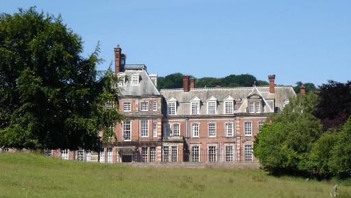
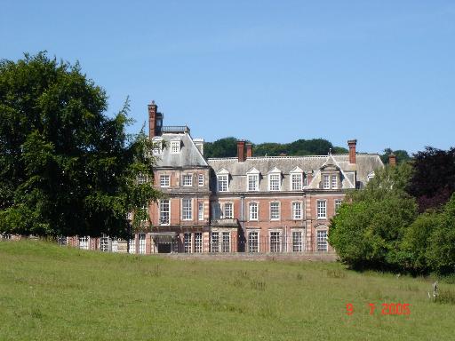
Kinmel Hall

Kinmel Hall is a large country mansion within Kimnel Park near the village of St. George, close to the coastal town of Abergele, in Conwy county borough...

Abergele Hospital

Abergele Hospital (Welsh: Ysbyty Abergele) is a community hospital in Abergele, Wales. It is managed by Betsi Cadwaladr University Health Board. ��2�...

Nearby Amenities

Located within 500m of 53.2691,-3.5403536
Restaurant
The Kinmel Arms
Addr City: Abergele
Addr Country: GB
Addr Place: St. George
Addr Postcode: LL22 9BP
Fhrs Authority: Conwy
Fhrs Id: 78914
Fhrs Local Authority Id: 1892
Name Cy: Yr Arfau Cilmael
Name En: Kinmel Arms
Smoking: no
Tourism: hotel
Wikidata: Q29496143
Lat/Long: 53.26888/-3.5393948
St. George
Name Cy: Llan San Siôr
Note: The original name was Cegidog, meaning 'abounding in hemlock'. It could also have meant the place of green woodpeckers (cegid).
Place: village
Wikidata: Q7588179
Lat/Long: 53.2690301/-3.5399752
Historic: memorial
Lat/Long: 53.2690204/-3.5402828
Phone
Emergency: phone
Indoor: no
Lat/Long: 53.2732493/-3.5388789
Parking
Parking: layby
Lat/Long: 53.2732612/-3.5387165
Power: pole
Lat/Long: 53.2726622/-3.5371761
Power: pole
Lat/Long: 53.272037/-3.5376537
Power: pole
Lat/Long: 53.2717938/-3.536505
Power: pole
Lat/Long: 53.2702356/-3.5409827
Power: pole
Lat/Long: 53.2697722/-3.539897
Power: pole
Lat/Long: 53.2692033/-3.5394667
Power: pole
Lat/Long: 53.271142/-3.540712
Power: pole
Lat/Long: 53.2717826/-3.5395307
Power: pole
Lat/Long: 53.2718795/-3.5381627
Power: pole
Lat/Long: 53.2720564/-3.5378915
Post Box
Listed Status: Grade II
Post Box Type: pillar
Royal Cypher: EVIIR
Royal Cypher Wikidata: Q33102324
Lat/Long: 53.2688497/-3.5399019
Telephone
Defibrillator
Booth: K6
Covered: booth
Defibrillator Location: inside red phone box at junction of Primrose Hill and Church Street in St George
Emergency: defibrillator
Listed Status: Grade II
Man Made: telephone_box
Lat/Long: 53.2688465/-3.5398791
The data included in this document is from www.openstreetmap.org. The data is made available under ODbL.

Have you been to Llansan Sior?

Leave your review of Llansan Sior below (or comments, questions and feedback).