Coed y Meibion

Wood, Forest in Denbighshire

Wales

Coed y Meibion

Smithy House
Smithy House Credit: Anthony Parkes

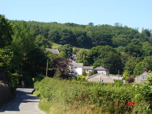
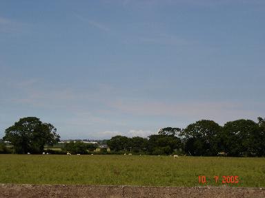
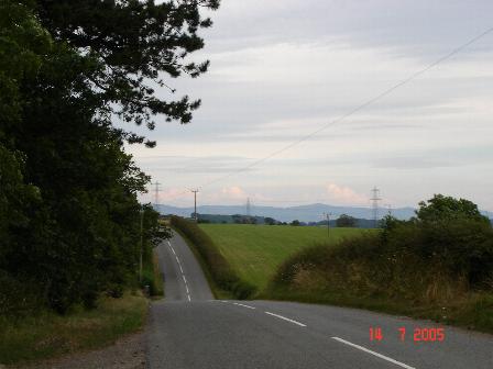
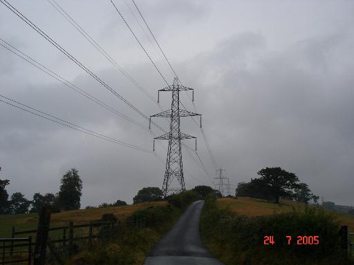
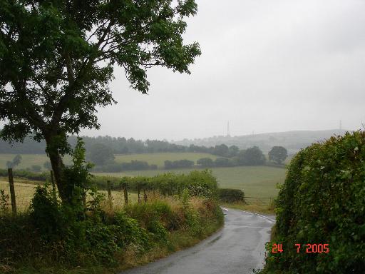
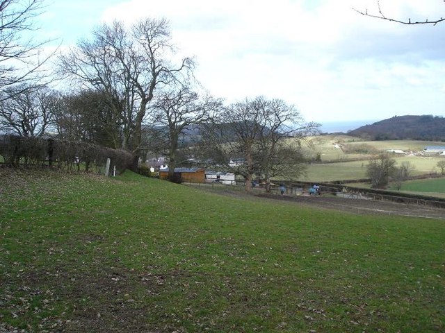
Coed y Meibion is a picturesque woodland located in Denbighshire, Wales. Spanning an area of approximately 100 hectares, it is renowned for its natural beauty and rich biodiversity. The woodland is situated on the slopes of the Clwydian Range, offering stunning views of the surrounding countryside.

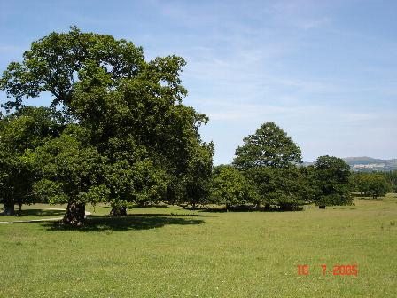
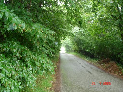
One of the notable features of Coed y Meibion is its dense canopy of mixed deciduous and coniferous trees, including oak, beech, birch, and pine. These trees provide a habitat for a wide range of wildlife, making it a popular destination for nature enthusiasts and birdwatchers. The woodland is home to various bird species, such as woodpeckers, jays, and tawny owls.

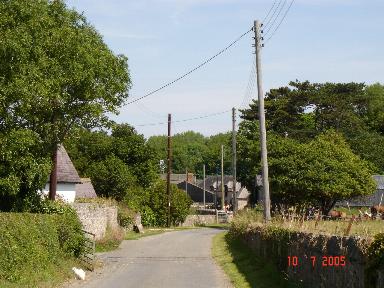
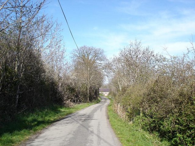
Traversing through Coed y Meibion, visitors can explore its network of well-maintained trails and footpaths. These paths offer opportunities for leisurely walks, jogging, and cycling, allowing visitors to immerse themselves in the natural surroundings. Along the way, they may come across babbling brooks, small ponds, and wildflowers, enhancing the overall charm of the woodland.

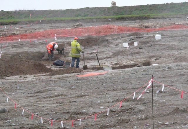
Coed y Meibion also has historical significance, with remnants of ancient settlements and burial sites dating back to the Bronze Age. Archaeological excavations have uncovered various artifacts, providing insights into the region's past.

Managed by the local authorities, Coed y Meibion ensures the preservation of its natural heritage and provides an accessible and enjoyable experience for visitors. With its tranquil atmosphere and breathtaking scenery, this woodland is a true gem in Denbighshire, attracting both locals and tourists alike.

If you have any feedback on the listing, please let us know in the comments section below.

Coed y Meibion Images

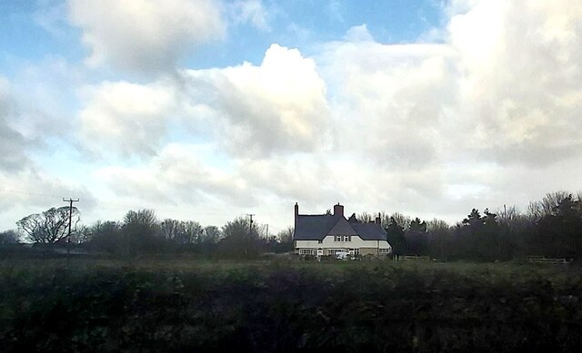
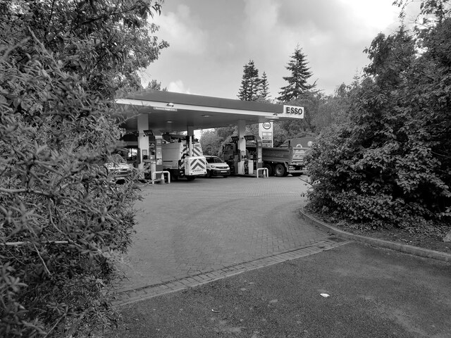
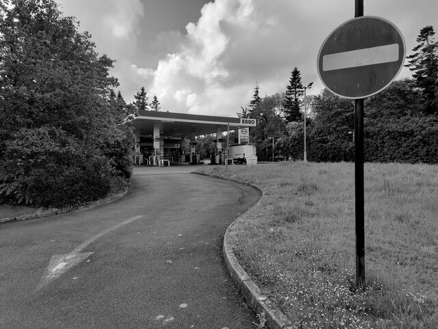
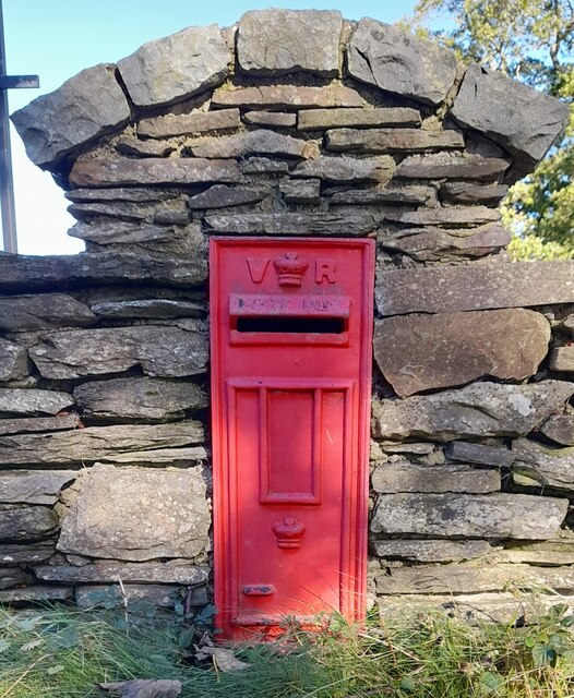
Images are sourced within 2km of 53.263816/-3.5401637 or Grid Reference SH9775. Thanks to Geograph Open Source API. All images are credited.

Smithy House
Smithy House
Study of a Gasoline Station Esso, Kinmel Park (Westbound).

 This photograph is part of a series taken in homage to the American artist Ed Ruscha's 1963 publication of 'Twentysix Gasoline Stations'.
 More properly known as filling stations in the UK, I am attempting to photograph as many as possible to mark the sixty year anniversary.
Study of a Gasoline Station
Esso, Kinmel Park (Westbound). This photograph is part of a series taken in homage to the American artist Ed Ruscha's 1963 publication of 'Twentysix Gasoline Stations'. More properly known as filling stations in the UK, I am attempting to photograph as many as possible to mark the sixty year anniversary.
Study of a Gasoline Station Esso, Kinmel Park (eastbound).

 This photograph is part of a series taken in homage to the American artist Ed Ruscha's 1963 publication of 'Twentysix Gasoline Stations'.
 More properly known as filling stations in the UK, I am attempting to photograph as many as possible to mark the sixty year anniversary.
Study of a Gasoline Station
Esso, Kinmel Park (eastbound). This photograph is part of a series taken in homage to the American artist Ed Ruscha's 1963 publication of 'Twentysix Gasoline Stations'. More properly known as filling stations in the UK, I am attempting to photograph as many as possible to mark the sixty year anniversary.
Victorian Postbox in lane In use as the house's postbox nowadays. Inscribed as VR.

Possibly a Chinese facia plate, as the 2 crowns show it's not genuine.
Victorian Postbox in lane
In use as the house's postbox nowadays. Inscribed as VR. Possibly a Chinese facia plate, as the 2 crowns show it's not genuine.
St. George Village of St. George (Llansan Sior)
St. George
Village of St. George (Llansan Sior)
Kinmel Hall Kinmel Hall in Kinmel Park, St. George
Kinmel Hall
Kinmel Hall in Kinmel Park, St. George
Quarry site overlooking North Wales Coast The quarry buildings in front of the coast line of Rhyl and Pensarn
Quarry site overlooking North Wales Coast
The quarry buildings in front of the coast line of Rhyl and Pensarn
Bodoryn Fawr Hamlet of Bodoryn Fawr
Bodoryn Fawr
Hamlet of Bodoryn Fawr
Quarry View Quarry to the West of St. George Abergele
Quarry View
Quarry to the West of St. George Abergele
Flatlands View over the fields towards the North Wales Coast
Flatlands
View over the fields towards the North Wales Coast
Kinmel Park Kinmel Park surrounds Kinmel Hall, formerly a School - now closed to the public.
Kinmel Park
Kinmel Park surrounds Kinmel Hall, formerly a School - now closed to the public.
Roman Road Moelfre - Bodelwyddan The old Roman road running between Moelfre and Bodelwyddan
Roman Road Moelfre - Bodelwyddan
The old Roman road running between Moelfre and Bodelwyddan
Pylon and lane Electricity pylon and lane off the Roman road near Glascoed
Pylon and lane
Electricity pylon and lane off the Roman road near Glascoed
Tree cover lane at Dinorben Lane leading from the old Roman road down to Dinorben
Tree cover lane at Dinorben
Lane leading from the old Roman road down to Dinorben
Lane and farmland Lane and farmland near to Dinorben
Lane and farmland
Lane and farmland near to Dinorben
Archaeologists working near Dinorben, St. George. This is a view of the Archaeological dig taking place near Dinorben, St. George. The field you see in this view is programmed to be blown to pieces, as the St. George Quarry expands. The St. George Quarry has already removed a hill fort off the map. What price progress?
Archaeologists working near Dinorben, St. George.
This is a view of the Archaeological dig taking place near Dinorben, St. George. The field you see in this view is programmed to be blown to pieces, as the St. George Quarry expands. The St. George Quarry has already removed a hill fort off the map. What price progress?
Top-y-Glol Farm above the village of Moelfre
Top-y-Glol
Farm above the village of Moelfre
Moelfre lane A quiet country lane near to Moelfre. The lane is one of many similar that criss cross between the small hamlets and farms in the area.
Moelfre lane
A quiet country lane near to Moelfre. The lane is one of many similar that criss cross between the small hamlets and farms in the area.
Show me another place!

Coed y Meibion is located at Grid Ref: SH9775 (Lat: 53.263816, Lng: -3.5401637)

Unitary Authority: Conwy

Police Authority: North Wales

What 3 Words

///goods.funky.bearings. Near Bodelwyddan, Denbighshire

Related Wikis

St George, Conwy

St George (Welsh: Llansansior, sometimes Llan San(t) Siôr or Llan Sain Siôr) is a small village in the county borough of Conwy, Wales and is close to the...

Kinmel Park Training Area

Kinmel Park Training Area is an army training ground in what was once the grounds of Kinmel Hall, near Abergele, in Conwy county borough, Wales. The camp...
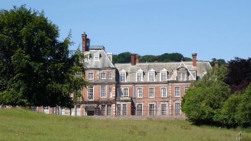
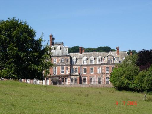
Kinmel Hall

Kinmel Hall is a large country mansion within Kimnel Park near the village of St. George, close to the coastal town of Abergele, in Conwy county borough...
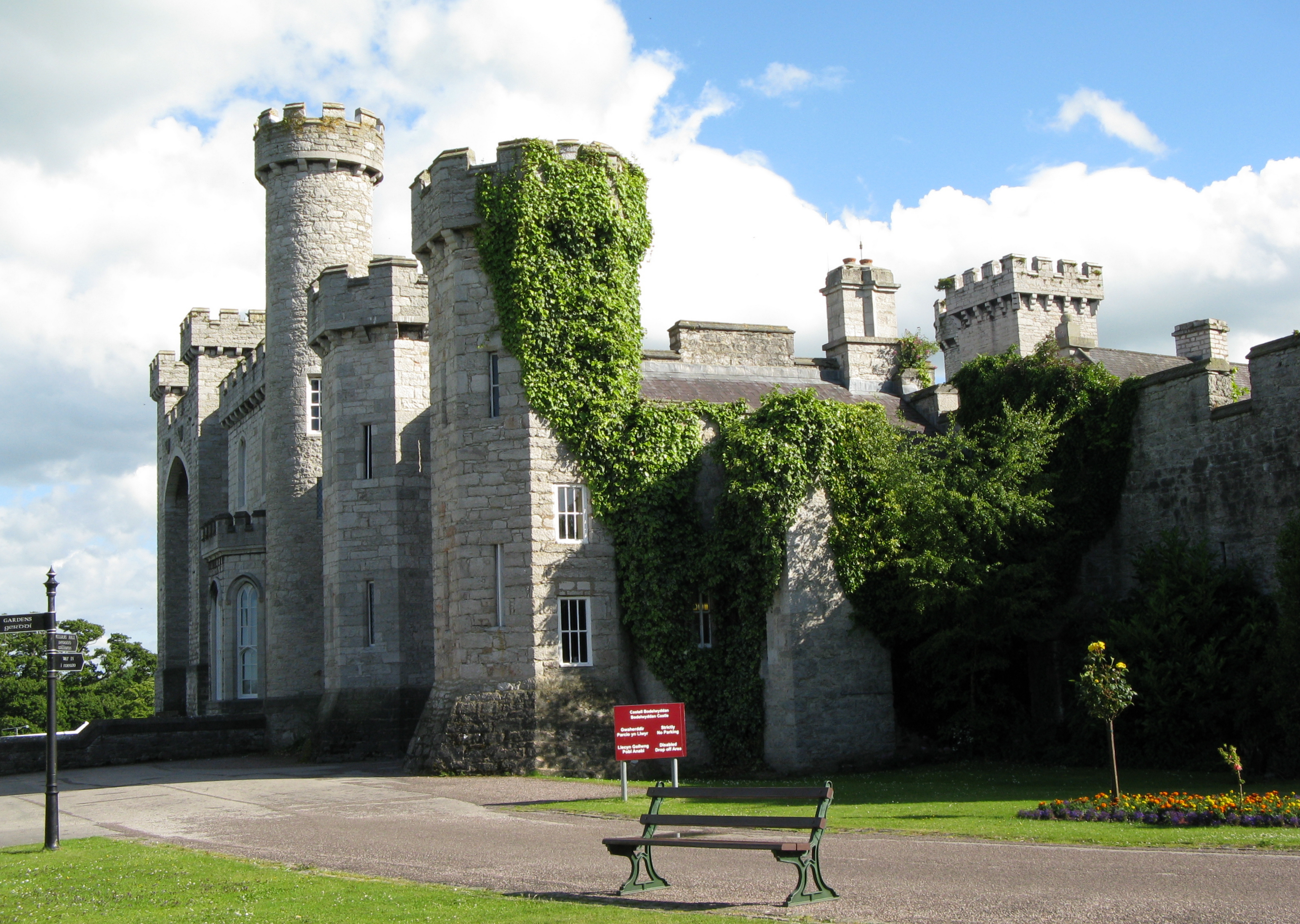
Bodelwyddan Castle

Bodelwyddan Castle (Welsh: Castell Bodelwyddan), close to the village of Bodelwyddan, near Rhyl, Denbighshire in Wales, was built around 1460 by the Humphreys...

Nearby Amenities

Located within 500m of 53.263816,-3.5401637
The data included in this document is from www.openstreetmap.org. The data is made available under ODbL.

Have you been to Coed y Meibion?

Leave your review of Coed y Meibion below (or comments, questions and feedback).