Tylwch Wood
Wood, Forest in Montgomeryshire
Wales
Tylwch Wood

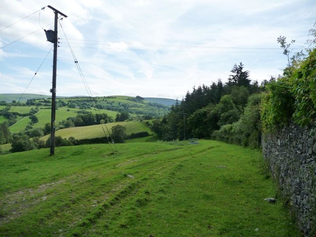
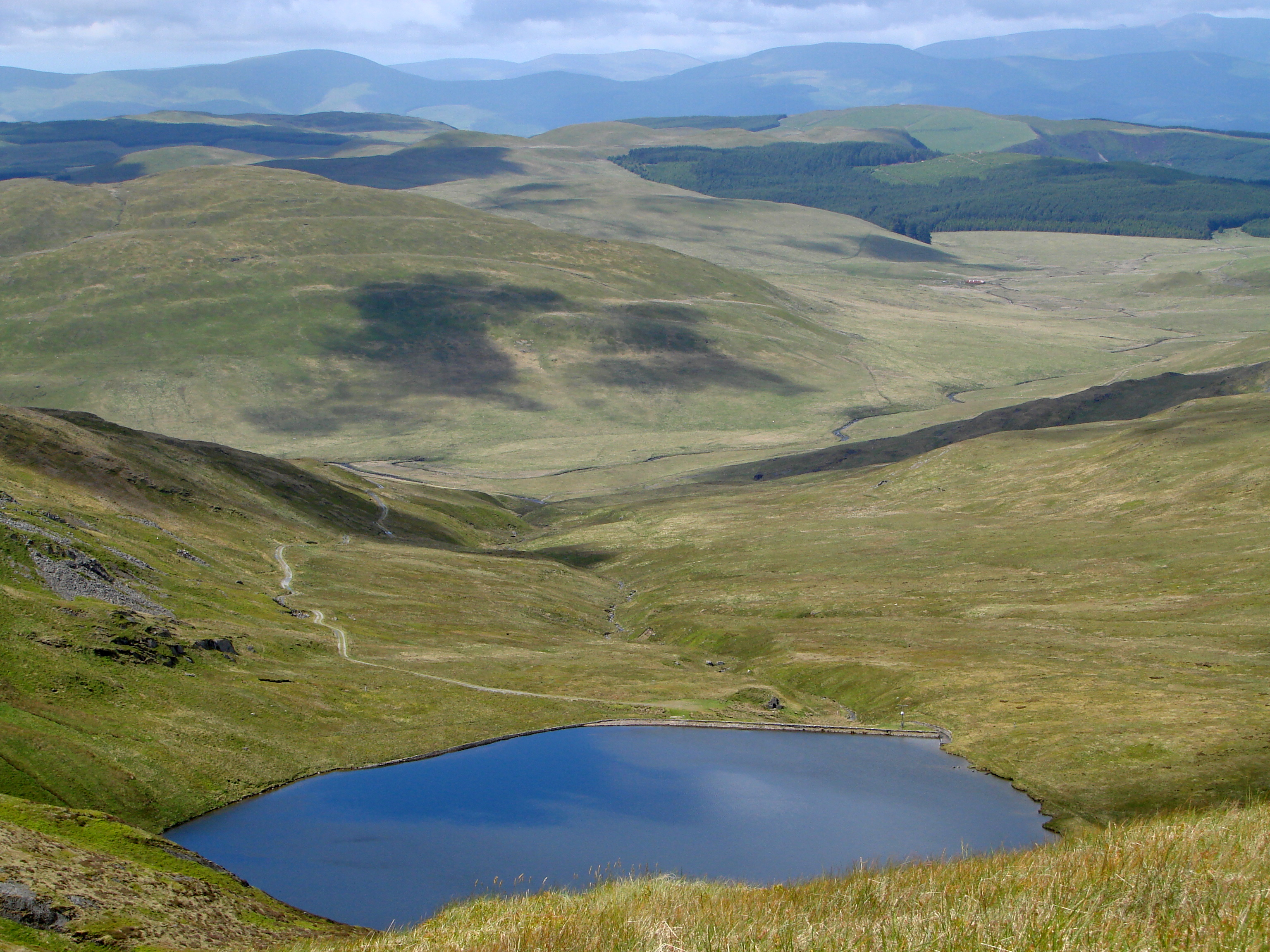
Tylwch Wood, located in Montgomeryshire, Wales, is a picturesque forest that spans across a vast area of land. This enchanting woodland is known for its natural beauty and diverse ecosystem, making it a popular destination for nature enthusiasts and hikers alike.
The wood is characterized by its dense canopy of towering trees, which includes a mix of broadleaf and coniferous species. This combination creates a unique environment that supports a wide range of wildlife, including various bird species, mammals, and insects. Visitors to Tylwch Wood may have the chance to spot elusive creatures such as red deer, badgers, and foxes among the trees.
Tranquil walking trails wind through the wood, allowing visitors to immerse themselves in its serene atmosphere. These paths provide an opportunity to explore the diverse vegetation that thrives within the forest, from vibrant wildflowers to ancient ferns. The wood is particularly stunning during the spring and summer months, when the forest floor is adorned with a carpet of bluebells and other blooming flowers.
Tylwch Wood is also home to a meandering river, which adds to the beauty and tranquility of the area. The river provides a natural habitat for aquatic life, and its gentle babbling can be heard throughout the wood.
Overall, Tylwch Wood is a captivating destination for those seeking to connect with nature and experience the peacefulness of a Welsh forest. Its natural wonders and diverse ecosystem make it a must-visit location for both locals and tourists alike.
If you have any feedback on the listing, please let us know in the comments section below.
Tylwch Wood Images
Images are sourced within 2km of 52.415791/-3.5101006 or Grid Reference SN9780. Thanks to Geograph Open Source API. All images are credited.


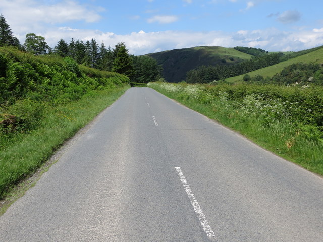
![The road to Llanidloes Heading north-east near Maesiocyn / Maes-socyn [spelling varies according to source].](https://s1.geograph.org.uk/geophotos/05/02/77/5027793_477fa107.jpg)


![One of a line of farm buildings west of Talcen-llwydiarth As yet unmapped [July 2016], so must be fairly new.](https://s2.geograph.org.uk/geophotos/05/02/83/5028302_ab042000.jpg)


Tylwch Wood is located at Grid Ref: SN9780 (Lat: 52.415791, Lng: -3.5101006)
Unitary Authority: Powys
Police Authority: Dyfed Powys
What 3 Words
///slang.powering.grow. Near Llanidloes, Powys
Nearby Locations
Related Wikis
Tylwch
Tylwch is a small village in Powys, Wales. Tylwch lies south of the principal town of Llanidloes on the border of Montgomeryshire and Radnorshire. It lies...
Cambrian Mountains
The Cambrian Mountains (Welsh: Mynyddoedd Cambria, in a narrower sense: Elenydd) are a series of mountain ranges in Wales. The term Cambrian Mountains...

Tylwch railway station
Tylwch railway station was a station in Tylwch, Powys, Wales. The station was closed in 1962.On 16 September 1899, an accident happened at the station...

Mid and West Wales
Mid and West Wales or Mid and South West Wales is an ambiguous region of Wales that is sometimes used, consisting broadly of the preserved counties of...
Nearby Amenities
Located within 500m of 52.415791,-3.5101006Have you been to Tylwch Wood?
Leave your review of Tylwch Wood below (or comments, questions and feedback).