Coed Cae-môch
Wood, Forest in Denbighshire
Wales
Coed Cae-môch
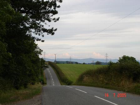
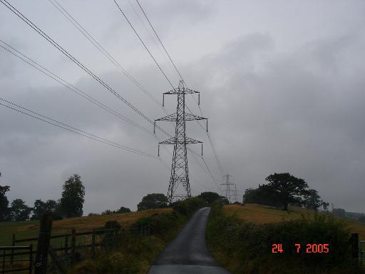
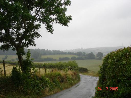
Coed Cae-môch is a picturesque woodland located in Denbighshire, Wales. Spanning approximately 50 hectares, this enchanting forest is nestled within the beautiful Vale of Clwyd. The name "Coed Cae-môch" translates to "Wood, Forest" in English, which perfectly captures the essence of this natural haven.
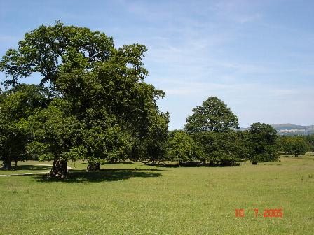
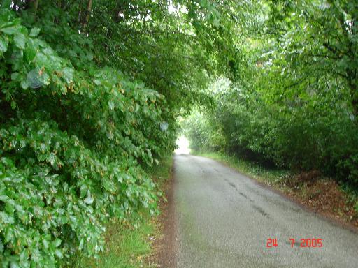
The woodland boasts a diverse range of flora and fauna, making it a haven for nature enthusiasts and wildlife lovers. Ancient oak trees, along with an array of other native tree species, dominate the landscape, creating a lush and verdant environment. The forest floor is adorned with a carpet of wildflowers during the spring and summer months, adding a burst of color to the scene.
Coed Cae-môch is home to a variety of wildlife, including deer, foxes, badgers, and numerous bird species. Birdwatchers can spot owls, woodpeckers, and warblers among the branches. The forest also houses a rich insect population, with butterflies and bees fluttering around the wildflowers.
The woodland offers a range of walking trails and paths, allowing visitors to explore its natural wonders at their own pace. These trails are well-maintained and provide stunning views of the surrounding countryside. The peaceful atmosphere of Coed Cae-môch makes it an ideal spot for a leisurely stroll or a picnic amidst nature.
Overall, Coed Cae-môch is a true gem within Denbighshire, offering a tranquil retreat from the hustle and bustle of everyday life. Its natural beauty and abundance of wildlife make it a must-visit destination for anyone seeking solace in the embrace of nature.
If you have any feedback on the listing, please let us know in the comments section below.
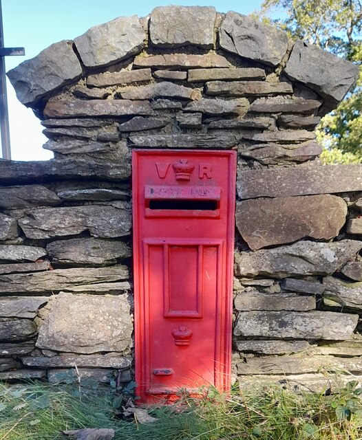
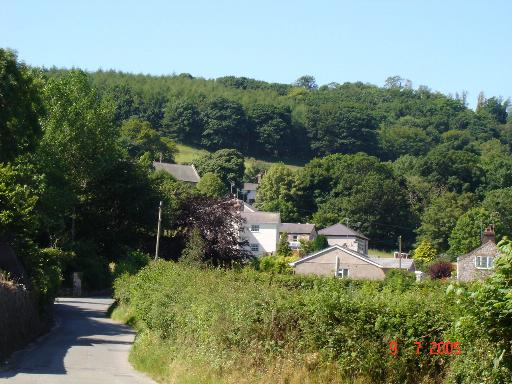
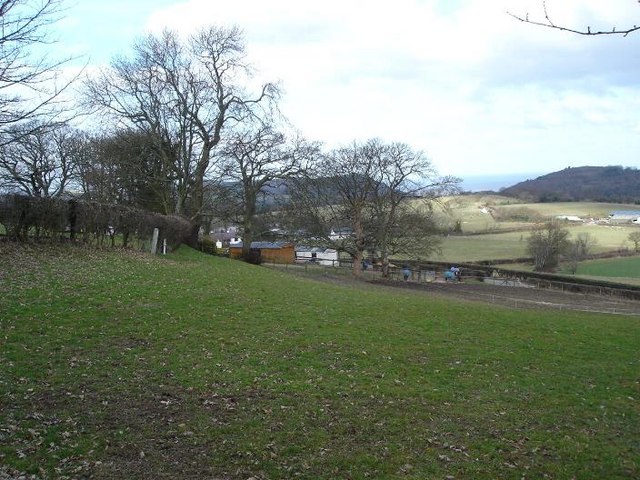
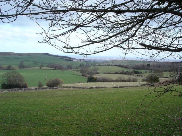
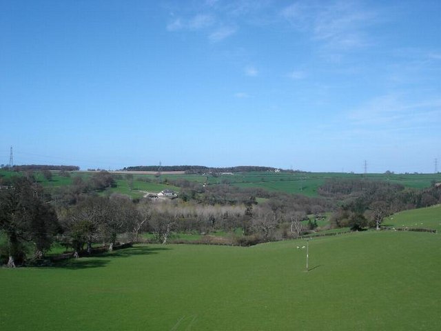
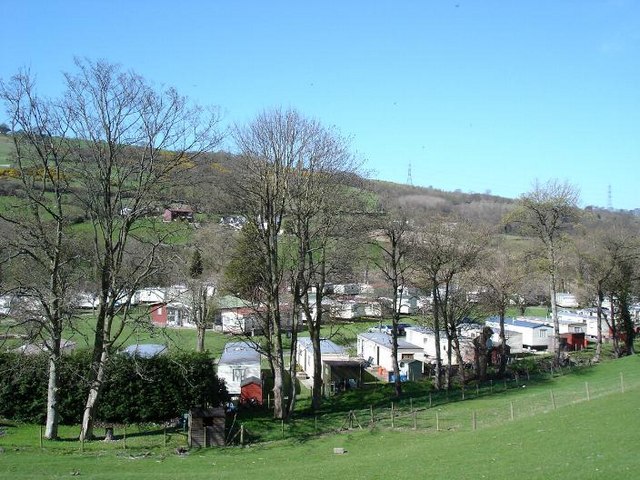
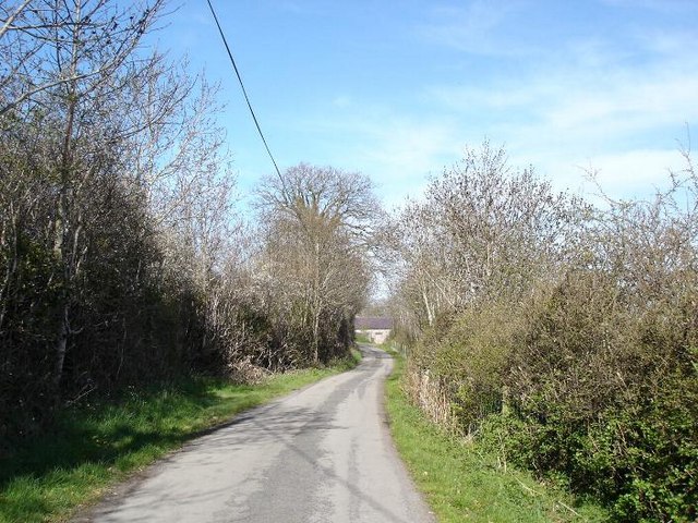
Coed Cae-môch Images
Images are sourced within 2km of 53.255341/-3.5420927 or Grid Reference SH9774. Thanks to Geograph Open Source API. All images are credited.


Coed Cae-môch is located at Grid Ref: SH9774 (Lat: 53.255341, Lng: -3.5420927)
Unitary Authority: Conwy
Police Authority: North Wales
What 3 Words
///robots.mental.crucially. Near Bodelwyddan, Denbighshire
Nearby Locations
Related Wikis
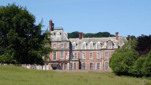
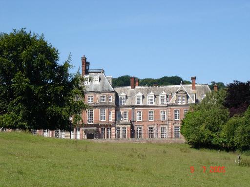
Kinmel Hall
Kinmel Hall is a large country mansion within Kimnel Park near the village of St. George, close to the coastal town of Abergele, in Conwy county borough...

St George, Conwy
St George (Welsh: Llansansior, sometimes Llan San(t) Siôr or Llan Sain Siôr) is a small village in the county borough of Conwy, Wales and is close to the...

Kinmel Park Training Area
Kinmel Park Training Area is an army training ground in what was once the grounds of Kinmel Hall, near Abergele, in Conwy county borough, Wales. The camp...

Moelfre Isaf
Moelfre Isaf is a 317 m (1,040 ft) hill located to the south of the town of Abergele. There are views towards the Clwydian Range, Snowdonia, and the Isle...
Nearby Amenities
Located within 500m of 53.255341,-3.5420927Have you been to Coed Cae-môch?
Leave your review of Coed Cae-môch below (or comments, questions and feedback).