Coed Parc-y-meirch
Wood, Forest in Denbighshire
Wales
Coed Parc-y-meirch
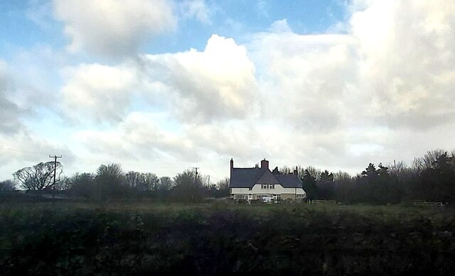
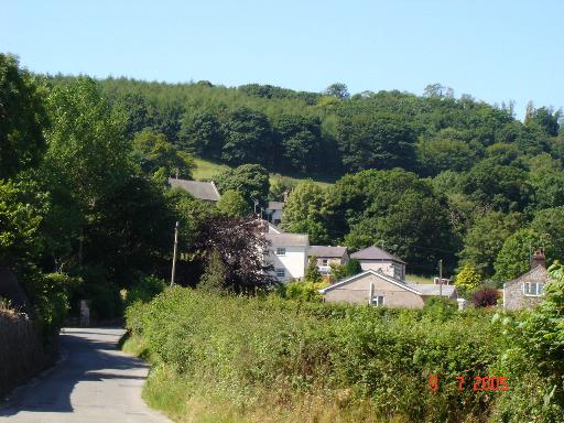
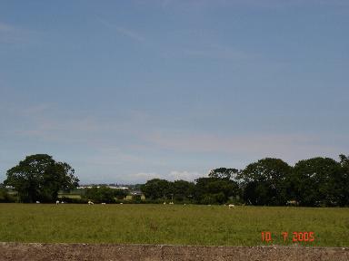
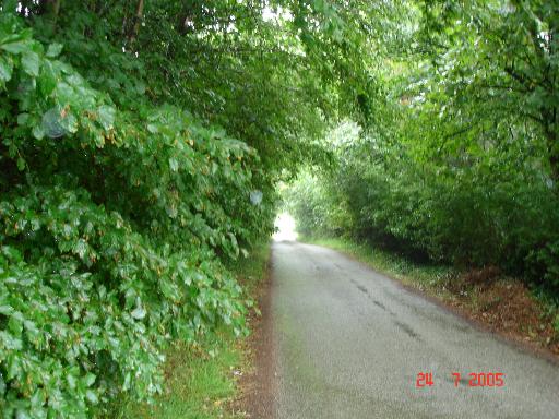
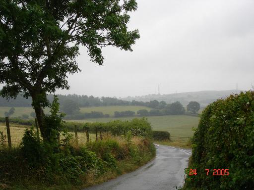
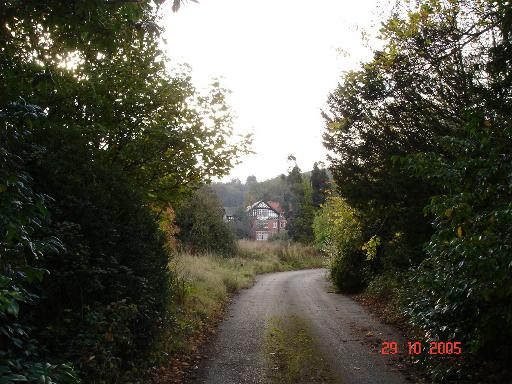
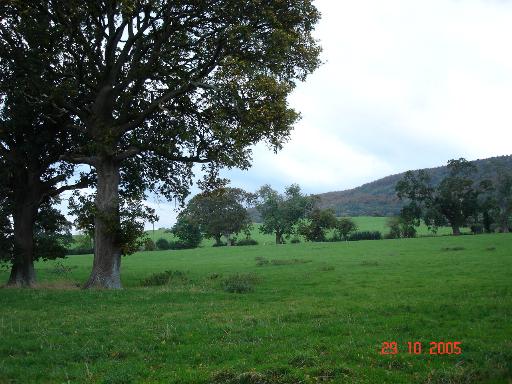
Coed Parc-y-meirch is a beautiful woodland located in Denbighshire, Wales. Situated in the heart of the Vale of Clwyd, this woodland stands as a testament to the natural beauty of the region. Covering an area of approximately 350 acres, Coed Parc-y-meirch is a haven for nature enthusiasts and outdoor lovers.
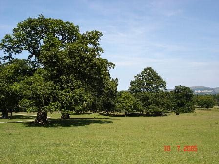
The woodland is primarily composed of a mix of deciduous and coniferous trees, creating a diverse and picturesque landscape. Oak, beech, and birch trees dominate the woodland, while spruce and pine trees provide a touch of evergreen charm. The forest floor is adorned with a variety of plants and wildflowers, adding to the enchanting atmosphere.
Coed Parc-y-meirch is home to a wide range of wildlife, making it a popular spot for birdwatching and nature photography. Visitors can spot various species of birds, including woodpeckers, thrushes, and owls, as well as small mammals such as squirrels and rabbits. The woodland also provides a habitat for numerous insects and butterflies.
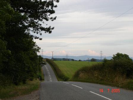
In addition to its natural beauty, Coed Parc-y-meirch offers several walking and cycling trails, allowing visitors to explore the woodland at their own pace. The paths wind through the trees, offering peaceful and serene surroundings. The woodland also has picnic areas, providing a perfect spot to relax and enjoy the tranquility of the forest.
Overall, Coed Parc-y-meirch is a stunning woodland that offers a chance to experience the wonders of nature. Its diverse flora and fauna, coupled with its serene atmosphere, make it an ideal destination for those seeking a peaceful retreat in the heart of Denbighshire.
If you have any feedback on the listing, please let us know in the comments section below.
Coed Parc-y-meirch Images
Images are sourced within 2km of 53.267833/-3.5451364 or Grid Reference SH9775. Thanks to Geograph Open Source API. All images are credited.
Coed Parc-y-meirch is located at Grid Ref: SH9775 (Lat: 53.267833, Lng: -3.5451364)
Unitary Authority: Conwy
Police Authority: North Wales
What 3 Words
///joys.fizzled.loafing. Near Bodelwyddan, Denbighshire
Nearby Locations
Related Wikis

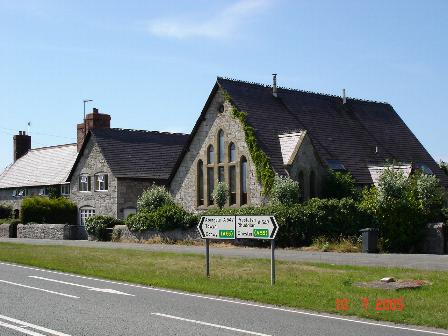
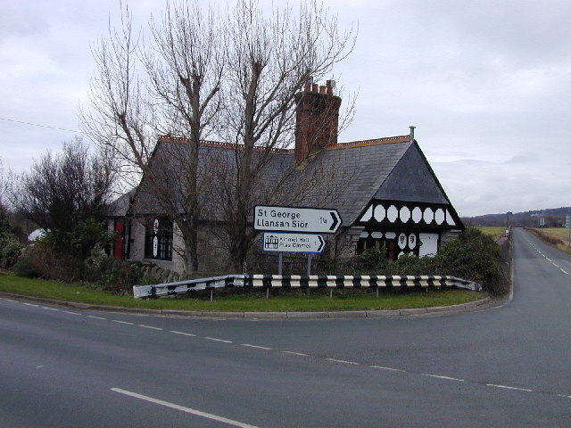
St George, Conwy
St George (Welsh: Llansansior, sometimes Llan San(t) Siôr or Llan Sain Siôr) is a small village in the county borough of Conwy, Wales and is close to the...

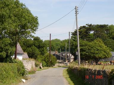
Kinmel Park Training Area
Kinmel Park Training Area is an army training ground in what was once the grounds of Kinmel Hall, near Abergele, in Conwy county borough, Wales. The camp...
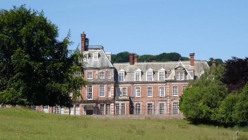
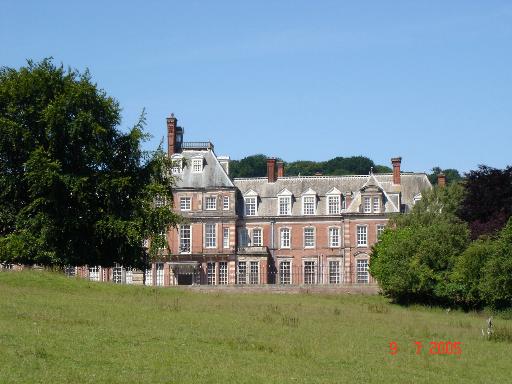
Kinmel Hall
Kinmel Hall is a large country mansion within Kimnel Park near the village of St. George, close to the coastal town of Abergele, in Conwy county borough...

Abergele Hospital
Abergele Hospital (Welsh: Ysbyty Abergele) is a community hospital in Abergele, Wales. It is managed by Betsi Cadwaladr University Health Board. ��2�...
Nearby Amenities
Located within 500m of 53.267833,-3.5451364Have you been to Coed Parc-y-meirch?
Leave your review of Coed Parc-y-meirch below (or comments, questions and feedback).