Pennsylvania Wood

Wood, Forest in Glamorgan

Wales

Pennsylvania Wood

Ordnance Survey Cut Mark This OS cut mark can be found on the NW buttress of the railway bridge. It marks a point 35.034m above mean sea level.
Ordnance Survey Cut Mark Credit: Adrian Dust

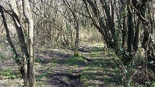
Pennsylvania Wood, located in Glamorgan, Wales, is a picturesque woodland area covering a vast expanse of approximately 200 acres. This enchanting forest is known for its diverse flora and fauna, making it a popular destination for nature enthusiasts and hikers alike.

The wood is predominantly composed of broadleaf trees, such as oak, beech, and chestnut, creating a rich and vibrant canopy that provides shade and habitat for a wide variety of wildlife. Visitors can expect to encounter an array of bird species, including woodpeckers, owls, and various songbirds, filling the air with their melodious calls.

The forest floor is adorned with a tapestry of wildflowers, ferns, and mosses, adding to the wood's natural beauty. Pennsylvania Wood is also home to numerous mammals, such as foxes, badgers, and deer, which can often be spotted roaming through the quiet glades and hidden clearings.

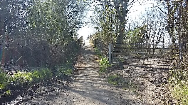
Tranquil walking trails weave through the wood, allowing visitors to explore its hidden treasures and immerse themselves in the serene ambiance. The paths are well-maintained, ensuring a safe and enjoyable experience for all who venture into the woodland.

Pennsylvania Wood attracts visitors year-round, with each season offering its own unique charm. In spring, the forest bursts to life with vibrant blossoms and fresh green foliage. Summers are characterized by dappled sunlight filtering through the leaves, creating a cool and refreshing atmosphere. Autumn paints the wood with a kaleidoscope of warm hues, while winter transforms it into a tranquil wonderland, with frost-covered branches and a peaceful silence.

Pennsylvania Wood, with its natural beauty and abundant wildlife, is a treasure trove waiting to be discovered by those seeking solace and connection with nature in the heart of Glamorgan.

If you have any feedback on the listing, please let us know in the comments section below.

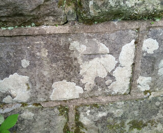
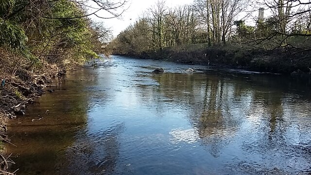
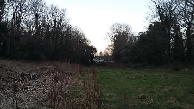
Pennsylvania Wood Images

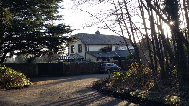
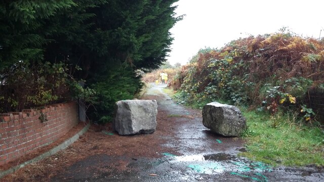
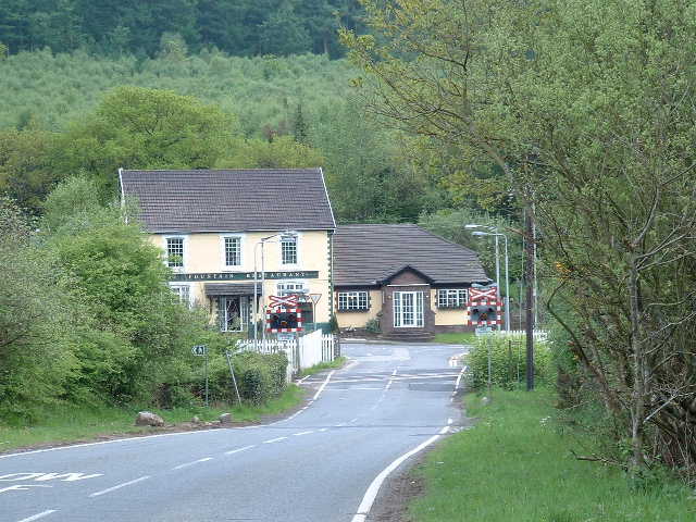
Images are sourced within 2km of 51.536513/-3.6076279 or Grid Reference SS8883. Thanks to Geograph Open Source API. All images are credited.

Ordnance Survey Cut Mark This OS cut mark can be found on the NW buttress of the railway bridge. It marks a point 35.034m above mean sea level.
Ordnance Survey Cut Mark
This OS cut mark can be found on the NW buttress of the railway bridge. It marks a point 35.034m above mean sea level.
Motorway footbridge The footbridge over the motorway between Sarn and Penycae
Motorway footbridge
The footbridge over the motorway between Sarn and Penycae
River Ogmore River Ogmore down river view, near the old lodge Glanrhyd, just below the S bends
River Ogmore
River Ogmore down river view, near the old lodge Glanrhyd, just below the S bends
Heol Ganol Sarn The shops at Heol Ganol Sarn, under a rainbow
Heol Ganol Sarn
The shops at Heol Ganol Sarn, under a rainbow
Sarn Sarn Heol Cwrdy, before the new housing development
Sarn
Sarn Heol Cwrdy, before the new housing development
Glanrhyd Riverside footpath walk from Glanrhyd to Bridgend
Glanrhyd
Riverside footpath walk from Glanrhyd to Bridgend
Glanrhyd Riverside walk from Glanrhyd to Tyn y Garn
Glanrhyd
Riverside walk from Glanrhyd to Tyn y Garn
Glanrhyd to Tyn y Garn Glanrhyd to Tyn y Garn, view of the houses in the lane, from across the fields,  between Glanrhyd and Tyn y Garn
Glanrhyd to Tyn y Garn
Glanrhyd to Tyn y Garn, view of the houses in the lane, from across the fields, between Glanrhyd and Tyn y Garn
Tyn y Garn Sarn Tyn y Garn to Sarn, an old, rarely used footpath which goes from Tyn y Garn, to a railway crossing, and comes out at the Cymdda Sarn
Tyn y Garn Sarn
Tyn y Garn to Sarn, an old, rarely used footpath which goes from Tyn y Garn, to a railway crossing, and comes out at the Cymdda Sarn
M4 Motorway M4 Motorway construction, view of the Motorway past the viaduct, to the on and off slip roads, with the bypass on the left
M4 Motorway
M4 Motorway construction, view of the Motorway past the viaduct, to the on and off slip roads, with the bypass on the left
Ordnance Survey Rivet This OS rivet can be found on the wall of the cemetery on Sarn Hill. It marks a point 61.749m above mean sea level.
Ordnance Survey Rivet
This OS rivet can be found on the wall of the cemetery on Sarn Hill. It marks a point 61.749m above mean sea level.
Ordnance Survey Cut Mark This OS cut mark can be found on No4 Sarn Hill. It marks a point 62.912m above mean sea level.
Ordnance Survey Cut Mark
This OS cut mark can be found on No4 Sarn Hill. It marks a point 62.912m above mean sea level.
Ordnance Survey Cut Mark This OS cut mark can be found on No29 Bryncoch Road. It marks a point 58.367m above mean sea level.
Ordnance Survey Cut Mark
This OS cut mark can be found on No29 Bryncoch Road. It marks a point 58.367m above mean sea level.
Sarn Between Sarn and Penycae, on the side of the old road, the pumphouse
Sarn
Between Sarn and Penycae, on the side of the old road, the pumphouse
Sarn View from the old road from Sarn to Penycae, the rear of the Motel alongside the Motorway
Sarn
View from the old road from Sarn to Penycae, the rear of the Motel alongside the Motorway
Penycae Penycae, the Tyrisha public house, formerly an old farmhouse
Penycae
Penycae, the Tyrisha public house, formerly an old farmhouse
Glanrhyd Between Penycae and Tyn y Garn, Rhyd House, formerly a lodge for Glanrhyd
Glanrhyd
Between Penycae and Tyn y Garn, Rhyd House, formerly a lodge for Glanrhyd
Sarn Sarn, the old lane which led to garages, being closed off for new development, situated between Heol Llansantffraid and Lower Llansantffraid Sarn
Sarn
Sarn, the old lane which led to garages, being closed off for new development, situated between Heol Llansantffraid and Lower Llansantffraid Sarn
Show me another place!

Pennsylvania Wood is located at Grid Ref: SS8883 (Lat: 51.536513, Lng: -3.6076279)

Unitary Authority: Bridgend

Police Authority: South Wales

What 3 Words

///post.fully.hotel. Near Aberkenfig, Bridgend

Related Wikis

Newcastle Higher

Newcastle Higher is a community in Bridgend County Borough, south Wales. Located north west of Bridgend town centre it is made up of the townships of Pen...

Parc Slip Colliery

Parc Slip Colliery was a coal mine near situated at Aberkenfig, near Tondu in Bridgend County Borough, Wales. == History == === Parc Slip Colliery: 1860... ===

Aberkenfig

Aberkenfig (Welsh: Abercynffig, meaning "mouth of the Kenfig" (stream)) is a village located in the County Borough of Bridgend, Wales to the north of Bridgend...

Garw Valley Railway

The Garw Valley Railway is the trading name of the Bridgend Valleys Railway Company Limited. It operates a short section of 4 ft 8+1⁄2 in (1,435 mm) standard...

Nearby Amenities

Located within 500m of 51.536513,-3.6076279
Fountain
Crossing Barrier: no
Crossing Light: yes
Crossing Saltire: yes
Railway: level_crossing
Lat/Long: 51.5391301/-3.6127045
Pub
The Fountain
Addr Postcode: CF32 0EW
Addr Street: Fountain Road
Fhrs Id: 968240
Source Addr: FHRS Open Data
Lat/Long: 51.5387616/-3.6125896
Bus Stop
Fountain Inn
Naptan AtcoCode: 5510AWA12815
Naptan NaptanCode: breapwg
Shelter: yes
Lat/Long: 51.5388259/-3.6130634
Direction: 165
Generator Method: photovoltaic
Generator Output Electricity: yes
Generator Solar Modules: 32
Generator Source: solar
Generator Type: solar_photovoltaic_panel
Location: roof
Power: generator
Lat/Long: 51.5368914/-3.600474
The data included in this document is from www.openstreetmap.org. The data is made available under ODbL.

Have you been to Pennsylvania Wood?

Leave your review of Pennsylvania Wood below (or comments, questions and feedback).