Fountain

Settlement in Glamorgan

Wales

Fountain

Heol Ganol Sarn The shops at Heol Ganol Sarn, under a rainbow
Heol Ganol Sarn Credit: Colin Prosser

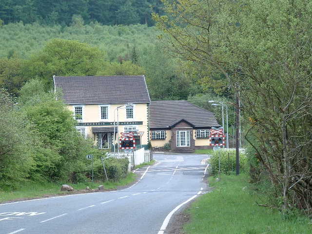
Fountain is a small village located in the county of Glamorgan, Wales. Situated in the Vale of Glamorgan, it is nestled between the towns of Cowbridge and Bridgend, and lies just a short distance from the coastline of the Bristol Channel.

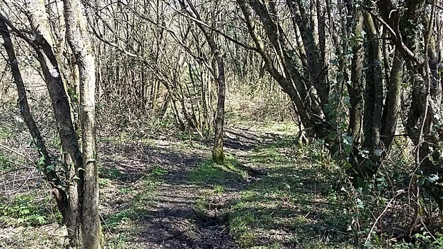
Fountain is known for its picturesque countryside and charming rural setting. The village is surrounded by rolling hills, farmland, and lush green fields, offering residents and visitors a peaceful and idyllic environment. The area is particularly popular among nature lovers, hikers, and cyclists who enjoy exploring the scenic landscapes.

Although small in size, Fountain has a strong sense of community. It is home to a close-knit population who take great pride in their village and work together to maintain its charm. The village features a few local amenities, including a pub, a village hall, and a primary school, which serves the immediate area.

One of the notable attractions in Fountain is its historic church, St. Mary's Church. Dating back to the 12th century, the church is a beautiful example of medieval architecture and is of great historical and cultural significance. It serves as a place of worship for the local community and also attracts visitors interested in exploring its rich heritage.

Overall, Fountain is a quiet and scenic village in Glamorgan that offers residents and visitors a peaceful retreat from the hustle and bustle of city life. With its stunning natural surroundings and strong community spirit, it is a delightful place to live or visit for those seeking tranquility and a touch of history.

If you have any feedback on the listing, please let us know in the comments section below.
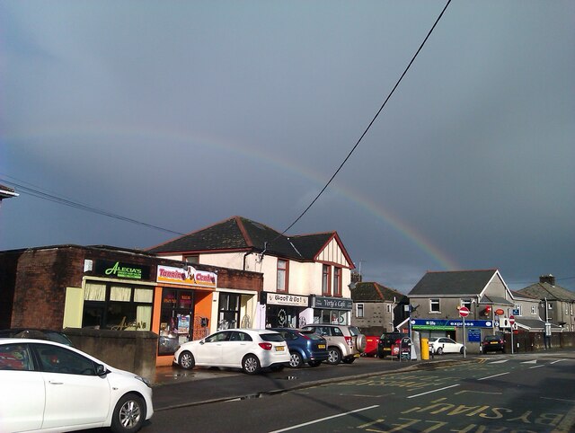
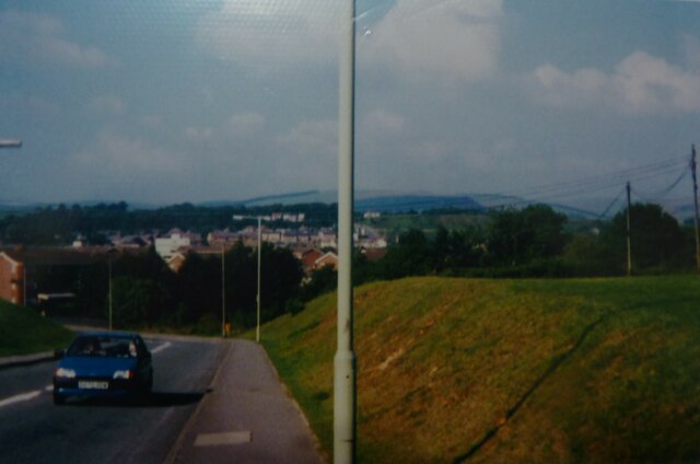
Fountain Images

Images are sourced within 2km of 51.538843/-3.612778 or Grid Reference SS8883. Thanks to Geograph Open Source API. All images are credited.

Heol Ganol Sarn The shops at Heol Ganol Sarn, under a rainbow
Heol Ganol Sarn
The shops at Heol Ganol Sarn, under a rainbow
Sarn Sarn Heol Cwrdy, before the new housing development
Sarn
Sarn Heol Cwrdy, before the new housing development
Tyn y Garn Sarn Tyn y Garn to Sarn, an old, rarely used footpath which goes from Tyn y Garn, to a railway crossing, and comes out at the Cymdda Sarn
Tyn y Garn Sarn
Tyn y Garn to Sarn, an old, rarely used footpath which goes from Tyn y Garn, to a railway crossing, and comes out at the Cymdda Sarn
Ordnance Survey Rivet This OS rivet can be found on the wall of the cemetery on Sarn Hill. It marks a point 61.749m above mean sea level.
Ordnance Survey Rivet
This OS rivet can be found on the wall of the cemetery on Sarn Hill. It marks a point 61.749m above mean sea level.
Ordnance Survey Cut Mark This OS cut mark can be found on No29 Bryncoch Road. It marks a point 58.367m above mean sea level.
Ordnance Survey Cut Mark
This OS cut mark can be found on No29 Bryncoch Road. It marks a point 58.367m above mean sea level.
Sarn Sarn, the old lane which led to garages, being closed off for new development, situated between Heol Llansantffraid and Lower Llansantffraid Sarn
Sarn
Sarn, the old lane which led to garages, being closed off for new development, situated between Heol Llansantffraid and Lower Llansantffraid Sarn
Sarn The lane which led to garages, between Heol Llansantffraid and Lower Llansantffraid, , being closed off ready for new development
Sarn
The lane which led to garages, between Heol Llansantffraid and Lower Llansantffraid, , being closed off ready for new development
Sarn Sarn, the old garage lane, between Heol Llansantffraid and Lower Llansantffraid, being closed off for new development, the old garages were on the right, there were 4 garages my brother had one
Sarn
Sarn, the old garage lane, between Heol Llansantffraid and Lower Llansantffraid, being closed off for new development, the old garages were on the right, there were 4 garages my brother had one
Sarn View of Lower Llansantffraid Sarn, after snowfall and coldest December for 120 years
Sarn
View of Lower Llansantffraid Sarn, after snowfall and coldest December for 120 years
Sarn Colourful skies just after sunrise at Sarn
Sarn
Colourful skies just after sunrise at Sarn
Sarn cemetery Sarn cemetery, newly added bench, to commemorate men and women who fell during both wars 1914 to 1918 and 1939 to 1945, there has been added a 2nd bench, one each side of the plaque
Sarn cemetery
Sarn cemetery, newly added bench, to commemorate men and women who fell during both wars 1914 to 1918 and 1939 to 1945, there has been added a 2nd bench, one each side of the plaque
Sarn cemetery Sarn cemetery, new plaque to commemorate men and women who fell during the wars 1914 to 1918 and 1939 to 1945
Sarn cemetery
Sarn cemetery, new plaque to commemorate men and women who fell during the wars 1914 to 1918 and 1939 to 1945
Sarn Sarn, Crescent Road, snow
Sarn
Sarn, Crescent Road, snow
Sarn Sarn, viewed from my front garden, over tops of houses across road, unusual cloud colours, opposite end of sky to the sunset
Sarn
Sarn, viewed from my front garden, over tops of houses across road, unusual cloud colours, opposite end of sky to the sunset
Sarn Sarn, Heol Ynysawdre, overnight snowfall
Sarn
Sarn, Heol Ynysawdre, overnight snowfall
Sarn Sarn, The Green, when snowfall from a week earlier, had frozen and turned to ice
Sarn
Sarn, The Green, when snowfall from a week earlier, had frozen and turned to ice
Sarn Sarn, view from river footbridge, to Heol Ynysawdre, and Lower Llansantffraid, snow covered roads and play fields
Sarn
Sarn, view from river footbridge, to Heol Ynysawdre, and Lower Llansantffraid, snow covered roads and play fields
Tyn y Garn Tyn y Garn, the old stone bridge, commonly called Swanee bridge, a wing wall was added to the bridge, the inscription on the wall, not an easy shot to get as a steel gate post alongside
Tyn y Garn
Tyn y Garn, the old stone bridge, commonly called Swanee bridge, a wing wall was added to the bridge, the inscription on the wall, not an easy shot to get as a steel gate post alongside
Show me another place!

Fountain is located at Grid Ref: SS8883 (Lat: 51.538843, Lng: -3.612778)

Unitary Authority: Bridgend

Police Authority: South Wales

What 3 Words

///refers.blocks.bunny. Near Aberkenfig, Bridgend

Related Wikis

Newcastle Higher

Newcastle Higher is a community in Bridgend County Borough, south Wales. Located north west of Bridgend town centre it is made up of the townships of Pen...

Parc Slip Colliery

Parc Slip Colliery was a coal mine near situated at Aberkenfig, near Tondu in Bridgend County Borough, Wales. == History == === Parc Slip Colliery: 1860... ===

Bryn–bach, Cefn Cribwr

Bryn–bach, Cefn Cribwr is a Site of Special Scientific Interest in Cefn Cribwr, south Wales. == See also == List of Sites of Special Scientific Interest...

Aberkenfig

Aberkenfig (Welsh: Abercynffig, meaning "mouth of the Kenfig" (stream)) is a village located in the County Borough of Bridgend, Wales to the north of Bridgend...

Nearby Amenities

Located within 500m of 51.538843,-3.612778
Fountain
Crossing Barrier: no
Crossing Light: yes
Crossing Saltire: yes
Railway: level_crossing
Lat/Long: 51.5391301/-3.6127045
Pub
The Fountain
Addr Postcode: CF32 0EW
Addr Street: Fountain Road
Fhrs Id: 968240
Source Addr: FHRS Open Data
Lat/Long: 51.5387616/-3.6125896
Parc Slip Colliery Disaster Memorial
Historic: memorial
Lat/Long: 51.539494/-3.6181818
Bus Stop
Fountain Inn
Naptan AtcoCode: 5510AWA12815
Naptan NaptanCode: breapwg
Shelter: yes
Lat/Long: 51.5388259/-3.6130634
The data included in this document is from www.openstreetmap.org. The data is made available under ODbL.

Have you been to Fountain?

Leave your review of Fountain below (or comments, questions and feedback).