Aberkenfig
Settlement in Glamorgan
Wales
Aberkenfig

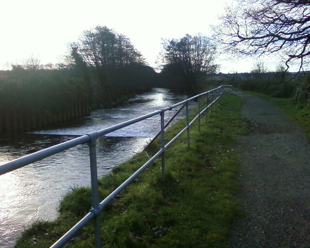
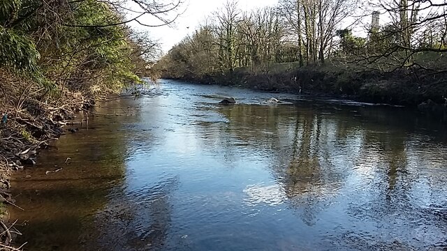
Aberkenfig is a small village located in the county borough of Bridgend, Glamorgan, South Wales. Situated approximately halfway between the cities of Bridgend and Maesteg, it lies on the eastern side of the Ogmore River. With a population of around 6,000 residents, Aberkenfig is a bustling community that offers a mix of residential, commercial, and industrial areas.
The village has a rich history, dating back to the early 19th century when it was primarily a farming community. However, with the discovery of coal in the nearby valleys, Aberkenfig experienced a significant industrial boom. The village became home to several collieries and associated industries, attracting workers from all over the region.
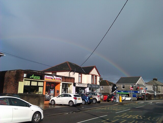
Today, Aberkenfig has transformed into a thriving village, offering a range of amenities and services to its residents. The commercial center of the village features a variety of shops, including supermarkets, convenience stores, and local businesses, catering to the daily needs of the community.
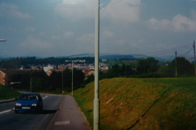
Aberkenfig is well-connected to other parts of South Wales, with easy access to major transportation links. The M4 motorway is just a short drive away, providing convenient connections to Swansea, Cardiff, and other nearby towns. Additionally, the village is served by regular bus services, offering transportation options for those without private vehicles.
For leisure and recreation, Aberkenfig offers several green spaces and parks, providing opportunities for outdoor activities and relaxation. The village also has a community center, where various events and activities take place throughout the year, fostering a strong sense of community spirit.
In conclusion, Aberkenfig is a vibrant village in Glamorgan, offering a mix of residential, commercial, and industrial areas. With its rich history, convenient location, and range of amenities, it is a desirable place to live for many residents in the area.
If you have any feedback on the listing, please let us know in the comments section below.
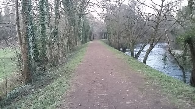
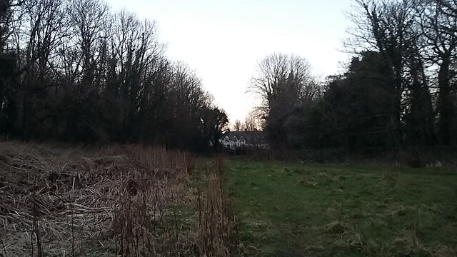
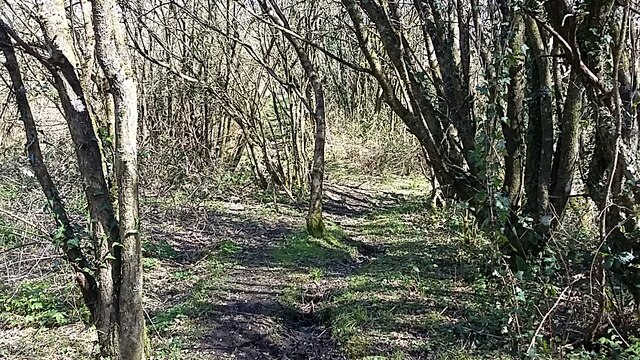
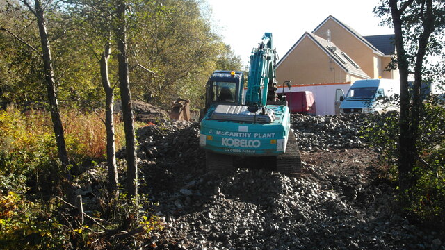
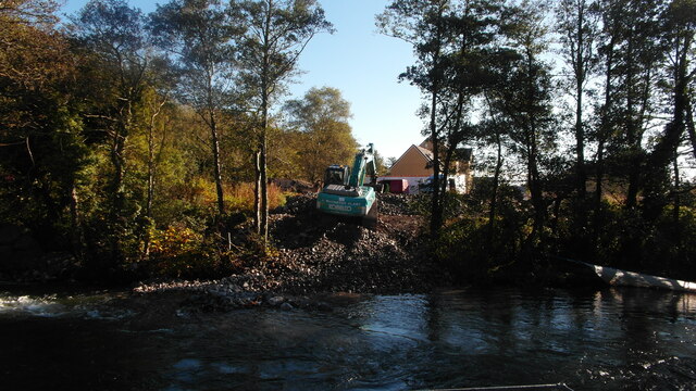
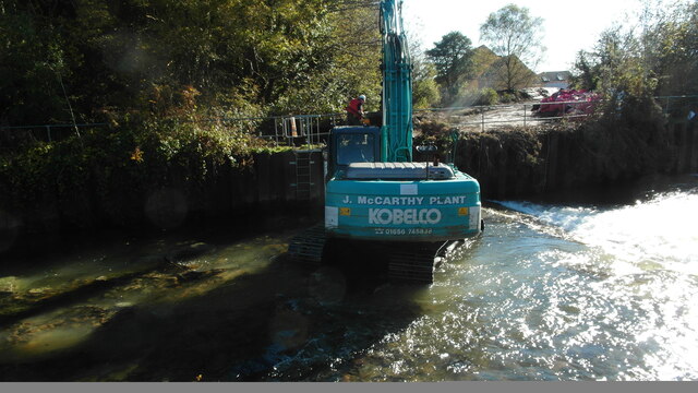
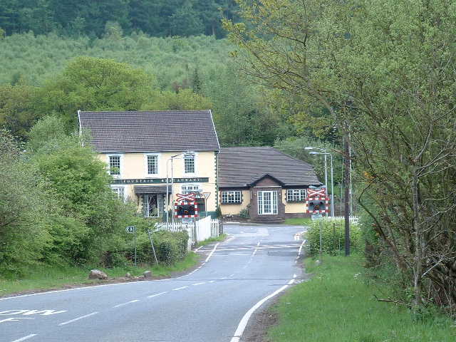
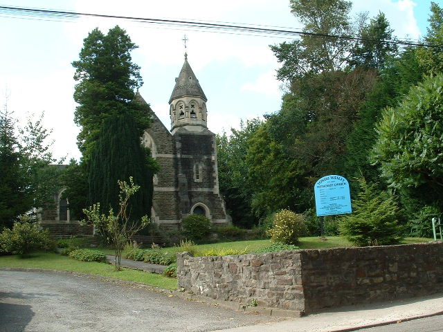
Aberkenfig Images
Images are sourced within 2km of 51.540176/-3.604069 or Grid Reference SS8883. Thanks to Geograph Open Source API. All images are credited.
Aberkenfig is located at Grid Ref: SS8883 (Lat: 51.540176, Lng: -3.604069)
Unitary Authority: Bridgend
Police Authority: South Wales
Also known as: Abercynffig
What 3 Words
///title.call.charge. Near Aberkenfig, Bridgend
Nearby Locations
Related Wikis

Parc Slip Colliery
Parc Slip Colliery was a coal mine near situated at Aberkenfig, near Tondu in Bridgend County Borough, Wales. == History == === Parc Slip Colliery: 1860... ===
Aberkenfig
Aberkenfig (Welsh: Abercynffig, meaning "mouth of the Kenfig" (stream)) is a village located in the County Borough of Bridgend, Wales to the north of Bridgend...

Newcastle Higher
Newcastle Higher is a community in Bridgend County Borough, south Wales. Located north west of Bridgend town centre it is made up of the townships of Pen...
Garw Valley Railway
The Garw Valley Railway is the trading name of the Bridgend Valleys Railway Company Limited. It operates a short section of 4 ft 8+1⁄2 in (1,435 mm) standard...
Tondu
Tondu (English: Black Meadow) is a village in Bridgend County Borough, Wales, located about 3 miles (4.8 km) north of the town of Bridgend, in the community...
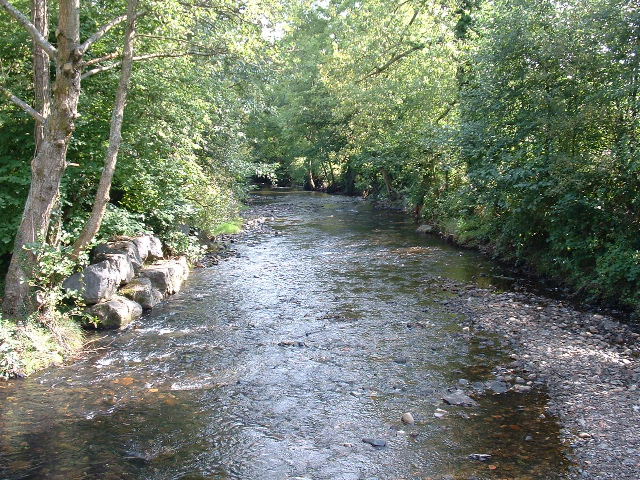
River Llynfi
The River Llynfi (Welsh: Afon Llynfi), is one of three main tributaries of the River Ogmore (Welsh: Afon Ogwr). It runs for around 10 miles from its source...

Sarn railway station
Sarn railway station is a railway station serving the village of Sarn, South Wales. It is located on the Maesteg Line from Cardiff via Bridgend. The station...
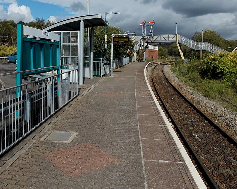
Tondu railway station
Tondu railway station is a railway station serving the village of Tondu, Bridgend county borough, South Wales. It is located on the Maesteg Line from Cardiff...
Nearby Amenities
Located within 500m of 51.540176,-3.604069Have you been to Aberkenfig?
Leave your review of Aberkenfig below (or comments, questions and feedback).