Abercynon
Settlement in Glamorgan
Wales
Abercynon
Abercynon is a small village located in the county of Glamorgan, Wales. Situated in the Cynon Valley, it lies approximately 16 miles north of Cardiff, the capital city of Wales. The village is nestled between the Brecon Beacons National Park to the north and the South Wales Valleys to the south, offering residents and visitors picturesque views and access to natural beauty.
Historically, Abercynon was largely an industrial village, thriving during the coal-mining era. The village was established in the 19th century to support the nearby collieries and ironworks, and evidence of its industrial past can still be seen in the form of old mine buildings and structures. However, as the coal industry declined, Abercynon has transformed into a more residential area.
Today, Abercynon is known for its close-knit community and friendly atmosphere. The village offers a range of amenities, including local shops, pubs, and cafes, providing residents with convenient access to everyday necessities. Additionally, Abercynon benefits from excellent transport links, with a train station connecting the village to Cardiff and other major cities in the region.
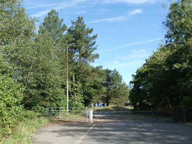
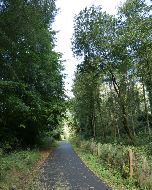
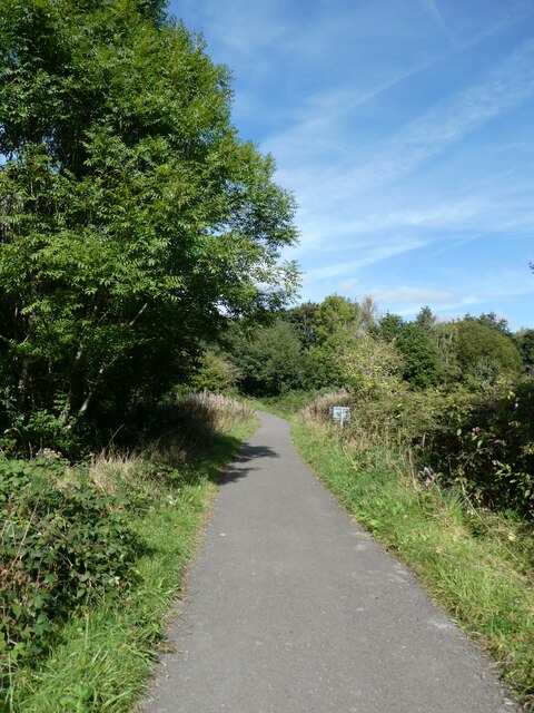
For outdoor enthusiasts, Abercynon offers plenty of opportunities for recreation and exploration. The surrounding countryside provides numerous walking and hiking trails, while nearby rivers and reservoirs offer fishing and boating activities. The Taff Trail, a popular long-distance footpath, also passes through the village, attracting tourists and locals looking to immerse themselves in the stunning natural surroundings.
In summary, Abercynon is a charming village in Glamorgan, Wales, that has transitioned from an industrial past to a residential community. With its beautiful location and range of amenities, it is an attractive place to live and visit for those seeking a balance between countryside tranquility and urban convenience.
If you have any feedback on the listing, please let us know in the comments section below.
Abercynon Images
Images are sourced within 2km of 51.646067/-3.328531 or Grid Reference ST0894. Thanks to Geograph Open Source API. All images are credited.


Abercynon is located at Grid Ref: ST0894 (Lat: 51.646067, Lng: -3.328531)
Unitary Authority: Rhondda Cynon Taf
Police Authority: South Wales
What 3 Words
///shadowing.quantity.certainly. Near Abercynon, Rhondda Cynon Taf
Nearby Locations
Related Wikis

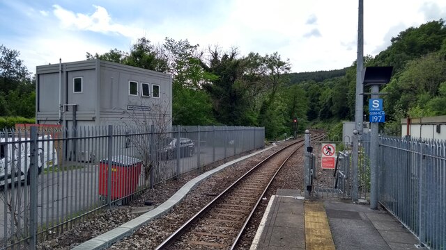
Abercynon North railway station
Abercynon North railway station was one of two railway stations - North and South - serving the village of Abercynon in the Cynon Valley, Wales. It was...
Tabernacle Chapel, Abercynon
Tabernacle, Abercynon was a Calvinistic Methodist chapel in Edward Street, Abercynon, Mid Glamorgan, Wales. Services at Tabernacle were conducted in the...
Pentwyn Deintyr
Pentwyn Deintyr is a small Welsh community between Quakers Yard and Nelson, Caerphilly. The name Pentwyn Deintyr (= pen twyn (y) deintyr, top of the hill...
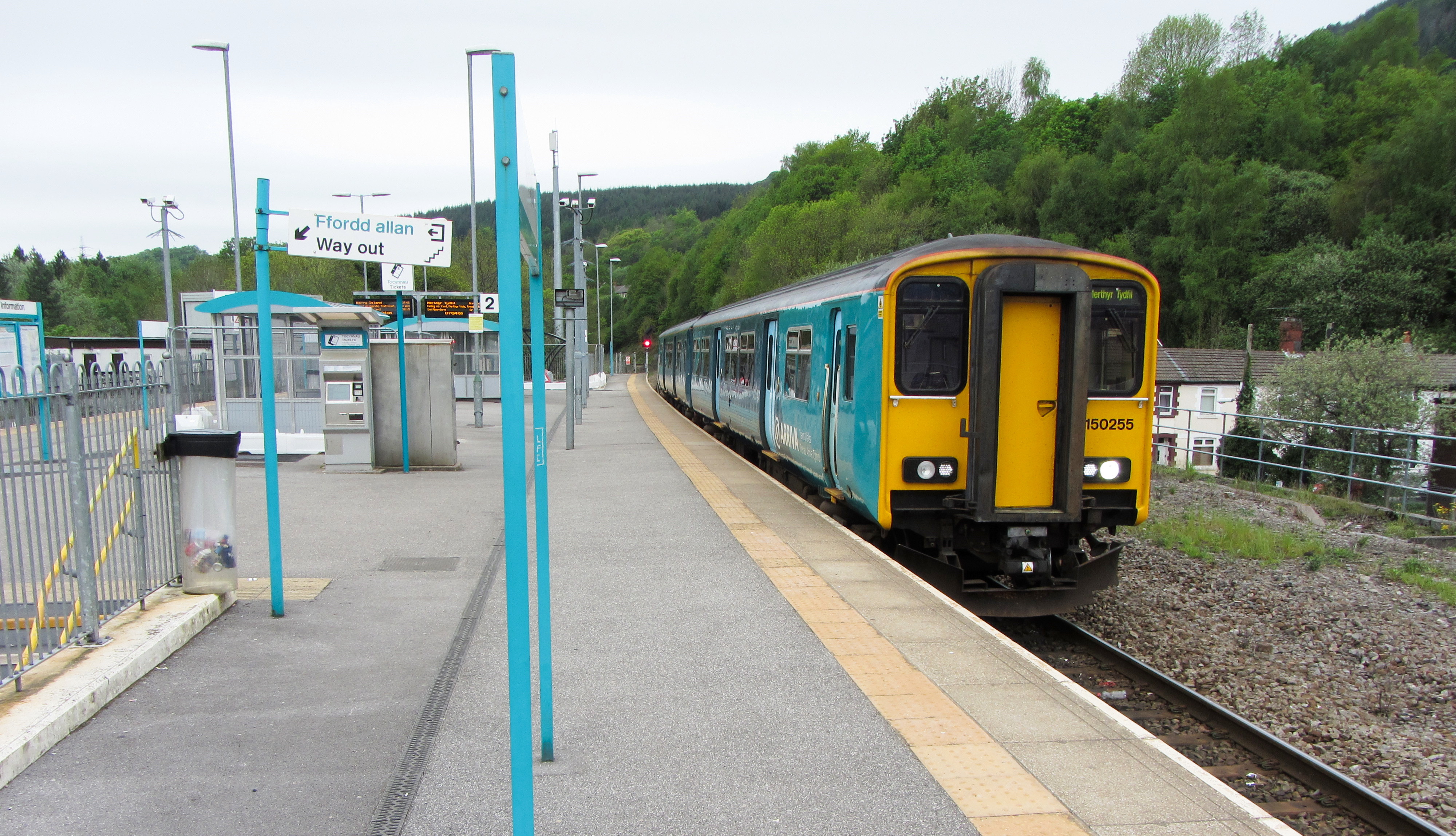
Abercynon railway station
Abercynon railway station is the railway station serving the village of Abercynon in the Cynon Valley, Wales. It is located on the Merthyr Line, 15.5 miles...
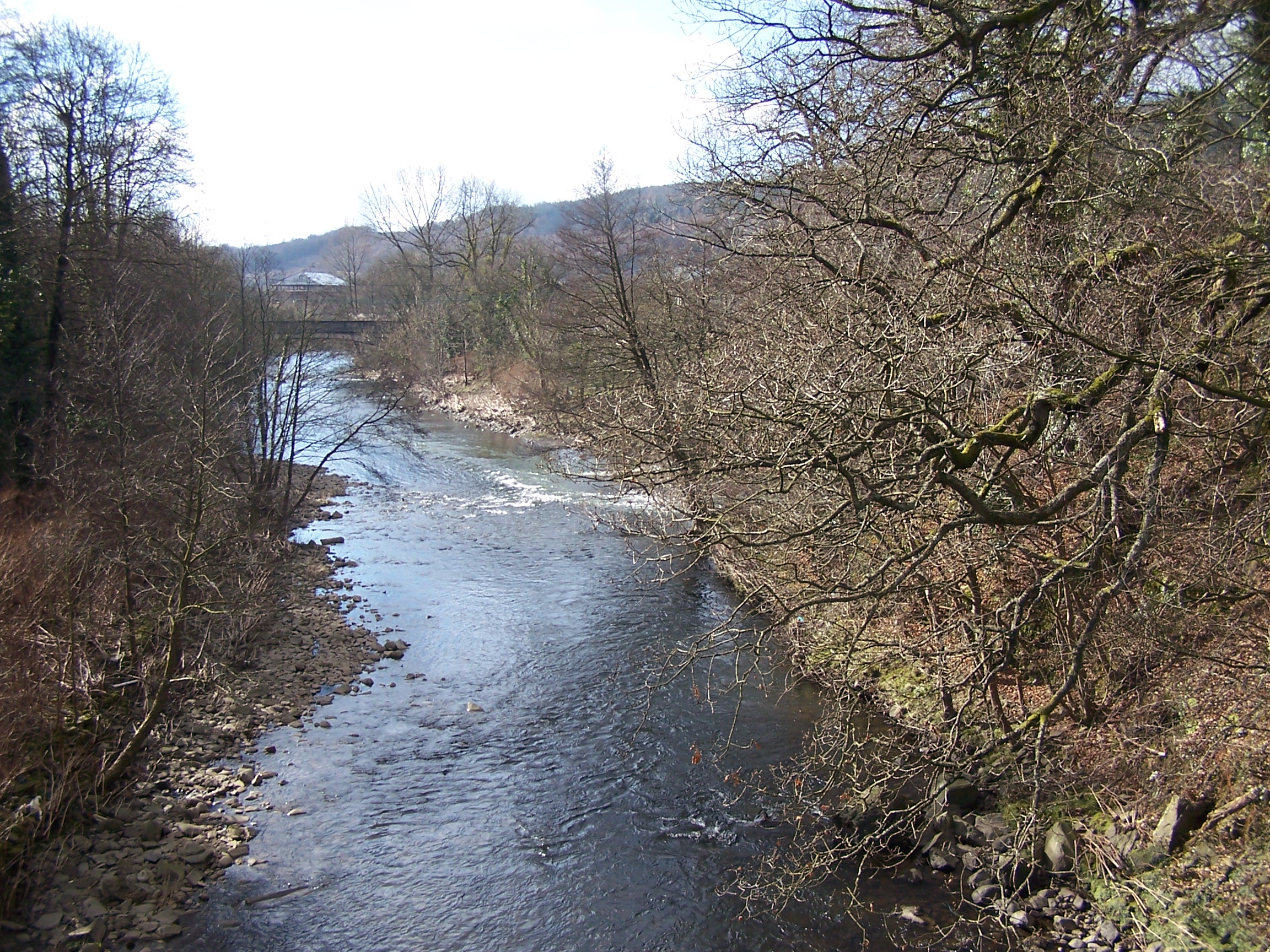
River Cynon
The River Cynon (Welsh: Afon Cynon) in South Wales is a main tributary of the Taff. Its source is the rising of Llygad Cynon (OS grid ref SN 95240 07740...
Bethania Chapel, Abercynon
Bethania, Abercynon was an Independent chapel in Mountain Ash Road, Abercynon, Glamorgan, Wales. Services at Bethania were conducted in the Welsh language...

Abercynon
Abercynon (Welsh pronunciation: [abɛrˈkənɔn]), is both a village and a community (and electoral ward) in the Cynon Valley within the unitary authority...
Calfaria Chapel, Abercynon
Calfaria, Abercynon was a Baptist chapel in Glancynon Street, Abercynon, Mid Glamorgan, Wales. Services at Calfaria were conducted in the Welsh language...
Related Videos


Our final thoughts on our P&O Canary Island cruise on Azura.
Find out what we thought of our trip to the Canary Islands on P&O Azura. We give our opinions on the food on board, the ...

Trip to the Giants Bite - Cefn Glas
just a little vid I made for my kids to see one of my bike rides in South Wales, not meant for public consumption, filmed on my S6 ...
Nearby Amenities
Located within 500m of 51.646067,-3.328531Have you been to Abercynon?
Leave your review of Abercynon below (or comments, questions and feedback).