Abercywarch
Settlement in Merionethshire
Wales
Abercywarch
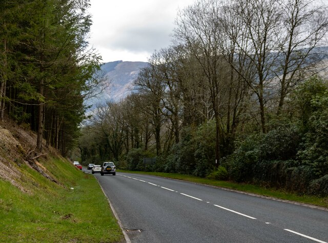
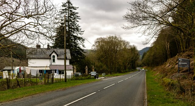
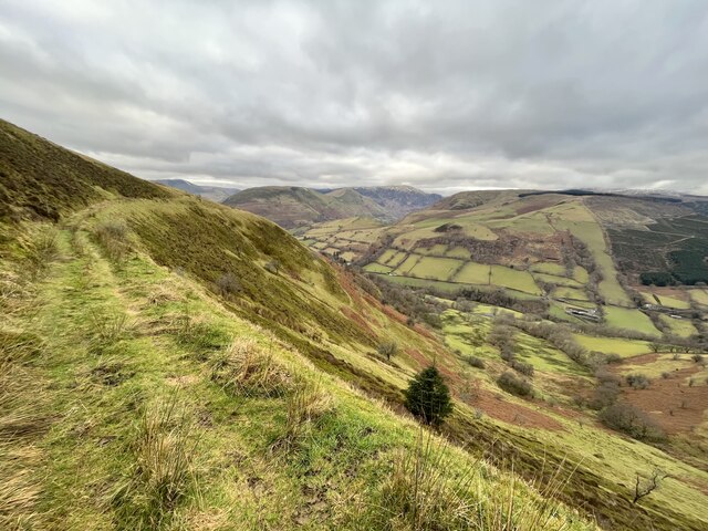
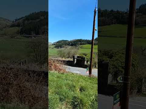
Abercywarch is a small village located in the county of Merionethshire, Wales. Situated in the southern part of the county, it lies within the Snowdonia National Park, surrounded by breathtaking natural beauty. The village is positioned near the A487 road, which provides convenient access to nearby towns and cities.
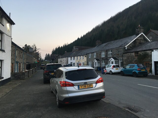
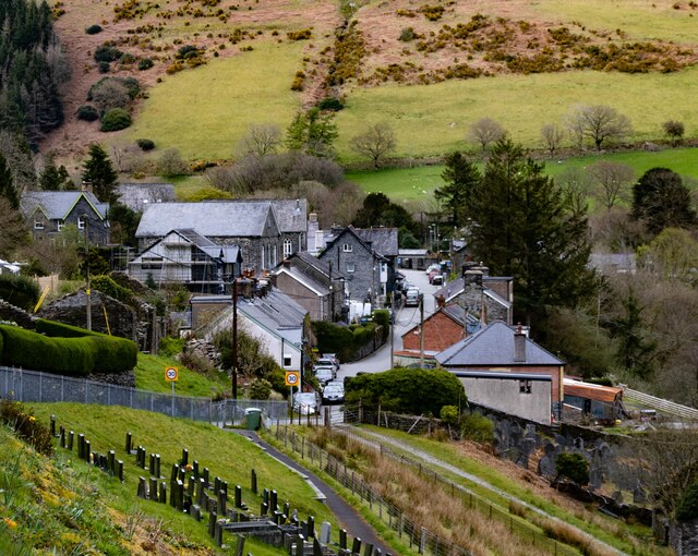
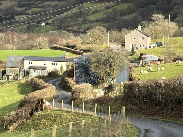
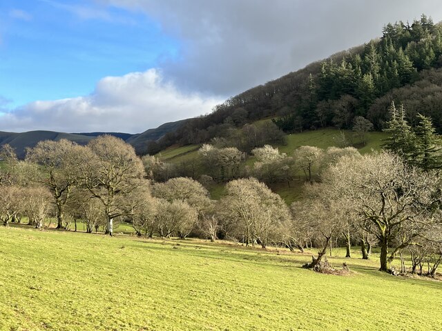
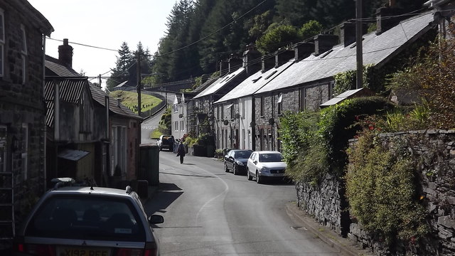
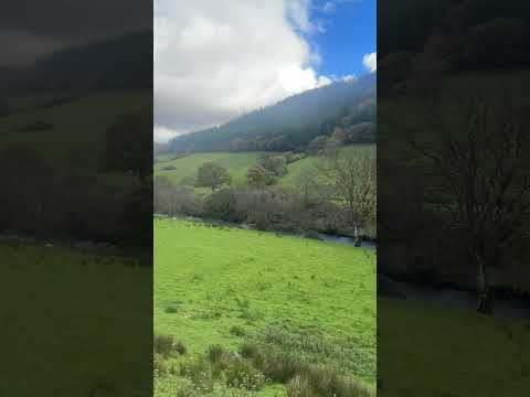
With a population of around 300 residents, Abercywarch offers a peaceful and close-knit community atmosphere. The village is characterized by its charming traditional Welsh architecture, with stone cottages and slate roofs dotting the landscape. The picturesque setting is enhanced by the presence of lush green fields and rolling hills, creating an idyllic backdrop for residents and visitors alike.
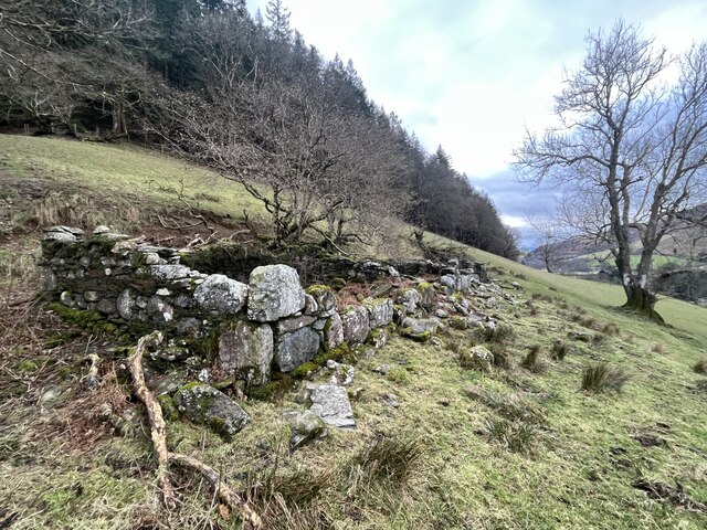
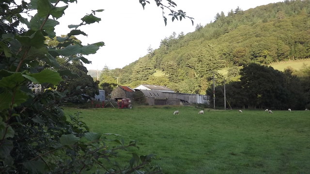
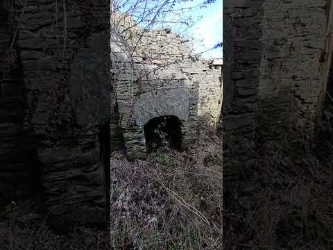
Despite its small size, Abercywarch boasts a rich history. The village was once a hub for the local farming community, and remnants of this agricultural heritage are still visible today. The nearby rivers and streams offer excellent fishing opportunities, attracting anglers from far and wide.
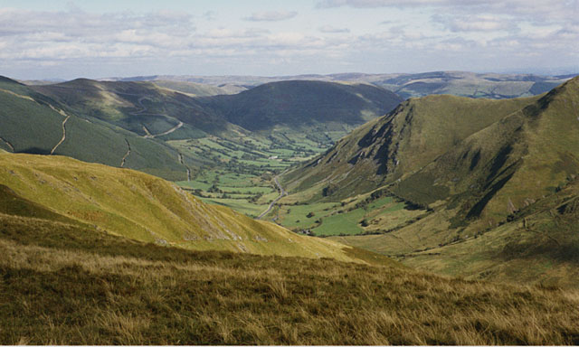
For those seeking outdoor adventure, Abercywarch is an excellent base. The surrounding Snowdonia National Park provides ample opportunities for hiking, mountain biking, and wildlife spotting. The village is also in close proximity to stunning natural attractions, such as the breathtaking Cadair Idris mountain and the enchanting Tallyllyn Lake.
While Abercywarch may be a tranquil and rural village, it is within easy reach of larger towns, such as Dolgellau and Machynlleth, where residents can access a wider range of amenities and services. Overall, Abercywarch offers a serene and picturesque setting for those seeking a peaceful lifestyle amidst the beauty of the Welsh countryside.
If you have any feedback on the listing, please let us know in the comments section below.
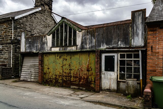
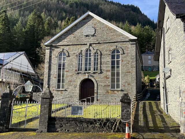
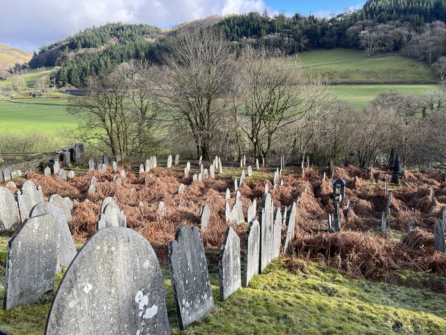
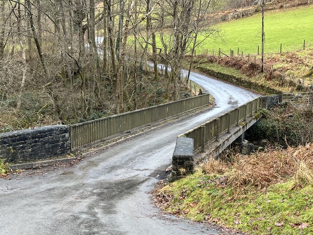
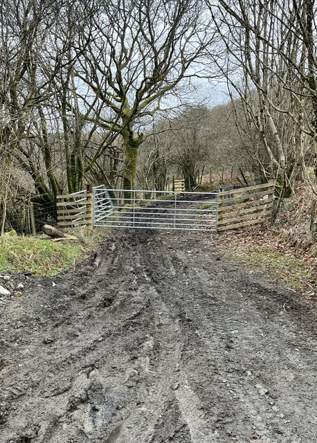
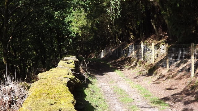
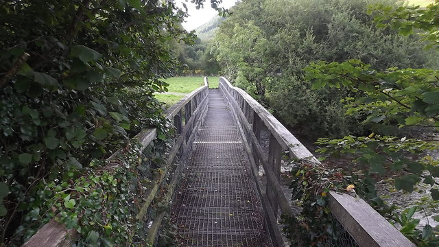
Abercywarch Images
Images are sourced within 2km of 52.727147/-3.67639 or Grid Reference SH8615. Thanks to Geograph Open Source API. All images are credited.
Abercywarch is located at Grid Ref: SH8615 (Lat: 52.727147, Lng: -3.67639)
Unitary Authority: Gwynedd
Police Authority: North Wales
Also known as: Aber-Cywarch
What 3 Words
///tides.uproot.gobbles. Near Cwm-Llinau, Powys
Nearby Locations
Related Wikis

Aber-Cywarch
Cywarch is a location at the head of Cwm Cywarch in the Snowdonia National Park, in Gwynedd, Wales. Several streams flow through the area, uniting to form...
Afon Cerist
The Afon Cerist is a small river that flows from underneath Craig Portas, the cliffs on the north side of Maesglase mountain, to meet the River Dyfi at...

Dinas Mawddwy
Dinas Mawddwy () is a village in the community of Mawddwy in south-east Gwynedd, north Wales. It lies within the Snowdonia National Park, but just to the...
Mawddwy
Mawddwy is a community in the county of Gwynedd, Wales, and is 88.3 miles (142.2 km) from Cardiff and 172.8 miles (278.0 km) from London. In 2011 the population...
Minllyn quarry
Minllyn quarry was a slate quarry near Dinas Mawddwy in Wales that opened before 1793 and continued working intermittently until 1925. The quarry is located...

Pont Minllyn
Pont Minllyn (also known as Pont-y-Ffinant or Pontrusk Bridge) is a bridge spanning the Afon Dyfi, north of the village of Mallwyd, in Gwynedd, Wales....
Meirion Mill Railway
The Meirion Mill Railway was a narrow gauge railway that operated at Meirion Mill in Dinas Mawddwy, Wales. It only operated for three years from 1975 to...
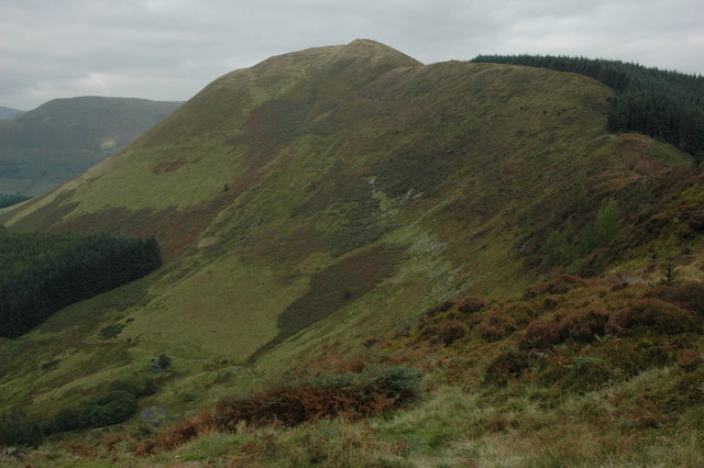
Foel Dinas
Foel Dinas is a mountain in Wales. It is the north-westernmost peak of the Dyfi Hills and sits above the town of Dinas Mawddwy. In the 1870s its eastern...
Related Videos

Epic Wild Camping on a mountain
Patreon: https://www.patreon.com/sortofinteresting My boat life books: https://amzn.to/45UhQd7 My AudioBook: ...
Nearby Amenities
Located within 500m of 52.727147,-3.67639Have you been to Abercywarch?
Leave your review of Abercywarch below (or comments, questions and feedback).