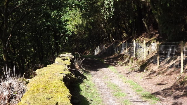
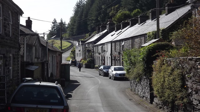
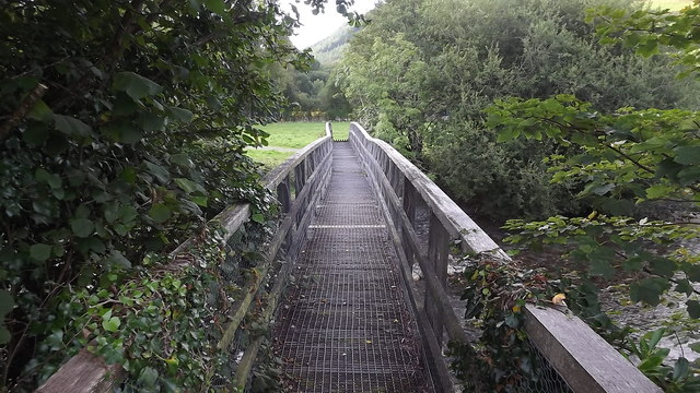
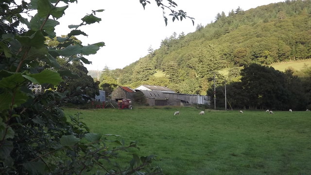
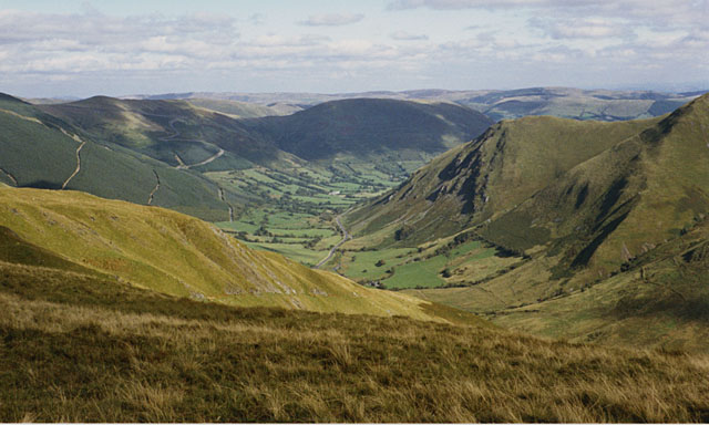
Coed Glaslyn

Wood, Forest in Merionethshire

Wales

Coed Glaslyn

Dinas Mawddwy
Dinas Mawddwy Credit: Steven Brown

The requested URL returned error: 429 Too Many Requests

If you have any feedback on the listing, please let us know in the comments section below.
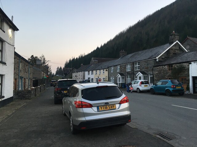
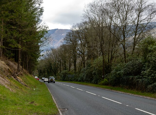
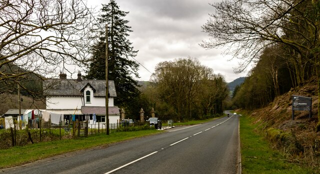
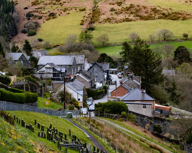
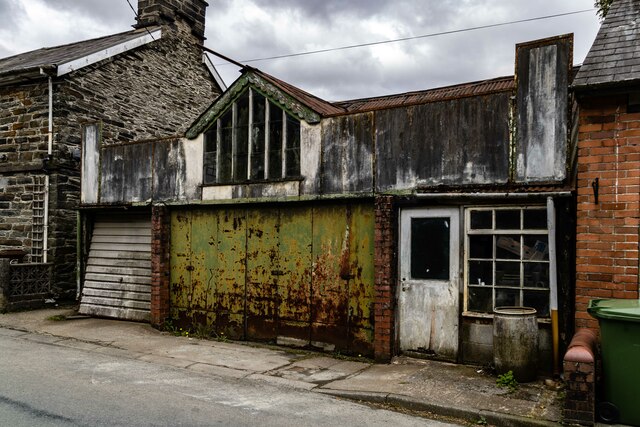
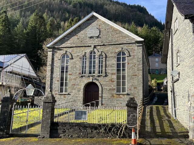
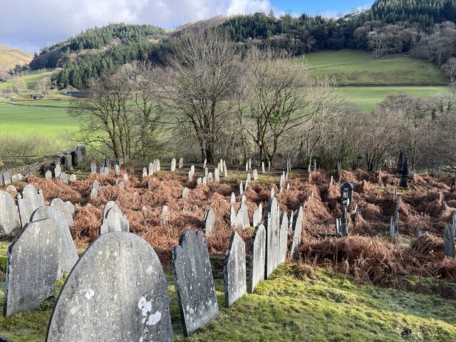
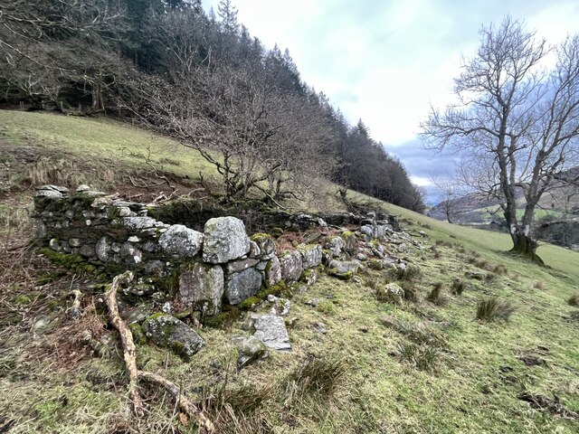
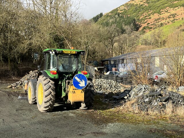
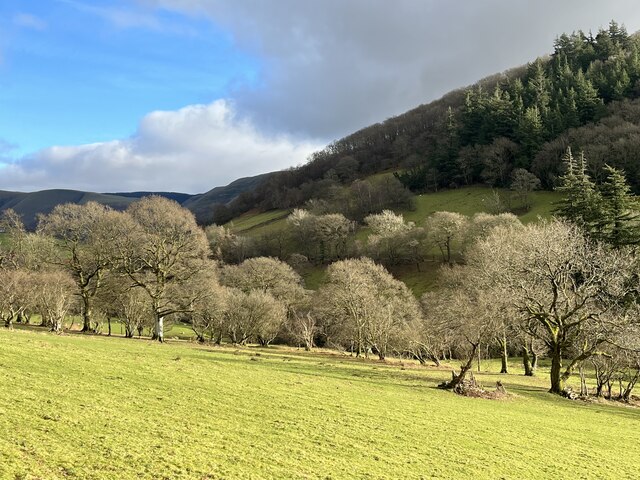
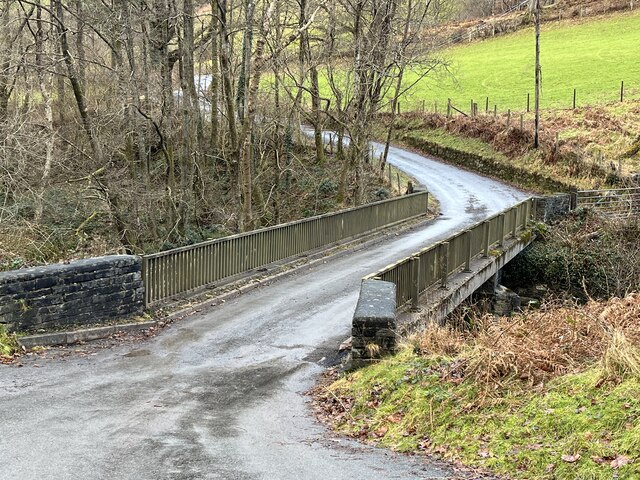
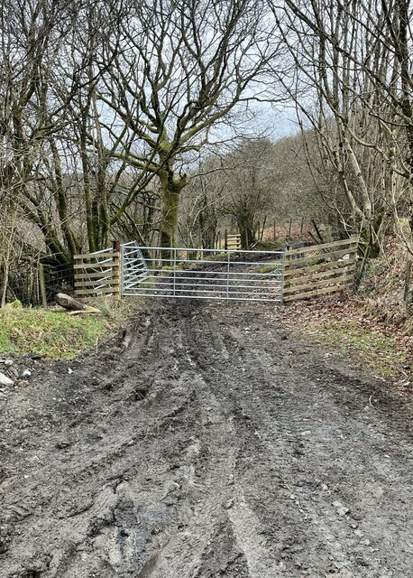
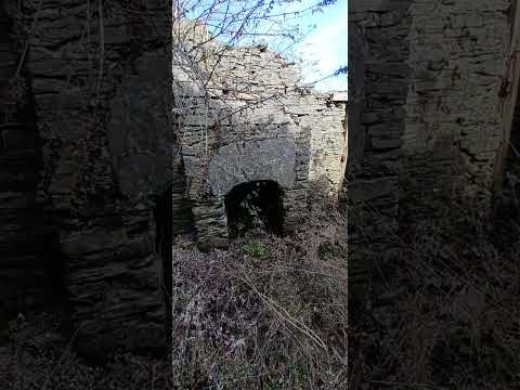
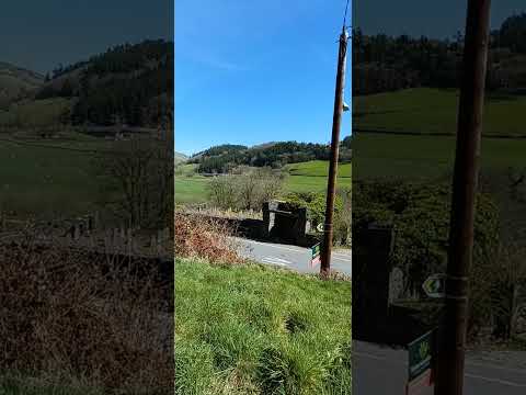
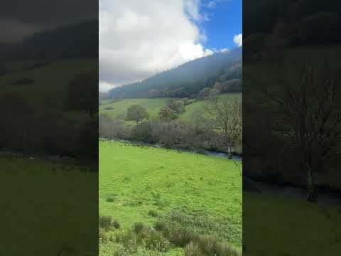
Coed Glaslyn Images

Images are sourced within 2km of 52.72398/-3.6811694 or Grid Reference SH8615. Thanks to Geograph Open Source API. All images are credited.

Dinas Mawddwy
Dinas Mawddwy
Dolhir Cottage Dolhir Cottage on the A470 near Dinas Mawddwy.
Dolhir Cottage
Dolhir Cottage on the A470 near Dinas Mawddwy.
Meirion Mill Meirion Wool Mill.
Meirion Mill
Meirion Wool Mill.
Dinas Mawddwy
Dinas Mawddwy
Dinas Mawddwy Old workshop or garage in Dinas Mawddwy.
Dinas Mawddwy
Old workshop or garage in Dinas Mawddwy.
Ebenezer Congregational Chapel, Dinas Mawddwy
Dinas Mawddwy Cemetery
Long abandoned A ruined building in a field above the Dyfi valley.
Long abandoned
A ruined building in a field above the Dyfi valley.
Waiting for snow? A tractor parked in the local Highways Dept yard.
Waiting for snow?
A tractor parked in the local Highways Dept yard.
Trees in winter In the upper Dyfi valley.
Trees in winter
In the upper Dyfi valley.
Bridge over the River Dyfi
Gate on muddy track
Gate on muddy track
Forest track near Dinas Mawddwy
The main street of Dinas Mawddwy
Footbridge at Dinas Mawddwy
Farm near Dinas Mawddwy
Uwchben Nant Maesglase / Above Nant Maesglase Cerddwyr yn dilyn llwybr uwchben Nant Maesglase.

Walkers following a footpath above Nant Maesglase.
Uwchben Nant Maesglase / Above Nant Maesglase
Cerddwyr yn dilyn llwybr uwchben Nant Maesglase. Walkers following a footpath above Nant Maesglase.
Show me another place!

Coed Glaslyn is located at Grid Ref: SH8615 (Lat: 52.72398, Lng: -3.6811694)

Unitary Authority: Gwynedd

Police Authority: North Wales

What 3 Words

///bulge.gullible.beaker. Near Cwm-Llinau, Powys

Related Wikis

Cywarch

Cywarch (also known as Aber-Cywarch or Aber Cywarch) is a location at the head of Cwm Cywarch in the Snowdonia National Park, in Gwynedd, Wales. Several...

Afon Cerist

The Afon Cerist is a small river that flows from underneath Craig Portas, the cliffs on the north side of Maesglase mountain, to meet the River Dyfi at...

Dinas Mawddwy

Dinas Mawddwy (Welsh pronunciation: [ˈdiːnas mau̯ðʊɨ̯]; ) is a town in the community of Mawddwy in south-east Gwynedd, north Wales. It lies within the...

Mawddwy

Mawddwy is a community in the county of Gwynedd, Wales, and is 88.3 miles (142.2 km) from Cardiff and 172.8 miles (278.0 km) from London. In 2011 the population...

Related Videos

Epic Wild Camping on a mountain

Patreon: https://www.patreon.com/sortofinteresting My boat life books: https://amzn.to/45UhQd7 My AudioBook: ...

Nearby Amenities

Located within 500m of 52.72398,-3.6811694
Source: npe
Lat/Long: 52.7241503/-3.681156
Source: npe
Lat/Long: 52.7247987/-3.6807341
Source: npe
Lat/Long: 52.7260616/-3.6784234
Source: npe
Lat/Long: 52.7274651/-3.6772861
Building: yes
Lat/Long: 52.726587/-3.6765318
Building: yes
Lat/Long: 52.7277175/-3.6787634
Place: farm
Lat/Long: 52.7224191/-3.6860499
Telephone
Booth: K6
Covered: booth
Operator: BT
Phone: +44 1650 531246
Lat/Long: 52.7276639/-3.6778868
Post Box
Post Box Type: lamp
Royal Cypher: EIIR
Royal Cypher Wikidata: Q33102113
Lat/Long: 52.727605/-3.6776642
The data included in this document is from www.openstreetmap.org. The data is made available under ODbL.

Have you been to Coed Glaslyn?

Leave your review of Coed Glaslyn below (or comments, questions and feedback).