Coed Cefncoch
Wood, Forest in Merionethshire
Wales
Coed Cefncoch
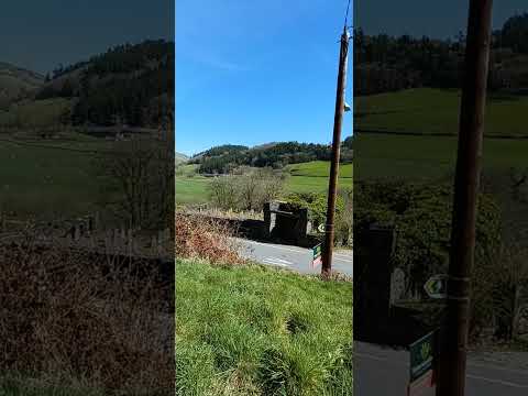
Coed Cefncoch is a picturesque woodland located in the historic county of Merionethshire, Wales. It is situated in the heart of Snowdonia National Park, covering an area of approximately 500 acres. The name "Cefncoch" translates to "red ridge", which accurately describes the reddish hue of the soil found in the area.
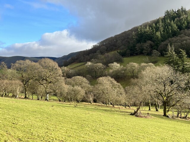
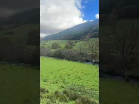
This ancient woodland is a haven for nature enthusiasts, offering a diverse range of flora and fauna. The forest is predominantly composed of native species such as oak, birch, and rowan trees, creating a stunning and vibrant landscape throughout the seasons. The dense canopy provides shelter for a variety of bird species, including woodpeckers, owls, and various songbirds.
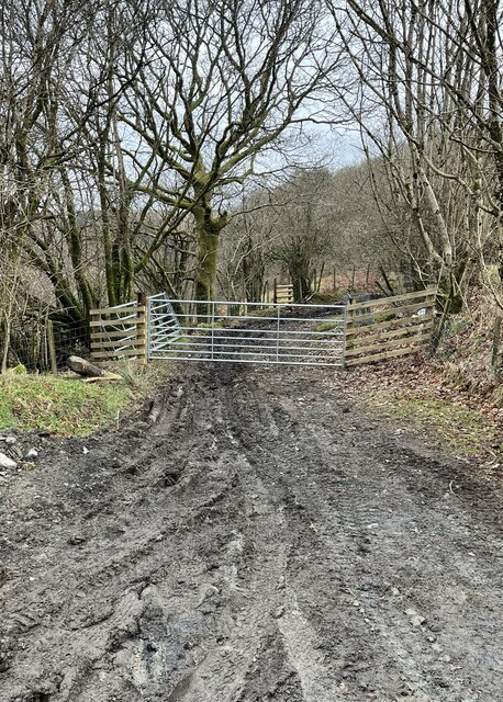
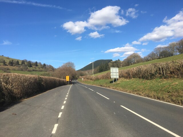
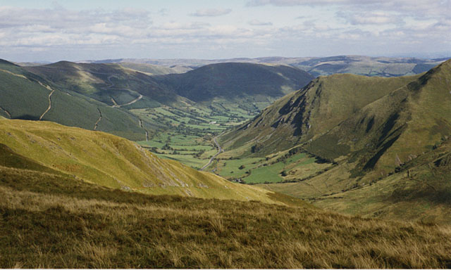
Coed Cefncoch is crisscrossed by a network of well-maintained footpaths, allowing visitors to explore the woodland at their leisure. These paths offer breathtaking views of the surrounding mountains and valleys, making it a popular destination for hikers and photographers alike.
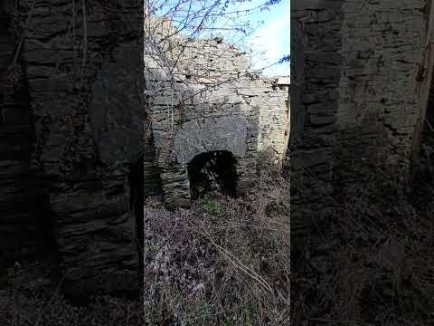
The forest also boasts a rich cultural history, with evidence of human activity dating back thousands of years. Archaeological remains, including ancient settlements and burial sites, can be found within the woodland, providing a fascinating glimpse into the area's past.
In addition to its natural and historical significance, Coed Cefncoch plays a vital role in conservation efforts. The woodland is managed sustainably, with ongoing efforts to protect and enhance its biodiversity. Educational programs and guided tours are available to raise awareness about the importance of preserving this unique ecosystem.
Overall, Coed Cefncoch is a hidden gem within Snowdonia National Park, offering visitors a tranquil escape into nature, rich in both beauty and history.
If you have any feedback on the listing, please let us know in the comments section below.
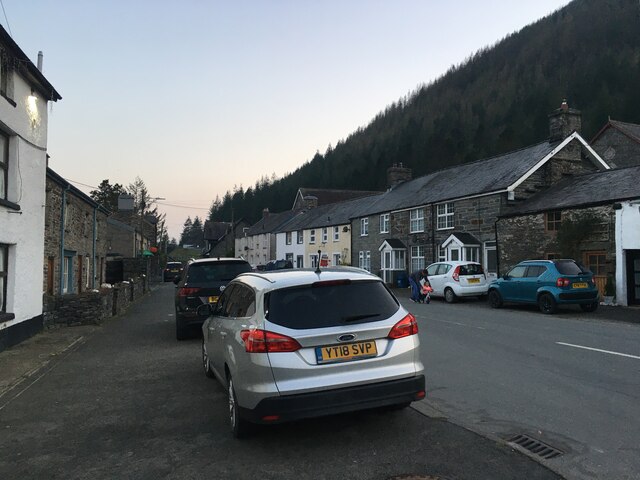
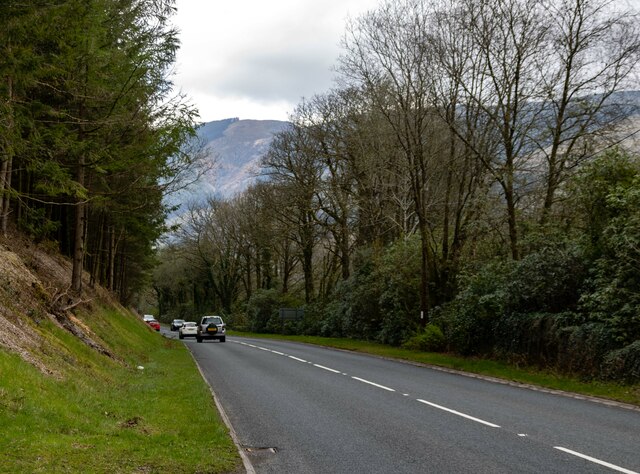
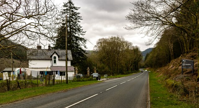
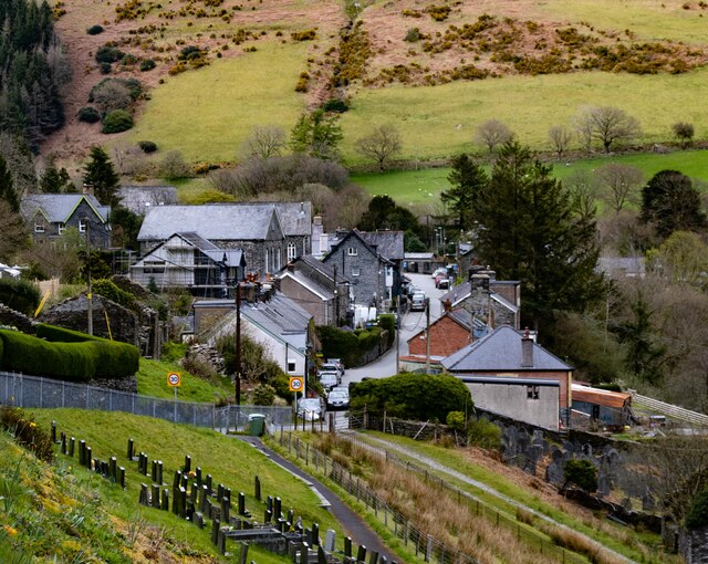
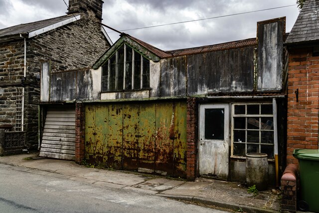
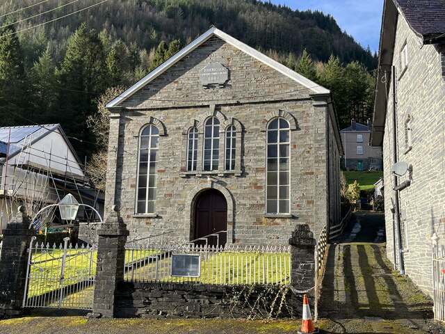
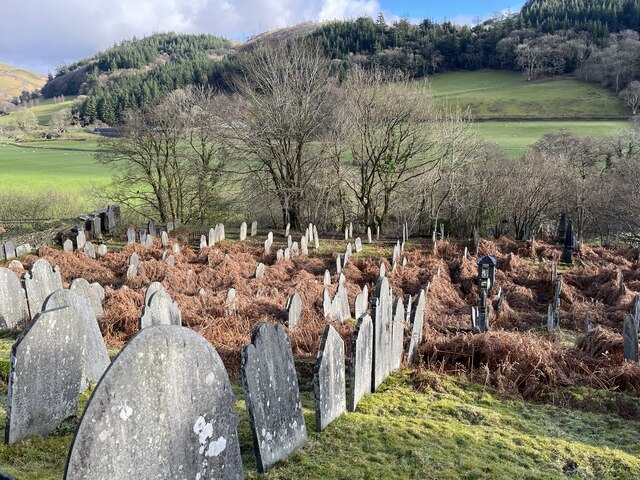
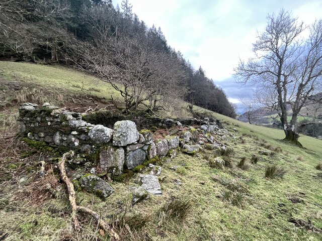
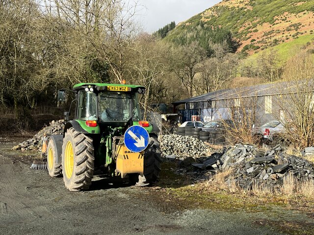
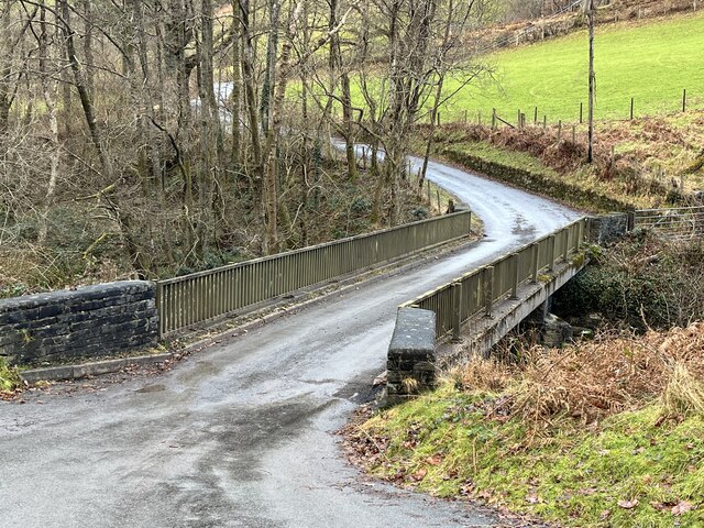
Coed Cefncoch Images
Images are sourced within 2km of 52.71393/-3.6810937 or Grid Reference SH8614. Thanks to Geograph Open Source API. All images are credited.


Coed Cefncoch is located at Grid Ref: SH8614 (Lat: 52.71393, Lng: -3.6810937)
Unitary Authority: Gwynedd
Police Authority: North Wales
What 3 Words
///tasteful.zaps.insisting. Near Cwm-Llinau, Powys
Nearby Locations
Related Wikis

Pont Minllyn
Pont Minllyn (also known as Pont-y-Ffinant or Pontrusk Bridge) is a bridge spanning the Afon Dyfi, north of the village of Mallwyd, in Gwynedd, Wales....

Meirion Mill Railway
The Meirion Mill Railway was a narrow gauge railway that operated at Meirion Mill in Dinas Mawddwy, Wales. It only operated for three years from 1975 to...
Afon Cerist
The Afon Cerist is a small river that flows from underneath Craig Portas, the cliffs on the north side of Maesglase mountain, to meet the River Dyfi at...

Dinas Mawddwy
Dinas Mawddwy () is a village in the community of Mawddwy in south-east Gwynedd, north Wales. It lies within the Snowdonia National Park, but just to the...
Mawddwy
Mawddwy is a community in the county of Gwynedd, Wales, and is 88.3 miles (142.2 km) from Cardiff and 172.8 miles (278.0 km) from London. In 2011 the population...
Minllyn quarry
Minllyn quarry was a slate quarry near Dinas Mawddwy in Wales that opened before 1793 and continued working intermittently until 1925. The quarry is located...
Aber-Cywarch
Cywarch is a location at the head of Cwm Cywarch in the Snowdonia National Park, in Gwynedd, Wales. Several streams flow through the area, uniting to form...

Mallwyd
Mallwyd () is a small village at the most southern end of Gwynedd, Wales, in the Dinas Mawddwy community, in the valley of the River Dyfi. It lies on the...
Related Videos

Epic Wild Camping on a mountain
Patreon: https://www.patreon.com/sortofinteresting My boat life books: https://amzn.to/45UhQd7 My AudioBook: ...
Nearby Amenities
Located within 500m of 52.71393,-3.6810937Have you been to Coed Cefncoch?
Leave your review of Coed Cefncoch below (or comments, questions and feedback).