Aber-Cywarch
Settlement in Merionethshire
Wales
Aber-Cywarch
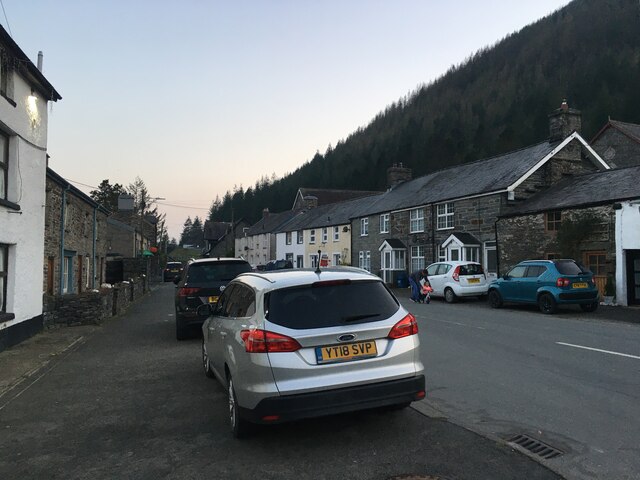
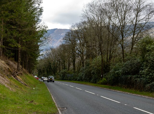
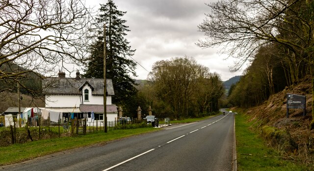
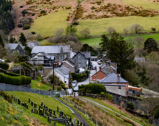
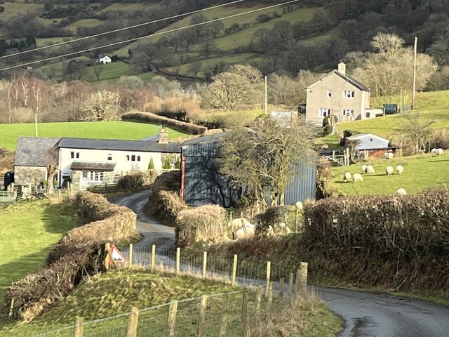
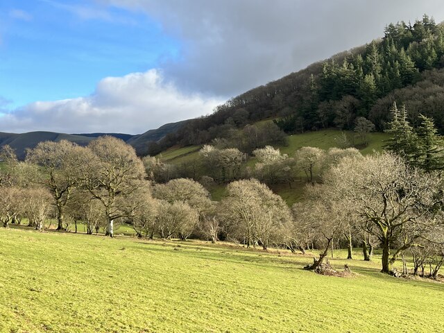
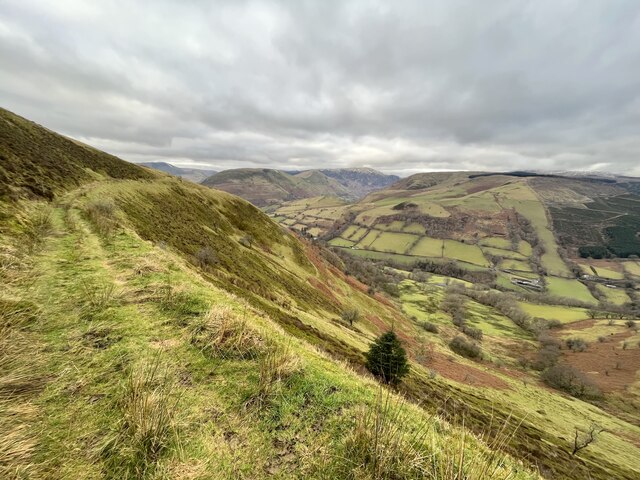
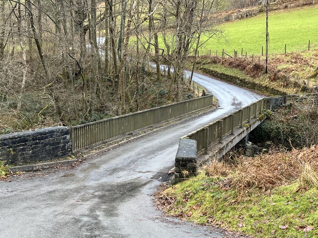
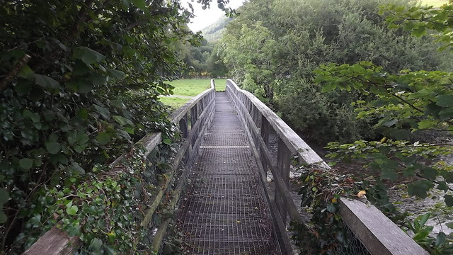
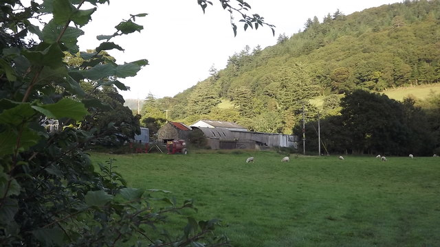
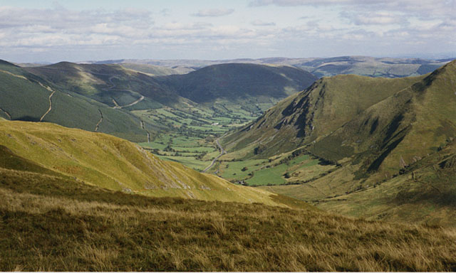
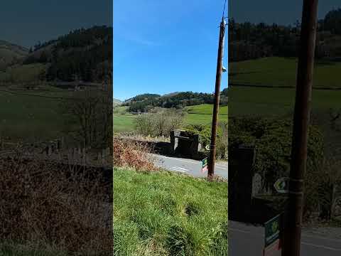
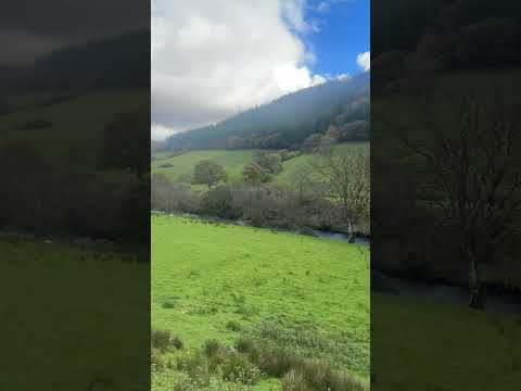
Aber-Cywarch is a small village located in Merionethshire, Wales. Situated amidst the picturesque countryside of Snowdonia National Park, it is approximately 9 miles southeast of Machynlleth, the nearest town. The village lies in a valley along the banks of the River Dyfi, with stunning views of the surrounding hills and mountains.
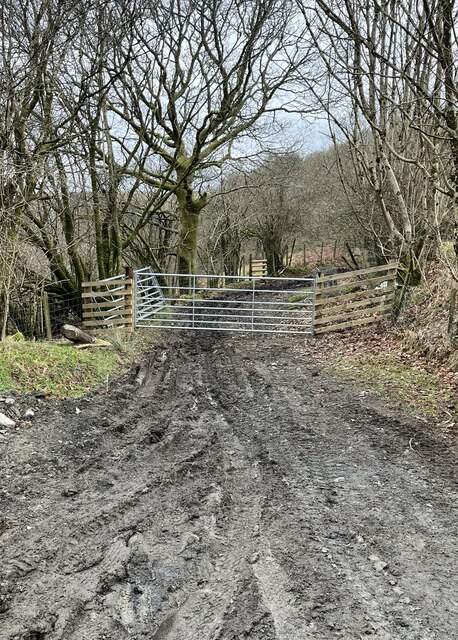
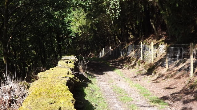
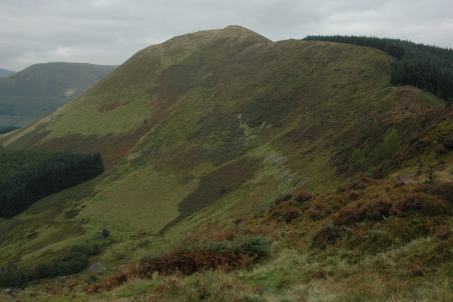
The area is renowned for its natural beauty and provides a haven for outdoor enthusiasts. Aber-Cywarch is particularly popular among hikers and mountain bikers, as it offers easy access to a variety of trails and paths. The nearby Cadair Idris mountain range provides a challenging yet rewarding climb for experienced walkers.
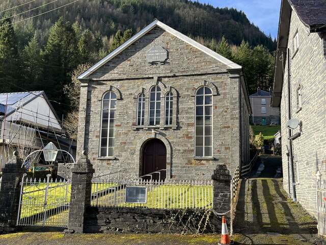
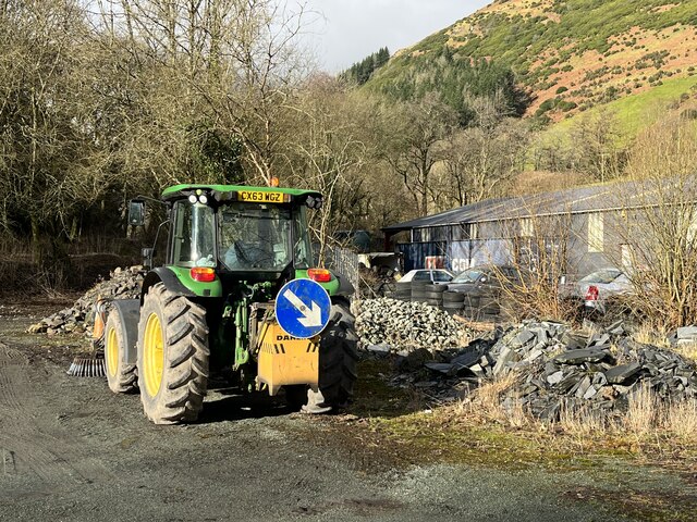
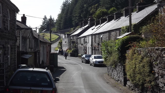
The village itself is small but charming, with a close-knit community. It boasts a few amenities, including a local pub and a small convenience store for essential supplies. The village also has a camping site, making it an attractive destination for tourists seeking a peaceful retreat in nature.
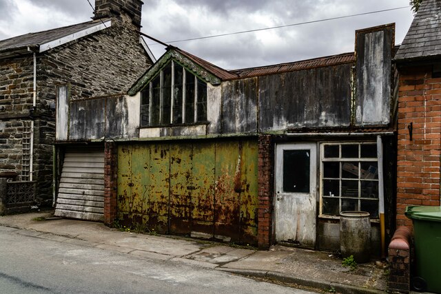
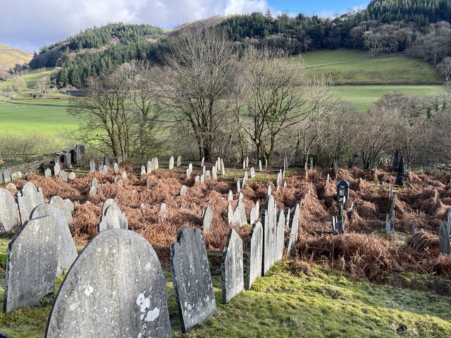
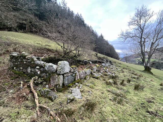
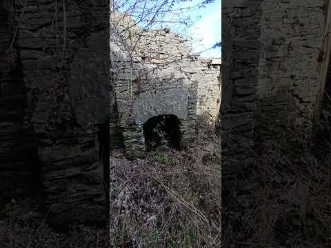
Aber-Cywarch is steeped in history, with evidence of human habitation dating back thousands of years. The area was once known for its lead mines, which were active during the 19th century. Today, remnants of these mines can still be seen in the form of abandoned buildings and mining equipment.
Overall, Aber-Cywarch offers a tranquil escape for those seeking natural beauty, outdoor activities, and a taste of Welsh village life. Its idyllic location and rich history make it a hidden gem within the stunning landscape of Snowdonia National Park.
If you have any feedback on the listing, please let us know in the comments section below.
Aber-Cywarch Images
Images are sourced within 2km of 52.727147/-3.67639 or Grid Reference SH8615. Thanks to Geograph Open Source API. All images are credited.
Aber-Cywarch is located at Grid Ref: SH8615 (Lat: 52.727147, Lng: -3.67639)
Unitary Authority: Gwynedd
Police Authority: North Wales
Also known as: Abercywarch
What 3 Words
///tides.uproot.gobbles. Near Cwm-Llinau, Powys
Nearby Locations
Related Wikis

Cywarch
Cywarch (also known as Aber-Cywarch or Aber Cywarch) is a location at the head of Cwm Cywarch in the Snowdonia National Park, in Gwynedd, Wales. Several...
Afon Cerist
The Afon Cerist is a small river that flows from underneath Craig Portas, the cliffs on the north side of Maesglase mountain, to meet the River Dyfi at...

Dinas Mawddwy
Dinas Mawddwy (Welsh pronunciation: [ˈdiːnas vau̯ðʊɨ̯]) () is a village in the community of Mawddwy in south-east Gwynedd, north Wales. It lies within...
Mawddwy
Mawddwy is a community in the county of Gwynedd, Wales, and is 88.3 miles (142.2 km) from Cardiff and 172.8 miles (278.0 km) from London. In 2011 the population...
Minllyn quarry
Minllyn quarry was a slate quarry near Dinas Mawddwy in Wales that opened before 1793 and continued working intermittently until 1925. The quarry is located...

Pont Minllyn
Pont Minllyn (also known as Pont-y-Ffinant or Pontrusk Bridge) is a bridge spanning the Afon Dyfi, north of the village of Mallwyd, in Gwynedd, Wales....
Meirion Mill Railway
The Meirion Mill Railway was a narrow gauge railway that operated at Meirion Mill in Dinas Mawddwy, Wales. It only operated for three years from 1975 to...
Foel Dinas
Foel Dinas is a mountain in Wales. It is the north-westernmost peak of the Dyfi Hills and sits above the town of Dinas Mawddwy. In the 1870s its eastern...
Related Videos

Epic Wild Camping on a mountain
Patreon: https://www.patreon.com/sortofinteresting My boat life books: https://amzn.to/45UhQd7 My AudioBook: ...
Nearby Amenities
Located within 500m of 52.727147,-3.67639Have you been to Aber-Cywarch?
Leave your review of Aber-Cywarch below (or comments, questions and feedback).